HIPPYVALLEY
-
Posts
32,932 -
Joined
-
Last visited
Content Type
Profiles
Blogs
Forums
American Weather
Media Demo
Store
Gallery
Everything posted by HIPPYVALLEY
-
Looks like solid advisory N of RT 2. Man snow too.
-
That's certainly not a stretch and should surprise no one if it happens. Let's see what tomorrow brings on the models.
-

December 2021 Obs/Disco...Dreaming of a White-Weenie Xmas
HIPPYVALLEY replied to 40/70 Benchmark's topic in New England
Damn, 55° in downtown Greenfield at 5 PM, in mid December. -
I’ll wait until tomorrow morning to set my goal posts.
-
Well, that’s always a risk with these set-ups.
-
He doesn't know the secret handshakes that the big fakes use.
-
NAM
.png.4621fefbcfa6629515cdc4d45f86f9b2.png)
-
December 2021 Obs/Disco...Dreaming of a White-Weenie Xmas
HIPPYVALLEY replied to 40/70 Benchmark's topic in New England
I was thinking the same. Rt 2 corridor into SNH 3-4" and 4-6" if we can get the juicier initial thump. I'm fine with some freeing drizzle to finish. -
December 2021 Obs/Disco...Dreaming of a White-Weenie Xmas
HIPPYVALLEY replied to 40/70 Benchmark's topic in New England
We'll be fine. -
December 2021 Obs/Disco...Dreaming of a White-Weenie Xmas
HIPPYVALLEY replied to 40/70 Benchmark's topic in New England
It’s uncanny how often it actually works out that the Mass Pike is a haves and haves not dividing line by +\- 10 miles. -
December 2021 Obs/Disco...Dreaming of a White-Weenie Xmas
HIPPYVALLEY replied to 40/70 Benchmark's topic in New England
Was he carrying big striped woolly caterpillar’s as passengers? -
December 2021 Obs/Disco...Dreaming of a White-Weenie Xmas
HIPPYVALLEY replied to 40/70 Benchmark's topic in New England
I was working over at Prudential Center that day and walked back to Cambridge rather than get on the bus. -
December 2021 Obs/Disco...Dreaming of a White-Weenie Xmas
HIPPYVALLEY replied to 40/70 Benchmark's topic in New England
Worst CRV screw job ever? -
December 2021 Obs/Disco...Dreaming of a White-Weenie Xmas
HIPPYVALLEY replied to 40/70 Benchmark's topic in New England
It is literally dead calm up here right now with fog and drizzle. 36/35 -
December 2021 Obs/Disco...Dreaming of a White-Weenie Xmas
HIPPYVALLEY replied to 40/70 Benchmark's topic in New England
Yeah, brutal. High of 36F with clouds and mist all day. Forecast bust. -
December 2021 Obs/Disco...Dreaming of a White-Weenie Xmas
HIPPYVALLEY replied to 40/70 Benchmark's topic in New England
34/33. Heavy rain. Uhg. This was supposed to be Berkshire East opening day. -
December 2021 Obs/Disco...Dreaming of a White-Weenie Xmas
HIPPYVALLEY replied to 40/70 Benchmark's topic in New England
Tis' better to give than to receive. -
December 2021 Obs/Disco...Dreaming of a White-Weenie Xmas
HIPPYVALLEY replied to 40/70 Benchmark's topic in New England
That picture literally could be from the hippy swimming hole up the road from my house. -
December 2021 Obs/Disco...Dreaming of a White-Weenie Xmas
HIPPYVALLEY replied to 40/70 Benchmark's topic in New England
Not worried. Enjoy the anomalous warmth next week. I think we sneak something wintery in Christmas week, at least over the interior. -
December 2021 Obs/Disco...Dreaming of a White-Weenie Xmas
HIPPYVALLEY replied to 40/70 Benchmark's topic in New England
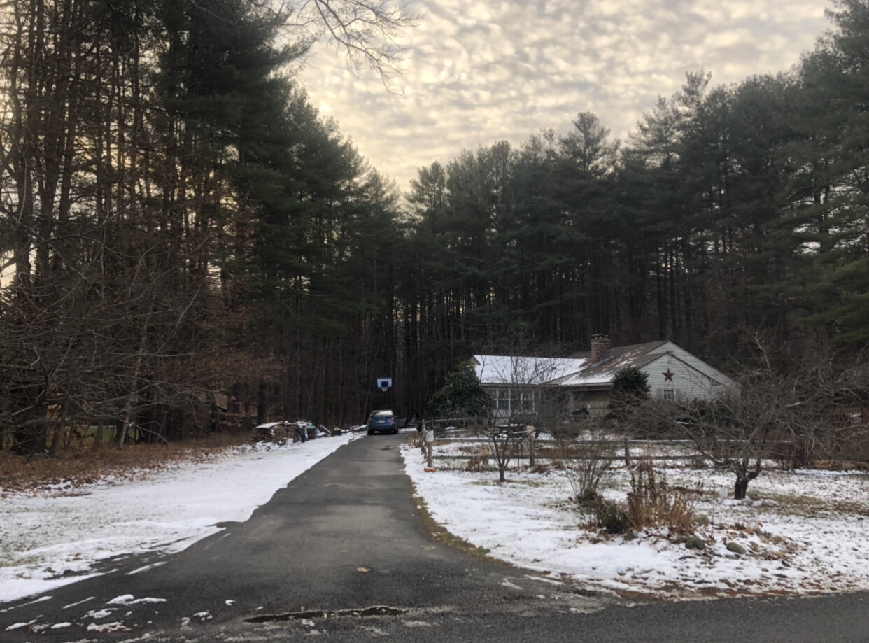
Holding on to Wednesday night snow remnants. No surprise since I’m usually one of the last yards in Greenfield with snow.
-
Wednesday 12/8 Possible Snow/Ice/Rain? Discussion
HIPPYVALLEY replied to Torch Tiger's topic in New England
2.2” total so a bit of an over performance. Gorgeous morning! -
Wednesday 12/8 Possible Snow/Ice/Rain? Discussion
HIPPYVALLEY replied to Torch Tiger's topic in New England
Steady -SN again. 28/24 I wish Albany radar was working. Probably another .10" in the past 15 minutes. -
Wednesday 12/8 Possible Snow/Ice/Rain? Discussion
HIPPYVALLEY replied to Torch Tiger's topic in New England
2" here which was the very high end of what I expected. Not entirely fluff either. -
Wednesday 12/8 Possible Snow/Ice/Rain? Discussion
HIPPYVALLEY replied to Torch Tiger's topic in New England
There you are. Ya' W MA to C MA with some decent precip and some good soundings. Almost 2" here so I bet the hills a few miles W of me are close to 3".