wx2fish
-
Posts
2,624 -
Joined
-
Last visited
Content Type
Profiles
Blogs
Forums
American Weather
Media Demo
Store
Gallery
Everything posted by wx2fish
-
+SN now
-
Been back and forth between hammering sleet and hammering snow. Mostly snow now
-
Just flipped to snow after about 1/4" of sleet
-
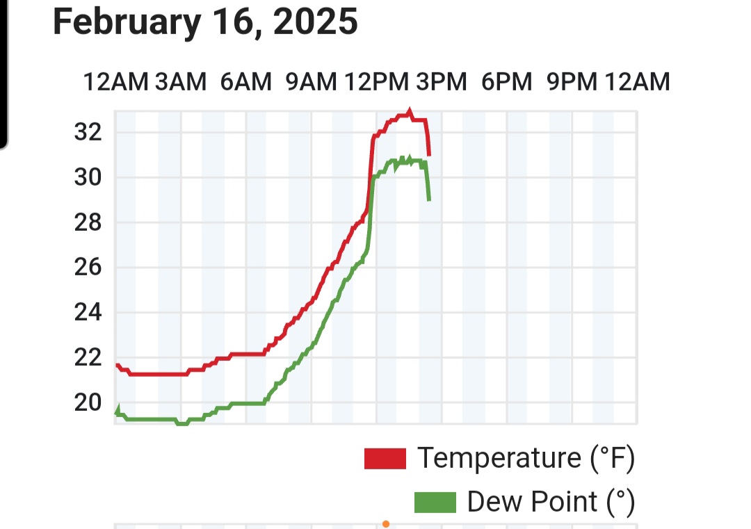
Tuck in full force now, down to 25F and falling quickly off a high of 34F. I'm guessing that next batch will be sleet but well find out shortly.
-
Been a slow grind south but the CF just slipped through. Probably starts moving a little quicker SE this evening
-
Near downtown Derry now.

-
CF may have maxed out just before reaching MHT. Meso stations near exit 5 on 93 dropping back into the 20s. It'll be interesting to see if its just waffling back and forth or it's really starting to press south.
-
Yeah drilling sleet still here. Looks like the CF is up around exit 4. It probably collapses late day/evening but it would be nice to avoid a ton of 33 rain. Pack really does look solid, haven't had this much meat in one in a few years. This stuff was so dense it took out my mailbox off the plow.
-
I'm sure the -SN obs at FIT and ASH aren't helping the ptype algorithms. Even though it's really sleet with some snow grains
-
CF went though here the temp jumped to 32-33F. Still a good deal of low level flakes though, so I'd imagine that 925-850 level is still pretty cold for the MA/NH border region
-
Probably some of that too. CF just went though here. Quick jump from 27 to 32. Still IP/snow grains
-
Likely temporary CF enhancement, but there's alot of flakes mixing back in here.
-
Up to about 6" snow/sleet. Fine pellets and snow grains for the last couple of hours. 27F.
-
Not atypical for a swfe type setup, but Newburyport may be the last place in MA to flip to sleet.
-
Looked margianlly colder at the sfc. Kept from here to ORH at or below freezing for most of it Solid thump too tonight.
-
FEB...CON -4.9F MHT -4.1F. Should drop more next week. Deep spring in NH
-
Canadian sure isn't supressed. Right into SNE
-
Soundings are pretty much snow for MHT through 15z. Not sure I buy how much it washes out the warm layer aloft
-
12k Nam was similar, driving it pretty far north. Climo they generally struggle or put up a good fight near the border Doubt we see the ICON 12F vs 34F, but the CF will likely be pretty dramatic.
-
Would generally think sfc will trend a bit colder, but not necessarily aloft in lead up, but well see
-
Wouldn't suprise me if its 32-34F for a time. True CF looks like it'll get pretty far north midday Sunday, before it crashes PM. Close enough small shifts will matter locally over the next 24 hours though, whether it's 31-32 or 33-34.
-
12z UK wants to play
-
Euro was the warmest model for today over the past couple of days. Everywhere is gonna spike near fropa, but euro was blasting 40s by to CON by 21z on a 48hr forecast
-
Probably would happen with a stronger primary and the mid levels ripping west. Im most interested in a decent front end and this run looked a little better for that
-
Hasn't been great lately imo. Too cold today, probably too cold this weekend. Doesnt mean next week won't whiff though.