wx2fish
-
Posts
2,631 -
Joined
-
Last visited
Content Type
Profiles
Blogs
Forums
American Weather
Media Demo
Store
Gallery
Everything posted by wx2fish
-
I lost that link, can you post it? I've been wanting to check MHT.
-
Yeah not cold, but would've been nice to get rid of the low deck for a bit
-
Sucked from ASH north and east
-
Never broke out today. Got within a few miles of clearing, but now it looks like the stratus is pushing back southwest some. Hate to see it
-
Off and on showers all afternoon with a few sunny breaks. String of meh continues
-
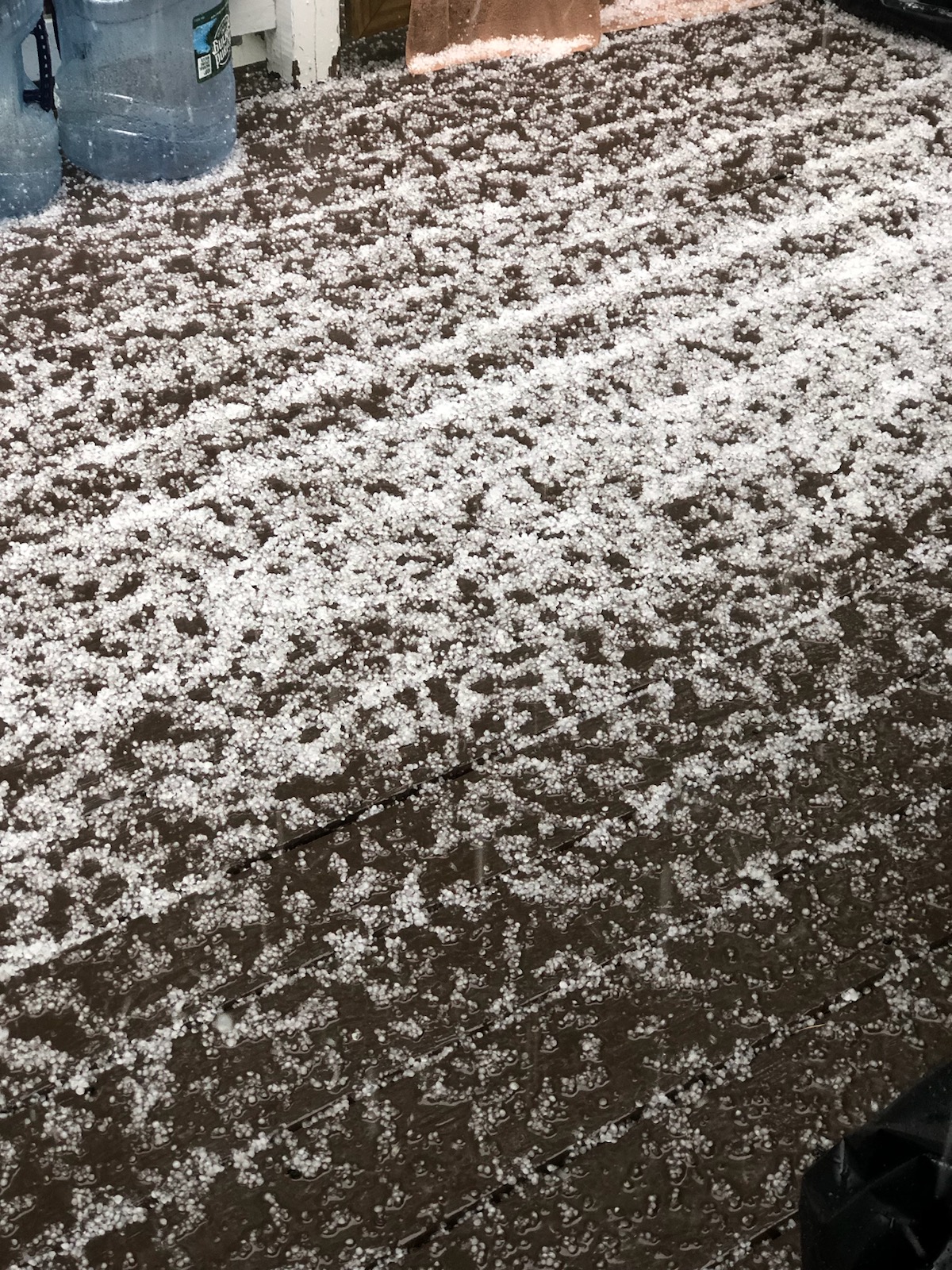
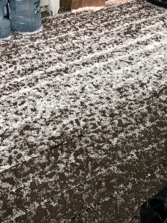
Small peas, but lots of them. I was on 28 in Salem a little while ago and it was already covered with a few inches of water in spots.
-
Hit 52 briefly, but down to 48 and light rain now. Brutal
-
Agree that it's kinda of a hybrid, not just a shallow pool of cold air surging south. Temp is still dropping heading into midday, 49F.
-
Temp still tickling down some. 50F. Ended up a pretty high end door off a 91F high yesterday. Well see if we recover at all later this afternoon.
-
I'd have to go tally them up but I feel like inland we've had several 40+ diurnals over the past 3 months. It's been a pretty solid rad stretch
-
May obs/discussion thread - Welcome to Severe Season!!
wx2fish replied to weatherwiz's topic in New England
Couldn't draw it up much worse than that euro run. Struggling to hit 50 on Sunday with firehouse Phil into Weymouth -
May obs/discussion thread - Welcome to Severe Season!!
wx2fish replied to weatherwiz's topic in New England
Tip approved backdoor next Sat on the gfs. Hopefully we can moderate that. -
Nice! Heck of a bag. I havent been out much, but I won a small club tourny on Merrymeeting with 4 smallies for 17.5lb. Been a good spring for big ones.
-
May obs/discussion thread - Welcome to Severe Season!!
wx2fish replied to weatherwiz's topic in New England
Noticed some of the roadside invasive stuff (some kind of bamboo I think) looks completely toasted after last night -
May obs/discussion thread - Welcome to Severe Season!!
wx2fish replied to weatherwiz's topic in New England
Low of 28. Coldest May temp since I set up my Davis in 2017. -
May obs/discussion thread - Welcome to Severe Season!!
wx2fish replied to weatherwiz's topic in New England
That's a pretty chilly airmass. 850s getting down around -8/-9 up there. Maybe you can grab a little uplsope. -
May obs/discussion thread - Welcome to Severe Season!!
wx2fish replied to weatherwiz's topic in New England
Seasons in seasons -
May obs/discussion thread - Welcome to Severe Season!!
wx2fish replied to weatherwiz's topic in New England
I was referencing the avg high/low for 5/2, but yeah 64 should be slightly AN on the high for BOS. -
May obs/discussion thread - Welcome to Severe Season!!
wx2fish replied to weatherwiz's topic in New England
Looks like 63/46 on yesterday's climo report for 5/2 -
Yeah Boston is +2.5 going into today, although HFD is running closer to ORH. Best +'s seem to be west and southwest
-
I found a couple when we still had patches of snow otg in March. Incredibly hardy suckers
-
That is one ugly gfs run.
-
It can pop up in people who had mild case of chicken pox, but not the vaccine. I had a very mild case of shingles a few years ago when I was in my 20s, and my brother just did around 30. I think we're more agressive with the chicken pox vax today in kids than back in the 90s.
-
Just had some grapuel mix in with the latest shower rolling though
-
Not a great look for those who've installed, but well hope for changes.