metagraphica
-
Posts
2,213 -
Joined
-
Last visited
Content Type
Profiles
Blogs
Forums
American Weather
Media Demo
Store
Gallery
Everything posted by metagraphica
-
=
-
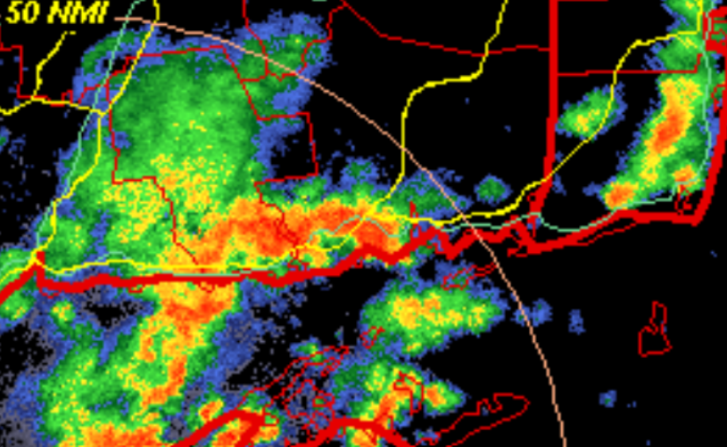
Just a bit outside. Nice thunder just to the north of my house (pink dot). Hopefully the SW CT storms hold together all the way here.
-
80/64 at 10:45am. Gotta love warm and moist. Would be better without the clouds.
-
Was just thinking that a little while ago. Barely any black flies other than early season. Those couple of cold snaps did 'em in thankfully.
-
Yep, annoying. Have a brand new field of grass. Would love to drop some extra seed and fert but we Steined.
-
What about if you join ICE? In weather related news, gorgeous top ten day here. Glad the pollen levels have come down from the last two weeks. I feel for our northern brethren who are in the middle of the worst of the pollen season.
-
82/44 Dry toast.
-
Winter 2026-2027 Speculation - It's gonna snow.
-
Yep, too many people look at that product and think "ooh red, it's gonna be hot" when it doesn't actually show temperatures at all.
-
Had a big one run across the road just down the hill from the house over the weekend. They're everywhere.
-
Almost noontime and still 56. This is no way to run Summah™.
-
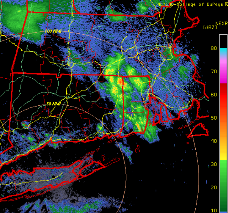
Not all virga. Just had a brief shower pass through down here in SE CT. I'm sure NE CT and RI are gettin' wet right now.
-

Anomalous Late Spring storm May 30 2026
metagraphica replied to HoarfrostHubb's topic in New England
Pretty interesting watching this thing drop SSE from Hudson's Bay.
-
More showery than I expected. Still a nice day for working outside.
-
Looking good for at least a little bit of clearing later this afternoon even in SE areas. Back in the warmth tomorrow.

-
Yep, was thinking that yesterday as the house got down to 65 and I kicked the heat on. What a cold miserable 3-day weekend.
-
They had a good video on social's showing them prepping Superstar this year for the final weekend.
-
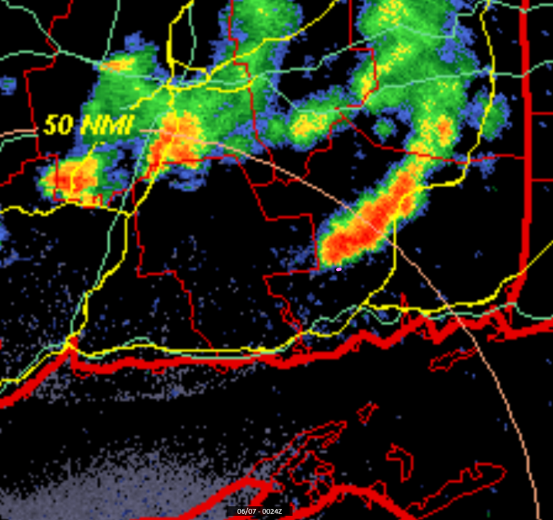
Amazing how long it took to get into NE CT. Force field indeed. The radar has been fascinating to watch today. Can't imagine the melts there would be in here if this was snow.
-
And SE CT. Rain since 11ish.
-
Been raining down here since 11ish. Temp down to 52 from a 'high' of 57. Wanted to get more yard work done too. Oh, well it'll wait until Monday afternoon.
-
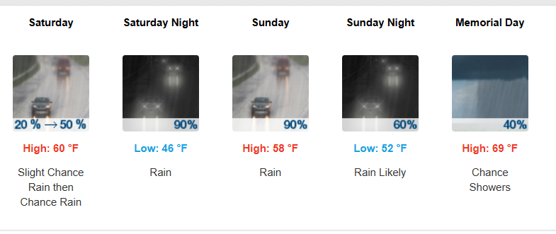
The weekend keeps looking better and better...
-
Rained until almost noon time here. Now raining again. Back down to 61 from a high of 63.
-
Nice soaker this morning. Temp down to 56.
-
Lots of thunder but no rain. Looks like the bulk of it will stay south of me. It is producing some very nice cooling breezes though. Inside the house was up to 85 earlier. #not-installed