metagraphica
-
Posts
2,213 -
Joined
-
Last visited
Content Type
Profiles
Blogs
Forums
American Weather
Media Demo
Store
Gallery
Everything posted by metagraphica
-
Radar is lookin' good.
-
Are we moving to Oklahoma?
-
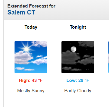
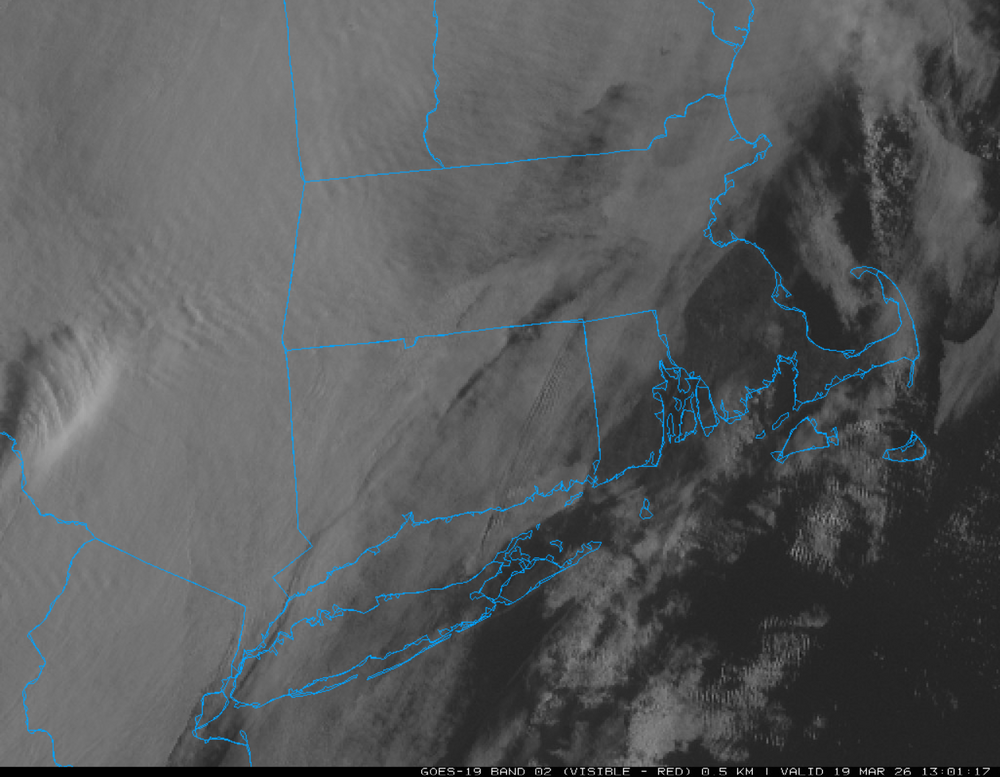
How do they get this so wrong so many times: With all these clouds moving in from the west. "Mostly Sunny", really???
-
The Great Filter. Coming soon to a civilization near you.
-
30 and overcast at 12:20pm is no way to run a Spring day. Fail.
-
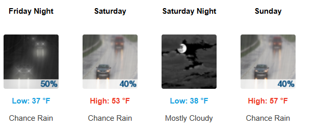
Looks like a lovely weekend shaping up.
-
cats n dogs.
-
No thunder as it came through SE CT. Got really foggy before that line came through. Still heavy fog.
-
Nice T-storm about to roll through.
-
And suddenly it's raining. Wasn't expecting any precip until after 10pm.
-
Yep, can't wait for next January.
-
40 for the low. Sunny and clear this AM. Almost had to install last night, woke up drenched in sweat.
-
Amazing difference between the hills and the valleys. 31 for a low here and 28 at IJD.
-
F00king beautiful outside. 63 and full sunshine. Thank god it's Spring.
-
Still cloudy here, but at least the temp is up to 54. Melting is beautiful.
-
Down to 41 off a high of 43. Rain.
-
I'm glad I filled the tank the Friday before the blizzard. Up to $4.39 a gallon here.
-
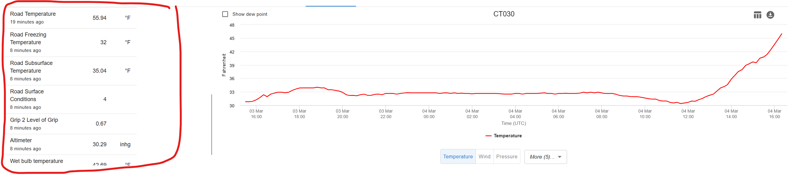
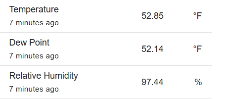
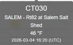
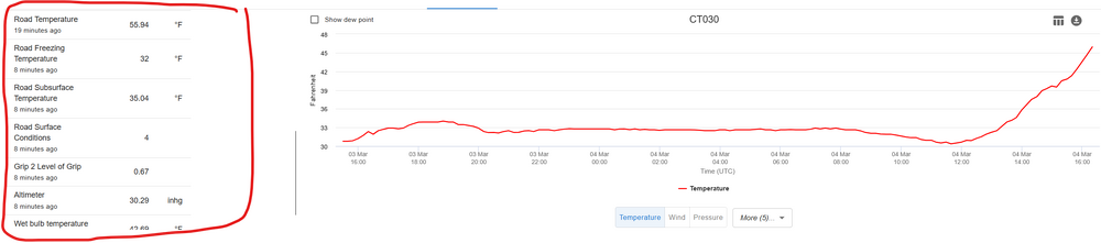
Always like to follow the Salem Salt Shed:
-
I was thinking Tip had taken over Ray's account and wrote this for him. Reads like one of Tip's diatribes against the annual springtime backdoor fronts.
-
Still raining and 33. Nice spring day.
-
Sleet for ~20 minutes or so. All rain now. 34.
-
No thank you.
-
Light snow. 33 degrees.
-
61.1" on the season including today.
-
Was 36 when it started snowing now down to 31. 0.3" Where's the 2" inches I was promised by "some"?