

Windspeed
-
Posts
4,156 -
Joined
-
Last visited
Content Type
Profiles
Blogs
Forums
American Weather
Media Demo
Store
Gallery
Posts posted by Windspeed
-
-
-
Yes. This is the Tor warned cell WNW of Memphis.Debris ball just passed Wynee
-
-
Right on cue...

-
 1
1
-
-
Nice video looking down upon the river and adjacent communities of Quelimane to give a small glimpse of the coastal geography there.
-
I'd imagine a pretty dire surge situation for low-lying coastal communities there. Non-stop onshore onslaught of flow and fetch in the southern semicircle of the cyclone must be driving water into the port and river estuaries around Quelimane.


-
Freddy is crawling into this latest landfall. Some modeling allows the cyclone to stall just inland only to re-emerge off the coast (again) with another period of reintensification. Need to go back over ACE numbers, but Freddy may have even surpassed Ioke for all-time highest now.

-
Yeah we did actually have some strong gusts associated with winds mixing down during the quasi-linear event. I am certain we had gusts around 50 mph. But I have to admit, the winds that came several hours after with partly cloudy skies were more impressive. No surprise that there were more outages that followed last night. Looks like counties up in Kentucky got it worse than Tennessee however.The wind 100% met MRX forecasts in western Sullivan County. The worst of the wind came after the storms.
-
1
-
-
We lost power a few times, but only briefly. Some outages lingering here and there, but fortunately, the event was rather tame around KTRI. Nothing tornadic. Probably had a few strong gusts around 50-60 mph near S. Holston River/Lake area that brought down some trees. Some strong gusts in southern and eastern portions of Sullivan Co. Hope everyone fared as well elsewhere.
-
1
-
-
SEL3
URGENT - IMMEDIATE BROADCAST REQUESTED
Tornado Watch Number 63
NWS Storm Prediction Center Norman OK
240 PM EST Fri Mar 3 2023
The NWS Storm Prediction Center has issued a
* Tornado Watch for portions of
North Georgia
Western North Carolina
Western South Carolina
Eastern Tennessee
Far southwest Virginia
* Effective this Friday afternoon and evening from 240 PM until
800 PM EST.
* Primary threats include...
A few tornadoes and a couple intense tornadoes possible
Scattered damaging winds likely with isolated significant gusts
to 75 mph possible
SUMMARY...A long-lived QLCS should continue to progress rapidly east
across the southern Appalachians vicinity through early evening.
Damaging winds and embedded tornadoes will be possible.
The tornado watch area is approximately along and 60 statute miles
east and west of a line from 35 miles north northeast of Bristol TN
to 30 miles southwest of Athens GA. For a complete depiction of the
watch see the associated watch outline update (WOUS64 KWNS WOU3).
PRECAUTIONARY/PREPAREDNESS ACTIONS...
REMEMBER...A Tornado Watch means conditions are favorable for
tornadoes and severe thunderstorms in and close to the watch
area. Persons in these areas should be on the lookout for
threatening weather conditions and listen for later statements
and possible warnings.
&&
OTHER WATCH INFORMATION...CONTINUE...WW 61...WW 62...
AVIATION...Tornadoes and a few severe thunderstorms with hail
surface and aloft to 1 inch. Extreme turbulence and surface wind
gusts to 65 knots. A few cumulonimbi with maximum tops to 450. Mean
storm motion vector 25050.
...Grams
-
1
-
-
SPC AC 031959
Day 1 Convective Outlook
NWS Storm Prediction Center Norman OK
0159 PM CST Fri Mar 03 2023
Valid 032000Z - 041200Z
...THERE IS AN ENHANCED RISK OF SEVERE THUNDERSTORMS FROM EASTERN
TENNESSEE INTO FAR WESTERN NORTH CAROLINA...AND NORTHERN GEORGIA...
...SUMMARY...
Tornadoes and scattered swaths of severe damaging winds are probable
into this evening from Ohio Valley towards the southern
Appalachians.
...20Z Update...
...OH Valley...
An intense mid-level cyclone continues to move northeastward through
the Lower OH Valley. Recent surface analysis placed the associated
surface low near EVV, and sampled substantial pressure falls
(greater than 8 mb over the last 2 hours) downstream across southern
Indiana. Surface analysis also revealed a very sharp warm front
extending eastward from the surface low to about 20 miles north of
LEX (in northern KY), and then more southeastward to about 20 miles
north of JKL. Given the strong mass response, some modest northward
progression of this front is still possible, despite widespread
cloud cover across the OH Valley.
Strong convective line currently ongoing near the surface low will
likely persist for at least the next few hours before the limited
buoyancy associated with the narrowing lead to weakening. However,
the surface low will continue to occlude, limiting downstream
moisture advection and likely keeping buoyancy very limited across
portions of eastern KY, southern OH, and western WV ahead of the
approaching dry slot. As such, the severe threat has decreased
enough to remove Enhanced probabilities.
...Eastern TN/Northern GA/East-Central AL...
As addressed in recently issued MCD #247, a fast-moving line of
storms will continue eastward in eastern TN, east-central AL, and
northern GA. Buoyancy with remain rather limited, due to
displacement from the cyclone. However, ascent along the front will
continue to promote thunderstorms amid the warm and moist air mass
over the region. Strong wind fields will continue to support the
threat for damaging wind gusts and embedded tornadoes.
..Mosier.. 03/03/2023
.PREV DISCUSSION... /ISSUED 1011 AM CST Fri Mar 03 2023/
...TN to OH Valleys and the central/southern Appalachians...
Two primary areas of convective activity are ongoing from MS/AL/TN
border area northwest to the confluence of the MS/OH Rivers. Leading
pre-frontal squall, low-topped near the central MS/AL border with
progressively deeper tops northward, will likely persist
east-northeast this afternoon and reach the southern Appalachians by
early evening. With broken cloudiness across AL and richer
boundary-layer moisture, sampled by the 12Z LIX sounding, advecting
north from the central Gulf Coast, this QLCS should ingest the
northern gradient of peak surface-based buoyancy. This should result
in intensification of the squall line with embedded QLCS tornadoes
and damaging winds as the primary hazards.
Farther north, broken convective bands are evident along the
northern periphery of the warm sector near the MS/OH Rivers
confluence, close to the deep surface cyclone. A robust surface
pressure rise-fall couplet and the extreme low to deep-layer shear
should compensate for the meager surface-based buoyancy and likely
yield a mix of low-topped supercells and quasi-linear bowing
segments, as convection rapidly spreads east-northeast. Tornadoes
should be realized in sustained supercells and line-embedded
mesovortices, a few of which could be significant. Given the
supercell wind profiles and morning CAMs suggesting more broken
convection, damaging winds will probably consist of scattered swaths
of severe gusts from 60-80 mph.
Severe potential today will be limited on the southern part by
weakening DCVA and frontal convergence with southward extent, on the
northern end by northward loss of boundary-layer destabilization
away from the warm-frontal zone, and to the east by loss of both
daytime heating and overall lift. As such, the unconditional
probability gradient is kept rather broad on both sides, though the
actual southern/northern/eastern cutoffs of severe could be abrupt.
CLICK TO GET WUUS01 PTSDY1 PRODUCT
NOTE: THE NEXT DAY 1 OUTLOOK IS SCHEDULED BY 0100Z
CURRENT UTC TIME: 2016Z (3:16PM), RELOAD THIS PAGE TO UPDATE THE TIME
-
1
-
-
Mesoscale Discussion 0247
NWS Storm Prediction Center Norman OK
0112 PM CST Fri Mar 03 2023
Areas affected...Eastern Tennessee into parts of northern Georgia
Concerning...Severe potential...Tornado Watch likely
Valid 031912Z - 032045Z
Probability of Watch Issuance...80 percent
SUMMARY...An additional watch will likely be needed for parts of
eastern Tennessee and northern Georgia. Despite weaker
thermodynamics, strong, veering low-level winds will support a risk
for damaging winds and brief tornadoes.
DISCUSSION...A fast moving line of storms will continue eastward
through Middle Tennessee and northern Alabama. Strong wind fields
continue to be sampled by regional VAD data. Some cloud cover has
kept temperatures a bit subdued, particularly in north Georgia.
Parts of eastern Tennessee have warmed into the mid 70s F. Between
cooler temperatures, decreased moisture, and warmer temperatures
aloft (especially with southward extent), the overall thermodynamic
environment will likely be weaker than areas to the west. However,
storm motion in addition to 50-70 kts within the boundary layer
would support a threat for damaging winds even with relatively weak
updrafts. Strong low-level shear would also promote some risk for
brief tornadoes within the line of storms. A watch for parts of this
region will likely be needed this afternoon.
..Wendt/Grams.. 03/03/2023
...Please see www.spc.noaa.gov for graphic product...
ATTN...WFO...GSP...MRX...FFC...
LAT...LON 34698479 35328439 36228371 36528303 36488267 36088257
35948260 34848317 33808397 33658427 33708460 34018494
34698479
-
2
-
-
-
SEL2
URGENT - IMMEDIATE BROADCAST REQUESTED
Tornado Watch Number 62
NWS Storm Prediction Center Norman OK
1210 PM EST Fri Mar 3 2023
The NWS Storm Prediction Center has issued a
* Tornado Watch for portions of
Far southeast Illinois
Southern Indiana
Kentucky
* Effective this Friday afternoon from 1210 PM until 500 PM EST.
* Primary threats include...
A few tornadoes likely with a couple intense tornadoes possible
Widespread damaging winds and isolated significant gusts to 85
mph likely
SUMMARY...Low-topped supercells embedded within broken line segments
will sweep east-northeast across the Lower Ohio Valley and Kentucky
through this afternoon. Tornadoes and damaging winds are the primary
hazards.
The tornado watch area is approximately along and 90 statute miles
east and west of a line from 25 miles north northwest of Louisville
KY to 65 miles east southeast of Bowling Green KY. For a complete
depiction of the watch see the associated watch outline update
(WOUS64 KWNS WOU2).
PRECAUTIONARY/PREPAREDNESS ACTIONS...
REMEMBER...A Tornado Watch means conditions are favorable for
tornadoes and severe thunderstorms in and close to the watch
area. Persons in these areas should be on the lookout for
threatening weather conditions and listen for later statements
and possible warnings.
&&
OTHER WATCH INFORMATION...CONTINUE...WW 60...WW 61...
AVIATION...Tornadoes and a few severe thunderstorms with hail
surface and aloft to 1 inch. Extreme turbulence and surface wind
gusts to 75 knots. A few cumulonimbi with maximum tops to 350. Mean
storm motion vector 24055.
...Grams
-
-
58 minutes ago, Runman292 said:Tornado watch for the rest of Middle TN into the western half of East TN until 5:00 PM EST
SEL1
URGENT - IMMEDIATE BROADCAST REQUESTED
Tornado Watch Number 61
NWS Storm Prediction Center Norman OK
1035 AM CST Fri Mar 3 2023The NWS Storm Prediction Center has issued a
* Tornado Watch for portions of
Northern Alabama
Northwest Georgia
Extreme southwest North Carolina
Eastern Tennessee* Effective this Friday morning and afternoon from 1035 AM until
400 PM CST.* Primary threats include...
A few tornadoes likely with a couple intense tornadoes possible
Scattered damaging winds likely with isolated significant gusts
to 80 mph possibleSUMMARY...Fast-moving QLCS will spread east-northeast from middle
Tennessee and northwest Alabama with damaging winds and embedded
tornadoes as the primary hazards.The tornado watch area is approximately along and 65 statute miles
east and west of a line from 45 miles north northeast of Crossville
TN to 25 miles south southwest of Anniston AL. For a complete
depiction of the watch see the associated watch outline update
(WOUS64 KWNS WOU1).PRECAUTIONARY/PREPAREDNESS ACTIONS...
REMEMBER...A Tornado Watch means conditions are favorable for
tornadoes and severe thunderstorms in and close to the watch
area. Persons in these areas should be on the lookout for
threatening weather conditions and listen for later statements
and possible warnings.&&
OTHER WATCH INFORMATION...CONTINUE...WW 60...
AVIATION...Tornadoes and a few severe thunderstorms with hail
surface and aloft to 1 inch. Extreme turbulence and surface wind
gusts to 70 knots. A few cumulonimbi with maximum tops to 450. Mean
storm motion vector 25050....Grams

-
 1
1
-
-
I think we should probably isolate a thread for this event. The ground is saturated. 55+ mph wind gusts alone are going to make for a very bad day for utility companies. But with potential strong storm modes plus strong LLJ, regardless of tornado potential, we're likely to see significant winds with this system mixing down to the surface. Widespread 65+ mph gusts seem quite possible, with numerous isolated 80+ mph winds. With such parameters in place, it wouldn't be much of a reach if the NPC upgrades to moderate for the Cumberland Plateau into Kentucky. Timing of cells and storm modes ironed out in the morning.
-
4
-
1
-
-
I am expecting a slow season for 2023. Anything active to hyperactive would really be unexpected. Though last year was a decline versus the decadal uptick in activity since 2016, we still had some strong long-trackers even if overall ACE was lower than previous seasons. This year, I believe a moderate El Nino will dominate the tropics and substropics. That being said, we could still have a couple of strong landfalls. And as has been repeated over and over again, it only takes one.
-
1
-
1
-
-
Gulf Stream SSTs vs very cold upper tropospheric temperatures at play here, which is fueling the convectively supportive instability for this hybrid system. The argument to be named operationally is warranted. I do believe it met requirements to be a subtropical cyclone. It may get reclassified as a nameless cyclone in reanalysis next year unless the NHC decides to jump on it overnight. The system should weaken tomorrow regardless.
-
1
-
-
KTRI could see an inch or so of accumulation. Sometimes these NW flow events can surprise and produce with enough lingering 700mb moisture in the Holston River Valley. That is if the EKY ranges and Clinch Mountain doesn't steal our bands. I'd imagine Holston Mountain, Shady Valley, Mountain City, Erwin and the Blue Ridge province areas like Roan Mountain, Boone, NC, etc. will get a 6+ thumping regardless. I don't think KTRI will get shut out, but I doubt anything more than an inch or two totals.
-
3
-
-
I think you can get a package for Radarscope for your Windows or Apple PC and your mobile platforms (Android or Apple OS).Not free, but GrLevel3 ($89.99) for PC and Radarscope ($9.99) for mobile are pretty much cream-of-the-crop when it comes to radar data.-
1
-
-
-
Best radar presentation yet. More symmetrical eyewall, though not fully closed ATM. The W to SW semicircle however is looking better organized and currently raking Grand Bahama, which should be ongoing for a while this afternoon with current motion.

-
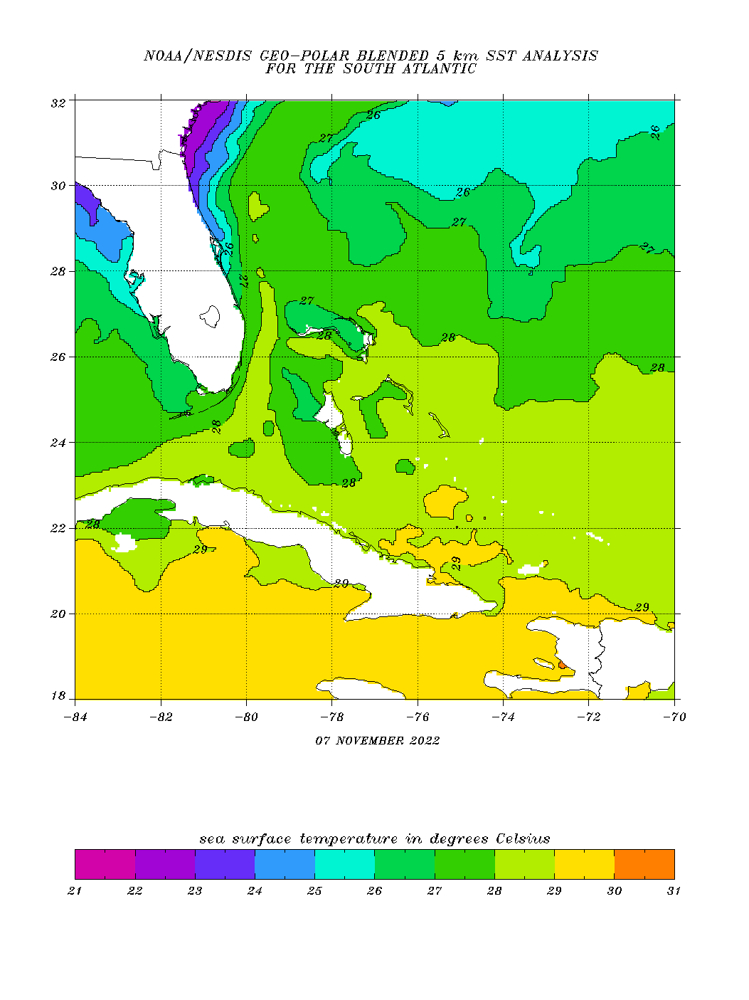
Good for discussion, but I think dry air entrainment was a bigger factor yesterday through this morning. Upper tropospheric temperatures are cooler therefore 26-27°C OHC can be quite sufficent for evaporate induced strong lapse rates to drive convection. We've seen strong late hurricanes in the middle of the Atlantic Basin over relatively moderate SSTs, even around the 26°C threshold as that threshold can drop several degrees based on upper environmental conditions. In other words, if Nicole can mix out the dry air, I do not think the moderate SSTs will be as big a deterrent for strengthening this evening. The Bahama landmasses are also not very big with respect to being a deterrent for strengthening as well. Perhaps for already intense hurricanes or stalled ones there, yes. But not one with a fairly decent relative forward motion. I do think Nicole will become a hurricane tonight despite the small interactions with land and the moderate SSTs if the core can be successful at mixing out the southerly fetch of a dry airmass. We shall see.There was a relatively cool eddy Nicole passed over yesterday evening - 26-27c isotherm. My thinking is this was a big contributor to rapid warming of the convection. And that’s been validated by the big changes today while atmospheric conditions are largely the same.
-
2
-

Severe Weather 3-30-23 and 3-31-23
in Central/Western States
Posted
Couplet coming for (TMEM) Memphis INTL Airport's Radar tower.
