cstrunk
-
Posts
612 -
Joined
-
Last visited
Content Type
Profiles
Blogs
Forums
American Weather
Media Demo
Store
Gallery
Everything posted by cstrunk
-
Texas/New Mexico/Louisiana/Mexico Obs And Discussion Thread Part 8
cstrunk replied to wxmx's topic in Central/Western States
Looks like the west trend of Laura's track has halted and the trend is starting slightly nudge back east. Landfall still expected around the TX/LA border, give or take. Still have a day or a little more to some slight changes but the track seems pretty consistent. If anything I wouldn't be surprised to see it end up east of the latest NHC track, depending on the intensity tomorrow. It's a weird feeling here for me in Longview, I was excited for the prospects of some severe weather but not necessarily prepared for the center of a hurricane to pass over us. We're in a Tropical Storm Warning now, but I'll be surprised if we have much, if any sustained wind over 40 mph. In fact, the forecast from NWS Shreveport is saying 20-30 mph winds with gusts to 45 mph. That seems more like a spring day in the plains, to me. (Except 45 mph gusts here could cause a few more power issues with falling limbs and such.) Any more east shifting with the track is also going to start to reduce the predicted 2-4" of rain totals at my location too. As of now I would be very thrilled with 2", but I'm starting to think it may end up more like 1" generally. Of course it will depend on where Laura's squalls end up and where the rainfall bands set up. But being on the west side is usually not the place for a ton of rain or wind. -
Texas/New Mexico/Louisiana/Mexico Obs And Discussion Thread Part 8
cstrunk replied to wxmx's topic in Central/Western States
Looks like it's about to get interesting around here with Laura popping into the GoM now... -
Texas/New Mexico/Louisiana/Mexico Obs And Discussion Thread Part 8
cstrunk replied to wxmx's topic in Central/Western States
Obviously not a lot to talk about. It's been dry here for a couple of weeks. Some area have been lucky. SW AR had 4"-8" the other day. The MCS's that have tried to build toward my area of the I-20 corridor in East Texas have fizzled. Finally seeing 100 degree temps. Cold front on Sunday/Monday looks to bump temps back into the low 90's with only a very slight chance of rain. Needless to say I've begun watering my lawn! -
Texas/New Mexico/Louisiana/Mexico Obs And Discussion Thread Part 8
cstrunk replied to wxmx's topic in Central/Western States
No rain last week and nothing in the forecast for this week. The real summer has finally arrived. Highs forecast in the upper 90's. Guess it's time to break out the sprinkler! -
Texas/New Mexico/Louisiana/Mexico Obs And Discussion Thread Part 8
cstrunk replied to wxmx's topic in Central/Western States
Storms later yesterday morning ahead of a July 31 cold front (say what??) brought about 1.05" of rain in about 30 minutes. Chances of rain for the next week look pretty slim with drier air moving into the region. -
Texas/New Mexico/Louisiana/Mexico Obs And Discussion Thread Part 8
cstrunk replied to wxmx's topic in Central/Western States
A couple showers last week added up to about 0.25" but yesterday I cashed in on 0.55" from a strong shower produced by the enhanced sea breeze from one of Hanna's outer bands. Another wave is headed this way this afternoon. -
Texas/New Mexico/Louisiana/Mexico Obs And Discussion Thread Part 8
cstrunk replied to wxmx's topic in Central/Western States
Monday through Tuesday (mostly overnight) I finally cashed in. I measured 3.25" in my rain gauge. Pretty crazy how wet we have been over the last week or so. I'm glad I finally got a really good rain since the Texas furnace is about to start crankin'. -
Texas/New Mexico/Louisiana/Mexico Obs And Discussion Thread Part 8
cstrunk replied to wxmx's topic in Central/Western States
Continuing the trend of getting just enough rain, but missing out on much bigger amounts. I got about 0.1" Friday evening and 0.75" early this morning. About 10 miles away NWS Shreveport noted a measurement of 6.43" from just this morning... -
Texas/New Mexico/Louisiana/Mexico Obs And Discussion Thread Part 8
cstrunk replied to wxmx's topic in Central/Western States
I ended up getting 0.7" in my rain gauge yesterday evening. Just narrowly missed much heavier downpours that would have given me double the amount or more, but I'll take it! The NWS forecast seems much more optimistic than the QPF predicted by WPC over the next few days. We have 40-50% rain chances each day through Friday, and then 30% chances Saturday and Sunday. WPC's graphics show dry conditions Friday-Sunday. -
Texas/New Mexico/Louisiana/Mexico Obs And Discussion Thread Part 8
cstrunk replied to wxmx's topic in Central/Western States
The DFW metro sure has been lucky with getting some really nice rains the last few days. Not so lucky here in Longview - yet. Chances of rain continue through the weekend. -
Texas/New Mexico/Louisiana/Mexico Obs And Discussion Thread Part 8
cstrunk replied to wxmx's topic in Central/Western States
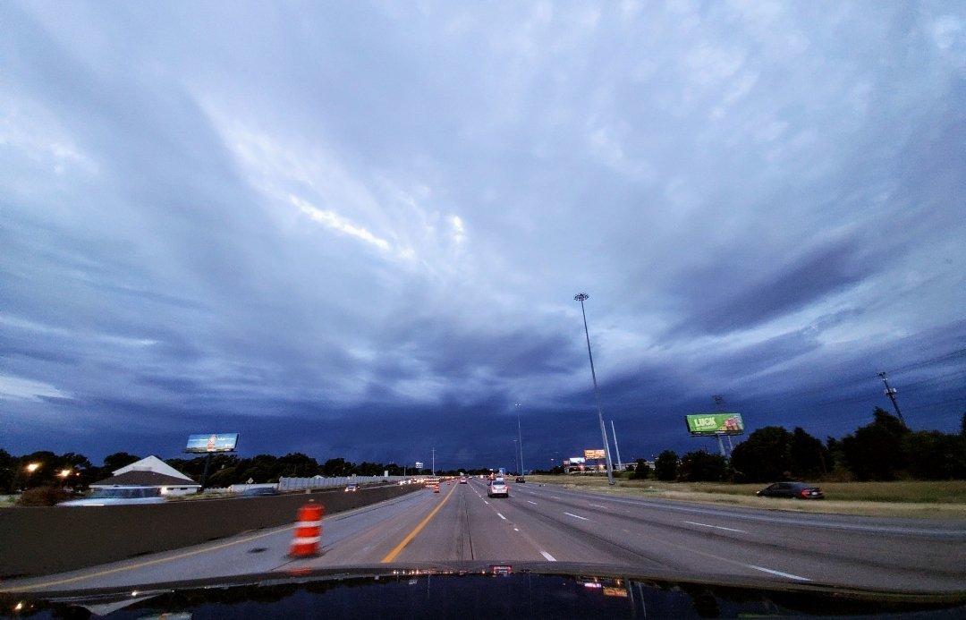
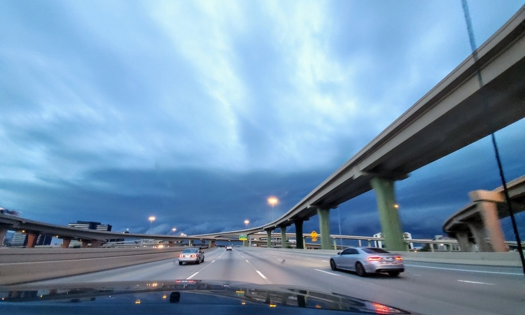
I got lucky on a few days ago and picked up 0.35" at my house, enough to avoid watering. The forecast for the next week looks favorable for rain as well. We drove to Fort Worth last night as the MCS was rolling in, it blew our Toyota around pretty good on 635.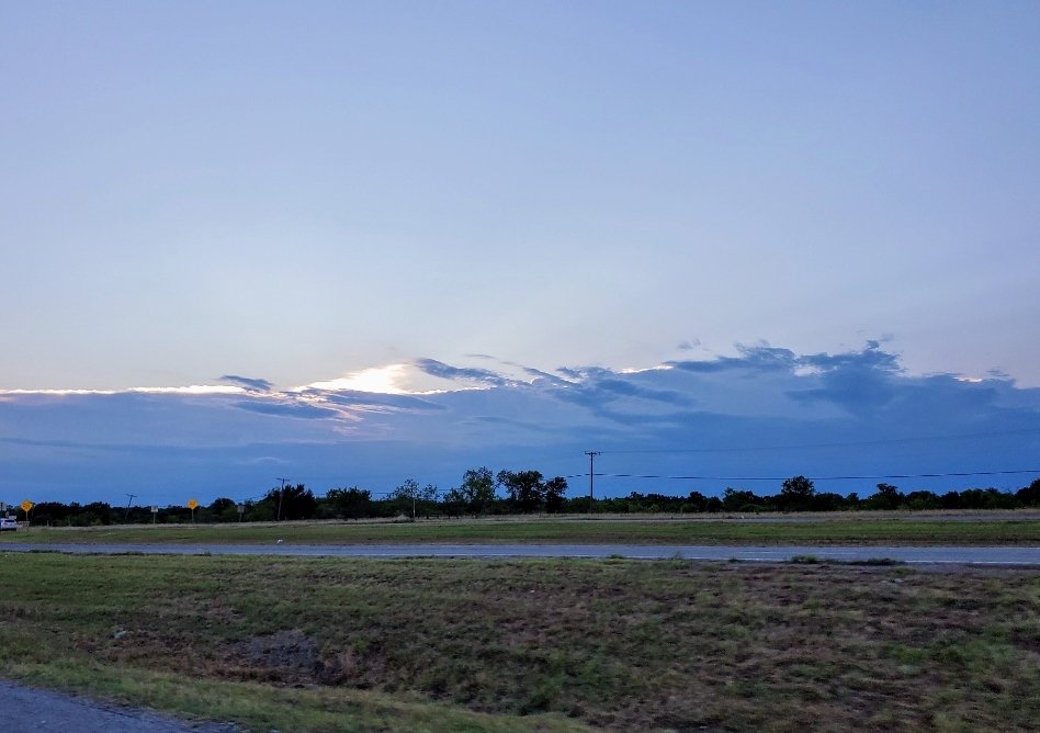
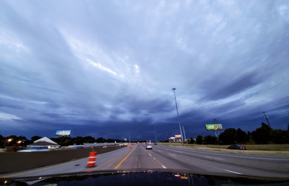
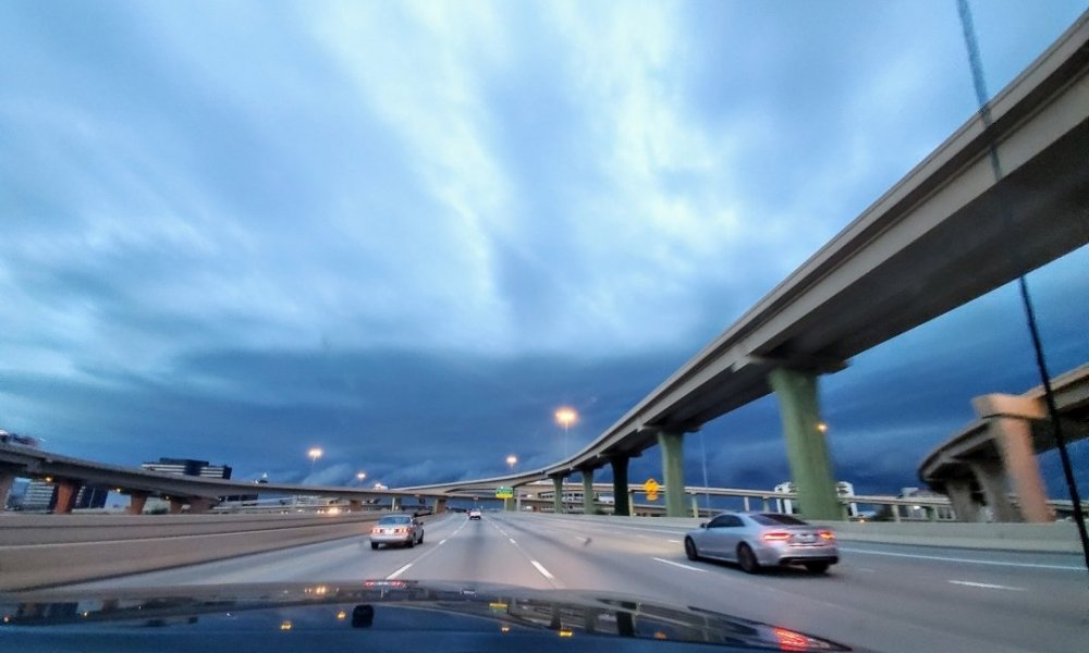
-
Texas/New Mexico/Louisiana/Mexico Obs And Discussion Thread Part 8
cstrunk replied to wxmx's topic in Central/Western States
Looks like the first real week of heat will be arriving in Texas next week with mid-90's in the forecast and dry conditions. We've been doing pretty well with receiving rain this spring in east Texas... but it looks like I'll have to start watering my lawn next week. -
Texas/New Mexico/Louisiana/Mexico Obs And Discussion Thread Part 8
cstrunk replied to wxmx's topic in Central/Western States
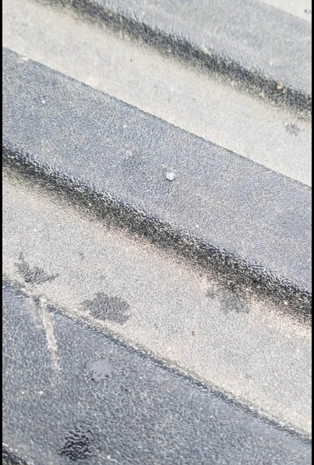
Had a couple pieces of graupel fall from the sky in Longview this morning. Air temp is 46F.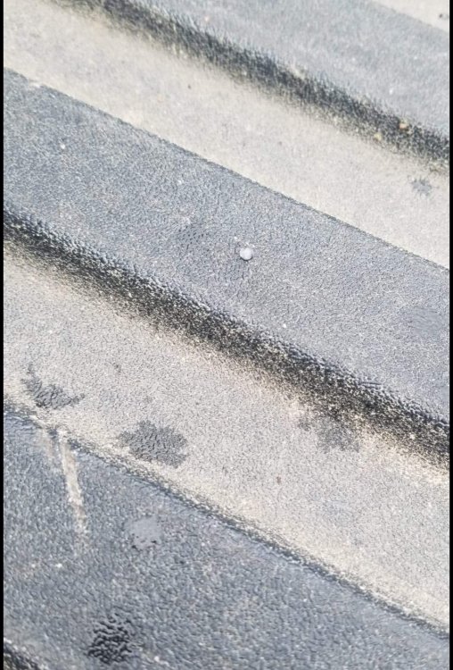
-
Texas/New Mexico/Louisiana/Mexico Obs And Discussion Thread Part 8
cstrunk replied to wxmx's topic in Central/Western States
Yeah it was. A good 20+ minutes of 50-60 mph gusts here. Knocked over the next door neighbor's fence. Also heard a tree fall a block north and partially land on a house, luckily it wasn't directly on it. -
Texas/New Mexico/Louisiana/Mexico Obs And Discussion Thread Part 8
cstrunk replied to wxmx's topic in Central/Western States
Day 3 Slight Risk for NE TX, N LA, S AR, and W MS. Mentions after dark tornadic potential with strengthening LLJ.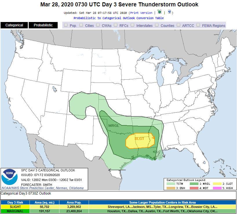
-
Texas/New Mexico/Louisiana/Mexico Obs And Discussion Thread Part 8
cstrunk replied to wxmx's topic in Central/Western States
Models are showing a pretty good severe/tornado threat this afternoon/evening in extreme SE New Mexico and SW Texas. -
Texas/New Mexico/Louisiana/Mexico Obs And Discussion Thread Part 8
cstrunk replied to wxmx's topic in Central/Western States
Measured another 2.5" at my house from yesterday's and last night's rain. My yard is a bit swampy. -
Texas/New Mexico/Louisiana/Mexico Obs And Discussion Thread Part 8
cstrunk replied to wxmx's topic in Central/Western States
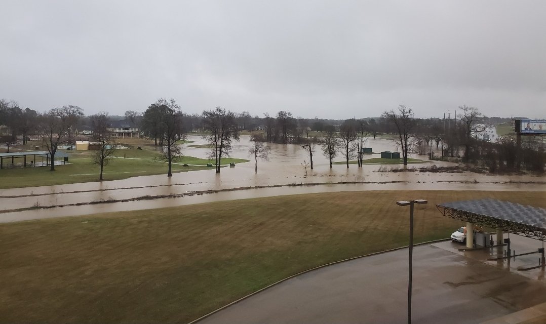
I had another 0.7" Wednesday during the day, putting my 3 day total at about 8". The golf course next to my office had a wee bit of water in it.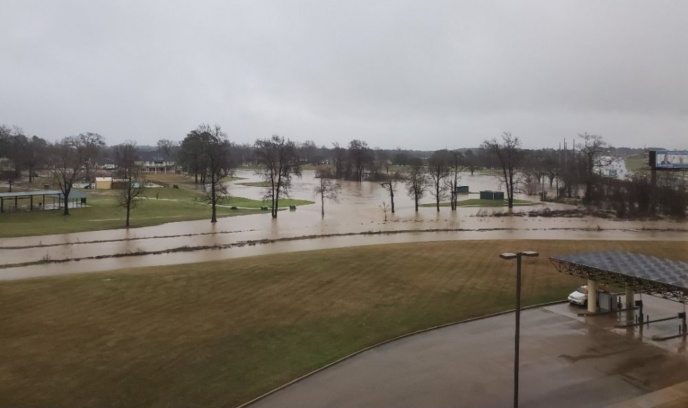
-
Texas/New Mexico/Louisiana/Mexico Obs And Discussion Thread Part 8
cstrunk replied to wxmx's topic in Central/Western States
I measured 4.1" of rain from yesterday through 7 AM this morning. Combined with 3.2" from earlier this week puts me at 7.3" for the week. -
Texas/New Mexico/Louisiana/Mexico Obs And Discussion Thread Part 8
cstrunk replied to wxmx's topic in Central/Western States
I had 2.6" of rain IMBY earlier this morning. More heavy rain expected through Wednesday. *Update: 3.2" total for the day through 7 pm. -
Texas/New Mexico/Louisiana/Mexico Obs And Discussion Thread Part 8
cstrunk replied to wxmx's topic in Central/Western States
North Central TX might see some interesting storms later this afternoon.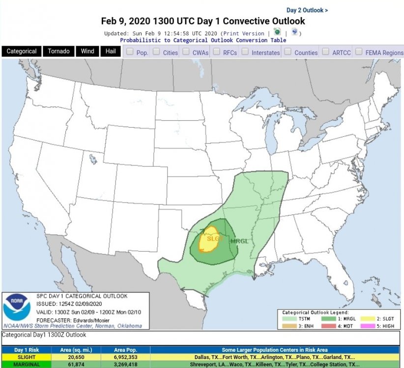
-
Texas/New Mexico/Louisiana/Mexico Obs And Discussion Thread Part 8
cstrunk replied to wxmx's topic in Central/Western States
Maybe we'll get lucky but it sounds like we'll just get lots of cold rain... -
Texas/New Mexico/Louisiana/Mexico Obs And Discussion Thread Part 8
cstrunk replied to wxmx's topic in Central/Western States
So much junk... moderate risk what?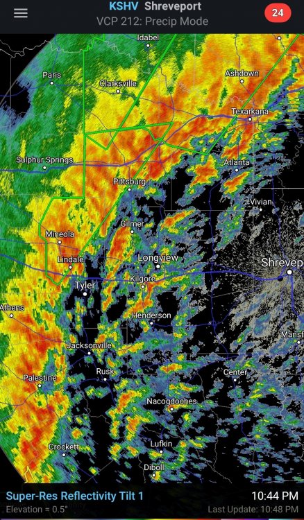
-
Texas/New Mexico/Louisiana/Mexico Obs And Discussion Thread Part 8
cstrunk replied to wxmx's topic in Central/Western States
The GFS has been advertising some kind of ice/sleet/snow event for western/central/northeast TX in the January 15-17th range mid-late next week. -
Texas/New Mexico/Louisiana/Mexico Obs And Discussion Thread Part 8
cstrunk replied to wxmx's topic in Central/Western States
Brrrr. I'm surprised it's this cold already and it's not even officially winter.