

Met1985
-
Posts
16,911 -
Joined
-
Last visited
Content Type
Profiles
Blogs
Forums
American Weather
Media Demo
Store
Gallery
Everything posted by Met1985
-
A current morning low of 52 degrees in mid June! Absolutely stunning.
-
Temp down to 62 degrees already.
-
What a spectacular day today with a high of 73 today.
-
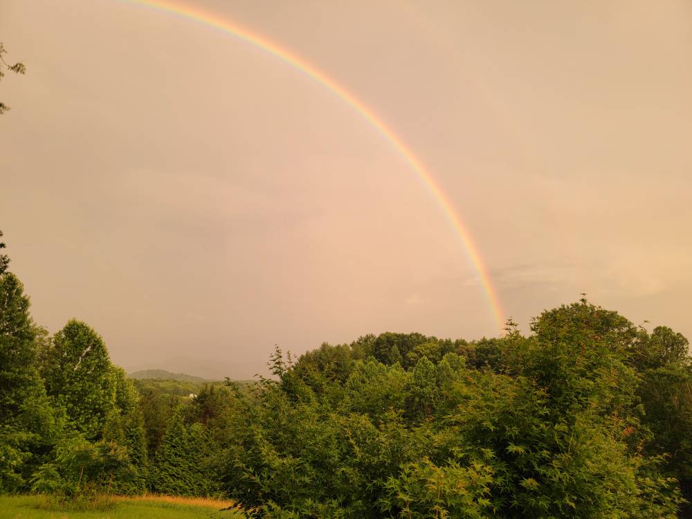
A spectacular rainbow this evening. Sent from my SM-G998U using Tapatalk

-
Looks like more rain coming in from the West.
-
We had all the severe storms here in the west. I had some pea size hail with torrential rainfall yesterday.
-
Yeah it kind of redeveloped in West Asheville. It absolutely put the rain down here.
-
Looks like Hendersonville is fixing to get smacked.
-
Getting some pea size hail and torrential rainfall. Sent from my SM-G998U using Tapatalk
-
It's an isolated storm but getting absolutely hammered this afternoon.
-
Low of 45 this morning. Man this weather is fabulous.
-
Temp down to a beautiful 43 degrees currently.
-
Temp down to 53 baby!
-
More rain this evening with a current temp of 56 degrees already.
-
Today's high was 61 and we will be going down to the 40s tonight!
-
For this to be a dry period we are still getting rain everyday.
-
Moderate to heavy rainfall finally coming down here. Temp a balmy 64 degrees.
-
The op Euro has been going back and forth about every model run. From what im seeing things should pick back up in about a week.
-
Looks like some more rain coming in this evening.
-
El Nino is starting up.
-
No, no, no, you wanted rain you're going to get a lot of it.
-
Yeah I read that Mt. Washington was expected to get 9 inches of snow from this thing.
-
These storms aren't moving so if you get underneath one you could see some flash flooding.
-
Heavy rain and storms tonight.
-
More rainfall on the way.


