

Met1985
-
Posts
16,913 -
Joined
-
Last visited
Content Type
Profiles
Blogs
Forums
American Weather
Media Demo
Store
Gallery
Everything posted by Met1985
-
On and off showers with a temp of 67.
-
A beautiful evening with a current temp of 64 degrees. Today has been a perfect weather day.
-
This weather has me really craving for Fall weather.
-
What a picture perfect day. High temp of 74 under mostly sunny skies for the first of August is an absolute treat.
-
Yep was right there with you at 58 this morning. Was a beautiful night. Looking ahead looks like we have a string of 70s for highs coming up.
-
Had over an inch of rainfall from storms yesterday. Had high winds with trees down around the area. Lost power for a bit and had some torrential rainfall.
-
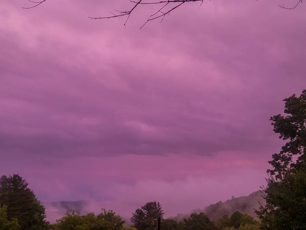
These storms are making for some beautiful cloud formations. Sent from my SM-G998U using Tapatalk
-
No kidding! Some big time squalls coming through.
-
Storms are firing around the area again this afternoon.
-
Take a look at this. Just a bit cold. https://www.weatherzone.com.au/news/concordia-antarctica-hits-827c-worlds-provisional-lowest-temperature-since-2019/1407455
-
Get some rain from a rogue storm from the south.
-
9 pm with a temp of 63. An absolutely perfect evening.
-
Yeah I had rain yesterday evening and already a shower today as well.
-
Only calling for a high of 72 tomorrow. That is unreal for the end of July.
-
Crazy how we've had a ton of rainfall in the mountains here this summer. Yeah we've had dry periods but for the most part we've had a couple of inches each week.
-
The rain makes for a beautiful evening. Sent from my SM-G998U using Tapatalk
-
Yeah seems like 40 south has gotten the brunt if the rain. Still pouring here.
-
Heavy to moderate rain all late afternoon and evening. Getting a ton of rainfall today. Should end up with 2 to 3 inches.
-
Just left south Asheville and things had started to dry up but getting into Haywood and its a steady rainfall. Have over an inch of rainfall already with more coming in and oh the temp is 63 degrees with a high of 65 for the day.
-
Big time boomers rolling in.
-
All kinds of storms blowing up.
-
Buncombe getting rocked currently. It's like those three cells converged.
-
This weekend looks like weather from September. Highs in the 70s and lows in the low to mid 50s probably in the higher elevations. Also looks like this heat dome with retrograde back into predominantly to SW.
-
Storms are starting to pop across the area currently.
-
That's a big surprise this morning.


