Met1985
-
Posts
16,866 -
Joined
-
Last visited
Content Type
Profiles
Blogs
Forums
American Weather
Media Demo
Store
Gallery
Everything posted by Met1985
-

2023-2024 Fall/Winter Mountain Thread
Met1985 replied to The Alchemist's topic in Southeastern States
Impressive line coming through. Sent from my SM-G998U using Tapatalk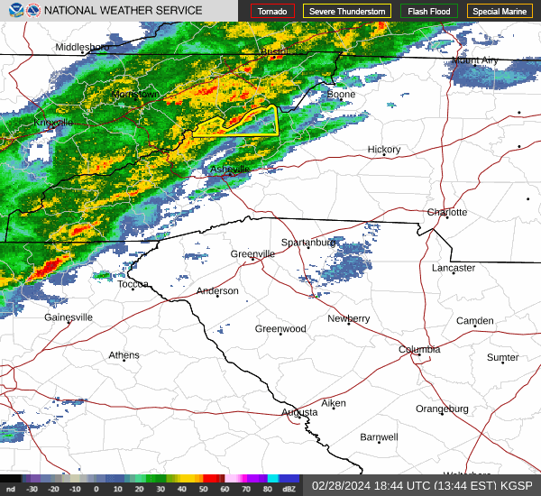
-
Oh yeah for sure and I know. You're right the past 9 years have been extremely frustrating with snowfall. All along we are seeing a huge surge in snowpack out west. Literally they are calling for 8 to 12 feet out there this weekend. Maybe things will end up balancing out. I know I know. We are moving the goal posts as it is to climate and ever changing weather patterns.
-
2023-2024 Fall/Winter Mountain Thread
Met1985 replied to The Alchemist's topic in Southeastern States
Crazy! Including the cities of Glenbrook, Incline Village, Truckee, Stateline, South Lake Tahoe, Markleeville, and Tahoe City 1218 PM PST Tue Feb 27 2024 ...BLIZZARD WARNING IN EFFECT FROM 10 AM THURSDAY TO 10 AM PST SUNDAY... * WHAT...Blizzard conditions likely, particularly from Friday evening through Saturday morning. Snow accumulations between 2 and 4 feet for Lake Tahoe communities, with 4 to 8 feet above 7000 feet. Winds gusting to 60 mph in lower elevations and above 100 mph over Sierra ridges. * WHERE...Greater Lake Tahoe Area. -
A lot of question marks and not good answers for snow lovers. Our climate is changing for the worse. With all the warming a lot of us may never see big snows again.
-
2023-2024 Fall/Winter Mountain Thread
Met1985 replied to The Alchemist's topic in Southeastern States
Yep tomorrow night looks like we could see a few flakes then we could see a start of a mix to rain. Sent from my SM-G998U using Tapatalk
-
2023-2024 Fall/Winter Mountain Thread
Met1985 replied to The Alchemist's topic in Southeastern States
Yeah I've been reading a ton on how all the lakes and reservoirs are at or near normal again which is amazing considering the absolute horrific drought they were in for several years. I read earlier this year that new rainfall wouldn't make a difference but wow has it. -
This would be an amazing case study dealing with the weather pattern and the heat exchange from the ocean in that area to other areas. Very interesting for sure but what do you do?
-
2023-2024 Fall/Winter Mountain Thread
Met1985 replied to The Alchemist's topic in Southeastern States
Yeah no kidding! All up and down the Mountain West. Man that house in Aspen is looking better and better. -
2023-2024 Fall/Winter Mountain Thread
Met1985 replied to The Alchemist's topic in Southeastern States
The next two weeks are going to be insane out there. -
I have zero faith in the weeklies. I'm not sure what to believe other than we just had a minor SSW and we are going to have a strong one in a couple days. This pattern will break just in time for Spring to be delayed. My opinion this winter we saw more of a NINA pattern than anything else.
-
2023-2024 Fall/Winter Mountain Thread
Met1985 replied to The Alchemist's topic in Southeastern States
Had a low of 16 this morning. That's respectable for the end of February. Looks like all of a sudden we may have multiple chances of some winter weather on our way. -
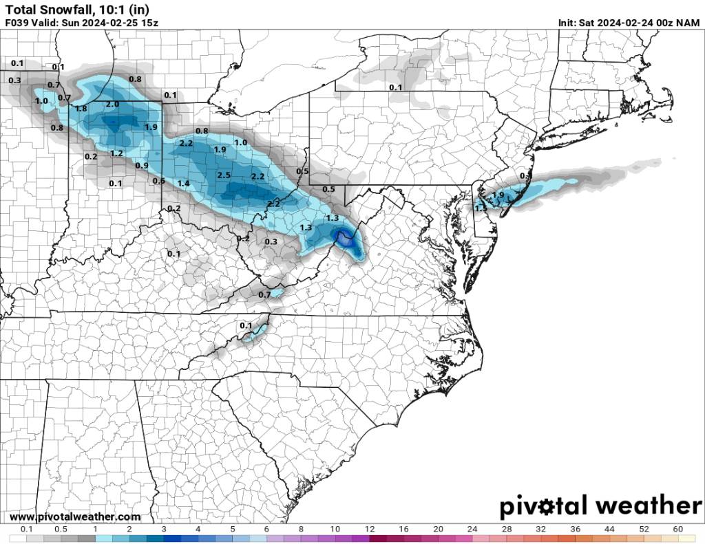
2023-2024 Fall/Winter Mountain Thread
Met1985 replied to The Alchemist's topic in Southeastern States
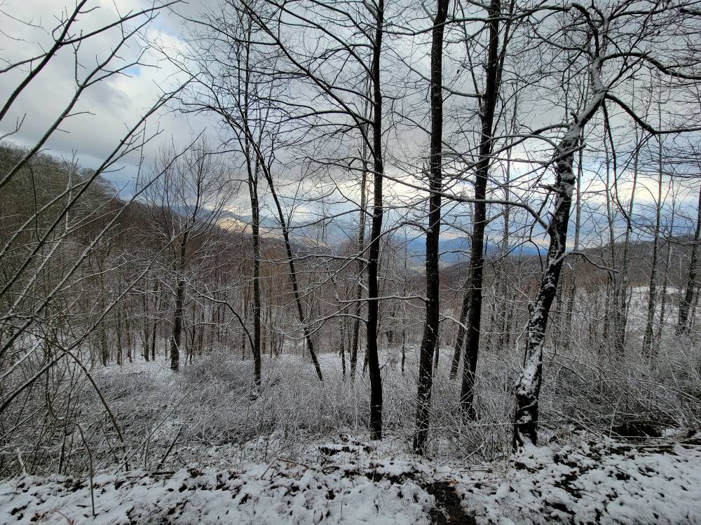
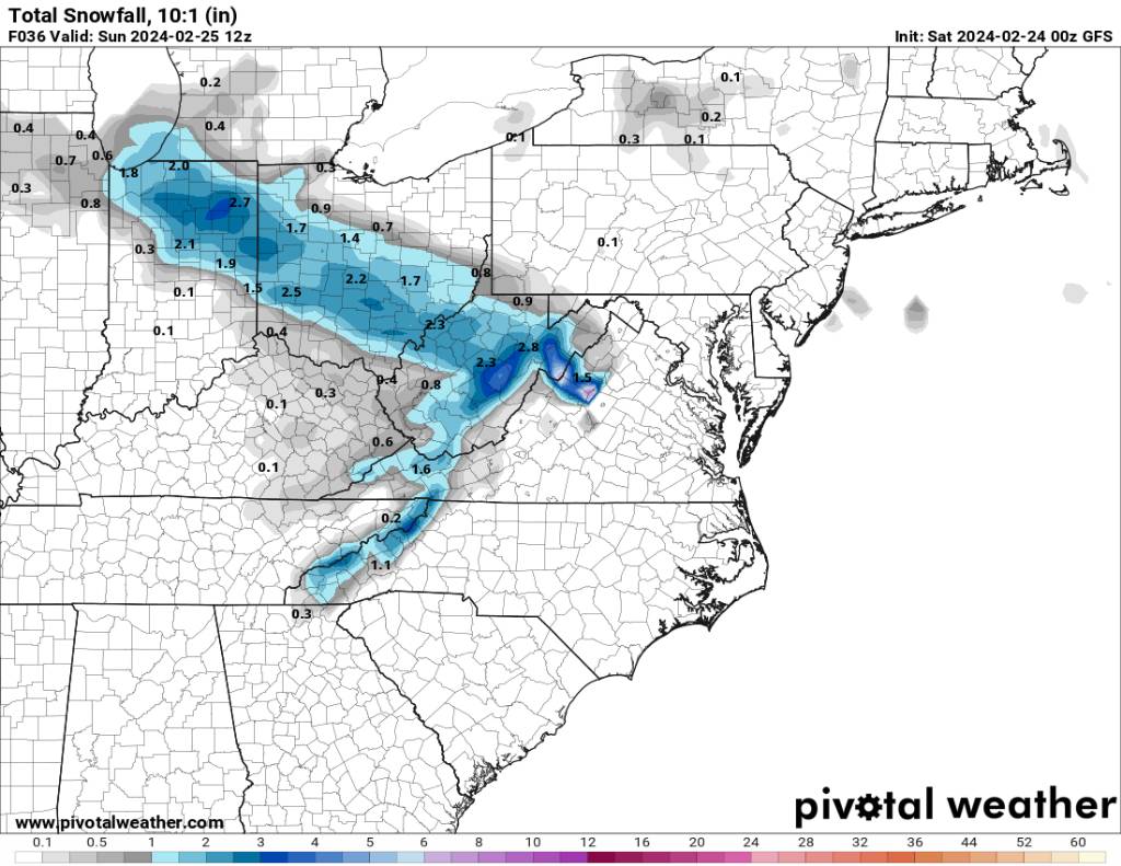
Something to possibly track. Sent from my SM-G998U using Tapatalk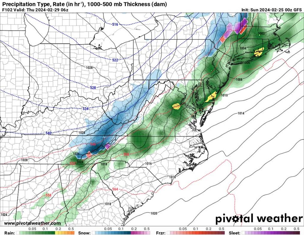
.thumb.jpg.bc7712da14be895a81c6b83f80443742.jpg)
.thumb.jpg.d675387383393990a906696f2fae9d05.jpg)
.thumb.jpg.ca876f3f57ac200283e9ab9f32819894.jpg)
.thumb.jpg.19e5ba428bccd594cf0f216034745fbe.jpg)
-
2023-2024 Fall/Winter Mountain Thread
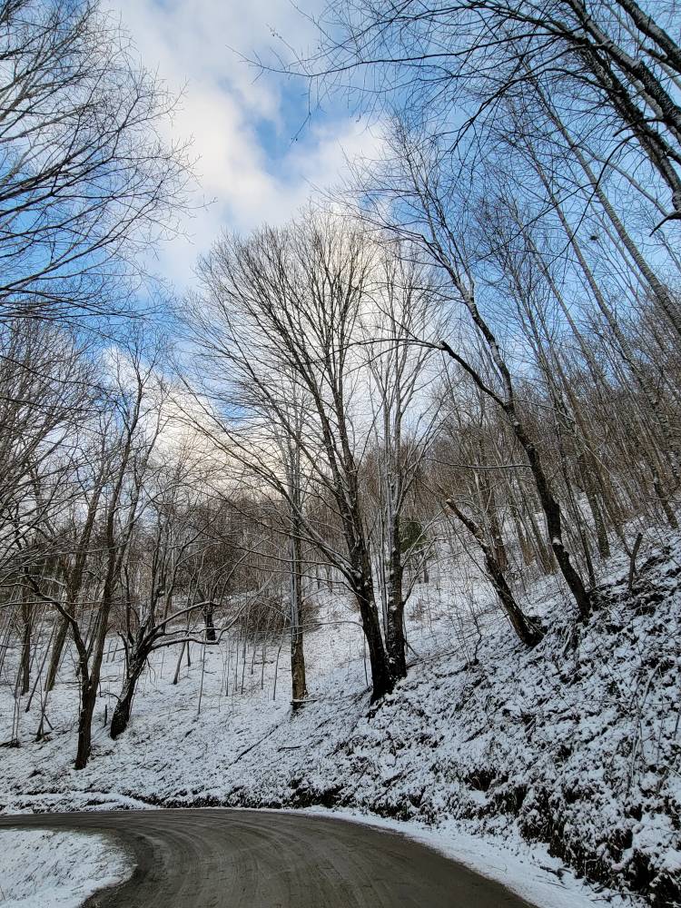
Met1985 replied to The Alchemist's topic in Southeastern States
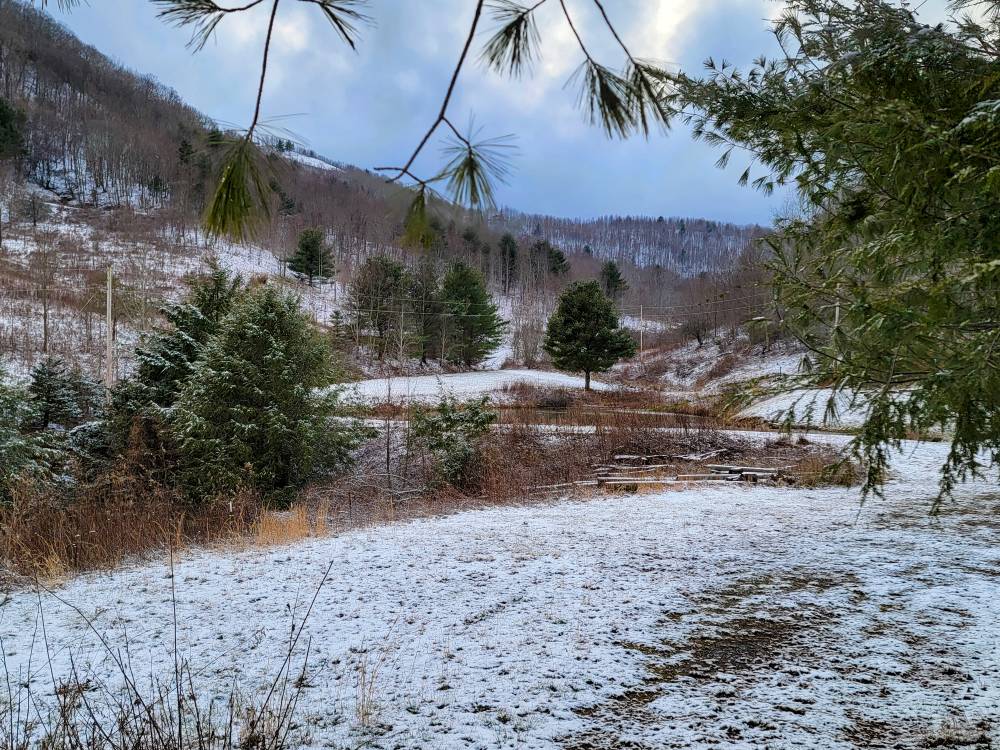
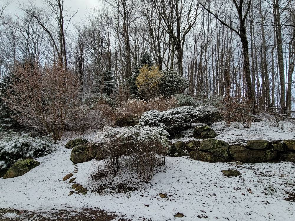
Some more pics. Sent from my SM-G998U using Tapatalk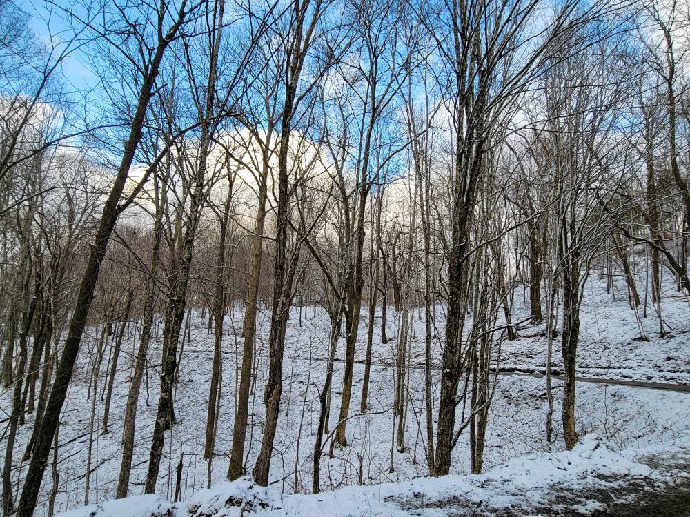

-
2023-2024 Fall/Winter Mountain Thread
Met1985 replied to The Alchemist's topic in Southeastern States
Nice! Enjoy the small things in life lol. -
2023-2024 Fall/Winter Mountain Thread
Met1985 replied to The Alchemist's topic in Southeastern States
Temps were marginal whenever we had the moisture..not much at the house. You have to get above 4k feet for there to be snow on the ground. Sent from my SM-G998U using Tapatalk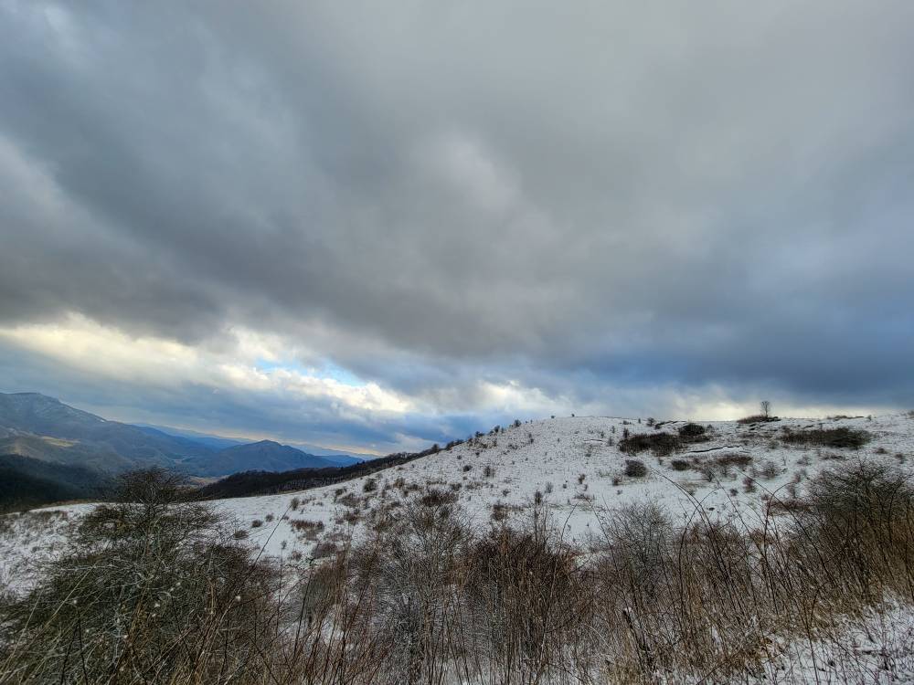
-
Very interesting. Thanks for posting.
- 750 replies
-
- 1
-

-
- snow elk
- wooly worm
- (and 1 more)
-
2023-2024 Fall/Winter Mountain Thread
Met1985 replied to The Alchemist's topic in Southeastern States
I do. I just try to be optimistic about things. If you read a lot of the forums it's depressing and really just makes someone not want to post here. So I try to balance things out with a little optimism. -
2023-2024 Fall/Winter Mountain Thread
Met1985 replied to The Alchemist's topic in Southeastern States
Gfs still looks good. Sent from my SM-G998U using Tapatalk
-
2023-2024 Fall/Winter Mountain Thread
Met1985 replied to The Alchemist's topic in Southeastern States
Looks like the models are taking this more north. We shall see. -
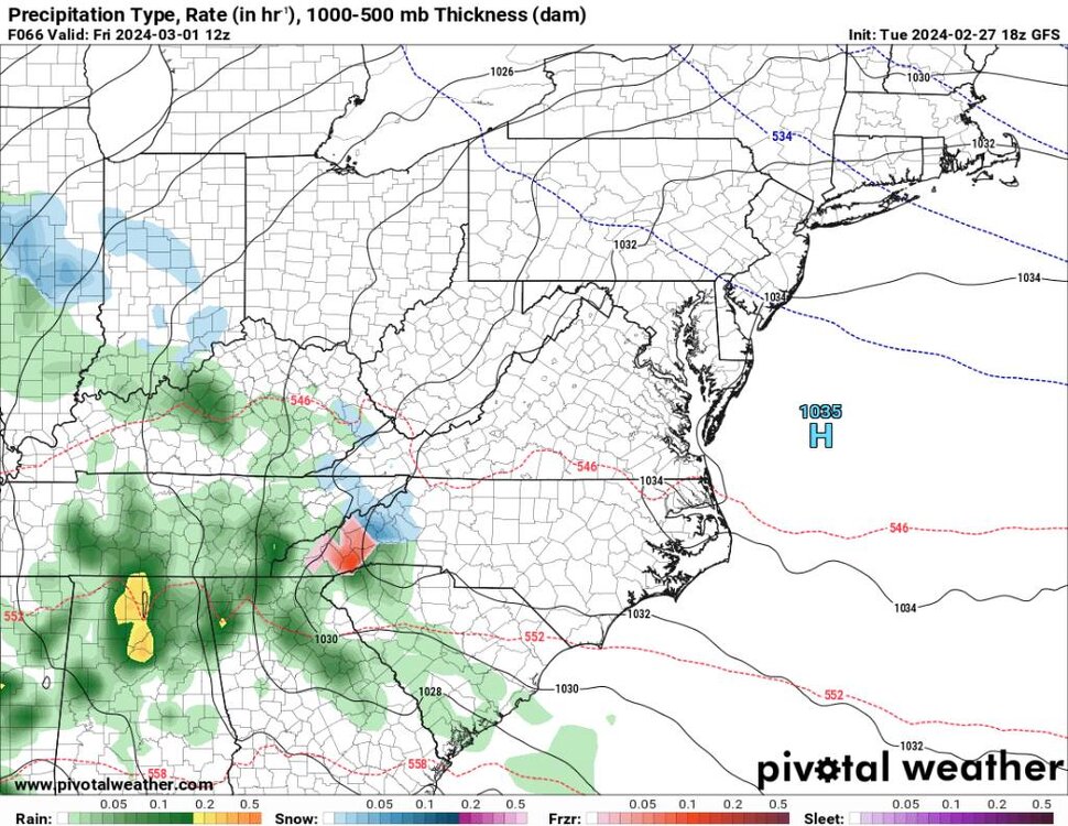
2023-2024 Fall/Winter Mountain Thread
Met1985 replied to The Alchemist's topic in Southeastern States
3k NAM. Sent from my SM-G998U using Tapatalk.thumb.jpg.f98b2f7d95d97e71ae6c7aec6d14e5c8.jpg)
-
2023-2024 Fall/Winter Mountain Thread
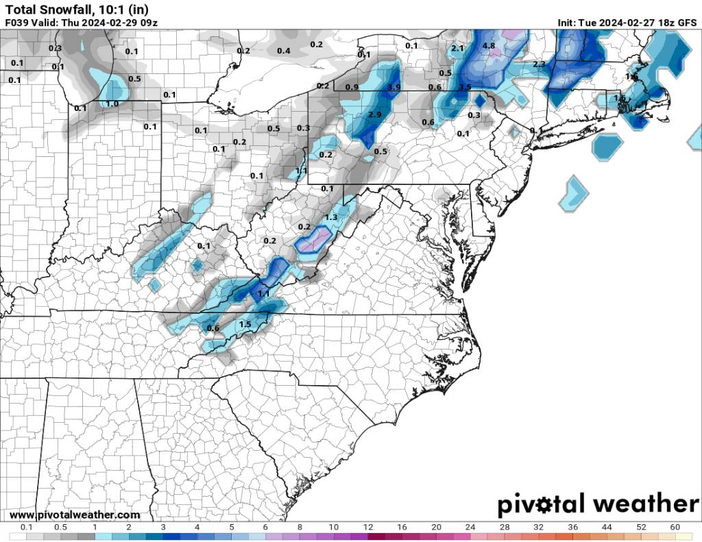
Met1985 replied to The Alchemist's topic in Southeastern States
00z HRRR has dried up. Sent from my SM-G998U using Tapatalk.thumb.jpg.2b88f321bf0ee95b46131808f2f0fb09.jpg)
-
2023-2024 Fall/Winter Mountain Thread
Met1985 replied to The Alchemist's topic in Southeastern States
00z NAM looks putrid. Sent from my SM-G998U using Tapatalk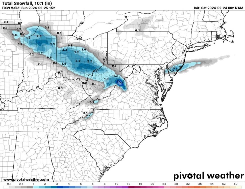
-
2023-2024 Fall/Winter Mountain Thread
Met1985 replied to The Alchemist's topic in Southeastern States
Mostly clear with a temp of 38. Looks like the fun begins tomorrow morning. -
2023-2024 Fall/Winter Mountain Thread
Met1985 replied to The Alchemist's topic in Southeastern States
Upslope is so hard to forecast here. Gfs has looked and been steady. It's all about forcing with these things. Still doesn't help this has trended north a bit. -
Springs already here! Screw the countdown. When we headed to the beach.


.jpg.19bfc0e9052331f600e12bed1ef58bfc.jpg)
.jpg.373f5c1385be5e003cb278fbf3d62242.jpg)
.jpg.5d95f80fb5f630d1d9072d3eac459423.jpg)
.jpg.9bb1501132f6259d9a13850d53cc100f.jpg)

.jpg.54b8202d9782e3ba0a188de13931738f.jpg)
.jpg.63044d8d2d35e7d08cfd5c567691f06c.jpg)