HighStakes
-
Posts
4,528 -
Joined
-
Last visited
Content Type
Profiles
Blogs
Forums
American Weather
Media Demo
Store
Gallery
Everything posted by HighStakes
-
It would be huge for us. Almost 1.4 qpf. by 18z. No mixing issues here til after that.
-
Just dropped to 6.
-
Definitely like seeing no sharp cutoff. Good snows make well north of us.
-
Another Arctic plunge day 10.
-
It just became a long duration 36 hour storm. Wth!
-
We definitely had sleet mix in for awhile in Reisterstown during the lull Sunday evening before getting the backside.
-
Yup, they clearly were the best team this year and deserved to win it all.
-
Nothing like a 2000 mile wide swath of precip.
-
Only 84 hours until Watches are issued.
-
The FB civilians for sure will chime in with their moronic thoughts.
-
We all are well overdue. Very encouraging to see even the latest GFS run get accumulating well into central PA. Should be a great week of tracking. It's time to be greedy lol. Hopefully we're tracking the next threat as we're watching the AFC/NFC Championship games and snow falling on Sunday
-
That's easily 15:1 if not 20:1 up here. We always do well with ratios here when the set up supports it.
-
Enjoy the 50 degree day on Thursday! 18Z Euro has it at 2 degrees here Saturday morning and never gets above 13 during the snow when the run ends Sunday afternoon.
-
If this threat doesn't materialize in some capacity the letdown will be more excruciating than last February.
-
I'm fine with NC/VA border and southern VA being shown with the high totals. That almost never verifies unless the storm is suppressed and slide under us. A miss to the south is possible but not all that concerning at the moment. If significant accumulations make it well into PA it is highly likely that areas to the south are experiencing heavy sleet and zr even with a strong HP. This type of storm will almost end up with the bullseye somewhere in the northern Mid-Atlantic. We've seen the GFS remain very stubborn with these type of set ups. Maybe it comes around sooner than later but also may not get on board until late Thursday/Friday. Wrong Thread. lol
-
Yes! 12Z Euro has northern MD dropping below 20 degrees Friday afternoon and not getting above 20 degrees until sometime the following Wednesday which is over 120 hours. We've had many strong shots of cold but many times they're in and out and rarely sustained. This appears to be different.
-
@psuhoffman So close yet so far away!
-
Moderate snow and 27.

-
I measured a bit under 4 here in Manchester. Wasn't expecting more than a coating to an inch as late as the first flakes. Manchester was the extreme northern edge of the decent snows. I live approximately 3 miles from PA line and it tapered to around 2 inches there so I would concur that Hanover was 1-2 at best. Oddly though was Westminster that had a good 6 inches. Must have maxed out on the northern band.
-
1/17: 1.5 1/18: 1.5 Total: 8.5
-
That's the way I see it as well. We should have a few windows into February too. I think most areas will make a run at average totals when it's all said and done.
-
My house faces due south so any light event melts off unless it's extremely cold. I don't mind as I almost never have to shovel the driveway for a light or even sometimes moderate event. Lol These small events are better than nothing. Keep em coming.
-
We're just entering peak climo and there is a lot to be encouraged about as long as expectations are reasonable.
-
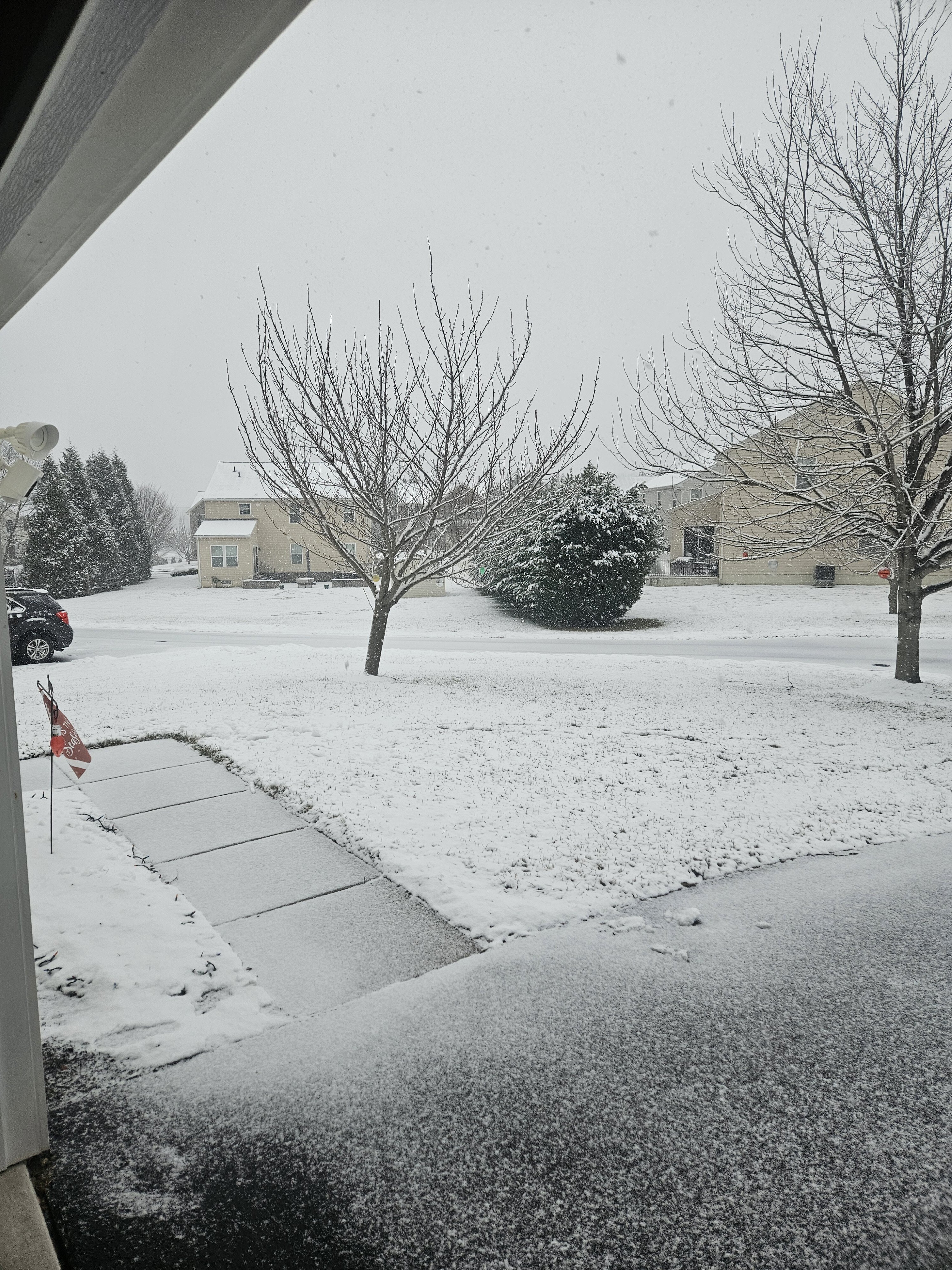
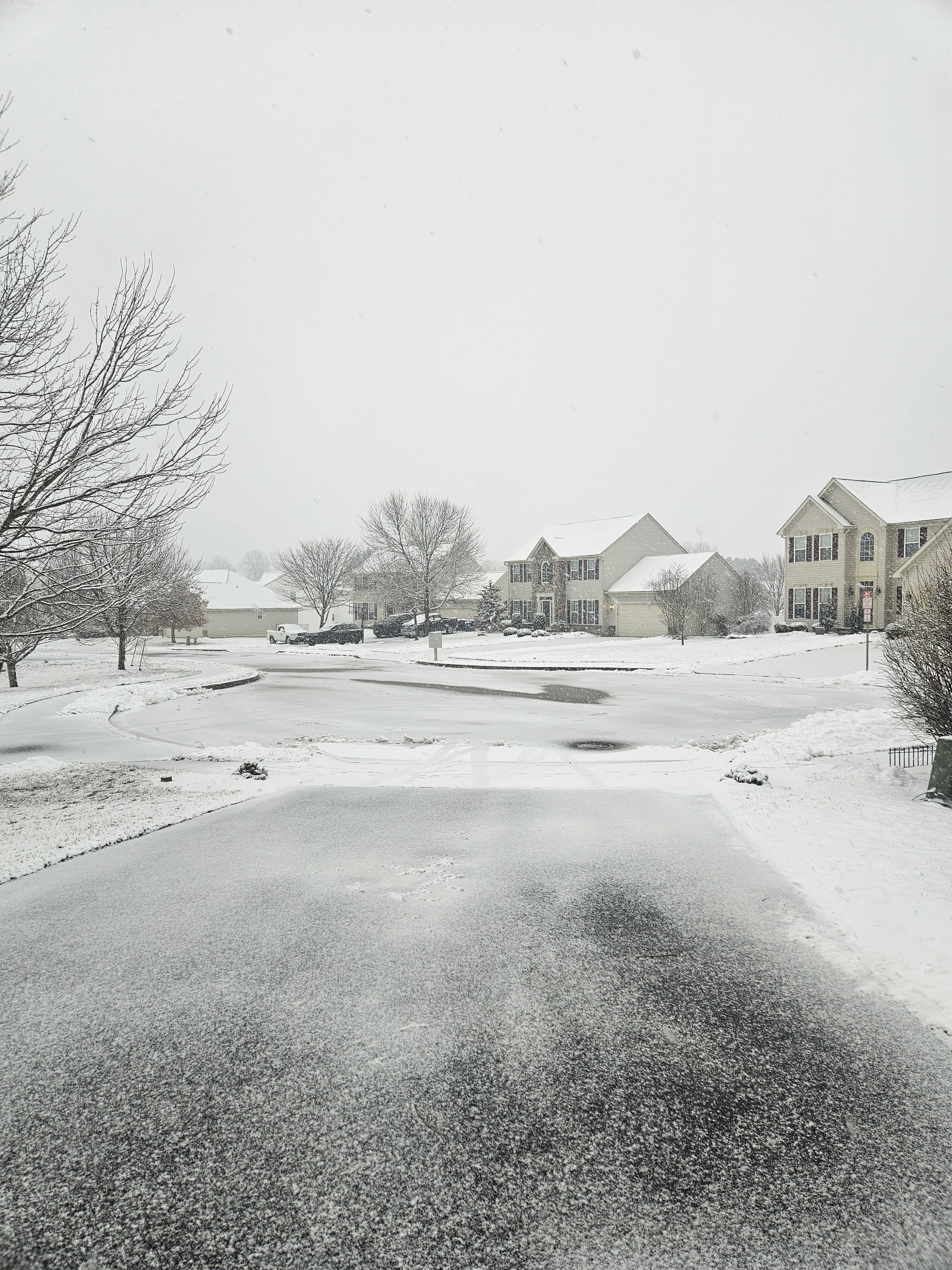
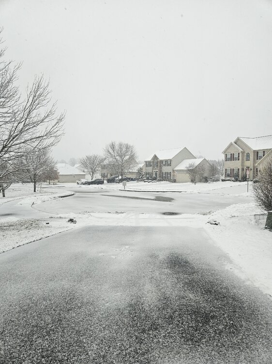
About an inch.
-
Moderate/heavy snow.