

HighStakes
-
Posts
4,111 -
Joined
-
Last visited
Content Type
Profiles
Blogs
Forums
American Weather
Media Demo
Store
Gallery
Posts posted by HighStakes
-
-
17 minutes ago, LP08 said:
Only 19...big difference

I've never been more confident in something not happening...lol
As we know it is rare to happen but if any set up can do it this is the one. Saturday is far from impossible. @MillvilleWx talked about how potent this front is. Since his post the models have trended much colder.
As always we'll see!
-
 2
2
-
-
If the system is as wet as the Euro is showing there will be a couple periods of heavy snow and anyone with some elevation probably will see temps 32-33 during the heavier bands. If precip is light to at times moderate than sure 34-36 is likely but you rarely see heavy snow at those temps.
-
3 minutes ago, Maestrobjwa said:
How much fell? (Admittedly not familiar with the "super clipper" term, lol)
It was an explosive clipper that put down anywhere between 3 and 9 inches depending on location. I got 6-7 living 1 mile north of the Beltway exit 20 Pikesville/Owings Mills. Most of it fell in a 3-4 hour period during the evening rush. Thunder and Lightning with 2 and 3 inch an hour rates during the height of the storm. I think areas just to our northeast got 10 inches with some 1 foot reports. Kinda of a smaller version of Jan. 2011.
-
2
-
-
39 minutes ago, Stormfly said:
March 1980.
March 01, 1980 we got 6" snow.
March 08, 1980 it was in upper 70s and we had severe thunderstorms at dinner time.
That was how March should be.
And March 28-29, 1984. Robert Irsay took the Colts to Indianapolis that morning too.
Superstorm '93 pummeled us hard here. Lowest all time barometer (966) and over 16" snow before the sleet bomb which was disappointing. Would have easily been in top 5 snow events if it stayed all snow.
Most recently would be the March 02, 2018 wind event. Probably the most legit non tropical non thunderstorm widespread wind event in recent memory in this area.
March 1984 super clipper. About 3 weeks before the Colts left.
-
4 minutes ago, CAPE said:
Yeah I don't remember it melting that fast. Ofc the height of it here was late afternoon I think with the deform band.
We got nailed with the first part here. Solid 7 inches and temperatures fell into the 20's midday with heavy snow. Then the lull and snow starting again before the next morning and snowed all day. Picked up another 7 inches or so. I recorded 15 for the event but don't think we ever had more than 11-12 inches on the ground. Very impressive storm for so late. Snow had no problem sticking to paved surfaces both days during the afternoons.
-
-
39 minutes ago, dailylurker said:
Sounds like the northern end of the county did better. Pretty boring AA county type winter I'm use too on the southern part.
18.5 here so far.
-
1
-
-
A light mix of snow/sleet.
-
59 minutes ago, losetoa6 said:
I think that's the exact date ?
Believe so.
-
14 minutes ago, losetoa6 said:
I believe Carroll county was under one on Jan 8,2020 . We had whiteout conditions. 2"+ hour rates
Yes we were. Phone alert went off.
-
44 minutes ago, Weather Will said:
I am sitting at the BMW dealer waiting for them to do the oil change and then come back and tell me how much money they want to do $ 100000….of other stuff. I am bored.
Anytime you go to these high end dealerships you need to take your own advice and keep expectations to a minimum.

-
 3
3
-
-
25 minutes ago, mappy said:
i barely got a quarter inch. all the good rates went just to my southwest
Tony Pann posted your picture on FB from yesterday morning.
-
2/13: 4.0
2/14: 1.5
Total: 18.5
-
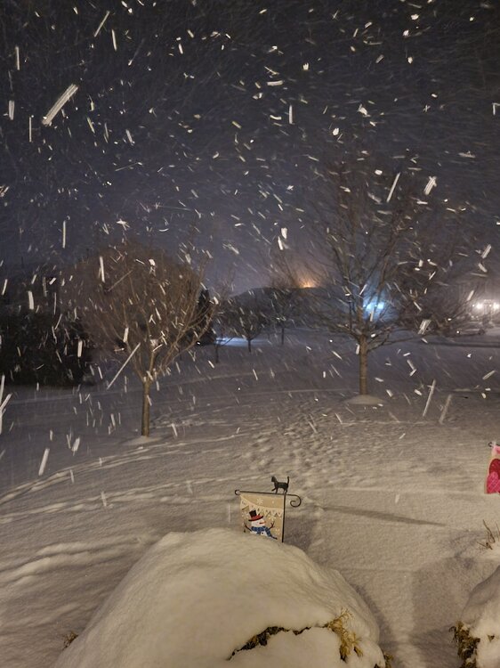
This morning during the squall.
-
17
-
-
Measured 1.2 but it snowed for about another 30 minutes after that. I'll go with 1.5 although it may have been closer to 2.
-
1
-
-
This is similar to the squall two years ago not quite as heavy though.
-
1
-
 1
1
-
-
3 minutes ago, mappy said:
Radar showing a nice band, that’s juuuuust to my west.
It's really cranking.
-
1
-
-
Heavy snow. Over an inch.
-
5
-
-
Surprise to see how fluffy the snow still is. With the midday sun and temps around 30 I expected a much wetter snow. We must have had good ratios up here.
-
1
-
-
Few Flurries. 28. Call it 4 inches.
-
5
-
-
Moderate snow. 28
-
1
-
-
2 minutes ago, losetoa6 said:
Its February 11th
. 5-6 weeks left to score accumulating snow for us nw

He has stated this in 3 separate posts. Pretty safe bet he will say it again at least another three times before this event begins.
-
1
-
1
-
-
19 minutes ago, losetoa6 said:
Let's reel this MECS in then start off March with a March 7th 1962 hit , followed up with a March 13th 1993 hammer then finish the season off with a March 19, 1958 qpf bomb Knockout hit

Edit...
If it's not asking too much maybe cherry on top ending of March 31, 1942

You forgot a March 1960 temperature profile so nothing melts.
-
1
-
 1
1
-
2
-
-
3 minutes ago, losetoa6 said:
18z has no 925 mb temps unfortunately
Edit..0z and 12z don't neither
It would be nice if something broke our way. Nothing really has worked out with the last 3 or 4 chances. Would be funny if this system works out with marginal temps after all the cold that produced nothing. I hate saying we're due but we're due!
-
2
-


March Medium/Long Range Discussion
in Mid Atlantic
Posted
I can think of several other examples. Unfortunately I have to run out on an appointment. If I remember I'll list a few later.