ncjoaquin
-
Posts
1,478 -
Joined
-
Last visited
About ncjoaquin

- Birthday 06/22/1964
Recent Profile Visitors
4,952 profile views


-
https://forecast.weather.gov/showsigwx.php?warnzone=NCZ053&warncounty=NCC021&firewxzone=NCZ053&local_place1=2 Miles ENE Bent Creek NC&product1=Severe+Thunderstorm+Watch&lat=35.5109&lon=-82.6143 Severe thunderstorm watch.
-
Picked up .80 inches in heavy rain this morning. Closing in on 6 inches for the month.
-
That sucks! Good luck.
-
My Ambient is showing a rate of 4.16/hr. I am over 2 inches. Still pouring.
-
Okay. Different story, lol. I have been in many a boat where the lake becomes an ocean. Zero fun!
-
Being on a lake in a storm is the worst!
-
Missed me again. Only .12. It looks like South and North did well. To show you how unlucky I have been as far as big rain totals, here is a Cocoras report from North of Candler. 7/13/2026 8:40 AM NC-BC-91 Candler 1.3 N 1.90 Well, you have to scroll to see it, but it is 1.9 inches. 1.9 inches compared to .12. I am happy that we have had at least some rain every day. How we keep missing storm after storm is amazing... Just by miles or even less. Oh well, they say slow but steady wins the race, lol.
-
.23 so far for today and .74 for the event here. Not as much as you guys, but still beneficial.
-
Happy Birthday!!!
-
Of all these thunderstorms, just had the 1st one roll through that actually produced some rain. .30 inches of rain. Hopefully, there are more where that came from.
-
Still 92.3 here at 6:21.

-
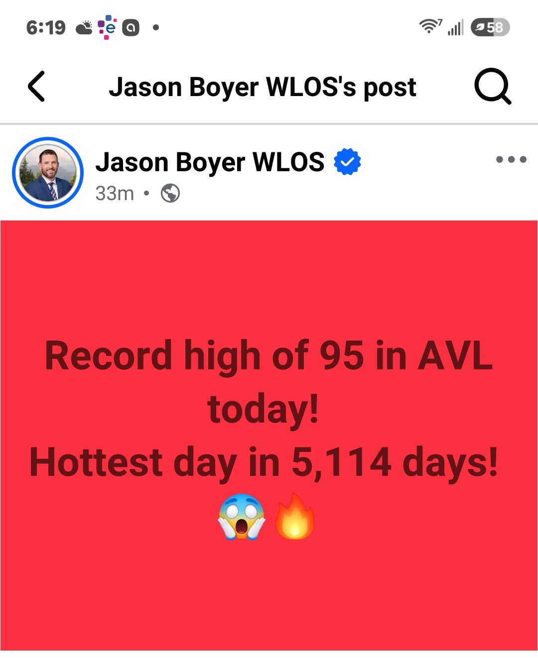
97.3 freaking degrees so far at my house today! Stupid hot.
-
A surprising .56 here today! Very welcome.
-
.09 inches of rain total. .95 month to date. It's a struggle to get rain here right now.
-
.39 here, but better than nothing. It is a beautiful day out there today! Glad that you guys cashed in.