

CNY_WX
-
Posts
2,717 -
Joined
-
Last visited
Content Type
Profiles
Blogs
Forums
American Weather
Media Demo
Store
Gallery
Posts posted by CNY_WX
-
-
Just now, Ottawa Blizzard said:
Come now, have you heard of the trucker convoy that just went to Ottawa?
 Just kidding.
Back in the 70s or 80s Quebec threatened to secede from the rest of Canada.
-
 2
2
-
-
5 minutes ago, Syrmax said:
1/15. 6F high , -6F low
1/29 11F high, +1 low.
Those were the two coldest high temps for KSYZ in January. Jan 29nanother day where the Sizzle's thermometer likely missed another subzero reading.
I’m not sure if he’s asking for the lowest maximum temperature this year or all time. The all time lowest maximum temperature in Syracuse was -7.1 F on 12/29/1933.
-
1
-
-

Channel 9’s first snowfall forecast. Sounds pretty reasonable. 10+ because of possible lollis to 12.
-
2
-
-

This looks great here then it take a right hand turn and just grazes southern New England and Long Island.
-
 1
1
-
-
15 minutes ago, TugHillMatt said:
I think you should change it to DeathBand.
@Syrmaxagrees.
You beat me to it. Is anybody on any sub forum using that?
-
1
-
-
8 minutes ago, 96blizz said:
Lovely.

Keeps the mix 5-10 miles southeast of me.
-
2
-
1
-
 1
1
-
-
14 minutes ago, Buckeyes_Suck said:
We should all just live in motor homes so we can always be where it snows the heaviest. Whos in?
Nomadland
-
1
-
-
2 minutes ago, TugHillMatt said:
Well, when we average the Rgem with the GFS, it gives us a hit....right?

That’s what I was thinking!
-
1
-
-
4 minutes ago, TugHillMatt said:
I am guessing watches will be issued tomorrow morning at the earliest for New York counties, except Onondaga.
Fixed it!
-
2
-
-
I wake up and look at the 6Z GFS to see if it pushed any further north only to see it head south. Did somebody in the New England forum hack into the GFS algorithm? They must be going crazy over there.
-
1
-
-
1 minute ago, sferic said:
00z Euro about the same as 12z

Might have edged north about 20 miles. Looks to be around a foot of snow/sleet in our area.
-
1
-
-
7 minutes ago, sferic said:
Now as I head back to Cicero midweek the lack of sleep continues.
Sick that parts of Eastern LI are almost neck to neck with SYR
Hopefully Syracuse will open up a bit of a lead by the end of the week. Temperatures in the 40s and rain is going to create a mess in southern New England and Long Island.
-
2
-
-
If the NWS had to put out a warning tonight based on the 0Z runs I think they would be calling for 8-12 inches for northern Onondaga County with the chance of some sleet mixing in.
-
1
-
-
This could be one time where the line of demarcation is Onondaga County and I’m glad I’m about as far north as you can get in Onondaga.
-
2
-
-
3 minutes ago, TugHillMatt said:
Whew. Sniffing the taint to get those higher amounts:

Doesn’t GEM = GDPS? Why is there such a difference between the output on Tropical Tidbits and Pivotal? TT is much further south with the taint line than Pivotal and puts Onondaga County in a good spot

-
1
-
-
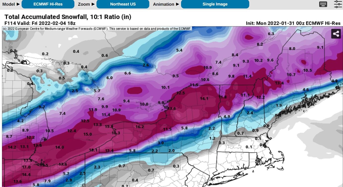
Wow, if these snowfall totals are to be believed amounts from this system could equal the amounts from yesterday’s monster coastal storm.
-
3
-
-
2 minutes ago, tim123 said:
The weak one in Northern va
Oh I thought you said Cape Hatteras.
-
3 minutes ago, tim123 said:
For sure. Just need it to hold and not have that low over cape Hatteras.
What low?
-
3 minutes ago, Ericjcrash said:
Almost like I made this map in my garage.
Amounts drop off fast south to north over Montgomery County.
-
The THM Effect. I heard it’s being added to meteorology textbooks as we speak.
1 hour ago, TugHillMatt said:We try to avoid discussing/debating (plus it's not "permitted") climate change on subforums. It causes way too much "heated" bantering and division. The only part you're allowed to discuss is the THM effect.
-
2
-
-
47 minutes ago, tim123 said:
Not at all
Do you know the difference between climate and weather?
-
1
-
 1
1
-
-
Just now, Syrmax said:
13.77"? Laser sighting used?
")
It’s the average of 55 different measurements.
-
4
-
-
3 minutes ago, sferic said:
12 inches give or take a few tenths, 30 miles east of me >20 inches
Back to Cicero on Wednesday just in time for something I hope !
Remote weather station showed -13 this morning, Brewerton?
I actually recorded -16 on my weather station. That’s the coldest this winter so far. Islip measured about 24 inches for the storm. It was still worth the trip for 12 inches. Come back to CNY and bring that foot here.
-
2
-
-
Just now, sferic said:
Thank you !!!
Are you still on Long Island? Maybe I missed something earlier but how much snow did you get yesterday?


Model Mayhem Snowstorm! 2/2-2/4
in Upstate New York/Pennsylvania
Posted
You didn’t see my post. -7.1 on 12/29/1933.