WxUSAF
-
Posts
28,700 -
Joined
-
Last visited
Content Type
Profiles
Blogs
Forums
American Weather
Media Demo
Store
Gallery
Everything posted by WxUSAF
-
@nw baltimore wx and @RIC Airport both missed IAD by 1 day.
-
Temp dropped a bit more and can round down to 33. USDA fields north of Greenbelt are very frosty. Car thermometer said 33, but I’d wager it was at or below freezing there this morning. It’s a microclimate that radiates very well.
-
For other parents of 5-11yo kids, CVS website is updated and I was able to schedule my son for the vaccine. First available was next week in Glen Burnie, but I got it scheduled for now pending better options.
-
Car is all frosty but no freeze here. 34F.
-
Yeah, for the closer in burbs, next few mornings Thurs-Sat probably have a better chance now.
-
Persistent cloud cover is probably going to sink my chances of a freeze tonight.
-
Decaf coffee, chocolate milk, and bourbon for me this happy hour. Needed a warm drink on this day.
-
Duh, we’ll all be drinking either out of excitement or to console our imminent failure. Either way…drinking.
-
This would be fun in December or January with temps 20F colder. A nice 1-2”.
-
First sub-50F day of the season achieved. High of 48F and down to 47F.
-
Are zoom chats the new radio shows??
-
-
Seems very likely IAD gets its first freeze this week. BWI and RIC have a chance, but it’s not guaranteed. Lol DCA.
-
BWI only had 1 day below normal in October: 10/01 with a frigid -2.8F departure. Every other day was AN. Only 3 of those AN days were even within 2F of normal. Just an epic torch month.
-
-
“Could be heavy at times”. Yes, I’d call 8-10”/hour rather heavy.
-
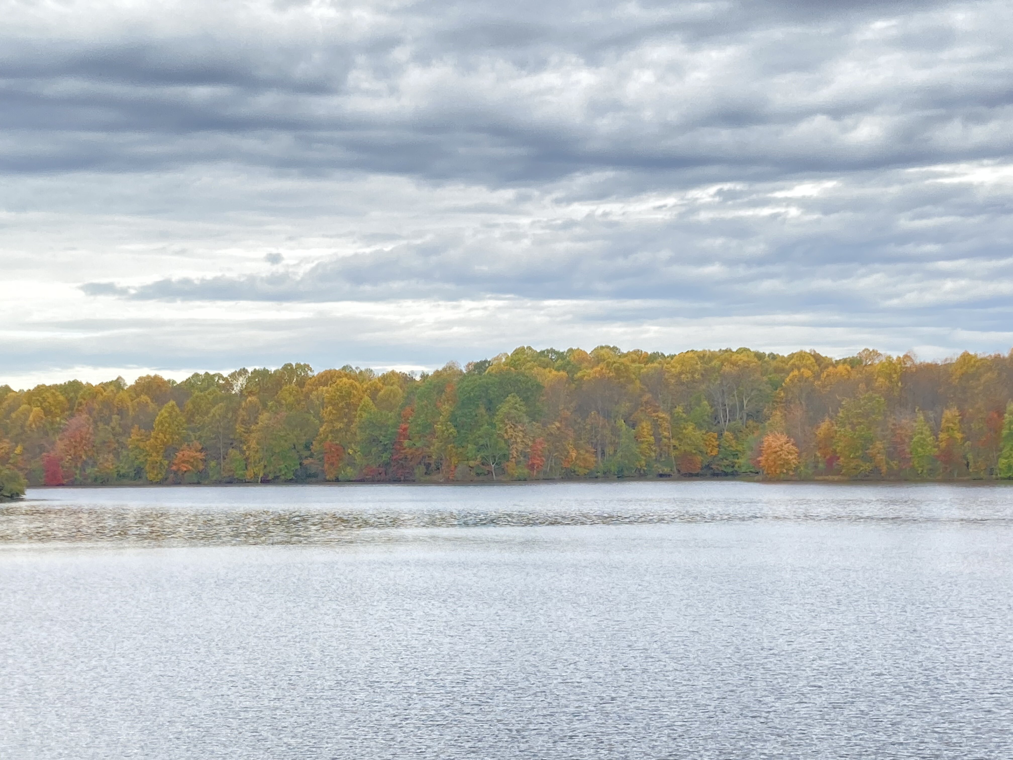
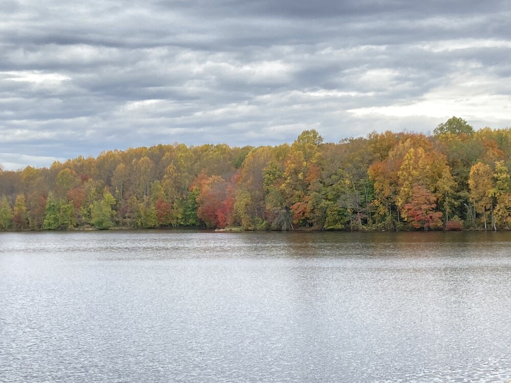
Peak foliage at Centennial Lake

-
Bought some New Belgium Accumulation today so consider the winter jinxed.
-
November isn’t winter.
-
2.45”. Stopped for now but large area of rain near the Potomac in southern MD looks like it might rotate through overnight.
-

Mid-Atlantic winter 2021-22 snowfall contest
WxUSAF replied to AnEndlessMaze's topic in Mid Atlantic
Salisbury -
Mid-Atlantic winter 2021-22 snowfall contest
WxUSAF replied to AnEndlessMaze's topic in Mid Atlantic
BWI: 5.3 DCA: 3.2 IAD: 7.7 RIC: 6.8 (suppressed storm whiffs DC-Balt) SBY: 5.4 -
Been pouring the last 2 hours. Almost 1.5”.
-
A great winter-type pattern in November is wasted 99% of the time. I'd rather the pattern evolves so by ~10-15 December we have something functional.