WxUSAF
-
Posts
28,772 -
Joined
-
Last visited
Content Type
Profiles
Blogs
Forums
American Weather
Media Demo
Store
Gallery
Everything posted by WxUSAF
-
I’m good as long as I don’t post it on Facebook
-
Start time for my mother in law’s surprise outdoor 70th birthday party
-
Great CAD signature on the happy hour GFS
-
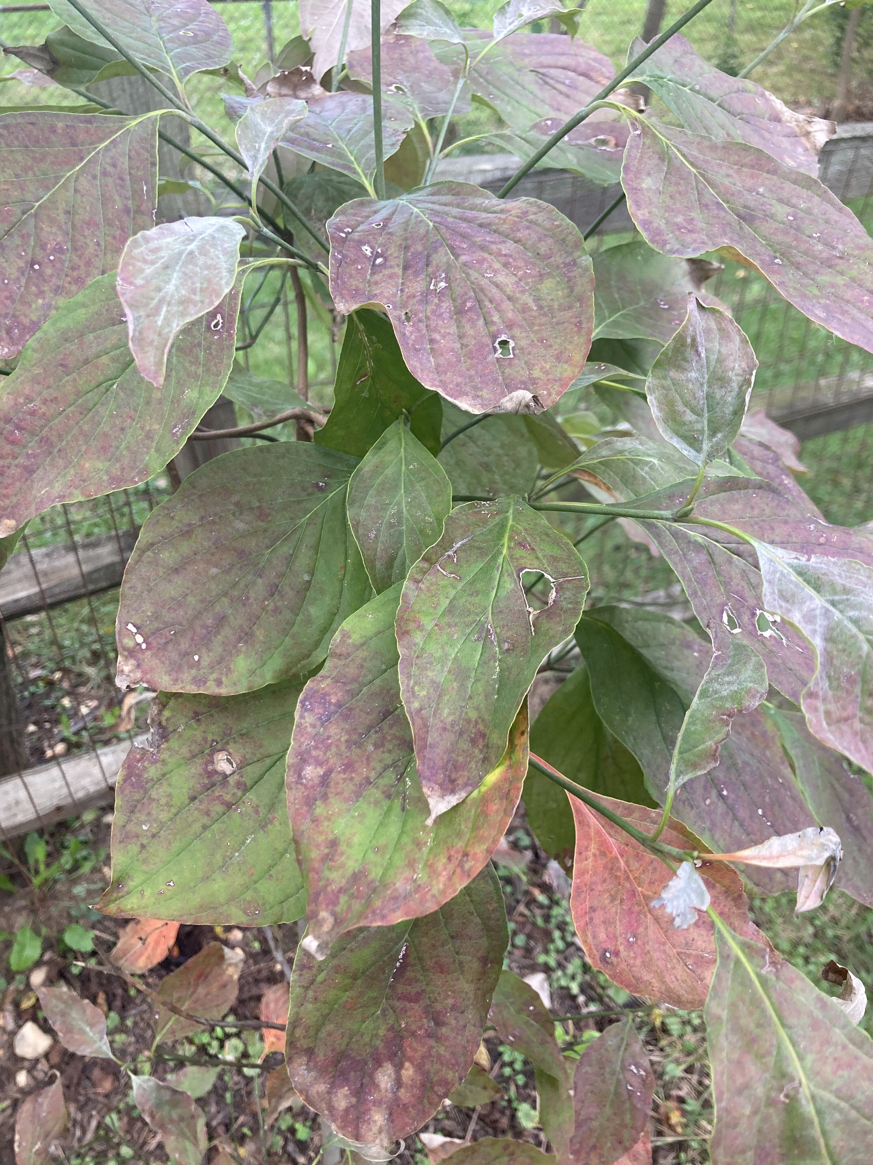
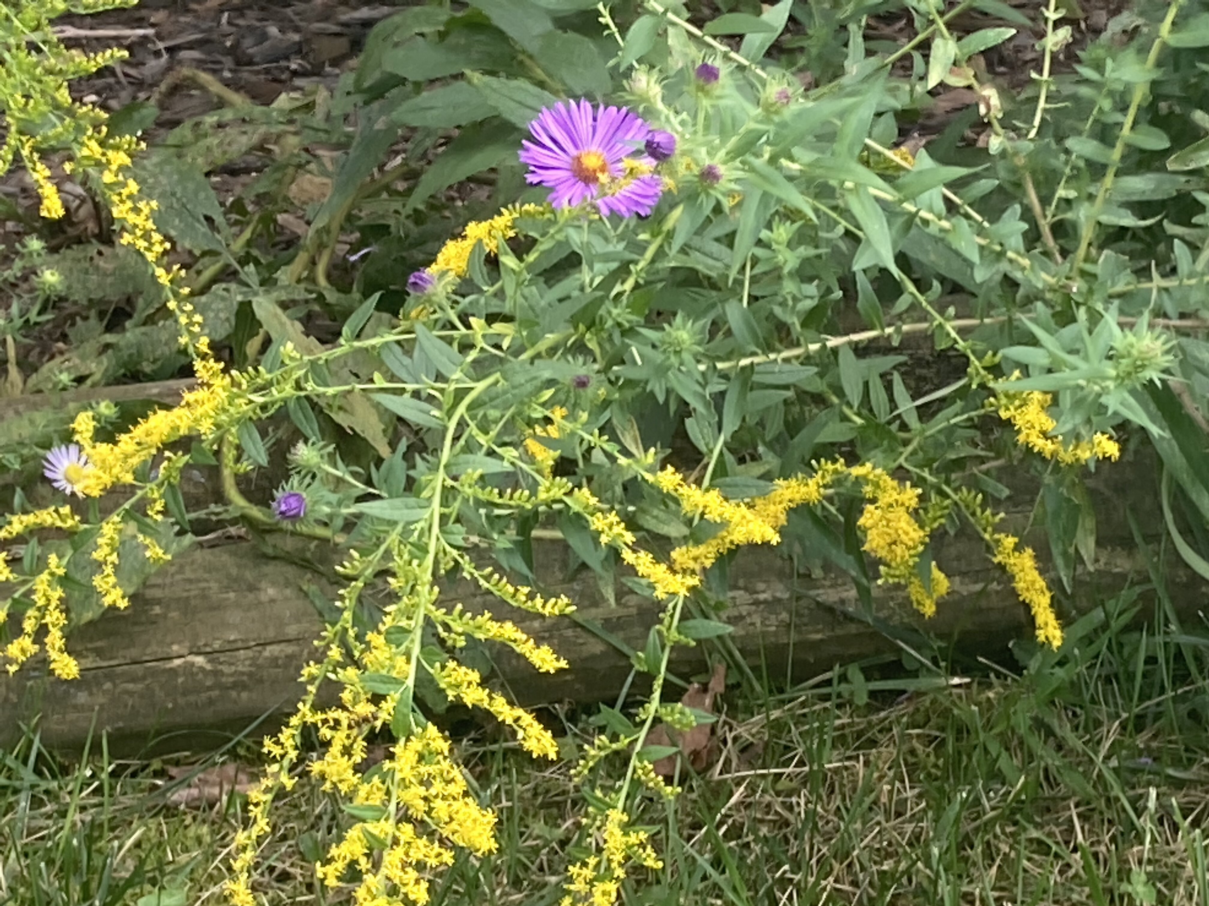
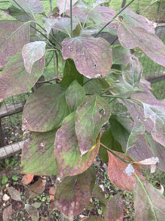
Goldenrods are blooming and many tree species are starting to show some color. Cool air coming in this weekend should help as well.

-
Cold Canadian high moving in, big storm brewing in the Gulf at 240hrs on the Euro. Get your snowblowers ready
-
He aggravated his injury and was mostly on the bench
-
9th inning comeback win for the O’s is a nice small consolation for Baltimore sports fans today
-
Quite possible. Prevent defense successfully prevents the defensive team from winning again.
-
What an epic collapse
-
I hate “prevent” defense
-
Fall coming in like...

- 573 replies
-
- 11
-

-

-

-

-
Next Saturday could be the first 40s temp at BWI since May 11.
-
Kill them all!
-
Parade of cool Canadian high pressure areas starting next Thursday on the Euro and GFS
- 573 replies
-
- 12
-
-
Low of 52
-
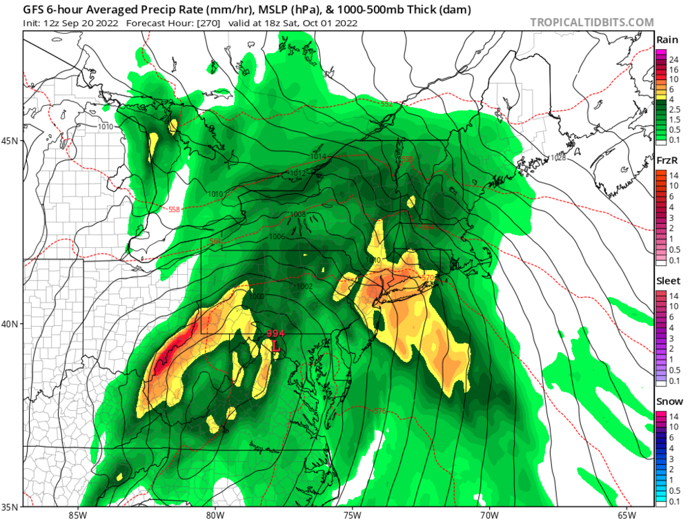
Weather watching is starting to get interesting for late next week. Seems like our first legit fall cold front will be a key player in deciding where Fiona tracks. At the moment looks like next Friday or Saturday or both could have highs in the upper 60s/low 70s with upper 40s/low 50s for lows. How fast the front moves south and it’s orientation will guide Fiona OTS or possibly under the ridge more and become a landfall risk.
-
Looks like we’re getting some smoke aloft this morning as @George BM mentioned yesterday.
-
Low of 57. Overnight ensembles started to hint at a “cool”down after next weeks heat and there are some indications the warmest temps may stay south of us next Tuesday-Thursday.
-
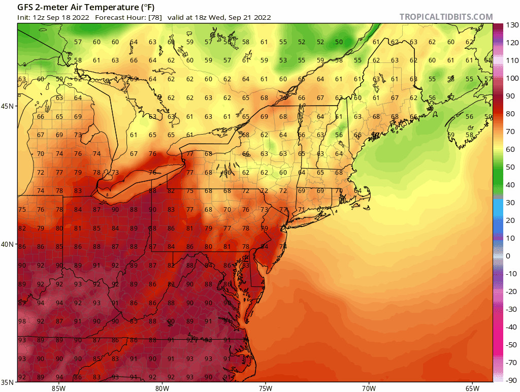
That cold front at the end of the 18z GFS
-
Cold novembers and torch Decembers seems to be the pattern for the last decade
-
Nearly 1.5” in my plastic rain gauge
-
7”/hr precip rate and a power flicker
-
Respectable thunderstorm here. A few loud thunder cracks and torrential rain.
-
Desert ecosystem reestablishing itself?
-
Incoming for @psuhoffman and @mappy