WxUSAF
-
Posts
28,764 -
Joined
-
Last visited
Content Type
Profiles
Blogs
Forums
American Weather
Media Demo
Store
Gallery
Everything posted by WxUSAF
-
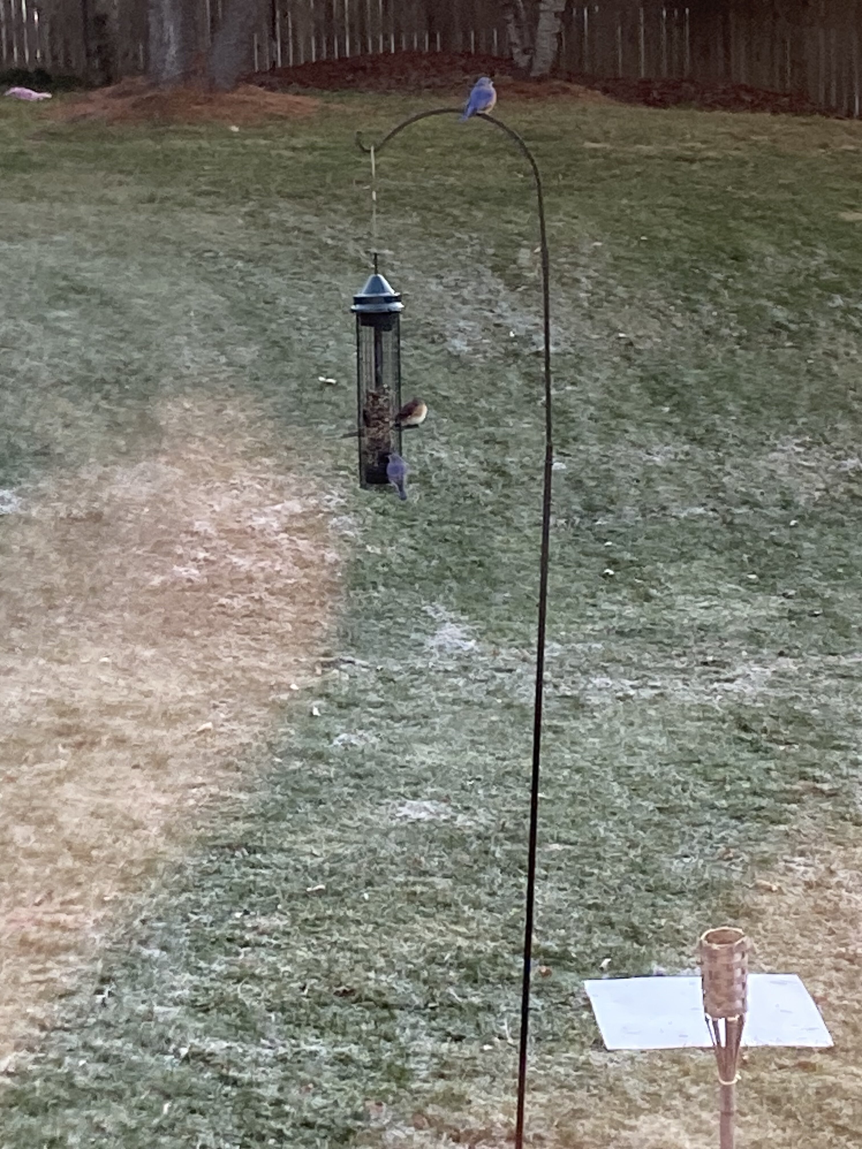
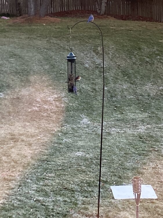
Bluebirds at the feeder on a frosty morning. Snowboard also pictured.
-
If it works out it’s very much a “just in time” cold air arrival with a little help from evaporative and dynamic cooling. That’s our wheelhouse!
-
Bengals beat the Chiefs. I can’t imagine the score if the ravens played the chiefs today, even with Lamar healthy.
-
I’ve done my 3rd last leaf cleanup. Probably 2 more last leaf cleanups to go
-
2 road division games won’t be easy. Watching the bengals now and they’re just so much more dynamic. Ravens probably still make the playoffs but they’re probably 1 and done.
-
Good win or great win? Lol
-
Great drive by him.
-
Fun play design although I bet it wasn’t supposed to be thrown into quintuple coverage.
-
I haven’t looked at any guidance this weekend besides charts that have been posted here, but I want to see the Pac pattern easing get to D8-9. Seems like based on what people have posted, we’re on the hairy edge of that? Hopefully it holds through Tuesday-Wednesday.
-
This game should end the charade that is the 2022 ravens
-
I’ve always mowed in early December to cut the grass short and chop leaves.
-
Eh…like are there stronger shortwaves now? Not sure. I don’t follow it closely but the link between climate and baroclinicity seems less certain.
-
Yes exactly. What is indisputable is that our winters are warmer by every metric. The shift to wetter conditions hasn’t been as dramatic in winter months, but it’s there too. So with more precipitation and less snow, it’s not hard to implicate the warmer temps. But that increased moisture gives us a better chance at the rare big dog.
-
I think it’s hard to put a date on it because snowfall has always been a highly variable number in our area. But since the 80s and 90s we’ve really gotten into a boom-bust cycle where before then, the bust years were far less frequent.
-
Yeah probably something like that. We need more anomalously cold air then we did 20-40 years ago. But we also have generally wetter conditions. Probably why a higher proportion of our snow now is in rarer larger events and we’re losing a lot of the lighter events with borderline temps.
-
The -PNA is part of the problem obviously but we could have probably dealt with this level of -PNA (weak to moderate) if we had trapped the PV underneath the -NAO. Without that, we’re just trapping in modified garbage air masses and then popping SE ridges.
-
How about some freaking Gio Reyna time? What could we possibly have to lose by it??
-
I think this experience will really set this group up well in 26. The talent pool has gotten deeper quickly and is continuing to deepen. Lots of quality US players playing in European leagues.
-
Only SiriusXM I think
-
The -PNA of goals
-
Seems like Berhalter goes to prevent defense every 2nd half so if we hold a draw at the half he’ll probably start playing to make it to PKs.
-
What does it it take for a damn Gio Reyna sighting!?!
-
Does that count in lieu of your 70F day?
-
Hovering on the MacBook just shows "Weenie" or "Thanks", etc.
-
I'm trying now with my MacBook and same thing. The board must hate me.