-
Posts
80,466 -
Joined
-
Last visited
Content Type
Profiles
Blogs
Forums
American Weather
Media Demo
Store
Gallery
Everything posted by weatherwiz
-

Possible coastal storm centered on Feb 1 2026.
weatherwiz replied to Typhoon Tip's topic in New England
gotcha...I was very confused for a second haha. -

Possible coastal storm centered on Feb 1 2026.
weatherwiz replied to Typhoon Tip's topic in New England
yeah I'll do without a sub 970 low please...hell I'll do without sub 980 -

Possible coastal storm centered on Feb 1 2026.
weatherwiz replied to Typhoon Tip's topic in New England
I'm confused with this. Are you saying you think the GFS will eventually come more NW? If so, that's what I was referring to -

Possible coastal storm centered on Feb 1 2026.
weatherwiz replied to Typhoon Tip's topic in New England
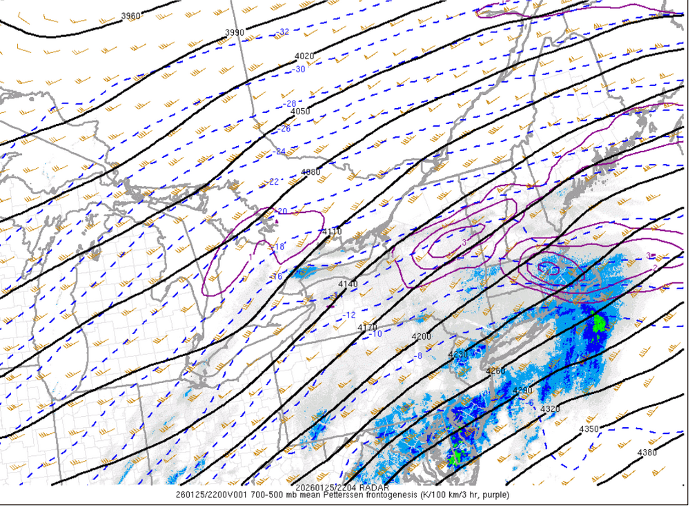
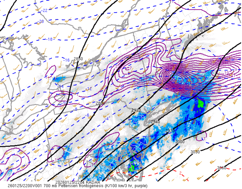
Going to go with what my professor talked about with this past storm and how the GFS tends to be too far south and east with developing low pressures with Arctic boundaries around. GFS tends to develop them more towards the warmer side of the boundary (or a bit south and east of the boundary) when the reality is they tend to develop right along the Arctic boundary. Models can struggle with Arctic boundaries because the depth of the Arctic cold is on the shallower side -

Possible coastal storm centered on Feb 1 2026.
weatherwiz replied to Typhoon Tip's topic in New England
I would lean towards the 12z GFS being too far south and east -
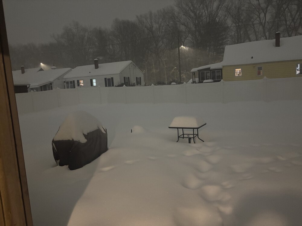
It was really difficult to get a final measurement because once the winds picked up the snow began blowing around. When I measured around 7:30 (had 11.5") and went back out before bed around 9:30, there was minimal additional accumulation and that's during the period when the winds started picking up. But judging by how it continued to snow through I went to bed I have to say the total was about 13-14". Depth is probably very close to 18".
-
Oh absolutely. Just pointing it out more for the science behind the scenes aspect. So this isn't anything to knock down or play down the storm or intensities ordeal but it just goes to show how extremely difficult it is to get a storm where you have a consistent ratio. Now, at the end of the day, total wise it may not truly matter (except when talking about very high end stuff)...so it was a factor in why we didn't see widespread 20-30" type stuff but for those forecasting it's something that really needs to be given thought when making a forecast. We all won on this one
-
I was watching some map discussion video lectures from my professor last night which he posted Thursday and Friday doing model analysis. In his discussion from Thursday he talked about several things which hinted that not only the storm would take on a more northerly track but why the GFS initially was a bit far south and east than some of the other guidance was at the time. He pointed things out in model guidance Thursday and gave his opinion on how he thought the storm would unfold and he was pretty spot on.
-
forgot to clear my table off...got side tracked Oh well. Have to head to bed soon but probably do one final measurement. It's gotten pretty breezy here so snow is definitely drifting. I am actually wondering if I cleared, would I even get an accurate accumulation with the way the snow is blowing. Oh well...it is what it is


