

weatherwiz
-
Posts
81,082 -
Joined
-
Last visited
Content Type
Profiles
Blogs
Forums
American Weather
Media Demo
Store
Gallery
Everything posted by weatherwiz
-

Hoisting the Sultan Signal: Heavy Rain Event July 5-7
weatherwiz replied to WxWatcher007's topic in New England
This evolution doesn't scream flood to me outside of any typical spots that flood even when someone leaves their garden hose on too long. I want to see an expansive area of 35-40+ dbz which is almost not moving and with a continuous fetch of moisture and a continued blossoming of the precip shield with intense echoes so the rain shield is essentially stationary.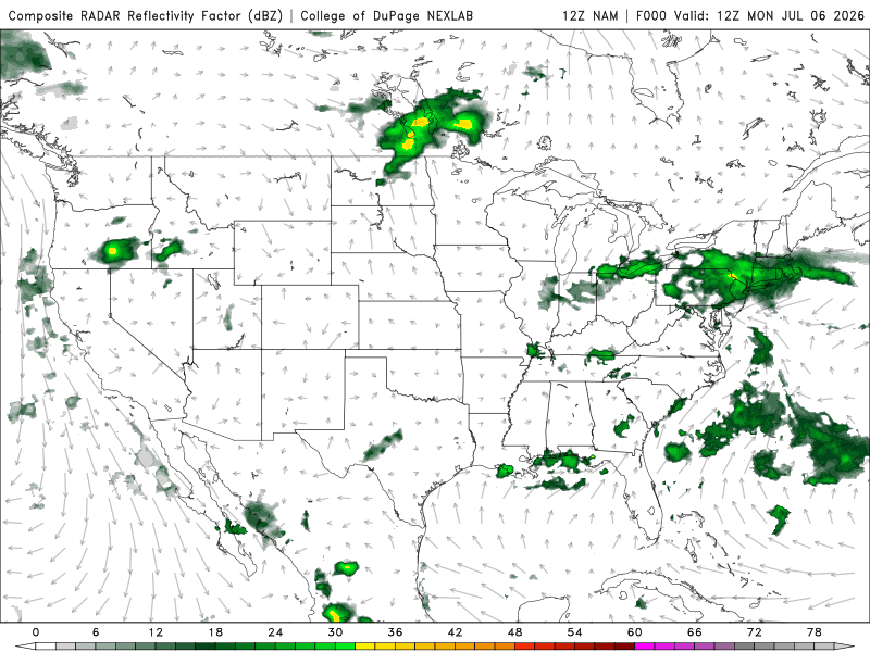
-
Hoisting the Sultan Signal: Heavy Rain Event July 5-7
weatherwiz replied to WxWatcher007's topic in New England
I think its safe to say, that can be tossed and tossed very far -
Hoisting the Sultan Signal: Heavy Rain Event July 5-7
weatherwiz replied to WxWatcher007's topic in New England
Goes very wild with the llvl jet -
We can only hope
-
Hoisting the Sultan Signal: Heavy Rain Event July 5-7
weatherwiz replied to WxWatcher007's topic in New England
IDK This really doesn't seem all that impressive nor does it look like it is going to evolve to be so. Just a good ole fashion steady, soaking rain. Highest totals probably end up coastal CT/Long Island. Congrats to the Fish in the Sound -
Hoisting the Sultan Signal: Heavy Rain Event July 5-7
weatherwiz replied to WxWatcher007's topic in New England
Good point. Towards the end of last summer when I would take the cover off before using it I would have bees flying out from it -
Hoisting the Sultan Signal: Heavy Rain Event July 5-7
weatherwiz replied to WxWatcher007's topic in New England
Looking like the max totals will def be towards the coast but probably nothing obscene. Probably some totals up around 4-5"...maybe someone gets 6" -
Hoisting the Sultan Signal: Heavy Rain Event July 5-7
weatherwiz replied to WxWatcher007's topic in New England
Damn it, I forgot to cover the grill before bed last night after making burgers -
I think I saw vortex95 mention this but the reflectivity gradient along the leading edge of those storms was about as textbook as you'll see for these parts, hell that would even be impressive anywhere else. Anytime you see a super strong wind signature like that I guess there is the risk for a brief spinup but I don't think there was anything really pointing towards a tornado or rotation. Velocity signatures on all radar sites was pretty evident with straight-line wind signatures and if you look at the environment, there really wasn't anything supportive for tornado formation. Just a textbook classic setup for straightline winds and widespread given the development of a cold pool.
-
The warm front may not even get into SNE at all. Very possible it sets up to where coastal CT across coastal RI and far SE MA get the highest totals (anything greater than 3-4").
-
idk...I would you would want to see more convective processes involved when talking about potential for these widespread excessive totals some of the short-term models are indicating. I can see 1-3" widespread and then probably a narrow zone where you get maybe 4-5" but that may be more isolated versus widespread.
-
I’d like to report High Noon sized hail
-
Great way to keep a drink cold
-
That was the area I wanted to go too if I didn’t have stuff today
-
The warning updated to say 2” observed
-
My brother lives there but towards the Farmington line. Missed the core by 3.5 miles. Did lose power briefly but no hail
-
Holy shit 2” hail confirmed
-
Can’t believe how bright it was. Still trying to figure if it’s from the Hartford stuff or Litchfield stuff. Anyways was enough to get people to start working inside
-
Holy shit. Sitting outside in Enfield well out ahead of anything and just saw a super bright flash of lightning. Scrambled to get everyone inside
-
Hearing thunder from the stuff around west Hartford
-
In Enfield and all the good stuff is going to be passing south booooo
-
We’ll definitely get some days where it’s much cooler (like early week) because we get fronts coming through but we will go back into above average temperatures. May not be upper 90’s to lower 100’s but will be lots of upper 80’s to lower 90’s days and probably 93-95 in the torch spots
-
This month is going to be quite above average.
-
Surprised the watch hasn’t eleven extended into western CT
-
COC is 99/74


