

Jenkins
-
Posts
1,421 -
Joined
-
Last visited
Content Type
Profiles
Blogs
Forums
American Weather
Media Demo
Store
Gallery
Everything posted by Jenkins
-
July has arrived ... the Meteorologically defined mid summer month
Jenkins replied to Typhoon Tip's topic in New England
Basement window exploded and sent a torrent of water in to the dryer area. File that under less than ideal. 1.61” from this round of storms. -
Most of my 3 acre property looks like that. Cankerworms have devastated the oaks and beech trees. The property is heavily wooded so hopefully they can make a recovery or else I’m going to have a lot of trees to take down. Someone from DEM stopped by because the damage was so noticeable from I95. She said it’s the worst that she’s seen in the state. For about 2 weeks, everything was covered in worms. Lots of turkeys and other birds showed up and stayed close for the buffet while they were in full swing.
-
Pea sized hail on Warwick/EG line
-
My brother’s property is on the eastern edge of the evacuation zone and he’s been watching National Guard blackhawks fly overhead scooping water from local ponds. 650 acres have burned. A fire in West Greenwich burned 200 acres over the past 48 hours.
-
That was quick. Mostly snow now.
-
Mostly sleet with snow flakes starting to mix on EG/Warwick line
-
Just down the road from me, closer to downtown East Greenwich. Edit: Still have power here
-
Flooding in Weekapaug per my dad. The causeway on Weekapaug road has a significant amount of water on it. He let a guy heading in that direction know that the road was flooded out and was told there was a van floating on Atlantic Ave. Not sure that is a reliable report but the beaches are definitely taking it on the chin.
-
1.47" on East Greenwich/Warwick line. ~0.75" in the last ~20 minutes.
-
I had an inguinal hernia about 20 years ago but it sounds like you might have a umbilical hernia but as SouthCoast said above, it might just be a muscle strain. A breakdown of different types of hernias from the always accurate WebMD. https://www.webmd.com/digestive-disorders/types-of-hernias
-
https://hdsc.nws.noaa.gov/hdsc/pfds/pfds_map_cont.html?bkmrk=ri
-
2.71” in East Greenwich
-
A quick 0.32" in East Greenwich.
-
-
Wear enough layers and jackets are optional
-
02818
-
Looks like it’s our turn for the band in EASTERN RI.
-
-
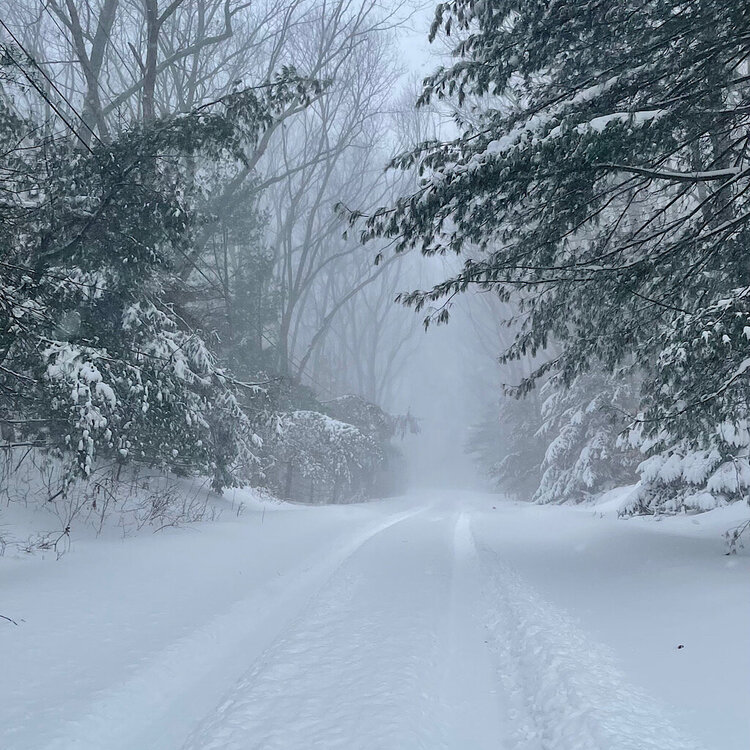
First flakes in East Greenwich
-
Awesome, great info guys. Thanks!
-
Trying to learn more about FGEN products here. Would anybody care to briefly explain how to use the various FGEN products at varying heights to predict where banding develops? In other words, in a setup like this, should I be looking at 700mb FGEN, 850mb FGEN, 900-500mb average, 800-600mb average? I'm taking a wild guess and perhaps the layer(s) which is the closest layer at which DGZ is located in?


