Chrisrotary12
-
Posts
7,420 -
Joined
-
Last visited
Content Type
Profiles
Blogs
Forums
American Weather
Media Demo
Store
Gallery
Everything posted by Chrisrotary12
-
Do we even have 0.1”?
-
Amazing subby zone. 12-24” to 0. What BS!
-
Tomorrow looks lovely.
-
Can't cancel what never started?
-
I know the weather sucks... but this is pretty impressive.
-
who turned on the dews? Can actually feel it.
-
Reminder that SE NH and NE MA are there own little micro-severe alley. Always do well there.
-
Played Overlook in Hollis, NH last two days: +1 & +7. The four 9s were: +3, -2, +8, -1. Guess I need to work on the front 9. (3-9 is definitely the hardest stretch)
-
The 2023 Lawn, Garden, Landscape Party Discussion
Chrisrotary12 replied to Damage In Tolland's topic in New England
Could it stop raining for like 18 hours please? Just need to cut the grassland that is my yard. -
When will (did) you install/ turn on the AC this year?
Chrisrotary12 replied to Cold Miser's topic in New England
Need to start a “when will you turn off heat” thread. I’ve still got it on for lowest level of house. -
I hate to say it but if that's the thickest its been for you then you missed out.
-
You're in a car. Drive west or south to intercept core.
-
Stay safe.
-
Sounds like one of those sci-fi TV weather movies... Ice Twisters!
-
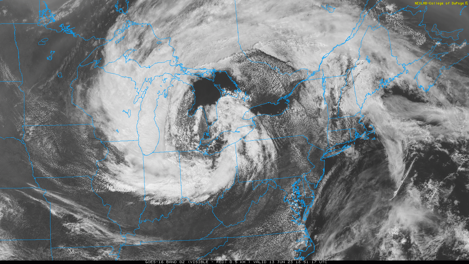
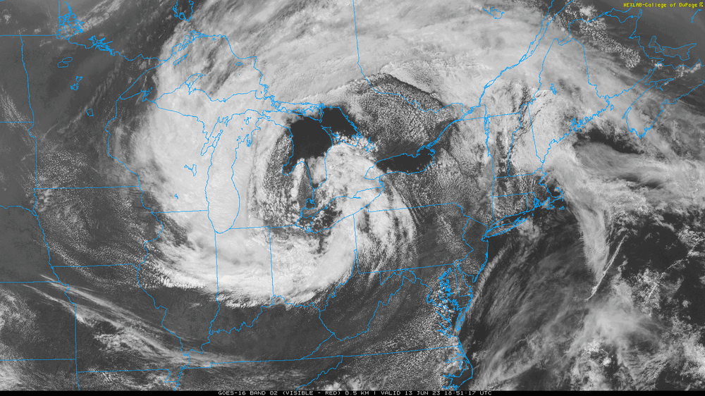
If you squint long enough you can imagine that we all just received 12-24" and the low is rotting in the gulf of Maine.
-
Getting chilly in the house.
-
Just accepted that you live in the sahara now
-
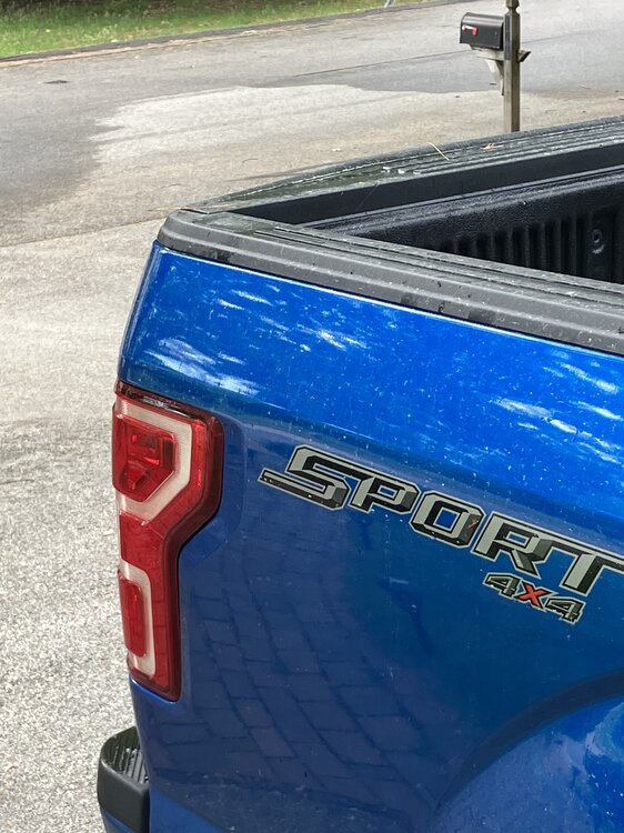
The truck is now clean.
-
Not even enough to wet in the shade or wash pollen off truck.
-
I'd like to suggest you relocate to Ft. Stockton, TX. Sneaky good supercell spot.
-
That was a good one. Just sprinkles here.

-
13/5/1
-
Sea breeze and outflow marching towards each northwest of GYX. Cold air meets cold air and stable!
-
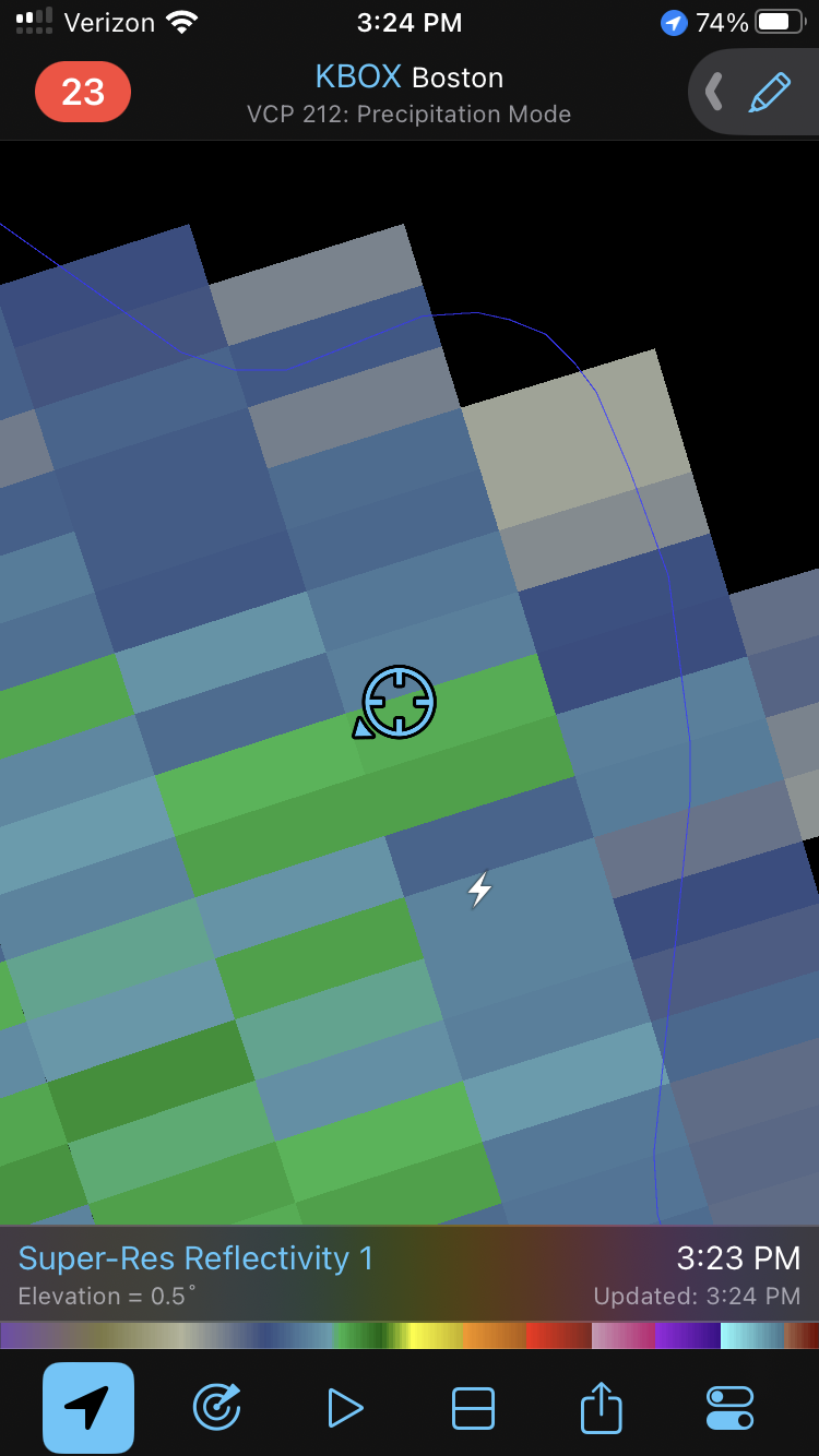
Thunder rumbling with cell to my west over Nashua River. Sounds cloud to cloud
-
The 2023 Lawn, Garden, Landscape Party Discussion
Chrisrotary12 replied to Damage In Tolland's topic in New England
Bucket deployment extremely successful