mreaves
-
Posts
14,906 -
Joined
-
Last visited
Content Type
Profiles
Blogs
Forums
American Weather
Media Demo
Store
Gallery
Everything posted by mreaves
-
I’m not a lawn guy per se but ask any golf course superintendent or golfer, having irrigation is great but it’s not that same as rain. It will keep your stuff alive but not really thriving.
-
Yep. I don't like bell bottoms
-
Ummm, I have one. I’m a little better than how you describe your friends but not a lot. The shot wasn’t great. I thinned it wickedly. It hit the flagstick and dropped straight down. If it hadn’t, it would have gone 50 yards over the green lol. Sometimes you just need a little luck.
-
This week will go a long way to getting our course open. I haven’t heard a projected opening date yet.
-
I remember that. I was 8 years old. I think there were records broken up here too.
-
Has the Pope's early summer call held up? Seems a bit chilly
-
14° from my low. Yay April?
-
51 Aprils up here and 51 Aprils it has snowed.
-
I don’t want this.
-
As Journey sang: So here I am with open arms Hoping you'll see what your dews mean to me Open arms
-
Yeah, I guess I didn't pay attention because I was not expecting that. Only a dusting at my place but nothing here at the office in Waterbury.
-
Yeah, just effin’ shoot me if that comes to pass.
-
Luckily, Auriema handled the loss with class.
-
This winter was rough on the roads. Just torn up.
-
wow. I got up to 47°. Edit: I just read past your temp. Sorry to hear about your grandpa.
-
Give it a bit and you’ll be able to grow oranges and lemons.
-
The wind was nasty too.
-
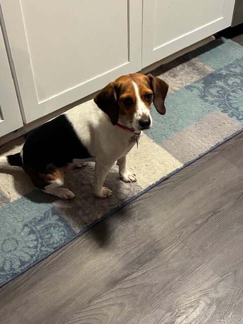
When we lost Wilbur (my profile pic) we waited almost 2 years before we got another dog. We wanted and enjoyed the freedom that came along with not having to be home by a certain time to let one out and being able to go somewhere at the drop of a hat. But then we got Bella the beagle and I don't miss that freedom at all. She has been a great addition to the household and we are so happy to have her.
-
@WinterWolf @dryslot @Lava Rock Quick update on my sled saga. As I mentioned before, the RCMP found one but the other one never turned up. I went up the weekend of the 14th to pick up the recovered after the insurance company declared the other one a total loss. State Farm reimbursed me for the gas, hotel and storage fees related to me having to go up and get it. The money hit my account within a matter of hours after I submitted receipts. This past Saturday, I took the recovered sled to a Ski Doo dealer to have them go through it. The estimate to replace the front bumper, belly pan and the stolen LinQ gas caddy and tunnel bag is $1,361. The parts will be in this week so that should be done next week. Now I just wait for the settlement for the second sled.
-
From what I've heard, leave now so you can get through the lines on time to make your flight.
-
So sorry Wiz. It never is easy. I'm glad you were able give a good life and were there for him in the end.
-
Do you even drink water?
-
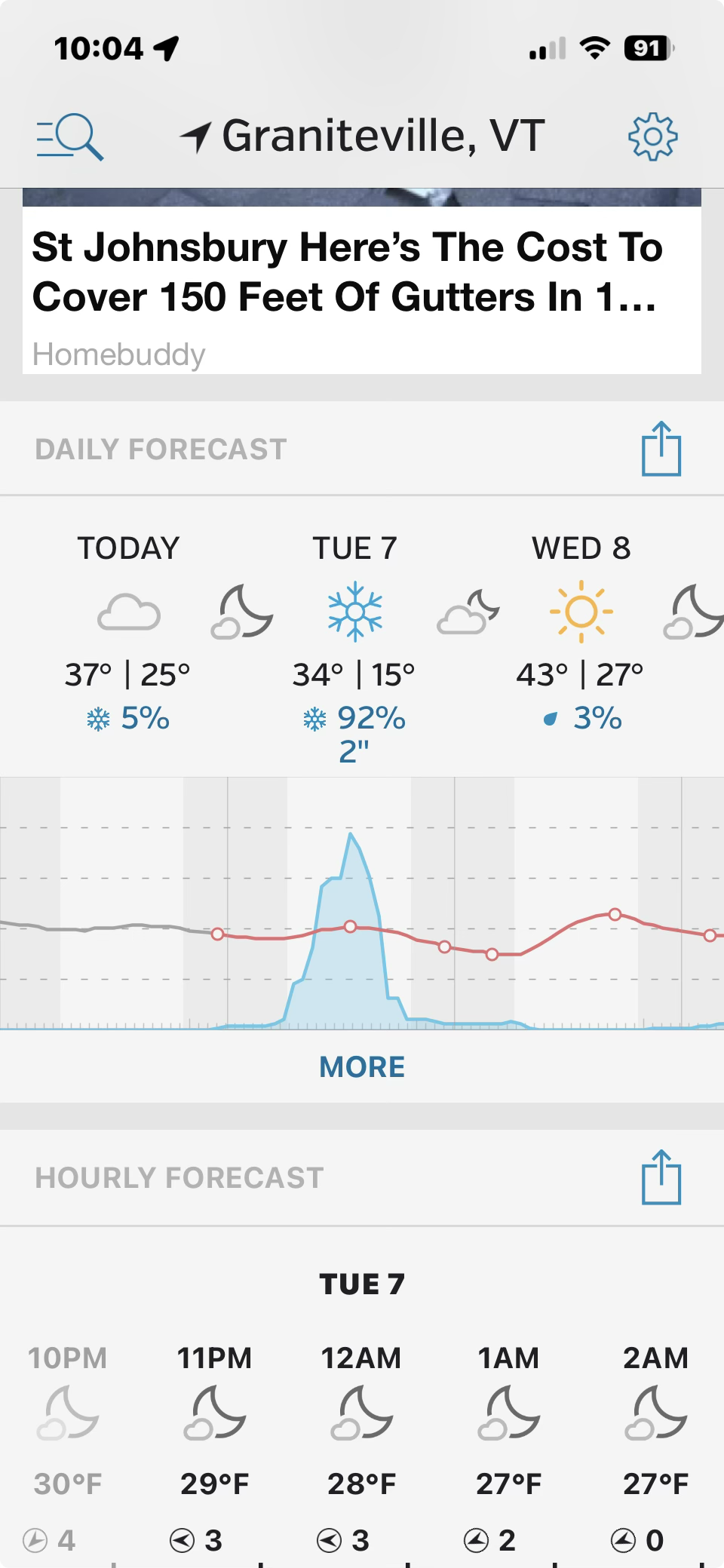
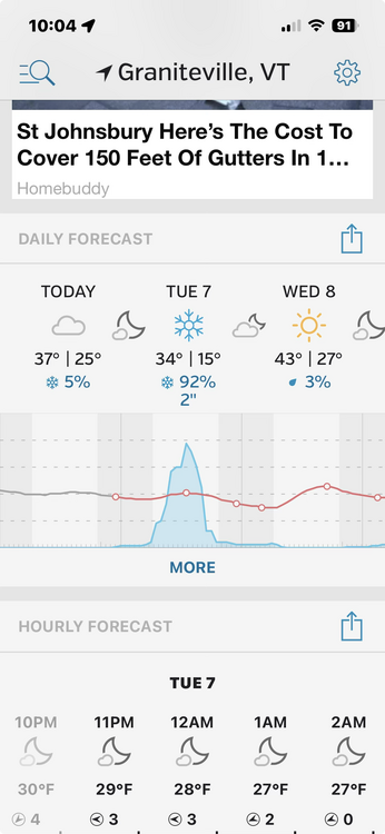
Ended up with 3" at home. This 3" seemingly has the same amount of qpf as the other 80"+ that fell over the course of winter combined.
-
Temps dropped quickly after the flip here and accumulation picked up quickly.
-
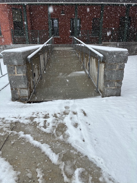
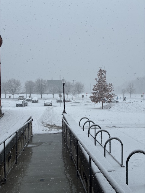
Couple of inches here at home. Started in Waterbury around noon. And just to annoy @ORH_wxman, I’ve included a picture of the heated walkway hard at work.