

Tatamy
-
Posts
2,329 -
Joined
-
Last visited
Content Type
Profiles
Blogs
Forums
American Weather
Media Demo
Store
Gallery
Everything posted by Tatamy
-
 Big difference in conditions from where you are at elevation as compared to those on I80 to your south.
 -
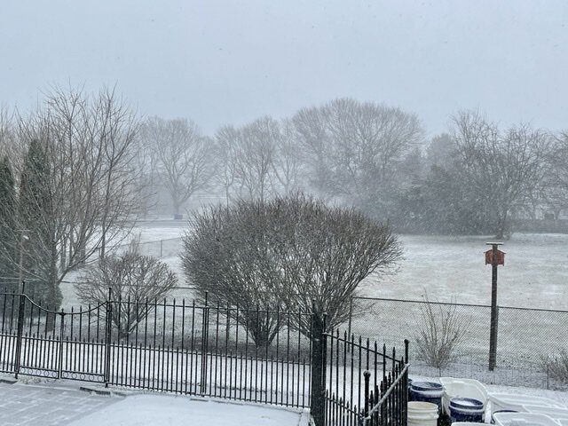
Heavy snow 1/4 mile visibility.
-
Actually for the time being it does not appear that the changeover line is proceeding any further east (as seen on traffic cams). It still runs from about Jugtown Mtn along I78 to the area where 206 connects with I80.
-
Snow in NJ as Far East as Rte 206 along I80 and Pattenburg (exit12) along I78.
-
Steady snow / 34 degrees. Already sticking to non paved surfaces. This was a direct flip from rain to snow with barely any sleet. The HRRR had the changeover from yesterday at 8:00 AM today and was spot on.
-
Rain mixed with snow. 36 degrees.
-
Heavy snow is coming down just west of Allentown. Visibility’s along I78 as shown on traffic cameras is under 1/2 mile with moderate to heavy snow.
-
Temperature is at 40 out here with light rain. Winds are starting to pick up as the cold air advection commences.
-
I would go with the NWS numbers. The 0z models that I have seen so far are not really any higher than previous runs.
-
Places to the N and W of I287 are now expecting up to 6-9” with the 18z run.
-
Are you up in your place in the Poconos this weekend?
-
There have been comments made about the snow amounts being provided by the RGEM (RDPS). One of the Mets on the board- SnowGoose - provided an explanation this morning on this thread regarding this. It has to do with the Synoptics playing out with this storm and how the model handles it.
-
The gradient will be sharp however it may not be quite that sharp. This may be related to how the algorithm used by the website uses the output provided by the model.
-
There is going to be a fairly sharp gradient between those areas that get the heavy snow and those that don’t. This is something that is actually more common than you might think. In this case that gradient looks to set up along I287. It might not be quite as sharp as the output shown on the clown map.
-
Note that there is no longer a blizzard watch. If Parameters are met then the WSW goes straight to a blizzard warning.
-
Mt. Holly has me under a WSW and a wind advisory for tomorrow so I guess they can. I am actually wondering if a short fused blizzard warning gets issued tomorrow for those N and W areas that are getting the heavy snows. The winds will be strong enough however the question is will the required visibility parameters be met (1/4 mile or less for 3 hours). With those winds you will get significant blowing and drifting and that could trigger it.
-
Mt. Holly upgrades Sussex and Warren and parts of eastern PA to a WSW. The remainder of NJ that is N and W of I95 gets a WWA. Wind advisories also issued.
-
That’s probably a good time estimate. I am anticipating the changeover about 8 AM out where I am in Bethlehem, PA. One thing that I do not feel is being emphasized enough will be the strong winds which will result in blowing and drifting of the snow especially to the N and W of NYC. Winds could reach 30-40 mph in gusts and this will have major impacts on travel in those areas.
-
With the 12z run the HRRR has 4-8” anywhere along and to the N and W of I95.
-
As modeled the 12z NAM suite would result in near blizzard conditions for places along and to the N and W of I287 in NW NJ and SE NY. The transition from rain to wind blown heavy snow would take place Saturday morning in those areas.
-
-
18z GEFS increases the chance of 4” or more for the Saturday storm in NW NJ from 15% to 65%. It’s interesting how the ensemble mean moved east while the OP moved back to the NW with this run.


