

Tatamy
-
Posts
2,570 -
Joined
-
Last visited
Content Type
Profiles
Blogs
Forums
American Weather
Media Demo
Store
Gallery
Everything posted by Tatamy
-
I agree with Ant about the GFS in terms of consistency. As a PA guy I will take the 06z solution- knowing full well that there will be something totally different at 12z.
-
The 06z run with the IVT feature is certainly interesting to look at. The GEFS has been continuing to show the event even while the OP went AWOL.
-
What’s not to like about this morning’s 06z GFS / GEFS?
-
GEFS provides a much different story than the OP. Some big runs on some of the members for next week.
-
Look at the ensemble data.
-
GEFS 12z 162 hours GEFS 06z 168 hours
-
12z CMC with an intense tucked in solution for 12/16.
-
I saw that also. It does not get a lot of weight for this purpose however its solution is interesting.
-
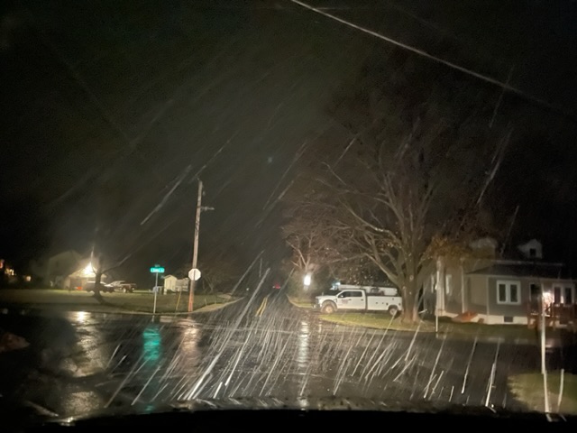
I actually went to chase this little event that night at a higher elevation and this is what I saw. I was convinced that I was not going to see anything at my place. It turned out that I didn’t have to. In any case it lasted less than 15 minutes.
-
Check out the MSLP and 10m AGL winds for the 06z GFS at 192 hours on Pivotal. This run has something for everyone. Hurricane force winds, 972 SLP - even a sting jet feature. Fortunately these features are off shore.
-
FWIW the 0z ensembles of the CMC are markedly colder than the OP in terms of precip type for the event later next week- especially inland.
-
06z GFS is an HECS. This one would produce blizzard conditions and hurricane force winds in the offshore waters. Big stuff on this run of the GFS.
-
The CMC is going with rain on the coast and ice inland for the event later next week. The Euro is rain for most with ice well inland for this one. The GFS seems to be on it’s own with the big snows.
-
A year before that it was the turn of the CMC to produce the gigaweenie maps for the 1/31/21 event. Many places in northern NJ and the other northern and western suburbs received 24-30” from that one.
-
Well said. It amazes me the amount of posts that I see that are for events projected to be beyond the 5 day window. It’s just fiction.
-
A look at the surface winds during the course of this storm as shown on these models paints a revealing picture of why LI and most of NYC is mainly rain while the rain / snow line is right near the CT coast. As the event begins those surface winds are mainly from the east. That locks in the slightly milder air mass coming in from off the warm ocean. With time those winds do back around to north- northeast and north and increase. Only then can the BL cool enough in order for snow flakes to reach the surface. By then the heaviest precipitation has moved to the east. The only way this gets done sooner is if precipitation falls at much heavier rates. I saw this happen many times when I lived out on the island. For the sake of those of you out on the island hopefully this event evolves differently.
-
March 1993 was a triple phaser. I am not so sure that the presence of the warm pool off of the coast would have changed the track on that one.
-
18z GFS torches us for the middle part of next week.
-
76-77 was done by mid February. It was about 6 weeks of excitement.
-
I was out on LI last week. I was amazed by how much color was still on the trees and vegetation. In decades past this was done by second week of November.
-
In so far as LI goes you would need SST’s below 45 in order for the atmosphere (with cold or cooling temperatures aloft) to overcome onshore flow during a winter event.
-
It’s depicting an elevation event this run.
-
Thank you for your response. Do you know of a site where the output from these sites can be accessed in real time?
-
Chris - You mentioned the intensity of these echoes produced by Nemo. Most of the radar obs that we speak of relating to weather comes from the NWS network of Dual-Pol Doppler sites. The FAA also has a network of 80 radar sites (CARSR) around the country to serve its purposes. I have read that these sites have the capability to monitor the weather and report it in the NWS six level format. Do you know how the functionality of these sites/equipment compares to that of the NWS?
-
Regarding your second point those that are looking for snowstorms need to look at the last two runs of the CFS on Pivotal (snow depth).

