snowfan
-
Posts
9,376 -
Joined
-
Last visited
Content Type
Profiles
Blogs
Forums
American Weather
Media Demo
Store
Gallery
Everything posted by snowfan
-
Next few weeks are not totally void of chances for snow, but looking kinda meh attm. CMC: Dry as a bone thru end of month. Avoids any significant warm ups, but def more mild at the end of next week. Euro: Cold to seasonable temps thru next week and then a warm up the first week of February. Also dry. GFS: Similar to the above re temps thru next week, then a mid winter thaw in early February. Next mon/tue could be interesting for some, but verbatim all winter precip is far away from the metro areas.
-
Here’s the breakdown of school days for AA Co in recent weeks. Also at 5 full days of school in the last month. Dec 21-Jan 1: Holiday Break Jan 6-8: Off for snow Jan 7-9: Late opening for snow Jan 16-17: Planned early dismissal for end of quarter Jan 20: Off for MLK Day Jan 21: Planned day off for winter break
-
Lowest reliable temp I can find is -16 at Canaan NWR. Got to 11 imby.
-
That’s long wave infrared and the darker colors = colder surfaces resulting from the deeper snowfall.
-
Just got in from a day out in Canaan and blackwater falls. Lowest temp was -1. WCs around -20 with snow showers off and on.


-
1/19/25: .5” season total: 9.75”
-

1/19 - The Roulette Wheel 29 Black Storm - OBS
snowfan replied to DDweatherman's topic in Mid Atlantic
Nuke job in canaan
-
1/19 - The Roulette Wheel 29 Black Storm - OBS
snowfan replied to DDweatherman's topic in Mid Atlantic
-
1/19 - The Roulette Wheel 29 Black Storm - OBS
snowfan replied to DDweatherman's topic in Mid Atlantic
Mostly SNPL imby after a brief period of light rain. -
1/19 - The Roulette Wheel 29 Black Storm - OBS
snowfan replied to DDweatherman's topic in Mid Atlantic
This is like an in game thread for your favorite team when they’re losing. So much negativity making it hard to enjoy reading obs. -
1/19 - The Roulette Wheel 29 Black Storm - OBS
snowfan replied to DDweatherman's topic in Mid Atlantic
Will has so many saved snow map images he’s starting to mix them up. -
1/19 - The Roulette Wheel 29 Black Storm - OBS
snowfan replied to DDweatherman's topic in Mid Atlantic
These type of events always seem to be a good test of one’s mindset. I just want a nice covering of the white stuff before the arctic air arrives. -
1/19 - The Roulette Wheel 29 Black Storm - OBS
snowfan replied to DDweatherman's topic in Mid Atlantic
Every time you post the rap there’s a giant ass share symbol in the image. -
1/19 - The Roulette Wheel 29 Black Storm - OBS
snowfan replied to DDweatherman's topic in Mid Atlantic
32 off a high of 42. -
-
Why would you post that bullshit?
-
Very good. A little chocolate, a little coffee. Definitely a sipper.
-
MFer, you haven’t seen a 1-3 clipper in leesburg in ages.
-
I just picked up their peanut butter weekend today.
-
New graphic for you.
-
-
-
-
-
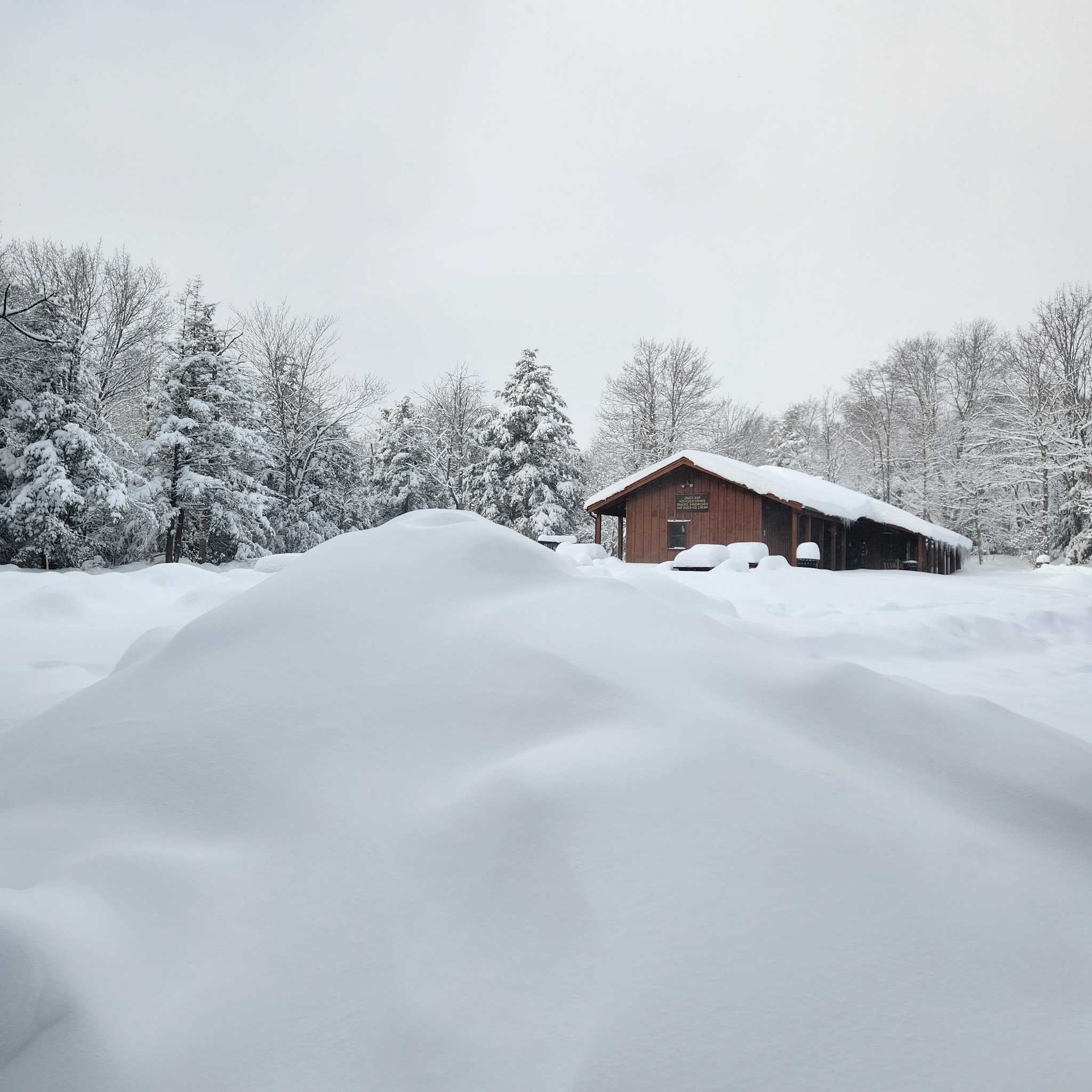
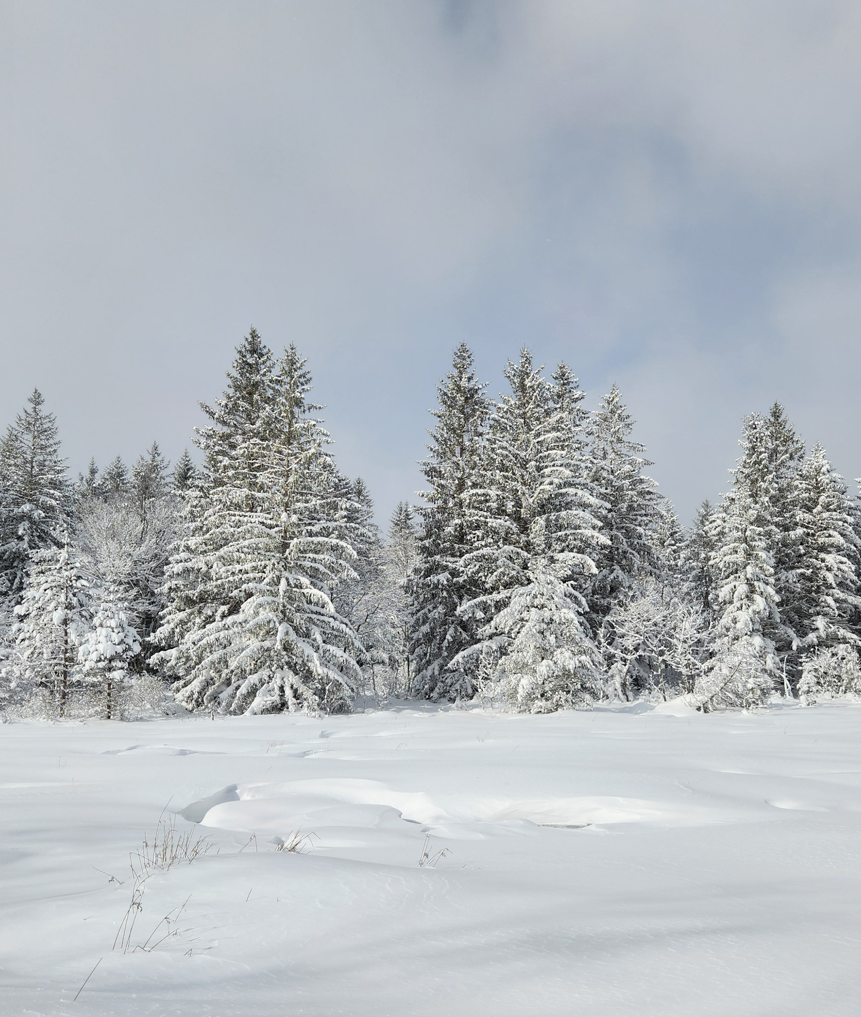
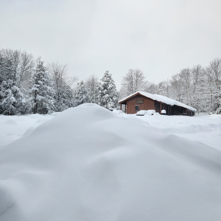
Car topper imby.