mob1
-
Posts
2,776 -
Joined
-
Last visited
Content Type
Profiles
Blogs
Forums
American Weather
Media Demo
Store
Gallery
Everything posted by mob1
-
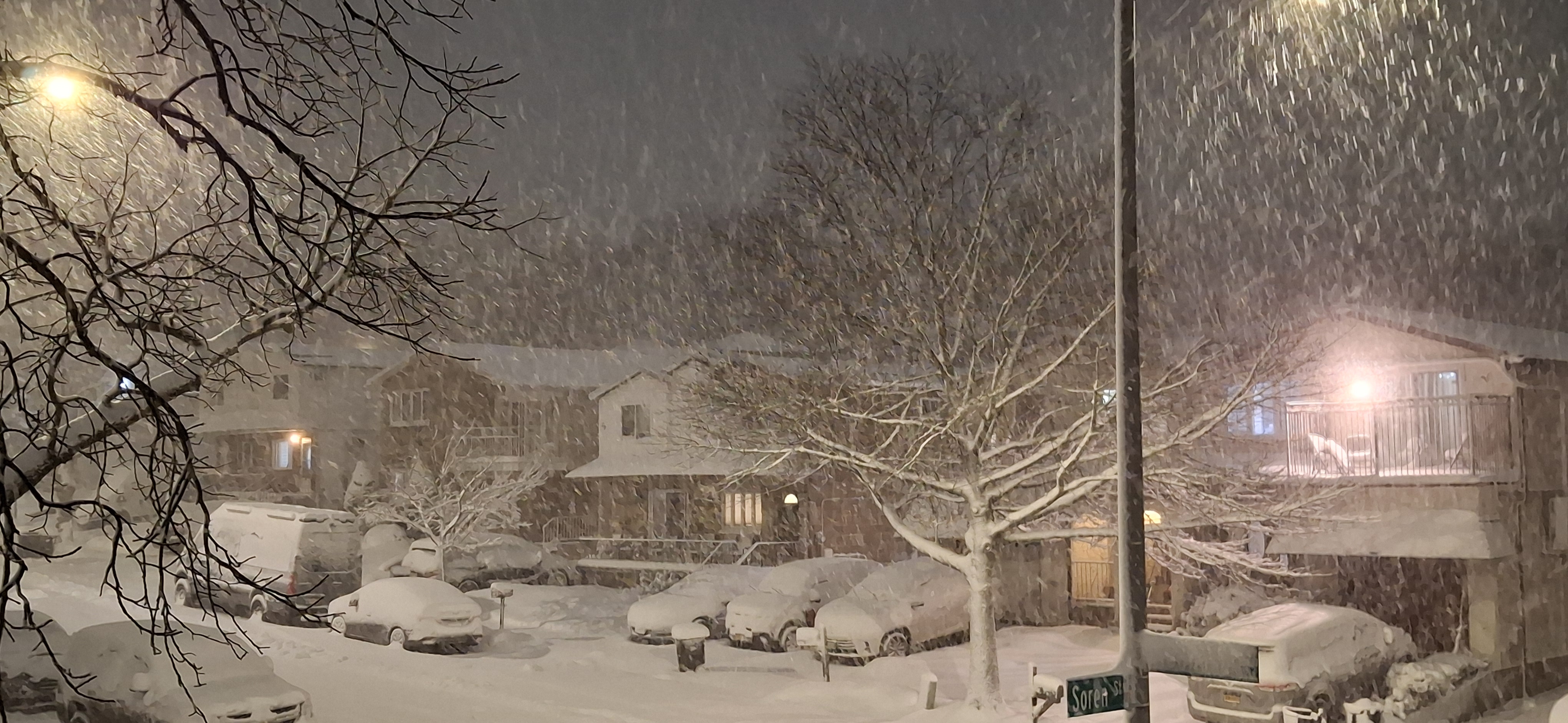
Just gave it a shot and came up with an average of 16.2". Should easily get to 18.
-
Nice! I'm probably close to 11 now.
-
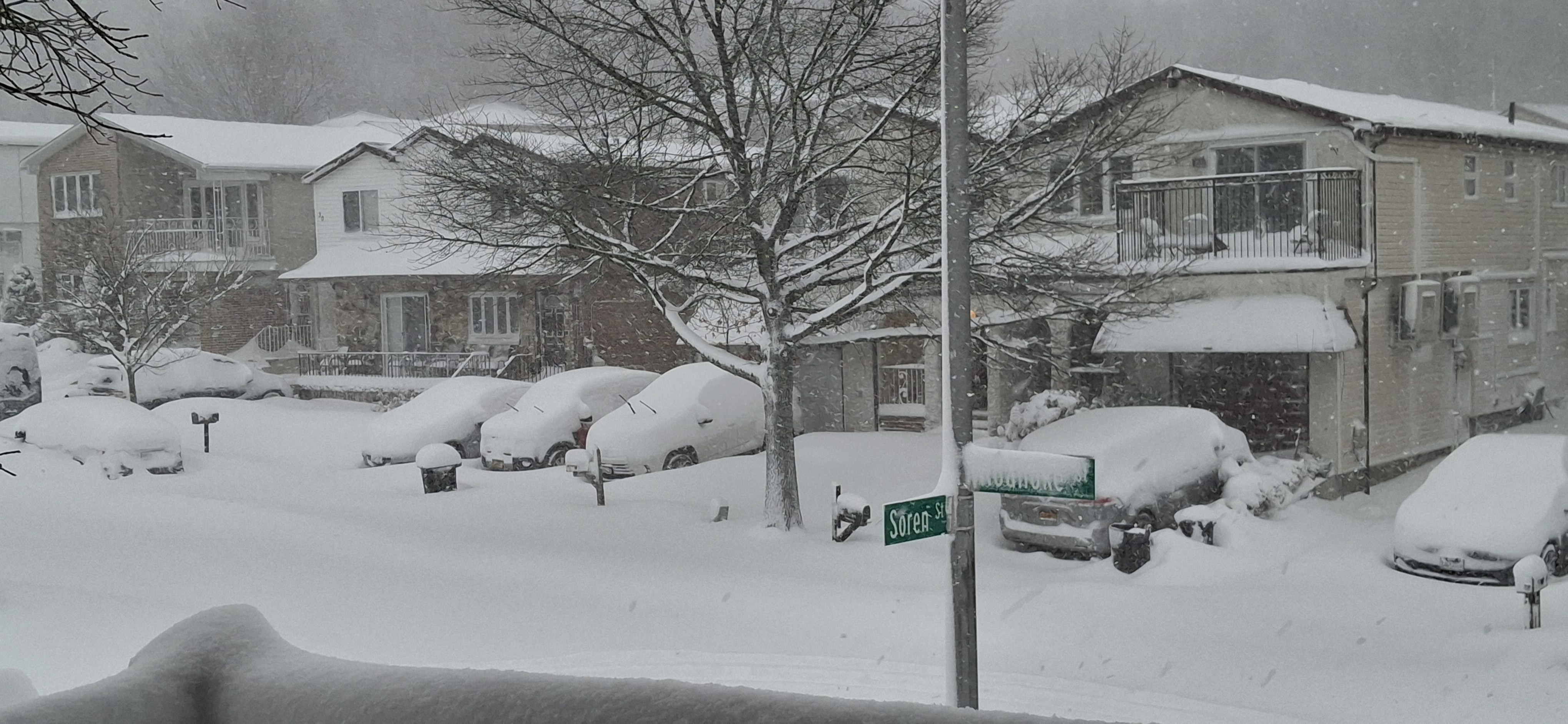
If you want to live vicariously through me, I have about 8" in the last 4 hours (Staten Island in NYC) and am under one of the heaviest snow bands I've seen in a while.
-
This is wild. Closing in on 8 inches.
-
You should be under that crazy band now, how is it? I'm next in line.
-
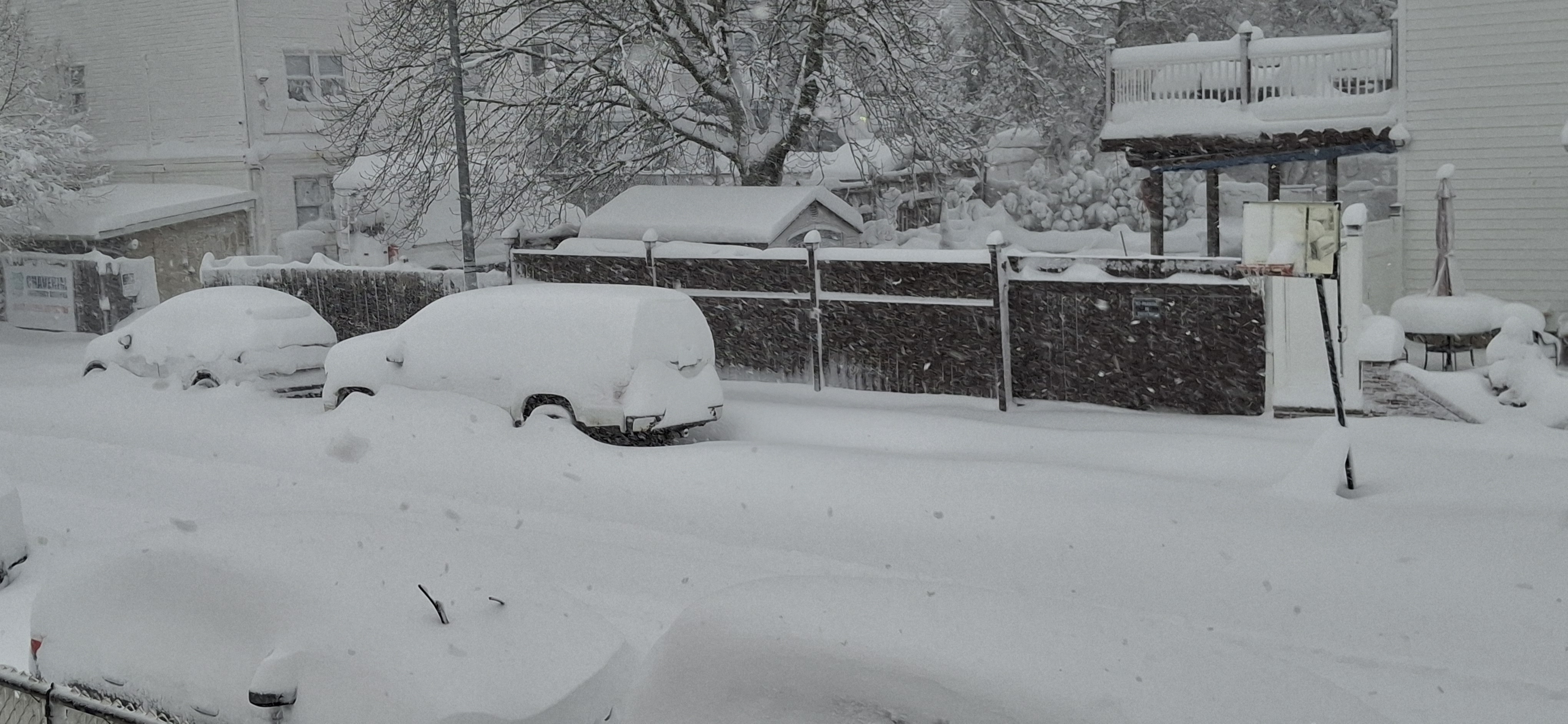
I might reach double digits after this band moves through (at 6 now)
-
Radar returns look soooooo much better southwest of DC over the last 30 minutes.
-
Roughly
-
I think it's also a solid uptick from 18Z
-
Easy now...
-
Not as wet as you think (verbatim).
-
RGEM was kind of meh (relative to my new expectations )
-
Easy come, easy go This better materialize, I can't waste this euphoric feeling on digital snow.
-
I literally can't believe my eyes. Good God!
-
That's 12Z
-
Awesome trend on the RGEM as well
-
I went from 0.000000000 to about 10 inches on the NAM. Pretty wild for a storm 60 hours out.
-
They sometimes hoist blizzard warnings in the plains just for blowing snow, even if there's nothing falling.
-
This looks good...
-
Backside energy is sharpening the trough quickly at 54, looks decent so far.
-
Ridge axis is further west on the NAM but the trough is also a bit broader.
-
Snow moves into the city proper at hour 78. Very nice start to the 0Z suite.
-
If we can clean up that funky lead energy that is elongating things to the east initially, we'd really be in business. A massive improvement overall as it is.