Voyager
-
Posts
13,318 -
Joined
Content Type
Profiles
Blogs
Forums
American Weather
Media Demo
Store
Gallery
Everything posted by Voyager
-

Central PA Spring 2026 Discussion/Obs Thread
Voyager replied to Voyager's topic in Upstate New York/Pennsylvania
Got some rain here in Hazleton, but it looks like the show (if there is one) is staying south of Tamaqua as of right now. -
Central PA Spring 2026 Discussion/Obs Thread
Voyager replied to Voyager's topic in Upstate New York/Pennsylvania
Starting to look threatening to my west. One more load to do, but I don't think I'm going to beat the storms. Probably gonna get wet either loading or unloading the last one.
-
Central PA Spring 2026 Discussion/Obs Thread
Voyager replied to Voyager's topic in Upstate New York/Pennsylvania
Strange but yes...lol -
Central PA Spring 2026 Discussion/Obs Thread
Voyager replied to Voyager's topic in Upstate New York/Pennsylvania
Still sunny and warm at my favorite place. Hazleton... -
Central PA Spring 2026 Discussion/Obs Thread
Voyager replied to Voyager's topic in Upstate New York/Pennsylvania
Here's mine. I've got a ton of choice words I probably shouldn't use on this forum... Saturday Showers. High near 52. Chance of precipitation is 90%. -
Central PA Spring 2026 Discussion/Obs Thread
Voyager replied to Voyager's topic in Upstate New York/Pennsylvania
Yes. If I'm having a pool or beach weekend (rare for me anymore) then I prefer 90 degree weather. -
Central PA Spring 2026 Discussion/Obs Thread
Voyager replied to Voyager's topic in Upstate New York/Pennsylvania
I'm finding out my thyroid is affecting the way my body handles both cold and hot extremes now. This heat is a little rough. 70s to low 80s are perfect. -
Central PA Spring 2026 Discussion/Obs Thread
Voyager replied to Voyager's topic in Upstate New York/Pennsylvania
Indeed... But...it's hard to get excited about the summer like weather when the forecast high for Saturday drops all the way down to 58 with mid 40's lows again. -
Central PA Spring 2026 Discussion/Obs Thread
Voyager replied to Voyager's topic in Upstate New York/Pennsylvania
Yesterday's Tamaqua high was 94 degrees. -
Central PA Spring 2026 Discussion/Obs Thread
Voyager replied to Voyager's topic in Upstate New York/Pennsylvania
58 here as well. Perfect! This is my kind of morning. Sad part is that by the end of the week/weekend. The lows are going back down into the mid 40's.......again. -
Central PA Spring 2026 Discussion/Obs Thread
Voyager replied to Voyager's topic in Upstate New York/Pennsylvania
Welcome to the summer of 2026. -
Central PA Spring 2026 Discussion/Obs Thread
Voyager replied to Voyager's topic in Upstate New York/Pennsylvania
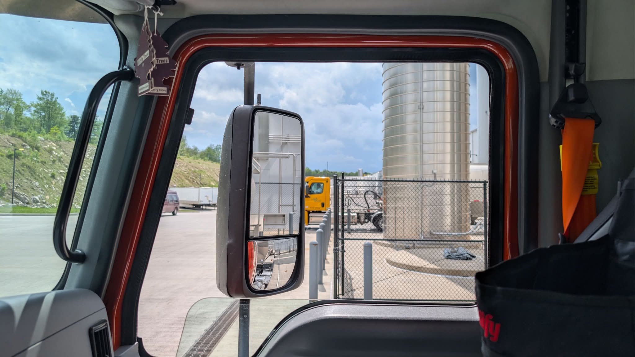
I got stuck doing Hazleton loads yesterday. That godforsaken place has a whole different climate from even Tamaqua. Save for a brief period of sunshine, it was mostly overcast and windy up there, and I had to wear my hoodie almost all day. I checked the local stations and it didn't get above 60 the whole time I was up there. The Hazleton climate is the main reason why I hate delivering to that customer. -
Central PA Spring 2026 Discussion/Obs Thread
Voyager replied to Voyager's topic in Upstate New York/Pennsylvania
I said it a couple weeks ago, and here it is. I truly believe we're going to have a roller coaster summer of heat for a few days, then a period of much below temps, then warm up, then go 'cold" again... Friday Partly sunny, with a high near 67. -
Central PA Spring 2026 Discussion/Obs Thread
Voyager replied to Voyager's topic in Upstate New York/Pennsylvania
The bolded part is what makes me bitch and moan. I'm tired of the wild 30 degree temperature swings. From here on out, I'd like to see the cooler periods hold in the 70's, not drop back into the 50's (like yesterday) and 60's. -
Central PA Spring 2026 Discussion/Obs Thread
Voyager replied to Voyager's topic in Upstate New York/Pennsylvania
Kind of breezy and cold here this morning. It's 47 currently, but the wind has a bite to it. -
Central PA Spring 2026 Discussion/Obs Thread
Voyager replied to Voyager's topic in Upstate New York/Pennsylvania
Probably be a 30 degree swing between next week and the end of the month and Memorial Day ends up being 65 and cloudy...lol -
Central PA Spring 2026 Discussion/Obs Thread
Voyager replied to Voyager's topic in Upstate New York/Pennsylvania
Getting good boomer and rainer here right now... -
E PA/NJ/DE Spring 2026 Obs/Discussion
Voyager replied to PhiEaglesfan712's topic in Philadelphia Region
I mentioned this in the Central PA forum when I got blasted for complaining about the cold spells. The huge swings in temps are annoying. -
Central PA Spring 2026 Discussion/Obs Thread
Voyager replied to Voyager's topic in Upstate New York/Pennsylvania
I can handle a solid rainy day, but multiple days of easterly fetches and drizzle makes me want to drive my truck off a bridge... -
Central PA Spring 2026 Discussion/Obs Thread
Voyager replied to Voyager's topic in Upstate New York/Pennsylvania
Well, this escalated quickly! Saturday Mostly sunny, with a high near 77. Saturday Night Partly cloudy, with a low around 55. Sunday Sunny, with a high near 82. Sunday Night Partly cloudy, with a low around 56. Monday Mostly sunny, with a high near 87. -
Central PA Spring 2026 Discussion/Obs Thread
Voyager replied to Voyager's topic in Upstate New York/Pennsylvania
It's strange how our human bodies work differently. The older I get, the more I despise the cold. When I was young, I didn't mind it, but as I got older I started to dislike it. Now I flat out hate it. If it's really cold, it can be downright painful, but in general, I just hate bundling up anymore, and love the freedom of a short sleeve shirt and shorts/jeans. As for the snow and ice, that's a trucking thing. If I worked inside and just had a to and from work commute, I'd probably somewhat like snow -
Central PA Spring 2026 Discussion/Obs Thread
Voyager replied to Voyager's topic in Upstate New York/Pennsylvania
Different story up here. With a high of only 66, it was more of a damp feeling than a humid one. Borderline jacket weather for me. As for rain, only 0.01" so far. -
Central PA Spring 2026 Discussion/Obs Thread
Voyager replied to Voyager's topic in Upstate New York/Pennsylvania
Yup. It's getting quite old... And yet ANOTHER semi crappy weekend day today. Chilly, damp and drizzly. -
Central PA Spring 2026 Discussion/Obs Thread
Voyager replied to Voyager's topic in Upstate New York/Pennsylvania
Got a surprise shower with some thunder a few minutes ago (4:30AM). Picked up 0.02"...lol -
Central PA Spring 2026 Discussion/Obs Thread
Voyager replied to Voyager's topic in Upstate New York/Pennsylvania
This is true. It's much cooler in Tamaqua, then adding in that a lot of my work puts me in Hazleton, which is even colder than Tamaqua, and you can see my frustration. Also, a malfunctioning thyroid makes me even more cold intolerant, and there you have it. A perfect recipe for complaining. So I too will apologize. Perhaps I need to tone it down and respect other folks' likes and preferences.