

Burghblizz
-
Posts
1,525 -
Joined
-
Last visited
Content Type
Profiles
Blogs
Forums
American Weather
Media Demo
Store
Gallery
Posts posted by Burghblizz
-
-
32 minutes ago, Superstorm said:
I travel for my job throughout the Northeast and Mid Atlantic, and it lets me be witness to many snowstorms that I would miss being in Lancaster.
I have been through the November 2014 Lake Effect event in the Buffalo area and the February 2013 snowstorm in Connecticut (reports of 8” per hour).
Maybe just me, but there is nothing like a snowstorm in your own backyard.
.Part of me thinks that if I’m traveling, I’d rather still have the storm back home (and miss it) versus getting it on the road somewhere.
(obviously, nothing beats actually experiencing it in your backyard)
-
 2
2
-
-
7 minutes ago, north pgh said:
Let’s hope it’s a trend. This model is currently on its own.
UK has a good hit too.
There is a bunch of ice on that GFS. Would be high impact taken literally.
-
UK south AF. Much better look.
-
2
-
-
9 minutes ago, north pgh said:


Taken literally, I’m like 20 miles from the foot line, but yeah, not a fan of that look.
-
7 minutes ago, Ahoff said:
Oh God. Don't drag me in yet. Still too far, lol.
The trends look positive though.
The bulk of the rest is north. If GFS rejoins south by tonight, I’ll be dragged in
-
6 minutes ago, Rd9108 said:
Some thoughts from a PGH met on another forum
I would be very cautious with the current GFS solution for a couple reasons:
1) It is more than a day faster with this follow up wave compared to all other guidance, which fits into its bias of being way too progressive with disturbances.
2) It does not do a good job at all with handling the impact of low-level cold.
Euro looking good, so good to have a model without a SE bias on board.. Going to take some threading the needle.
-
Never like being on the southern end of the good stuff
-
1 hour ago, KPITSnow said:
If you guys think i’m bad there are dudes in the NE threads complainig about 10-15 inches sorry well as many in NYC complaining about 10+.
dony forget too those areas pretty consistently see huge storms…16 inches last year was NYC’s 17th biggest total ever and would rank 6th here.
You’d be complaining about the going almost a year between inches (like Boston almost did) or 1/2” winters (like Philly just had.

HALF of those NYC storms happened in the last 20 years. I’m not sure if it’s a remarkable stretch of luck, or a product of climate change. Probably a little of both.
Its also all relative. I complained a little about a foot in ‘96, knowing how close it was to being much bigger.
Our NWS list is a little understated for big storms, if you draw the line at 16”. Most areas also had 16”+ in ‘03 and ‘94 as well. And 30ish” in ‘78 that was really back to back over 4 days.
We fixed the 8-12” drought with some nice ones lately. Been 12 years for 16+. I think it’s time, but enjoy what you got until then
-
1 minute ago, TimB84 said:
Suppose the NWS predicted you’d end up with a foot of snow but you got 9” mixed with a little bit of sleet. Would you complain about it for upwards of a week?
We’ve never seen that

-
 2
2
-
-
4 minutes ago, Itstrainingtime said:
Let's be completely honest here - if you woke up with CTP forecasting 30-40" for you, and saw it was reduced to 12-18" a few hours later...I think you'd not be on the "I would take it for sure" campaign.
")
NWS for Boston has been in that 12-18” range. Maybe just recently bumped to 18-24”. So I think that’s just models zeroing in on reality
Weenies will Weenie, but 30” to 40” was just model runs (and maybe the 10% NWS high end potential map)
-
7 minutes ago, north pgh said:
Who was expecting 1-2 inches of fresh powder this morning?

Looks like it has a little more water content than the past few snows - so really nice morning with a freshened up snow pack and it clinging to the trees
-
On 1/18/2022 at 6:26 PM, dj3 said:
Thar should work.
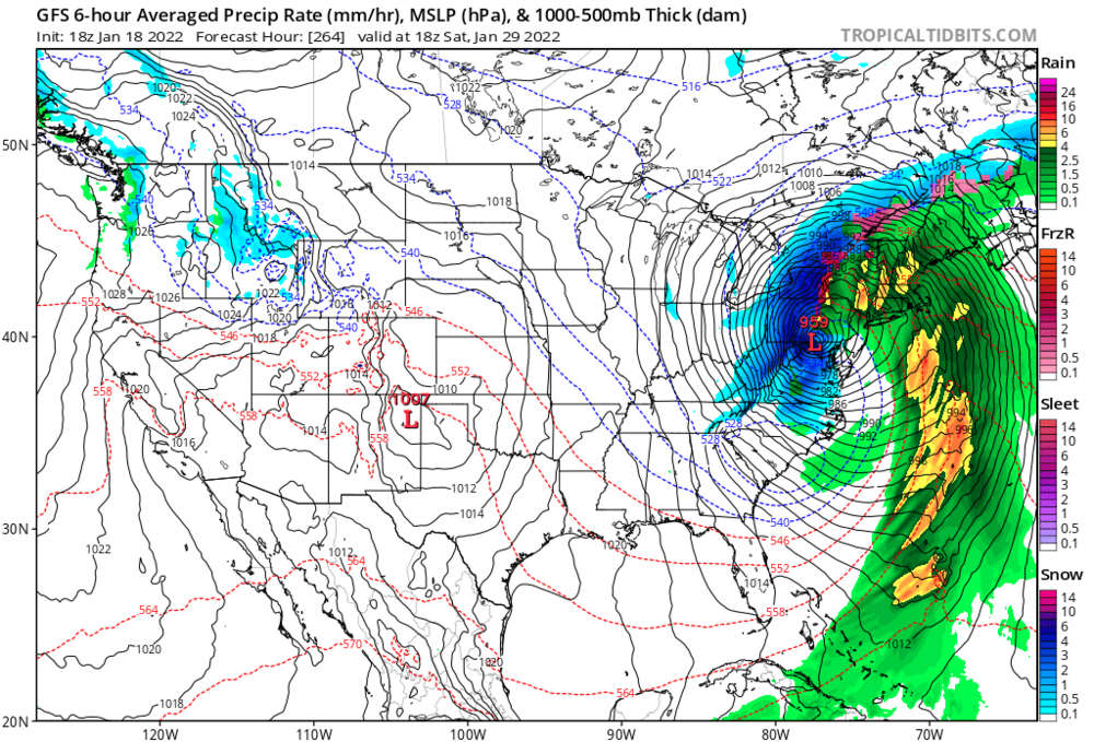
It’s crazy how the GFS had this 10+ days out to the day, and with intensity not far off. It was never our storm as it got in a more realistic range, but it was always on the map.
-
4
-
-
Got to -9 IMBY.
-
1
-
-
1 hour ago, KPITSnow said:
Look, I complain, but my area has had like 1 storm in the past decade that surpassed a foot. How many has DC had?
We quite literally just had DCs annual snowfall in the last 9 days. People in my neighborhood are running out of places to put it. And 3 9-12” storms in 4 years, and like 8 6” storms in 4 years
But go ahead. Move a mile from DCA. Post often.
Or go to Columbus. They ain’t seen 6” in 6 years.
-
1
-
-
11 minutes ago, Festus said:
Same shit...different day. Except DP is 19 now. Too funny. Is anyone getting anything from this so far? What's moving through Pittsburg right now doesn't look too bad.
Probably won’t produce the 2-4” that yesterday’s did here, but maybe another 1-2”. Just had a heavier burst winding down. Might crack 15” in the last 8 days, so no complaints.
-
4
-
-
15 minutes ago, Rd9108 said:
Yeah we need a lot of help if we want this storm. Honestly give out east the storm instead of coming far enough west to fringe us but not give us anything significant. CMC has a bomb that crushes i95. I'll laugh if the 12z euro shows an inland runner just to troll the Mid-Atlantic and 95 guys.
CMC looks like it wants to blow it up and maybe even retrograde it, which could still put us in the game.
-
Officially about 13” since last Sunday. If we didn’t have the one warm day in the middle of last week, we’d have a pretty stellar snow pack. Still looking forward to another nice afternoon. See if we can tack on another 2 or 3.
-
2 hours ago, Rd9108 said:
Our last 12+ storm was this guy back in march 2018. Still plenty of winter to go

The 12.20 storm had more widespread 12” totals, even if the official total was less.
-
47 minutes ago, Ahoff said:
No, they can’t, lol.
Not even close. A 9” storm when u have a forecast of 6” to 12” is not a bust. 1.19 had a similar forecast with almost no snow.
-
1
-
-
35 minutes ago, TimB84 said:
Jesus, this thread today is virtually unreadable. All I wanted to know was how this clipper worked out while I’m out of town and it looks like this went from basically a non-event when I left on Friday to a solid clipper putting down a couple to maybe a few inches. It’s hard to see how something like this would “bust” unless the ground truth ended up being a coating or something in that range, which it didn’t.
Because of one guy. Who needs to not @ me, but instead go to the complaint thread. No one wants to hear that shit anymore.
It was a fantastic winter day. 3.1” officially, with a lot of 3-4” reports. Some 5 and 6” reports in Beaver and Butler county. Some 2” reports to the south and some of the lower elevations around the city.
-
3
-
 1
1
-
-
Rates were diminishing the last couple hours, but just started cranking as the back end is coming. Right around 3.5” at the moment
-
2 minutes ago, SteelCity87 said:
We had a 10" storm in 2018 also. Nearly three 10" storms in the last 4 winters alone
Yeah - 11” in March 2018. That was a nice overproducer. Not quite the impact of the 12.20 storm, but nice prolonged snow if I recall.
-
2 minutes ago, Ahoff said:
Lol. I don’t think you live in the area then. You always seem to have no snow when everybody else has a lot. That’s something wild.
Agree. I’ve come to that conclusion this year too. Almost like a Philly cat trolling - sick of their rain and the Flyers losing
-
2
-
-
11 minutes ago, TheClimateChanger said:
We've already had 2.5-3 inches?
Definitely North and West. I just measured 2.5”. Reports of 4” already in New Castle.

Western PA/Pittsburgh Winter 2021/22 Discussion
in Upstate New York/Pennsylvania
Posted
Quite a conveyor belt of moisture with this. And these waves don’t look overly strong.
It I had to guess, Youngstown does much better than us as far as straight snow, but it really is just a timing issue to get us in the really good stuff.