

NorthShoreWx
-
Posts
5,434 -
Joined
-
Last visited
Content Type
Profiles
Blogs
Forums
American Weather
Media Demo
Store
Gallery
Everything posted by NorthShoreWx
-
0.3" snowfall in Smithtown this morning. Brings the season total to a whopping 0.9"
-
Starting to coat the street and driveways now. January shutout avoided.
-
32⁰ with light snow falling. Snow has gotten a little heavier and there is a light coating on unpaved surfaced. Judging from radar, we are about to avoid a January shutout. It's the little things in life...
-
Light snow here
-
The DJF thought occurred to me after I posted, but for some reason I couldn't edit the post from my phone. The trend line did look reasonable.
-
My understanding is that since 2015 is has reverted back and it's supposed to be the peak depth of accumulated new snow in a 24 hour period. I recognize that may not be happening at at least some airports, but the apples to crabapples comparison also applies within the set of contemporary snowfall measurements.
-
The underlying data in that chart looks suspect. Just one easy example, January average mean in 1977 was 22⁰. 1918 may have been the coldest, but it was a lot colder than 26⁰. I'm not sure if the average max that year was that high. Not arguing with the trend line, but this looks off.
-
Was wondering where he is now. I hope he's ok.
-
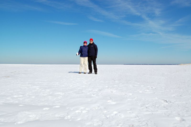
I can still remember ice. Mrs and me on Long Island Sound, 2015:
-
We used to head down to the ocean beaches. No matter if July or August, it was always a shock getting into that cold water. Of course we were kids, so once in the water it was hard to get us out no matter how much we were shivering.
-
N Smithtown rainfall for yesterday's event was 1.52". We had a mix of snow and rain for a couple of hours. Briefly mostly snow, but very wet. Temp fell from 42 to 36 during the mixed precip then maxed at 56 shortly before 1am this morning.
-
There were a few main theories. Another was some kind of pathogen. The water warming is probably what prevents recovery.
-
When I was a kid there was a significant Long Island Sound lobster business. Now they're even struggling in Maine.
-
That location on Rt 16 is at about 500 feet. The base of Mount Cranmore (summit approx 1700 feet ) is about a half mile east of there. Really pounding up at Wildcat: https://www.skiwildcat.com/the-mountain/mountain-conditions/mountain-cams.aspx
-
The NY forum was even worse then than it is now. The next snow chance in the Old Farmers Almanac was always in the 10 day range. I suspect the great depression didn't help with the mood either.
-
They'll blow snow on Superstar in April if they have too.
-
I'm going with a persistence forecast. Persistence tells me that something that probably hasn't happened in 1000 years, probably won't happen this year. Meanwhile:
-
If the snow added up a fraction as much as the NY ennui, we'd be in business. It's often more monotonous than the weather. Steady light snow continues. Temp stuck at 35°
-
Southwest CT coast has been in a hole evidenced by radar. Legit light snow here for the past half hour. Nice flakes. Not sticking. 35° White rain = mostly to nearly completely melted snowflakes reaching the ground.
-
Light snow started in N. Smithtown at 1:05pm. 35.7°
-
0.91" rainfall as of 11:15am
-
Big difference between the 3k and 12k NAM snow maps on TT.
-
As a kid in the autumn of 1977, I predicted a snowstorm for February 6. My orthodontist had asked me when it was going to snow. He remembered the prediction when it actually happened. I didn't know squat, I just liked that date.
-
Ugh!


