-
Posts
18,121 -
Joined
-
Last visited
Content Type
Profiles
Blogs
Forums
American Weather
Media Demo
Store
Gallery
Everything posted by michsnowfreak
-

Winter 2024-25 Medium/Long Range Discussion
michsnowfreak replied to michsnowfreak's topic in Lakes/Ohio Valley
Wayyy too far out to even guess p-type. Ensembles definitely like a swath of snow ~March 9th -
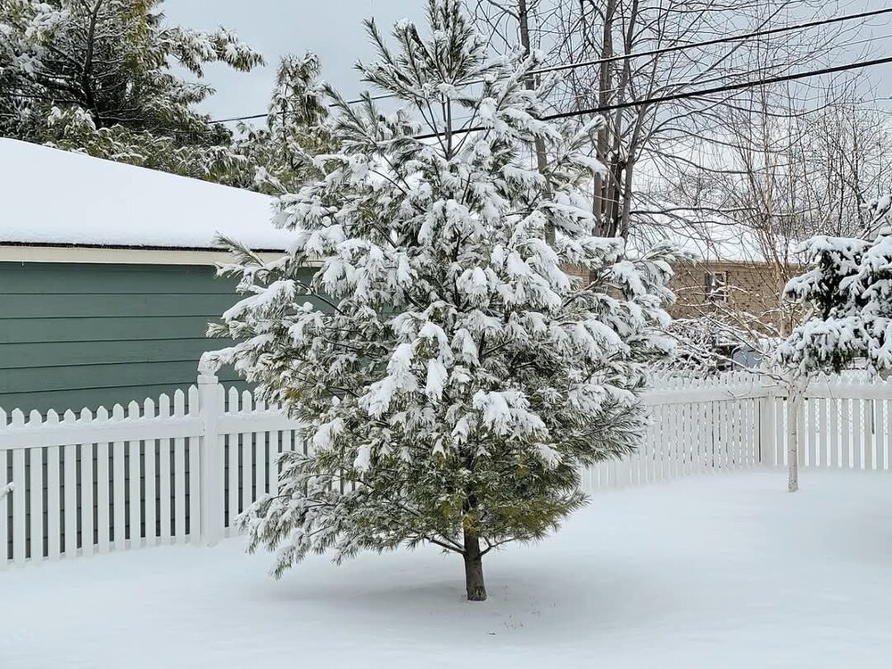
Had pillowcases falling from the sky earlier today, enough evap cooling for an hour or so of MASSIVE snowflakes (pic doesn't do justice). Picked up 0.6" of slushy snow here and 0.5" DTW. Pretty much a narrow area from Monroe and Adrian to Ann Arbor and DTW had the accumulating wet snow. North and South of there was just light rain, and the snow turned to light rain once intensity lightened. Season to date snowfall 27.5" here with 26.5" DTW. DTX earlier: A narrow band of heavy snow embedded within a broader band of rain will track across Metro Detroit over the next 1 to 2 hours. Where snow develops, large flakes may reduce visbility to less than 1 mile and lead to minor slushy accumulations. Temperatures will remain above freezing through the aftenoon, but heavy snow may still lead to some slick spots. Drivers should exercise caution.
-

Let’s talk winter!! Ohio and surrounding states!! 24'-25'
michsnowfreak replied to buckeye's topic in Lakes/Ohio Valley
It's nowhere near normal for Ohio, and it never has been. Columbus averages 27 days per winter with 1"+ snowdepth. Since 1948, there have been 12 winters with less than 10 days total of 1"+ snowcover, the least being just 3 days in the winter of 1949-50. Columbus has had just 5 winters since 1948 that have exceeded Detroits annual average of 1"+ snowcover days (49), and Detroit has never averaged snowcover without interruption all winter. -

Winter 2024-25 Medium/Long Range Discussion
michsnowfreak replied to michsnowfreak's topic in Lakes/Ohio Valley
There's 2 potential systems between March 5-10 before it warms up. -
Nice. Definitely reminds me of 2014 here
-
That's a good point. It's that awkward time of year where us snowcover lovers, barring a 2014 repeat, can kiss sustained snowpack goodbye, but you still have over 1.5 months of potential to get a good snowfall.
-
To each their own lol. Seeing lots of snow melt for 1 or 2 days of worthless warmth is not my bag.
-

Winter 2024-25 Medium/Long Range Discussion
michsnowfreak replied to michsnowfreak's topic in Lakes/Ohio Valley
Looks like some snow chances in early March, with the ensembles honing in at this early stage on the March 5-10 period, then warmth by mid-month. Never one to grade a winter until at least March is over, but what I can say about this winter is very clear: the cold and snowcover exceeded my expectations, and the snowfall & storminess fell short of my expectations. Would imply its floating in the C range at this time, will see what March brings. -
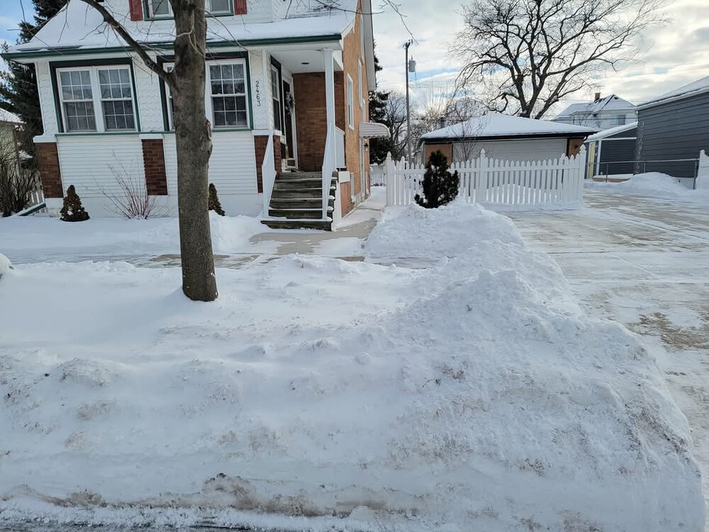
First 50F at DTW since Dec 28th. In 2 days it went from a complete deep winter look to just big dirty snowbanks, piles, puddles, and a few drifts/patches today. Was expected, but still sucks.
-
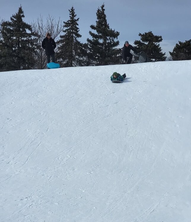
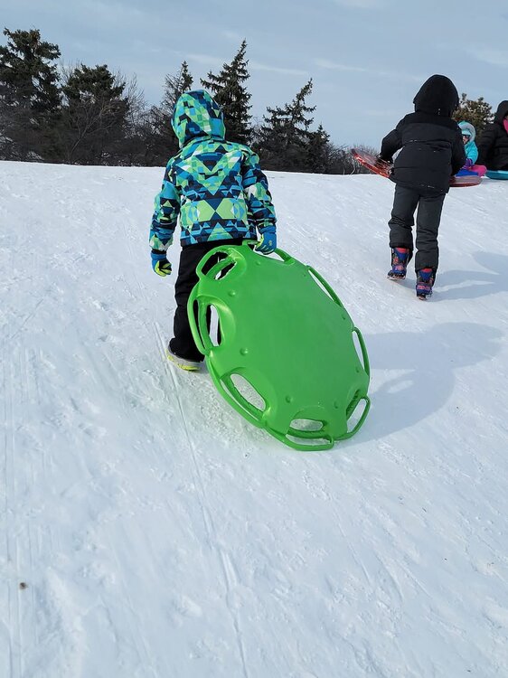
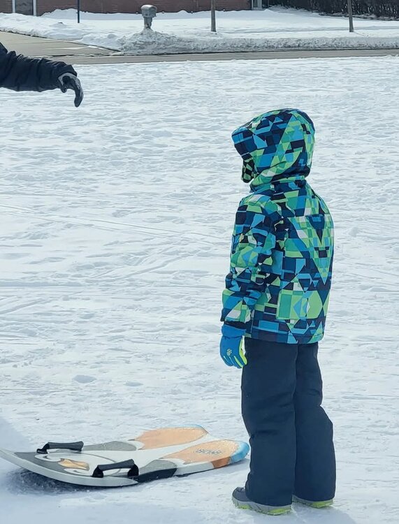
Went sledding yesterday, this time taking my 7 year old nephew to a bigger hill. Everyone had a blast. Not ready for winter to release its grip yet.
-

Fall/Winter '24 Banter and Complaints Go Here
michsnowfreak replied to IWXwx's topic in Lakes/Ohio Valley
Plenty of winter fun for me this season. From a nice blanket of snow/bitter cold when cutting down the Christmas tree to multiple hikes/sleddings/shovelings/photo ops/etc in Jan & Feb. That's not even taking into account my fun trip up north. In some recent mild winters, some have remarked that the snowfall total has looked "misleading" because it makes the winter look better than it was. I do see their point, but that's why I always say that's why there's stats for temps, liquid, snowfall, and snow depth. However using that logic I must say this is the first winter in I can't remember how long that the snowfall total makes it look worse than it's been. Plenty of cold, snowcover, and outdoor winter things to do for a winter that DTW has only logged 26.0" of snow thru 2/23. -
Haha and they love it. They "only" had 80" last winter and expect to crack 300" this winter. They are smack dab in one of the biggest Lake Superior snowbelts and it's their livelihood.
-
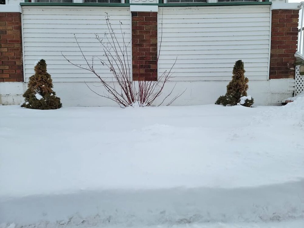
Still have a nice snowpack in SE MI. My season to date snowfall sits at 26.9" with 26.0" at DTW. Have definitely made the most out of the snowfall in terms of days with snow on the ground.
-
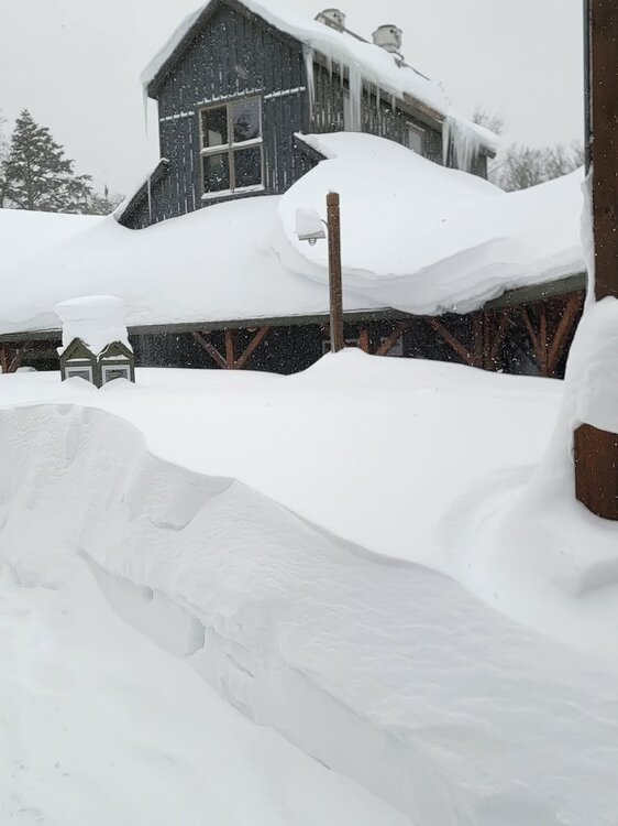
Had a great time up north. Snow deep everywhere, but especially in Paradise where it was 3 feet deep
-

Winter 2024-25 Medium/Long Range Discussion
michsnowfreak replied to michsnowfreak's topic in Lakes/Ohio Valley
It was march 1 1900 -
Up In Paradise on the shores of Lake Superior. The entire 5+ hour drive from home to here was a gorgeous winter wonderland of thick velvetty blanketed snow. Absolute deep winter throughout the entire state of Michigan! @beavis1729would love it. Actually was colder this morning (0 to below) in Detroit than up here (5-10 with LES). Several feet on the ground up here. Will send a few pics when I get home!
-
Had another 0.4" overnight. More lake squalls and blowing and drifting snow. Going to the upper peninsula for a few days of deep winter fun. This would be a fantastic beavis trip because from the entire drive from metro Detroit to the shores of Lake Superior is a beautiful thick blanket of white. Pics at home before leaving.
-
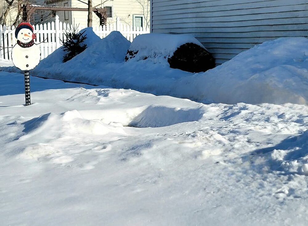
After a snowy week the bitter cold sets in. Arctic winds and blowing snow going on outside. Love winter nights lile this. With the combination of several snowfalls there are huge snowbanks everywhere. Even though the avg high has crept up to the mid 30s, its deep winter.
-

2/14-2/15 Potential Major Winter Storm
michsnowfreak replied to A-L-E-K's topic in Lakes/Ohio Valley
Just a dusting of lake effect snow here but no complaints. It looks like deep winter. -

2/14-2/15 Potential Major Winter Storm
michsnowfreak replied to A-L-E-K's topic in Lakes/Ohio Valley
Wow is that deepest in your memory? Post pics! -

2/14-2/15 Potential Major Winter Storm
michsnowfreak replied to A-L-E-K's topic in Lakes/Ohio Valley
3.2" today after 1.6" yesterday. So two day total 4.8" (season to date 25.5"). DTW had 3.0" today with 2 day total 4.6" (season to date 24.6"). Had already prepared for a bust when going to bed, so enjoyed waking up to a beautiful winter scene. Snow depth is a heavy 7" and lots of large snowbanks everywhere. Definitely deep winter.- 711 replies
-
- 10
-

-

2/14-2/15 Potential Major Winter Storm
michsnowfreak replied to A-L-E-K's topic in Lakes/Ohio Valley
5-7" for eastern counties. This is on top of a solid snowpack and big snowbanks already around. For all the talk of what a shitty winter it's been for many, it's gonna look pretty damn deep winter here. I'm actually going to the UP mon-thu so my week will be full of snow lol. Lessened qpf aside, one thing I like is that deformation zones often can overperform and have high ratios. -

2/14-2/15 Potential Major Winter Storm
michsnowfreak replied to A-L-E-K's topic in Lakes/Ohio Valley
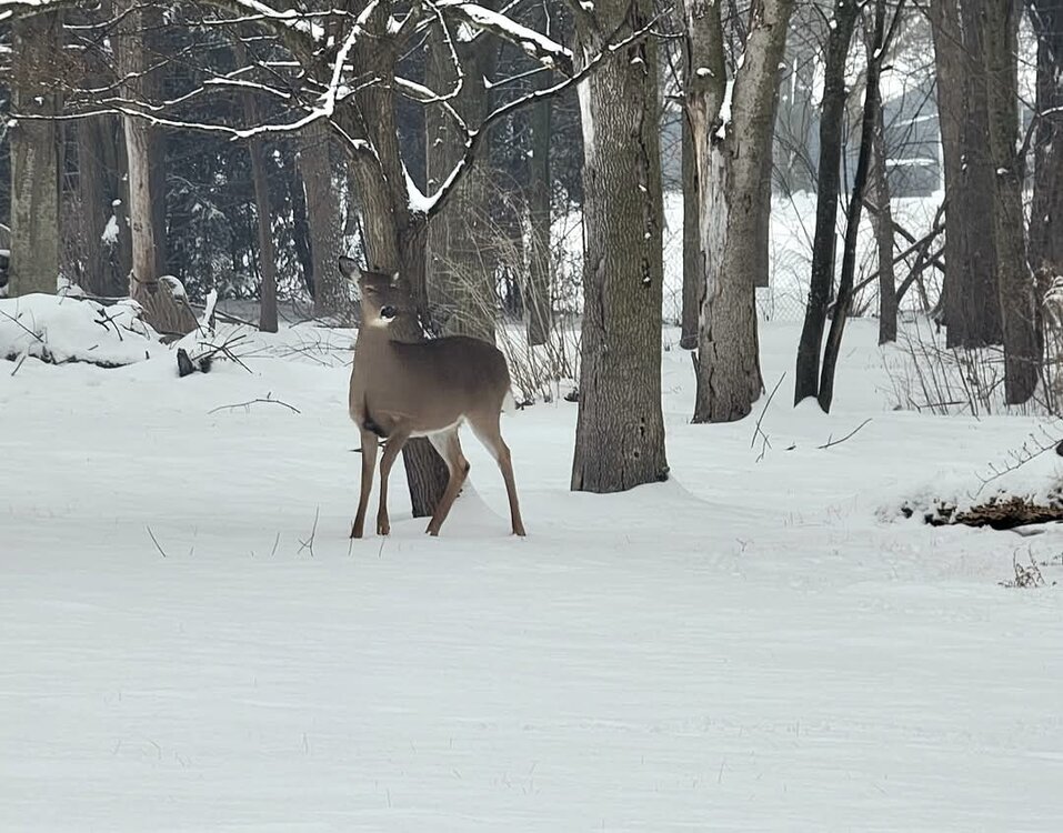
We got 1.6" with round one. It's very heavy with mist and drizzle afterward. Snowpack is now a very heavy 4-5". DTX going warning for far eastern counties tonight and tmrw for 5-7". Had someone watching me when I was at the park earlier... -
Awesome! Thank you!
-

2/14-2/15 Potential Major Winter Storm
michsnowfreak replied to A-L-E-K's topic in Lakes/Ohio Valley
Snowing very nicely here with round 1.


