Terpeast
-
Posts
6,754 -
Joined
-
Last visited
Content Type
Profiles
Blogs
Forums
American Weather
Media Demo
Store
Gallery
Everything posted by Terpeast
-
The Weekend Rule? Saturday 2/17 - The Icon Storm
Terpeast replied to DDweatherman's topic in Mid Atlantic
I’m tempted to have something to say about that, but after getting called out for being “too depressing”, I’ll just say that I’m soaking it all in right now -
The Weekend Rule? Saturday 2/17 - The Icon Storm
Terpeast replied to DDweatherman's topic in Mid Atlantic
Just went sledding with my daughter. Surprisingly good and fast! Happy to have gotten just enough for it and the rest doesn’t really matter -
Late Feb/March Medium/Long Range Discussion
Terpeast replied to WinterWxLuvr's topic in Mid Atlantic
That second January storm was the closest thing to cold smoke imby. Temp never got above 28 if I remember correctly -
Mid-Atlantic Snow Totals Thread - Winter 2023-2024
Terpeast replied to mattie g's topic in Mid Atlantic
12/11: 0.5” 1/1: T 1/6: 0.2" (sleet/snow mix) 1/15-16: 4.8” 1/19: 5.5” 2/13: 0.7” 2/17: 1.5” Season total: 13.2” -
The Weekend Rule? Saturday 2/17 - The Icon Storm
Terpeast replied to DDweatherman's topic in Mid Atlantic
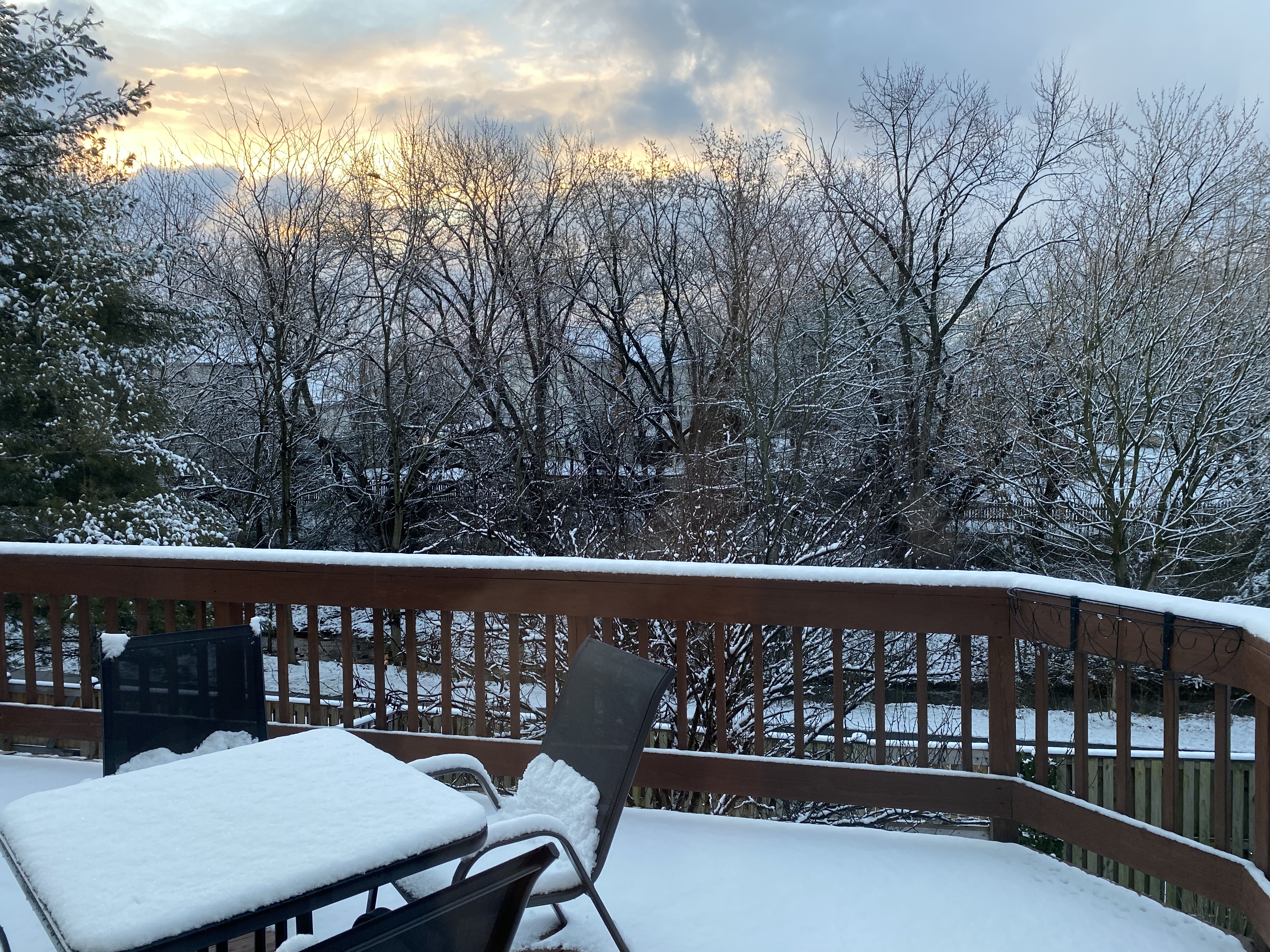
Final depth measurement 1.5”, even though quite a bit has melted since it stopped snowing. Might have gotten 2” of total snowfall, but I went to bed after my first measurement. So, 1.5” goes into my log. Still a beautiful wintry scene, I’ll make a coffee and enjoy it.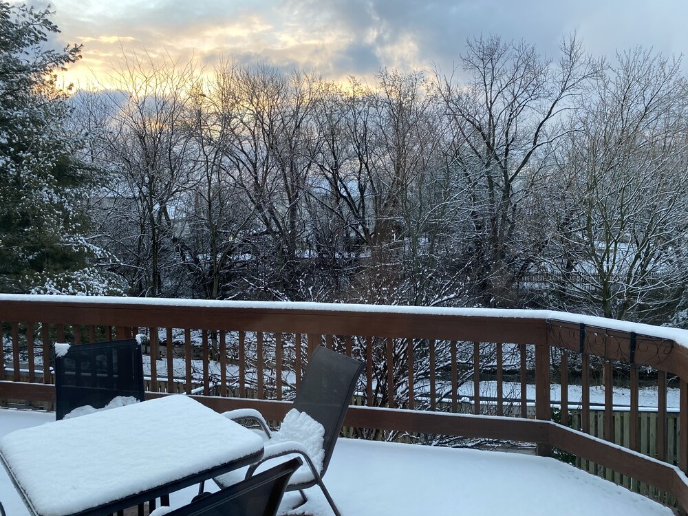
-
The Weekend Rule? Saturday 2/17 - The Icon Storm
Terpeast replied to DDweatherman's topic in Mid Atlantic
Still snowing heavily, everything is covered including pavement. May reach 2” before all done and I can go back to sleep. Looks maybe sleddable -
The Weekend Rule? Saturday 2/17 - The Icon Storm
Terpeast replied to DDweatherman's topic in Mid Atlantic
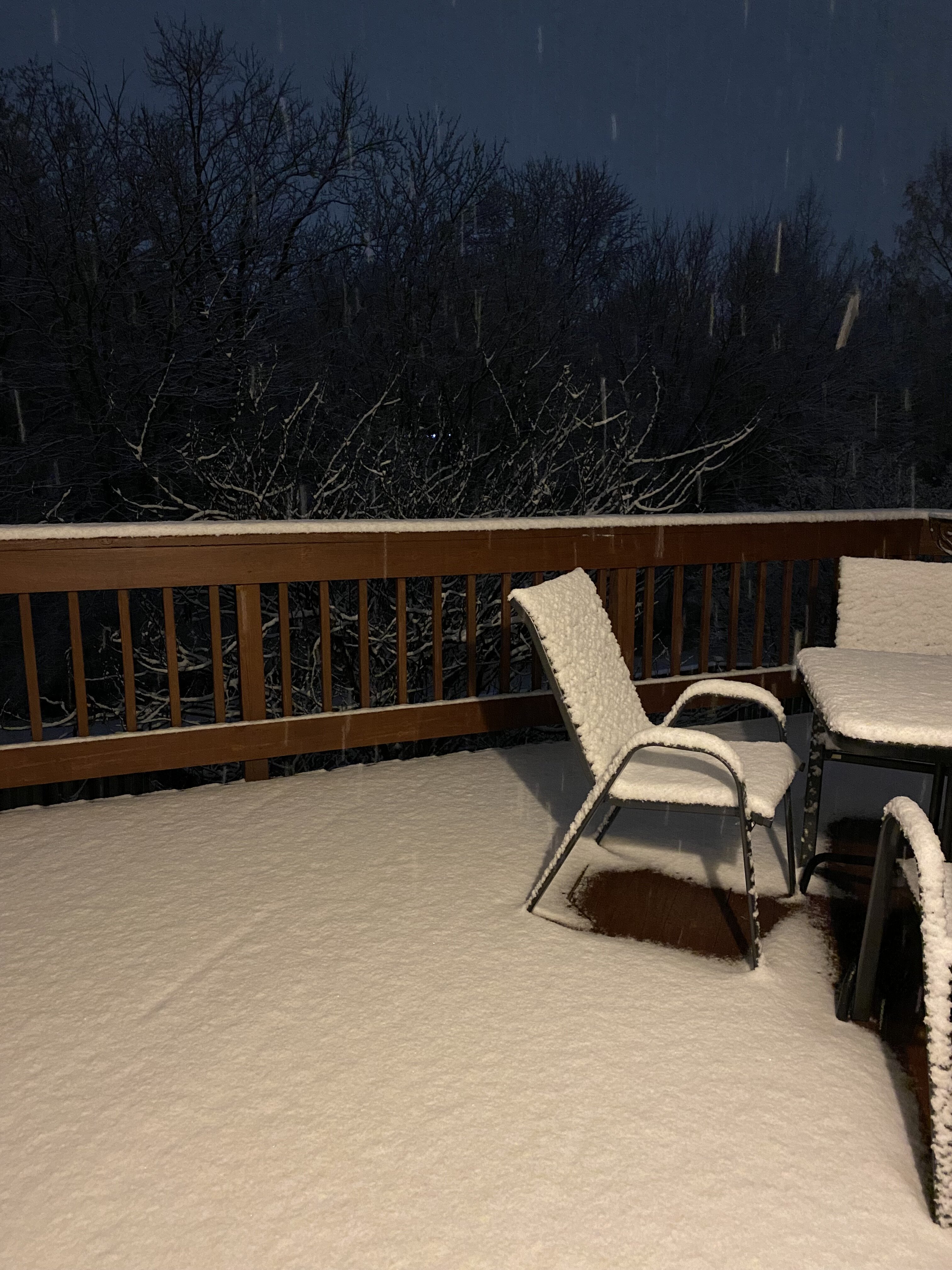
Didn’t take a pic of my measurement, but here’s the deck pic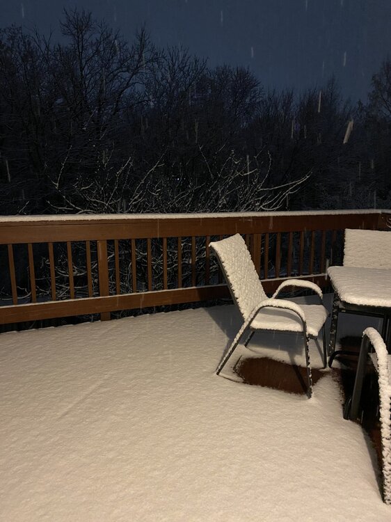
-
The Weekend Rule? Saturday 2/17 - The Icon Storm
Terpeast replied to DDweatherman's topic in Mid Atlantic
1.5” and snowing. 32/31.8 -
The Weekend Rule? Saturday 2/17 - The Icon Storm
Terpeast replied to DDweatherman's topic in Mid Atlantic
Holding at 40, dews still 18-20. -
The Weekend Rule? Saturday 2/17 - The Icon Storm
Terpeast replied to DDweatherman's topic in Mid Atlantic
40/23 -
The Weekend Rule? Saturday 2/17 - The Icon Storm
Terpeast replied to DDweatherman's topic in Mid Atlantic
No more model analyzing from me as per y’all’s request. My final guess for mby - 3” And sending good vibes with this. Good luck!
-
The Weekend Rule? Saturday 2/17 - The Icon Storm
Terpeast replied to DDweatherman's topic in Mid Atlantic
Can’t deny the trends. I’m hoping for the best just as much as the next guy -
The Weekend Rule? Saturday 2/17 - The Icon Storm
Terpeast replied to DDweatherman's topic in Mid Atlantic
I do like this euro run, as well as the gfs. The CAMs are showing pretty different outcomes. It’ll all come down to banding, which I think is more likely to set up north near the m/d line -
The Weekend Rule? Saturday 2/17 - The Icon Storm
Terpeast replied to DDweatherman's topic in Mid Atlantic
39/18. If I get rug pulled (which is increasingly likely) it won’t be because of temps -
Late Feb/March Medium/Long Range Discussion
Terpeast replied to WinterWxLuvr's topic in Mid Atlantic
That wasn’t my idea, it was 40/70 benchmark -
The Weekend Rule? Saturday 2/17 - The Icon Storm
Terpeast replied to DDweatherman's topic in Mid Atlantic
Maybe I was right to call out the north trend yesterday. Hopefully the good radar out west means still good qpf totals on the southern edge (which I hate to be in) -
The Weekend Rule? Saturday 2/17 - The Icon Storm
Terpeast replied to DDweatherman's topic in Mid Atlantic
40 now, dropping fast. Dews still 15 -
The Weekend Rule? Saturday 2/17 - The Icon Storm
Terpeast replied to DDweatherman's topic in Mid Atlantic
I’m right on the -9 line just inside the southern edge of the band 43/15 and falling -
The Weekend Rule? Saturday 2/17 - The Icon Storm
Terpeast replied to DDweatherman's topic in Mid Atlantic
For me, it's 0.5 vs. 0.3. Big difference. Either way, 3-5" is a reasonable forecast, or 2-4" if being conservative. -
The Weekend Rule? Saturday 2/17 - The Icon Storm
Terpeast replied to DDweatherman's topic in Mid Atlantic
I don't think DC proper reaches freezing at all, but outside of the beltway good chance of that. Either way, if we're lucky enough to get sustained rates for more than two hours, we should be good -
The Weekend Rule? Saturday 2/17 - The Icon Storm
Terpeast replied to DDweatherman's topic in Mid Atlantic
Going by QPF it's 0.45" for both IAD and DCA with a local max of 0.58" near Frederick -
The Weekend Rule? Saturday 2/17 - The Icon Storm
Terpeast replied to DDweatherman's topic in Mid Atlantic
Sfc right at freezing at IAD -
The Weekend Rule? Saturday 2/17 - The Icon Storm
Terpeast replied to DDweatherman's topic in Mid Atlantic
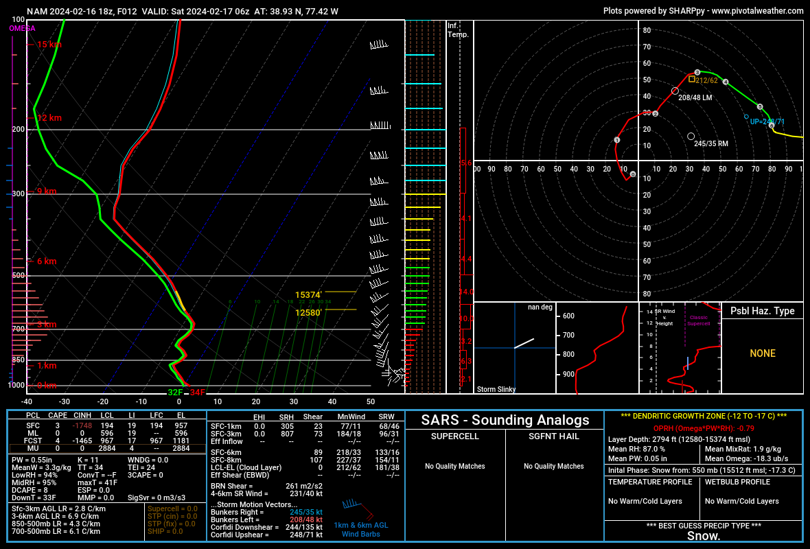
NAM sounding with heaviest precip over IAD. West of 15 and north of 70 stay at or below freezing, though. NAM3k slightly colder based on wet bulb temps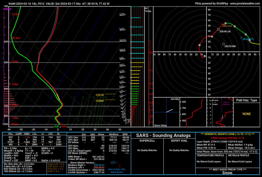
-
The Weekend Rule? Saturday 2/17 - The Icon Storm
Terpeast replied to DDweatherman's topic in Mid Atlantic
Yeah, sticking with 2-4" for dc/balt, and N/W suburbs will make a run for the high end locally 5". No reason to change my first call despite the north trend (a lot of it is model noise) I-95 and east looks like they'll have temp issues at the onset, but then the rates should overcome that. Then it's only a matter of how long that lasts. N&W will have a longer window of heavy rates with freezing temps allowing for more accumulation I'm at 47 now, but dewpoint is 16 -
The Weekend Rule? Saturday 2/17 - The Icon Storm
Terpeast replied to DDweatherman's topic in Mid Atlantic
That's what my wife said. She still doesn't believe it