WxKnurd
-
Posts
1,528 -
Joined
-
Last visited
Content Type
Profiles
Blogs
Forums
American Weather
Media Demo
Store
Gallery
Everything posted by WxKnurd
-

2019/2020 Mountains and Foothills Fall/Winter Thread.
WxKnurd replied to Tyler Penland's topic in Southeastern States
So close to a decent little event, flow snow ends just up the mountain from our neighborhood’s little knob we sit tucked in against.
-
2019/2020 Mountains and Foothills Fall/Winter Thread.
WxKnurd replied to Tyler Penland's topic in Southeastern States
We live on a south facing slope so the sun is out and the occasional flurry is falling. Can see the clouds streaming in above us and I can see it snowing on Beef Market Top across 74 from us, so maybe we can get in a snow shower or two. -
2019/2020 Mountains and Foothills Fall/Winter Thread.
WxKnurd replied to Tyler Penland's topic in Southeastern States
Light sleet and snow, glaze of mainly sleet on the ground for my area, we will see if we can get some flow snow later but we aren’t situated in a good orientation for it. Once you drop down to 3000’ and below on 74 way less of a sleet glaze (only in roofs and vehicles) and it’s back to mainly sleet/rain it seems. Edit: I said that and now have snow in Hazelwood with a dusting on the ground. -
2019/2020 Mountains and Foothills Fall/Winter Thread.
WxKnurd replied to Tyler Penland's topic in Southeastern States
The good part about my place is all I gotta do is get out of the neighborhood and I’m on 74. Headed out to take the trash to the convenience center and run some errands, we will see how it is in town. -
2019/2020 Mountains and Foothills Fall/Winter Thread.
WxKnurd replied to Tyler Penland's topic in Southeastern States
Pretty much all sleet now here at Balsam Gap. And just like that flakes are staring to mix in. -
2019/2020 Mountains and Foothills Fall/Winter Thread.
WxKnurd replied to Tyler Penland's topic in Southeastern States
Rain here at my house, sounds like some sleet mixing in. Probably snowing up above my house once you hit 4000’ though since Joe and Moto have switched over. -
2019/2020 Mountains and Foothills Fall/Winter Thread.
WxKnurd replied to Tyler Penland's topic in Southeastern States
Cataloochee already opened but they are always first. Sugar is looking to open by Thanksgiving I believe my brother-in-law said (he works there) -
2019/2020 Mountains and Foothills Fall/Winter Thread.
WxKnurd replied to Tyler Penland's topic in Southeastern States
Can we please get this much moisture with temps in the 20’s? Radar estimate says we are approaching 4” storm total here, bet we end up with 5-6” when it’s all said and done looking at the downstream stuff. Met, you’ll have to be the Haywood County eyes for any flakes mixing in tonight since I’m headed to the Upstate to hunt the next two days. -
2019/2020 Mountains and Foothills Fall/Winter Thread.
WxKnurd replied to Tyler Penland's topic in Southeastern States
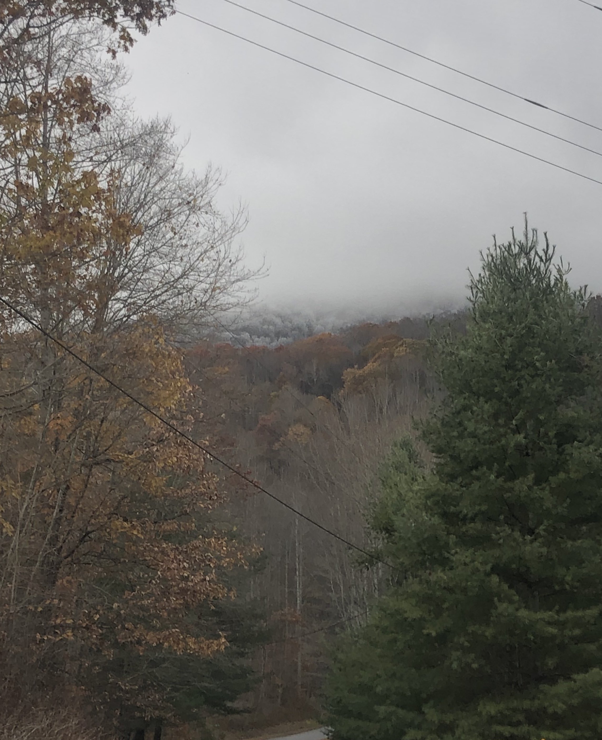
Nearing peak color here near 3400’ at Balsam Gap, only hold outs seem to be a few oaks, beeches and wild cherries. Poplars have changed and are all about bare now, hickory’s are a brilliant yellow and dropping leaves more and more, maples are a blaze of yellows, oranges and reds. Keep trying to upload a picture of the view from the living room through the trees with no luck. -
2019/2020 Mountains and Foothills Fall/Winter Thread.
WxKnurd replied to Tyler Penland's topic in Southeastern States
Yep, Balsam Gap -
2019/2020 Mountains and Foothills Fall/Winter Thread.
WxKnurd replied to Tyler Penland's topic in Southeastern States
Regarding my area, we were the last part to be put in drought conditions according to the US drought monitor and we are only at Abnormally Dry. It’s just been weeks behind when I thought leaves would be changing. We did have some brown out on some trees early but it was a noticeable difference between when I left 10/9 and yesterday. Lots of yellows and now oranges starting to show up. Beef Market Top has full coverage up high of yellow and orange colors, reds are lacking so far from what I’ve seen (Cumberland plateau north of Knoxville has plenty though as I just drove it earlier). -
2019/2020 Mountains and Foothills Fall/Winter Thread.
WxKnurd replied to Tyler Penland's topic in Southeastern States
Color is starting to look great here in the Balsams, came back from Colorado to leaves really starting to show yellowish and orange tints here in the neighborhood and you can tell on the mountain across 74 that things are in full force heading towards peak color as you get up past 4500'. I bet when I get back from Ohio Halloween week I'll have missed peak here. -
2019/2020 Mountains and Foothills Fall/Winter Thread.
WxKnurd replied to Tyler Penland's topic in Southeastern States
Good to see things are coming along at home, in Colorado elk hunting (well I’m done now since I filled my tag opening evening on Saturday, just been packing neat out since). Was a crisp -1 Friday morning at 10k feet! Temps have slowly been warming to average, which is where it will stay the rest of our time out here. Love the mountains, whether they are at home or here in the Western Rockies! -
2019/2020 Mountains and Foothills Fall/Winter Thread.
WxKnurd replied to Tyler Penland's topic in Southeastern States
We were looking at Weaverville, Marshall, Mars Hill and Burnsville before we ended up West of Waynesville in Balsam Gap. Its 45 min to Asheville from our place, same as from Burnsville. Weaverville puts you at 15 min, Marshall is around 30-45 which is the same as Mars Hill. Have only spent the last couple months of winter (Feb through April this year) at the new place, but managed to get a dusting in really the last minor event of the season while town was just wet. So that said, get above 3000' IMO to increase your snow chances; the higher the better of course. We don't get as good of flow snow as they do over on Soco Gap or north of 40 in Haywood from what I've seen thus far but we do seem to sit at one of the precip max areas of the county it seems like. As far as other areas when it comes to flow snow, the four I listed seem to all do good, especially Mars Hill and Burnsville. -
2019/2020 Mountains and Foothills Fall/Winter Thread.
WxKnurd replied to Tyler Penland's topic in Southeastern States
Rain two days in a row, much needed! Lots of widespread showers and storms over the mountains today, hope most places can get some. -
2019/2020 Mountains and Foothills Fall/Winter Thread.
WxKnurd replied to Tyler Penland's topic in Southeastern States
81 down in town around noon and was 74 up here on the gap. Clouds have rolled in now, actually looks like a good early Fall day looking out the living room with leaves starting to change and a nice cloud cover. Hoping that chance of showers pans out, somehow managed to have some rain last week whereas other parts of the county and region weren't as lucky. -
Next one is on its way, I’ve just missed the bad leading edge last night and this morning where I am working in Indiana. Same areas taking a beating 12 hours apart and they didn’t need any more heavy rain up here with the local flooding.
-
Officially a resident of Haywood County. Always said I’d have a log home in the mountains one day and am proud to say I’m a log homeowner at 3350’ now, hard work still gets you what you want!
-
Is it bad I am taking into account elevation and winter weather prospects when we head to look at houses in Haywood County tomorrow? I didn’t think so either...
-
I’ve fared a little better here NW of town but have had higher totals all around me since building over here 7 years ago. Always something whether anemic rates, tiny flake size, sleet, etc. Kills me as growing up in northern Catawba County always put me on the good size of these kind of storms. Wife wants to move back home to somewhere around Asheville so hopefully this time next year I’ll be posting from 3000+ feet.
-
Colder look makes sense if you look at current conditions, the high pressure back around the Lakes is 1038, 850’s are good, 925 looking good.
-
Spruce Pine could be do able, I know once you get to Burnsville Hwy 19 is 4 lane limited access all the way to 26.
-
Looks like it actually ticked up about .4", from 4.21" and plumes done snowing at 15 compared to 4.61" and some plumes still snowing. HKY went from 11.98" to 9.73" but again, more plumes showing it still showing it snowing.
-
Then that makes the other maps that were confusing us when compared with the current forecasted amount map make sense now, probably also automated via WPC suite.
-
Oh I agree, just pointing out that the expected map makes no sense when you factor in all the other product maps they put out with it. And that’s the only reasoning I could think of, which makes sense when you look at the disco about QPF and sleet SW of Asheville. Seems like their reasoning is banks on snow being rate driven given the thermal profile.