.jpg.4c41765cec96cb3c43c9dbcc94bfd7ad.jpg)
KChuck
-
Posts
573 -
Joined
-
Last visited
Content Type
Profiles
Blogs
Forums
American Weather
Media Demo
Store
Gallery
Everything posted by KChuck
-
All discussions over weather technically deal with things that haven't even happened yet.
-
.thumb.jpg.a628c2147efdff1c820341d5143d9237.jpg)
2023-2024 Fall/Winter Mountain Thread
KChuck replied to The Alchemist's topic in Southeastern States
Same here just north of Kville. We're blessed being in a cold pocket and up to eight degrees below everyone else in town. -
I'm getting concerned about how bad the forecast will bust for tonight in my back yard. KINT just reported 66° @ 36%rh. I'm currently at 53° @ 38%rh. NWS is calling for a low of 49° for the Triad, but if I'm already under their current observations by 13°, that will place me around 36° for a low if I extrapolate that difference out. We normally go under NWS published lows by maybe 7° or so, but that 13° is rediculous. I think I may need to rush and cover my wife's fall beans. What say you?
-
Actually that's 8pm. We're still in daylight savings time!
-
2023-2024 Fall/Winter Mountain Thread
KChuck replied to The Alchemist's topic in Southeastern States
Temperatures are still falling for this weekend. We're in one of the cooler hollows of the Triad and usually run 4-7° below more populated areas. Edit: NWS is now calling for a low of 42° in the Triad cities for Saturday and Sunday nights. That means I'll be expecting a shot at the 30s. Time to start making plans to cover up my wife's fall vegetable crops. -
Umm. You posted the same image twice. No???
-
The people in Maui want to talk to you about the fire part.
-
Well, we're trying. I've just backed way off. It's gotten real easy to tell if someone has whipped up something using a heavy elbow with the salt.
-
Not after a heart attack it's not!
-
I concur. I've got a Keifer pear tree that is in its third year. I would love to get some actual pears off of it but the last two years the frosts and hard freezes have claimed what tried to grow. Same with my Concord grape vines.
-
Fixed it for you.
-
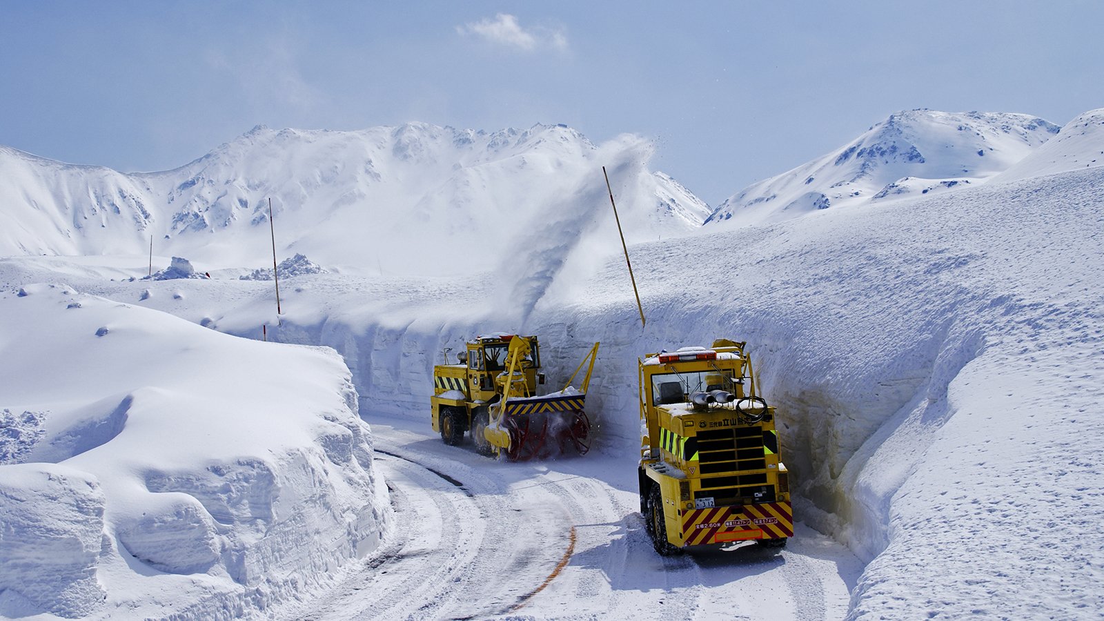
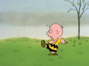
Oh ye of little faith. Woke up about 7 and checked personal weather station for current temp and low temp. Concerned over possible bad decision of not covering young Keifer pear tree with frost cloth. Saw the blue overhead in the weather radar and rushed to den to flip on deck light and look outside. Light to medium downfall of large snowflakes with zero mixing. At dawn looked again and ground was covered with a dusting. Picture Snoopy happy dance!!!
-
Picture of neighborhood now that daybreak has occurred. Most of snow fell around 7am. We got a good dusting. 32.4/30.4
-
There's this white stuff falling from the sky. I'm wondering if it's that stuff my parents told me they got when they were kids. Deck is covered from light heavy flakes slowly falling from the sky. My first snow of winter 2022-23.
-
Fixed it for you!
-

-
Appreciate all of your work!!!

-
Working on my Mr Troy (Horse tiller) getting it ready for the upcoming gardening season. I've had it for over 30 years. Curious about what's available as add-ons for use with its PTO. Forgot Troy has a snow/dirt plow blade that you can add on to the front to push snow with. Showed my Mrs. She asked what I wanted to worry about that for, it's not going to snow here anymore. Don't think that she was talking about just this season.
-
They weren't talking about a female. They were describing the male who forecasted the recent snows!
-

-
-
So how did this work out???
-
This is getting so old. I don't think I can remember the last good full out snowstorm we had anymore.

-
The GFS model looks like someone is on their knees praying...rightfully so!
-
Last one to leave please turn out the lights.