-
Posts
3,953 -
Joined
-
Last visited
Content Type
Profiles
Blogs
Forums
American Weather
Media Demo
Store
Gallery
Everything posted by wthrmn654
-
Record low maximums were set at all area stations, some going way way back.
-
I've heard temperatures in Tennesse can be wild but jeez, my sister's stations all over the place with 70s tomorrow she said...
-
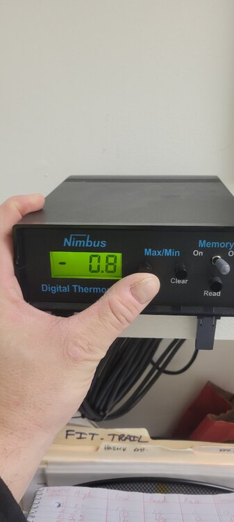
3.8
-
Forecast low was about 6. Coolest of the year so far
-
Fun fact Lake Erie is nearly 96% frozen as of Thursday. With this weekend's Arctic blast, it could reach 100% coverage. The last time this happened was 30 years ago in February 1996 and has ocurred only 3x in modern history.
-
It's getting dangerous upstate. The power outage in the Village of Watkins Glen is due to an overload of the system believed to be from increased demand due to extreme temps. Village Electric is asking that everyone turn off unnecessary lights and other electrical items that may be causing a load to the system. Also you are being asked to limit electric heat to only what is needed to directly stay warm. If everyone can do their part the system may be restored. Please share and inform anyone who may not see this post. In the mean time the Watkins Glen Fire Department is opened for a warming station if its needed. The direct number there is 607-535-7700 and if no answer please call the Sheriffs Office and speak to an Emergency Service Dispatcher at 607-535-8222.
-
Kill all the dam mosquitoes and a lot of the ticks... why would anyone want warmth! It only breeds! Cold kills.
-
Down to 7.4 now come on cold you can do it!
-
7.7
-
But for a fact 2.5 before the wind lol
-
5-7 inches atleast 100% guessing with this storm
-
30 to 1 ratio! Light to occasionally moderate snow remains across the Twin Forks of Long Island as a vort max continues to rotate through the region as a negatively tilted upper trough moves slowly eastward. This upper trough along with a low level trough from offshore low pressure has combined to produce heavier snowfall earlier in the day. And with the cold airmass in place snow ratios have been running up to near 30 to 1, also contributing to the high snowfall totals. Between 18Z and 19Z radar reflectivities have been weakening. A Winter Weather Advisory remains in effect until 500 PM. CAMS and HRRR have been showing light snow lingering into early this evening. With the strong gusty winds and in areas with the higher snow totals, blowing snow will be possible, quickly reducing visibilities.
-
Why does mass have a hand giving the middle finger in that?
-
Already over 7
-
Winter Weather Advisory issued February 7 at 11:56AM EST until February 7 at 5:00PM EST by NWS Upton NY HEADLINE: Winter Weather Advisory issued February 7 at 11:56AM EST until February 7 at 5:00PM EST by NWS Upton NY DESCRIPTION: * WHAT...Snow expected. Total snow accumulations of 3 to 5 inches, with locally 6 to 9 inches. Winds gusting 40 to 45 mph. * WHERE...Northeast Suffolk and Southeast Suffolk Counties. * WHEN...Until 5 PM EST this afternoon. * IMPACTS...Plan on slippery road conditions. Gusty winds could bring down tree branches. * ADDITIONAL DETAILS...The highest snowfall totals will be very localized and across the far end of the Twin Forks, near Orient and Montauk. Amounts will drop off west of Riverhead. INSTRUCTIONS: Slow down and use caution while traveling. Check local Department of Transportation information services for the latest road conditions. Be prepared for slippery roads. Slow down and use caution while driving. If you are going outside, watch your first few steps taken on stairs, sidewalks, and driveways. These surfaces could be icy and slippery, increasing your risk of a fall and injury. Issued By: NWS Upton NY ---------- For a permanent link to this Notification (may contain additional formatting and / or content which could not be sent), follow this link: https://member.everbridge.net/index/892807736728110#/event
-
1 plow truck broke down had to tow back. Lol winter breaking everything
-
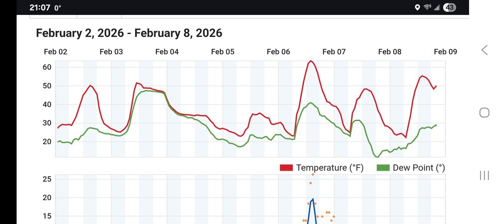
Snowing and snowing and snowing lol temp was 27 then dropped to 15 in about an hour wow
-
It's coming down really good now
-
Exploding over eastern Suffolk
-
Snowing here
-
Only the east coast, the other end of country is closing so resorts already
-
Wow, these radars are highly complex, based on the trouble shooting data i just found. https://training.weather.gov/nwstc/NEXRAD/modifications/183Troubleshooting_SPIP.pdf#:~:text=RCP AZ Control Unresponsive (357) RCP EL,Power Supply Fail (335) Perform SPIP Power. https://training.weather.gov/nwstc/NEXRAD/webinars/20201105b Hardware Change on SPIP and Pedestal.pdf
-
Upton radar back online


