wthrmn654
-
Posts
3,953 -
Joined
-
Last visited
Content Type
Profiles
Blogs
Forums
American Weather
Media Demo
Store
Gallery
Everything posted by wthrmn654
-
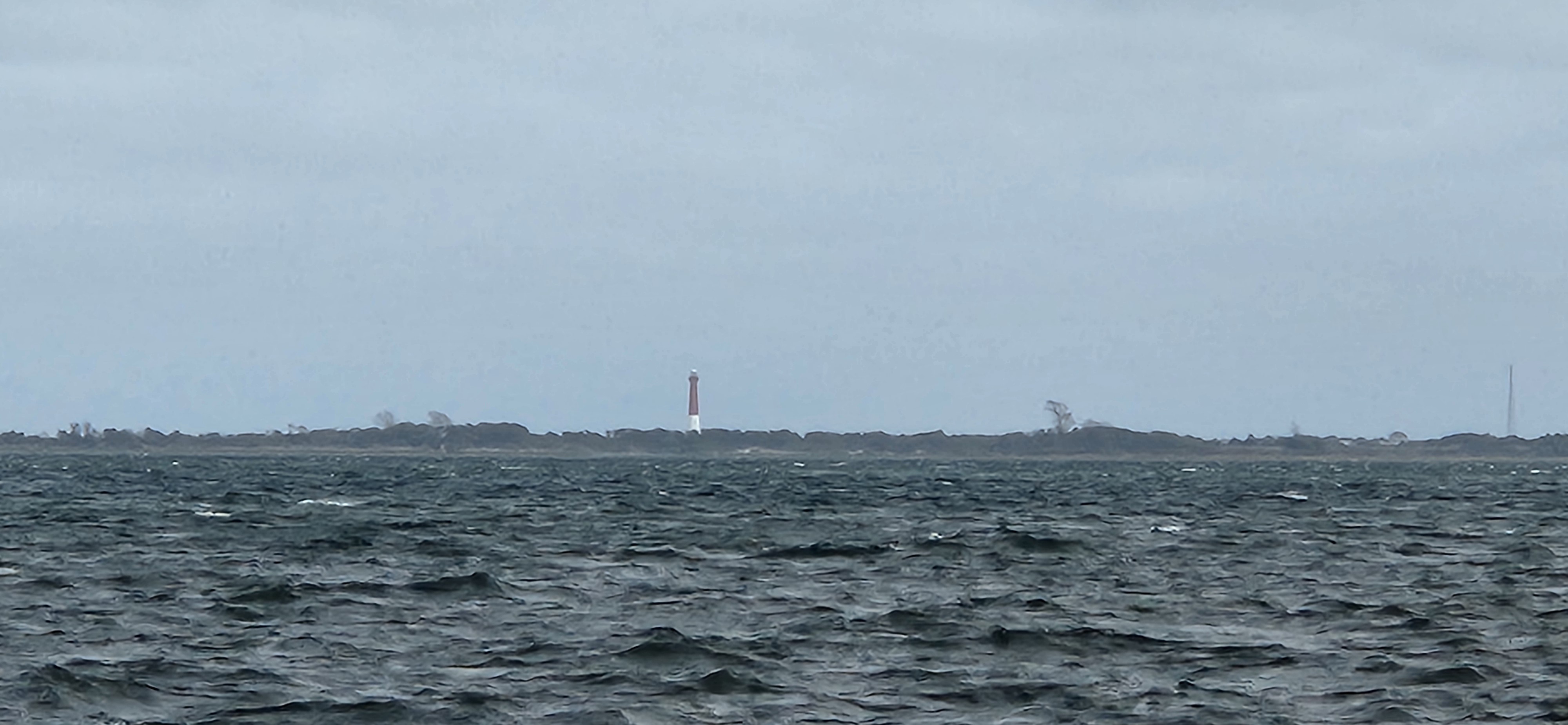
 33 mph gust so far, tides are running much higher versus all week so far low tide is now with first high tide about 3 pm today. Waves out here on the east end are quite impressive 2-4 feet( I'm very bad with guessing wave heights) plenty of white caps. Cross sound ferry to be London still running, for now but I expect them to cancel boats soon! Winds are deft increasing. The trees are screaming with all the leaves still on them.... Setup is deft there for decent power outages, especially areas that haven't had lines or poles upgraded since sandy. Let's not forget, prolonged dry/ drought on top of bugs or diseases will allow trees to be compromised/ weak.
- 731 replies
-
- 1
-

-
- heavy rain
- damaging wind
- (and 2 more)
-
High wind warnings issued, wind advisories issued
-
Gusting over 20 mph already. Waves are quite big with white caps. Kinda surprised to see that already.
-
Highest low tide all week this morning. It's coming
-
Wild per hourly forecasts gusts start about 11 am Sunday and end about 11 pm Monday. Not often to have that long of a winds even 35+mph gusts.. Tuesday shows gusts in the 30s too so I'll add that onto such a long wind event.
- 731 replies
-
- 1
-
-
- heavy rain
- damaging wind
- (and 2 more)
-
Nws extended the high wind watches
-
Eps at 18z had some clusters to the left of placed center .
-
Is the nam trying to merge Jerry into the system?! Or am I seeing things
-
Euro ai 2 runs in row trending west...
-
Lol and the game continues
-
Icon is better for some but not all lol And rgem looks fairly nice. To the end of run
-
What a waste of a named storm ....i had full hope that Karen would take out the entire east coast from Florida to New England....
-
Oh let's not forget we still have a fairly decent leaf canopy on the trees still. ..
-
But again I said they raised the flood #s kinda goes against everything seen today kinda lol
-
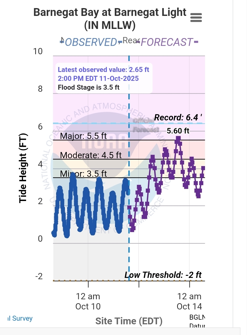
Interesting, nws just updated the coastal flood watch and raised water levels especially for eastern Suffolk.
-
With the way things have been i could see it trending back west or way east at this point lmao
- 731 replies
-
- 1
-

-
- heavy rain
- damaging wind
- (and 2 more)
-
The euro ai rain totals are west of 6z at least for parts of long island. Seems to be a sharp cutoff in jersey area though.
-
Yep I'm on the island of wind lol so I expecting something. Otherwise I'll be grumpy Sunday/ Monday
-
A little less jersey coast but not big jumps like icon and them.