IrishRob17
-
Posts
11,531 -
Joined
-
Last visited
Content Type
Profiles
Blogs
Forums
American Weather
Media Demo
Store
Gallery
Everything posted by IrishRob17
-
 Agreed. Looking forward to some mood flakes for Festivus.
 -
Wow, nice. Just some flurries here this evening.
-
36/32 with flurries.
-
Send some to your ENE. The wife says it's snowing in Scotchtown so it's close to me.
-
A report of snow out near Port Jervis.
-
I was surprised earlier by how many hail reports there were in PA. I'm north of the Warning box but a number of us are in it, hopefully its not too bad.
-
Severe Thunderstorm Warning NJC003-013-017-031-039-NYC005-047-059-061-071-081-085-087-119-192115- /O.NEW.KOKX.SV.W.0048.251219T2018Z-251219T2115Z/ BULLETIN - IMMEDIATE BROADCAST REQUESTED Severe Thunderstorm Warning National Weather Service New York NY 318 PM EST Fri Dec 19 2025 The National Weather Service in Upton NY has issued a * Severe Thunderstorm Warning for... Hudson County in northeastern New Jersey... Passaic County in northeastern New Jersey... Union County in northeastern New Jersey... Bergen County in northeastern New Jersey... Essex County in northeastern New Jersey... Southern Orange County in southeastern New York... Queens County in southeastern New York... Richmond County in southeastern New York... Bronx County in southeastern New York... Kings County in southeastern New York... Rockland County in southeastern New York... Westchester County in southeastern New York... New York (Manhattan) County in southeastern New York... Southwestern Nassau County in southeastern New York... * Until 415 PM EST. * At 314 PM EST, showers with embedded thunderstorms were located along a line extending from 6 miles east of Pecks Pond to Greendell to near Bridgewater to near Windsor, moving east at 50 mph. HAZARD...60 mph wind gusts. SOURCE...Trained weather spotters. IMPACT...Expect damage to trees and power lines. * Severe thunderstorms will be near... Plainfield around 325 PM EST. Summit and Port Jervis around 330 PM EST. Linden and West Milford around 335 PM EST. Newark and Elizabeth around 340 PM EST. Paterson and Passaic around 345 PM EST. Jersey City and Hoboken around 350 PM EST. Flatbush and Bergenfield around 355 PM EST. Flushing and Mott Haven around 400 PM EST. Jamaica and Yonkers around 405 PM EST. PRECAUTIONARY/PREPAREDNESS ACTIONS... For your protection move to an interior room on the lowest floor of a building. && LAT...LON 4049 7428 4050 7426 4060 7422 4060 7446 4066 7440 4067 7446 4076 7436 4090 7434 4091 7427 4100 7430 4104 7450 4120 7437 4138 7471 4145 7399 4140 7395 4132 7398 4133 7390 4113 7379 4057 7369 TIME...MOT...LOC 2014Z 260DEG 45KT 4130 7497 4098 7480 4056 7467 4028 7458 HAIL THREAT...RADAR INDICATED MAX HAIL SIZE...<.75 IN WIND THREAT...OBSERVED MAX WIND GUST...60 MPH $$ MW
-
If it does start Tuesday it look to be very short lived unfortunately. I'm rooting for it though, any snow is good snow.
-
That was in the form of a question, Santa.
-
Numerous hail reports from the line back in eastern PA, from Scranton down to Reading.
-
I thought the elves did that?
-
48/46 with .87"
-
Yeah, I mentioned that in the NW thread. It wasn't much to look at on radar but it packed some punch. Temps and dews dropping up here now.
-
And now the dews and temp have started slowly dropping, after a high of 56/54 down to 52/51.
-
That squall line means some business, moving through with heavy windswept rain. Don't let the radar fool you.
-
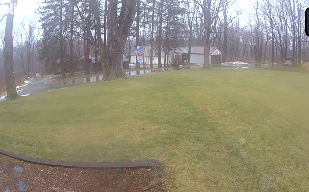
Yeah, current front yard pic, she gone. .71" of rain 55/54.


-
Do some of us get some frozen precip this evening? Time will tell.
-
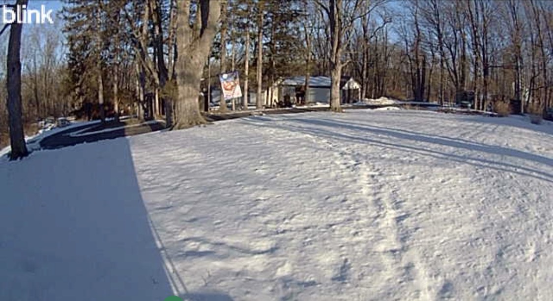
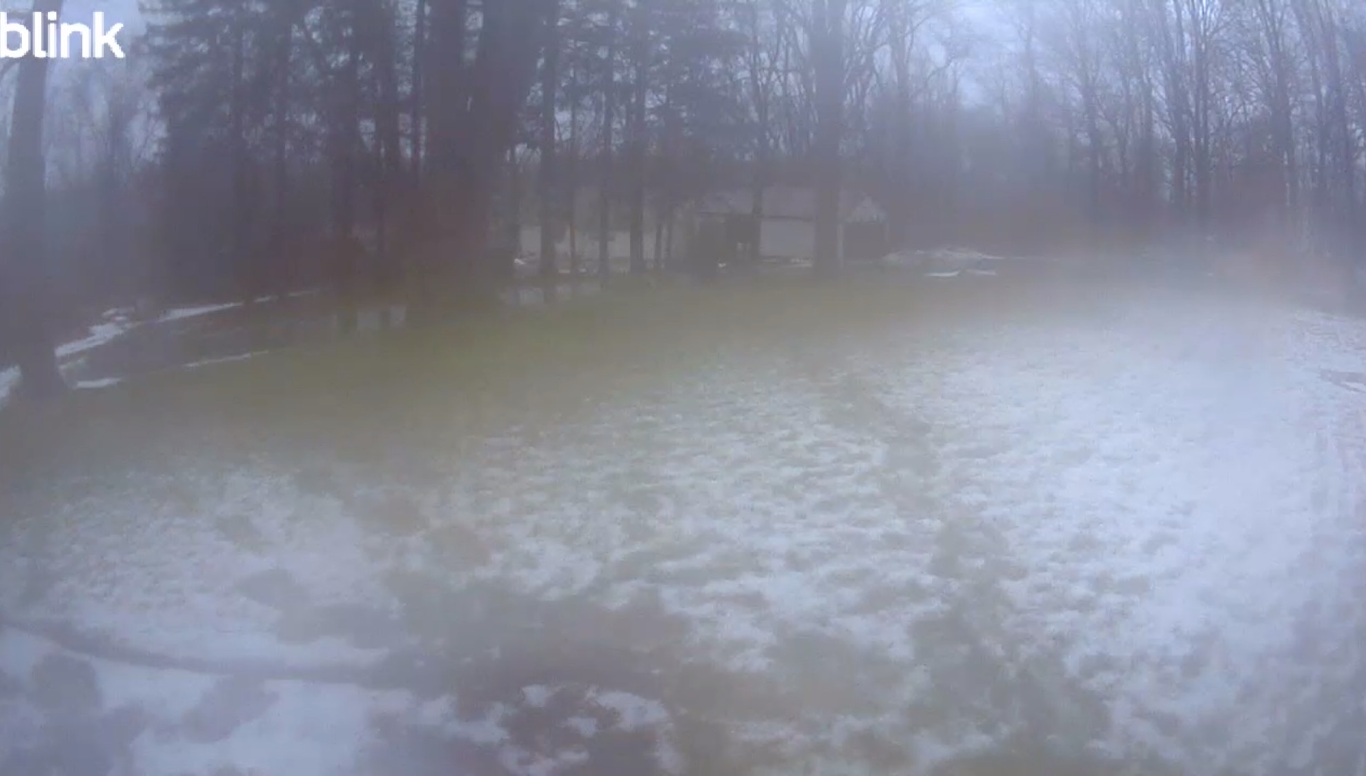
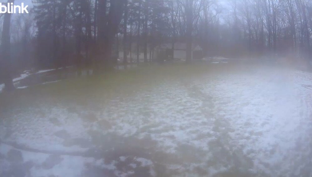
Yesterday morning and then this morning (pardon some fog on the lense).
-
Maybe they left their grass really high? I'm only half kidding. Im sure that there aren't a lot of us with a snow ruler using a snowboard. I also get the sense that there's a fair amount of snow envy out there so I wouldn't be surprised if some people report late after seeing what's in their area and then jack potting themselves. I don't envy you trying to weed out the bullshit measurements but it's appreciated.
-
MGJ : -7.1 HPN: -7.6 DXR: -7.0 You can look them up here: https://www.weather.gov/wrh/Climate?wfo=okx
-
Classic.
-
Tis true, there's nearly always more in the yard than on on board, especially early in the season. Its even better if the ground isn't frozen yet, you can get the snow ruler to dig into the mud a bit. Winning.
-
NOUS41 KOKX 161406 PNSOKX Public Information Statement National Weather Service New York NY 0906 AM EST Tue Dec 16 2025 ...NATIONAL WEATHER SERVICE NEW YORK NY TRANSITIONING TO A NEW FORMAT FOR THE AREA FORECAST DISCUSSION BEGINNING JAN 7 2026... Beginning with the afternoon issuance on January 7th 2026, the National Weather Service New York, NY Forecast Office will transition to a Key Message format for the Area Forecast Discussion (AFDOKX). This strategic change aligns the Area Forecast Discussion (AFD) with an impacts-first message philosophy, enabling our office to streamline communication and reduce redundancy. This transition moves away from a strictly chronological layout to focus immediately on potential weather impacts and hazards. By prioritizing Key Messages, we aim to enhance clarity and eliminate duplication within the Area Forecast Discussion. A side-by-side comparison of the old format and the new format templates can be found at: https://www.weather.gov/erh/newAFD The latest local AFD can be found at the following link: https://forecast.weather.gov/product.php?site=okx&issuedby=OKX&product=AFD For any questions, please contact: Nelson Vaz Warning Coordination Meteorologist National Weather Service New York NY [email protected]
-
That was a good watch, thanks for posting it.
-
4.1" for this event bringing my season total to 8.6"