Maggie Valley Steve
-
Posts
1,021 -
Joined
-
Last visited
Content Type
Profiles
Blogs
Forums
American Weather
Media Demo
Store
Gallery
Everything posted by Maggie Valley Steve
-

2026 Spring/Summer Mountain Thread
Maggie Valley Steve replied to Buckethead's topic in Southeastern States
Already raining at the house this morning. -
2026 Spring/Summer Mountain Thread
Maggie Valley Steve replied to Buckethead's topic in Southeastern States
I missed out today, but the moisture is here! -
2026 Spring/Summer Mountain Thread
Maggie Valley Steve replied to Buckethead's topic in Southeastern States
GSP issued a Special Weather Statement for the storm near Enka a few minutes ago. It's been a while! -
2026 Spring/Summer Mountain Thread
Maggie Valley Steve replied to Buckethead's topic in Southeastern States
Unfortunately we experienced investors swoop in during COVID and establish near 500 new properties for short term rentals. It killed the year round local hosts and certainly Helene didn't help. That said we're getting booking frequently now, perhaps we've turned a corner. -
2026 Spring/Summer Mountain Thread
Maggie Valley Steve replied to Buckethead's topic in Southeastern States
Nice to see a few afternoon pulse thunderstorms firing along the Mountains. That bodes well for the rest of the week into the weekend! -
Mid-Long Range Discussion 2026
Maggie Valley Steve replied to BooneWX's topic in Southeastern States
This is a different animal altogether. This TUTT low has traversed the Atlantic along with the Saharan Dust currently moving into the far Eastern Caribbean. -
Mid-Long Range Discussion 2026
Maggie Valley Steve replied to BooneWX's topic in Southeastern States
Keep an eye on the TUTT low generally heading W from the NE of the Bahamas. That feature could assist with some much needed rainfall across portions of the SE. -
2026 Spring/Summer Mountain Thread
Maggie Valley Steve replied to Buckethead's topic in Southeastern States
It looks like a significant pattern change is coming this week with a stalling boundary that will extend back into Texas. Rounds of rain will move across the Mountains later this week and possibly into the weekend. I'm seeing a pesky trough building in and lowering pressure across the Gulf as a monsoonal trough begins to organize in the Western Caribbean. Our sensible weather suggests that we begin to see an El Nino pattern slowly become established and rain chances increase all across the SE Region. Keep an eye on an early tropical system slowly organizing somewhere in the Gulf at the end of May or early June. -
2026 Spring/Summer Mountain Thread
Maggie Valley Steve replied to Buckethead's topic in Southeastern States
37 at the house this morning. -
2026 Spring/Summer Mountain Thread
Maggie Valley Steve replied to Buckethead's topic in Southeastern States
39 this morning in the Valley. -
2026 Spring/Summer Mountain Thread
Maggie Valley Steve replied to Buckethead's topic in Southeastern States
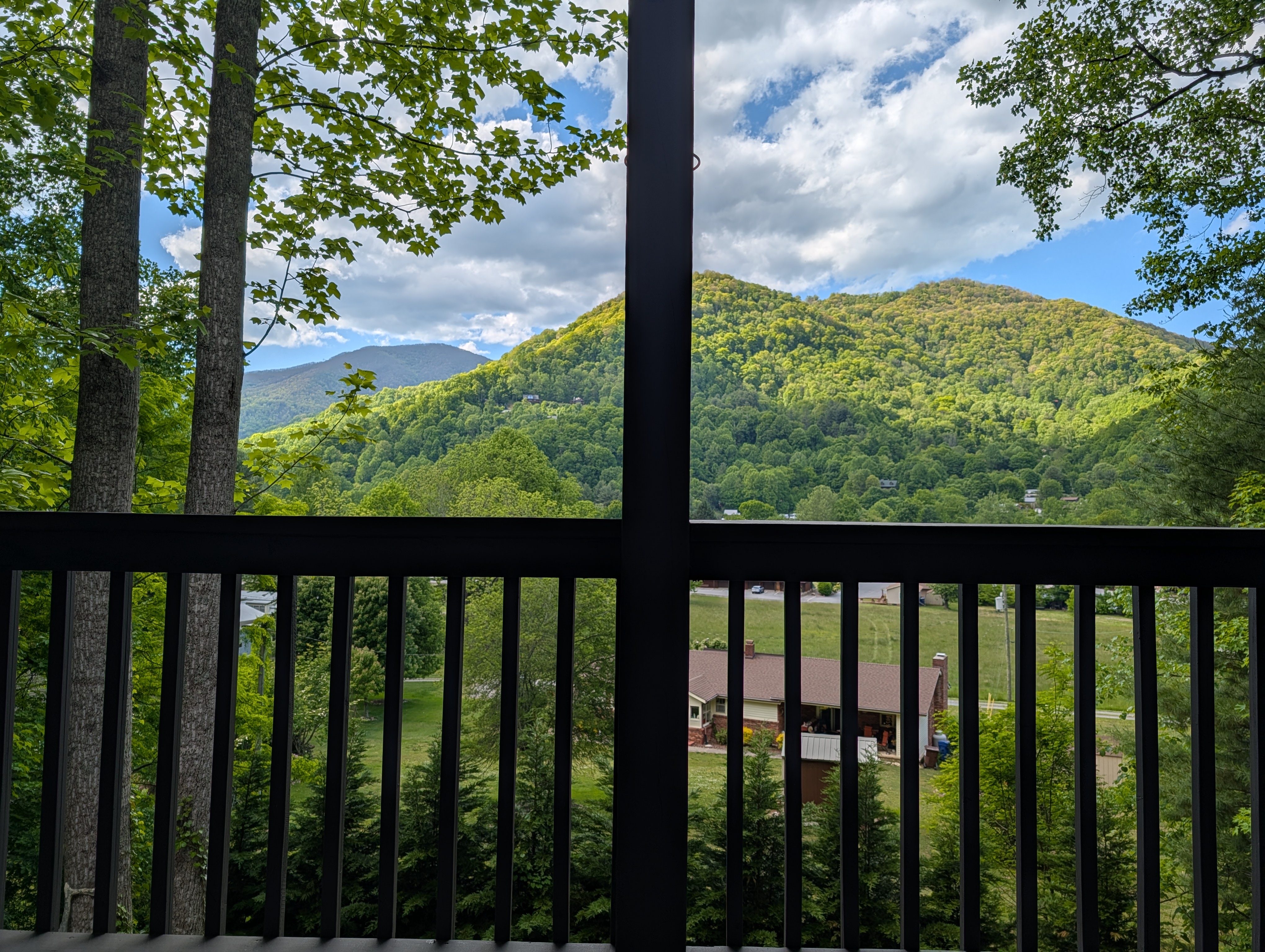
Front porch weather on this Mother's Day afternoon!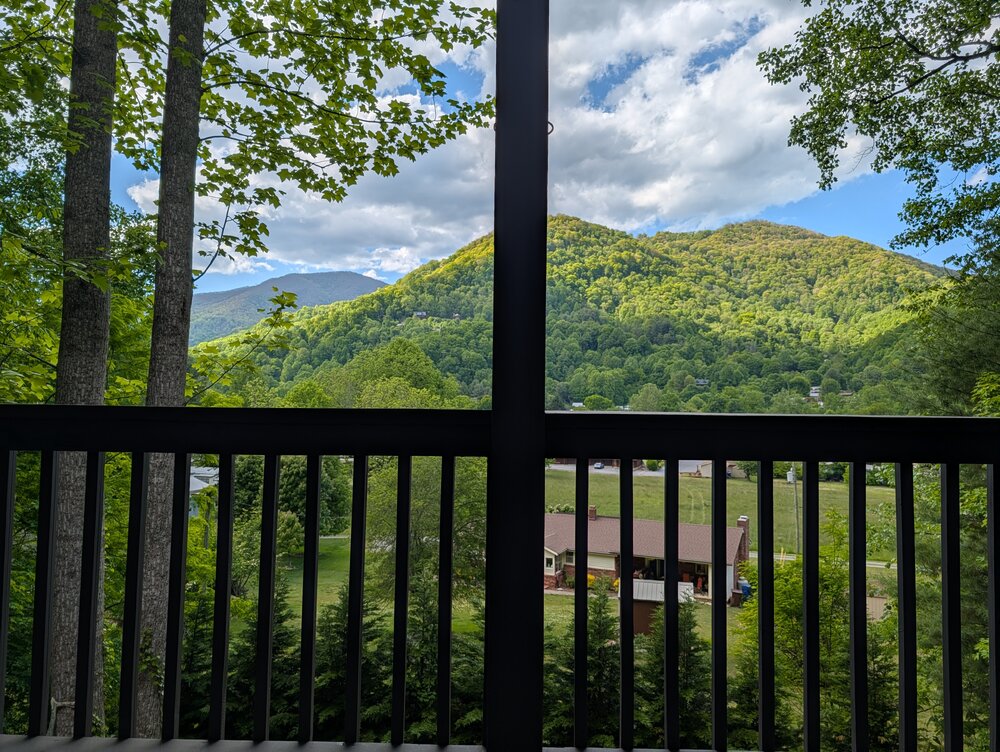
-
2026 Spring/Summer Mountain Thread
Maggie Valley Steve replied to Buckethead's topic in Southeastern States
Of course you are! Nice NW breeze and dryer air as arrived. I ended up with 1.2 inches of rain. -
2026 Spring/Summer Mountain Thread
Maggie Valley Steve replied to Buckethead's topic in Southeastern States
I've got over an inch in the rain gauge and still coming down lightly. -
2026 Spring/Summer Mountain Thread
Maggie Valley Steve replied to Buckethead's topic in Southeastern States
Light to moderate rain has filled back. Radar upstream looks promising for continued rain throughout the evening. The longer range guidance continues to advertise a general trough continuing across WNC into at least mid May. That suggests rain chance will continue with fronts arriving every several days! -
2026 Spring/Summer Mountain Thread
Maggie Valley Steve replied to Buckethead's topic in Southeastern States
We've had breaks in the clouds this afternoon and humidity and temperatures have risen by 15 degrees. -
2026 Spring/Summer Mountain Thread
Maggie Valley Steve replied to Buckethead's topic in Southeastern States
Rolling thunder and heavy rain ongoing the past half hour. -
2026 Spring/Summer Mountain Thread
Maggie Valley Steve replied to Buckethead's topic in Southeastern States
Light rain is falling over the Valley this morning. That radar looks very encouraging and I am hoping for an inch or two today and tonight! -
2026 Spring/Summer Mountain Thread
Maggie Valley Steve replied to Buckethead's topic in Southeastern States
Frost Advisory and Freeze Warning issued for the Mountains.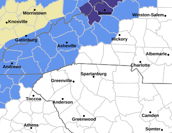
-
2026 Spring/Summer Mountain Thread
Maggie Valley Steve replied to Buckethead's topic in Southeastern States
Clouds have rolled in now, but what a beautiful morning and mid day we've had. I had a low of 41 this morning. We'll see if we make a run at the mid 30's Sunday morning! -
2026 Spring/Summer Mountain Thread
Maggie Valley Steve replied to Buckethead's topic in Southeastern States
Yeah and a slight chance at some wet snow at the highest elevations Saturday night. -
2026 Spring/Summer Mountain Thread
Maggie Valley Steve replied to Buckethead's topic in Southeastern States
What a glorious morning! Lots of lightening and thunder and a round of heavy rain around 5 o'clock this morning. Certainly the rain over performed and it was surely needed! -
2026 Spring/Summer Mountain Thread
Maggie Valley Steve replied to Buckethead's topic in Southeastern States
We've had a nice week with cool mornings and warm Spring days. It's looking that a pattern change is ahead with rain chances returning tomorrow continuing into next week. -
2026 Spring/Summer Mountain Thread
Maggie Valley Steve replied to Buckethead's topic in Southeastern States
I got enough rain to wash down the pollen! 53 this morning. -
2026 Spring/Summer Mountain Thread
Maggie Valley Steve replied to Buckethead's topic in Southeastern States
Frost Advisory hoisted for tonight/tomorrow morning. -
2026 Spring/Summer Mountain Thread
Maggie Valley Steve replied to Buckethead's topic in Southeastern States
I ended up with an inch of rain and I am very thankful! The pollen has been washed down and cooler air is filtering in. I could make a run at freezing in the morning. We'll see about that.