Violentweatherfan
-
Posts
3,675 -
Joined
-
Last visited
Content Type
Profiles
Blogs
Forums
American Weather
Media Demo
Store
Gallery
Everything posted by Violentweatherfan
-

E PA/NJ/DE Winter 2024/25 Obs/Discussion
Violentweatherfan replied to JTA66's topic in Philadelphia Region
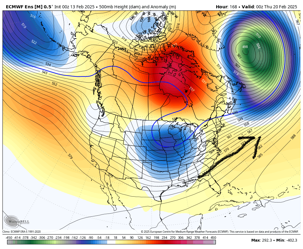
MJO was in phase 6/7 it’ll be in phase 8 / 1 for Thursday. I’m not worried about what happened on the 12th with relation to the 20th storm chances -
E PA/NJ/DE Winter 2024/25 Obs/Discussion
Violentweatherfan replied to JTA66's topic in Philadelphia Region
Stormchaser chuck said the same thing in the MA forum. He did say it could only impede accumulation. Keep in mind this is for the MA forum and may not significantly impact us up here. All telecommunications are lining up to favorable stage for a storm. I watched DT’s YT video…yeah I know but the vid was excellent for thoroughly understanding how and why we get snow on the east coast. Probably one of his best videos yet -
E PA/NJ/DE Winter 2024/25 Obs/Discussion
Violentweatherfan replied to JTA66's topic in Philadelphia Region
He can’t even weenie anymore, I think he pissed off randy -
Both are too close for the circle of death during the 20th of feb
-
E PA/NJ/DE Winter 2024/25 Obs/Discussion
Violentweatherfan replied to JTA66's topic in Philadelphia Region
@brooklynwx99 or @mitchnickwhat are the chances a SW follows the pattern and out to sea as depicted Edit: Wouldn’t we want the SW to track to the BM. Not sure it would be able to
-
Lower Bucks County did well with this event. Much more than Central Bucks Area. I’d say at least double
-
Email it to yourself, depending on what type of phone you have it might offer a file size selection
-
Spelled Langhorne wrong
-
I didn’t even bother parking my car in the garage tonight. That is the level of confidence I have with this storm.
-
Weren’t they called Manitoba Maulers
-
If anything this winter taught me to manage my expectations. Learned plenty about west to east based patterns, and not all -NAO are the same.
-
Clippers can turn into Miller B storm. It wouldn’t be winter without them
-
Exactly, to me they’re like a good summer thunderstorm. Edit: January 30, 2020 had an excellent squall/clipper
-
The intensity is what make clippers special. I’d take a nice clipper over what we are about to get.
-
I’m going with 1-3 for all of buck county maybe a loli of 4 inches. Warm air aloft is going to creep in. Forget the second wave, it’s all rain.
-
Cold…Barney like cold
-
E PA/NJ/DE Winter 2024/25 Obs/Discussion
Violentweatherfan replied to JTA66's topic in Philadelphia Region
They’re definitely benefiting from the west to east 500mb pattern and just enough cold air north without suppression. Without the cold MJO Phase 6 and 7 would be a torch -
E PA/NJ/DE Winter 2024/25 Obs/Discussion
Violentweatherfan replied to JTA66's topic in Philadelphia Region
Remember the SER, that jet stream might bring warm air with it -
Or just shove another TD down their throats
-
You are drunk
-
You’re good. Even if KC offense miraculously comes to life their D sucks
-
Ear protection please
-
With these drives, eat the clock up and keep KC’s defense on the field
-
E PA/NJ/DE Winter 2024/25 Obs/Discussion
Violentweatherfan replied to JTA66's topic in Philadelphia Region
Excellent video, skip to the 6:00 minute mark and watch till the 11:00 minute mark. Watch and digest the info and you won’t get sucked by weenie clown maps -
I think the Chiefs defense is suspect, it’ll come down to to coaching to see if the eagles exploit the KC defense.