-
Posts
36,381 -
Joined
Content Type
Profiles
Blogs
Forums
American Weather
Media Demo
Store
Gallery
Everything posted by Bob Chill
-
The Jan 31 Potential: Stormtracker Failure or 'Tracker Trouncing
Bob Chill replied to stormtracker's topic in Mid Atlantic
Nothing about that run looked like it was going to work. Progressive as F lol -
The Jan 31 Potential: Stormtracker Failure or 'Tracker Trouncing
Bob Chill replied to stormtracker's topic in Mid Atlantic
Back yard post for my southern neighbors... and it's just getting started lol -
The Jan 31 Potential: Stormtracker Failure or 'Tracker Trouncing
Bob Chill replied to stormtracker's topic in Mid Atlantic
Would probably get to neutral/neg in time for something similar to the gfs -
The Jan 31 Potential: Stormtracker Failure or 'Tracker Trouncing
Bob Chill replied to stormtracker's topic in Mid Atlantic
Gfs did great job during JFM 2014&15. the mid range with fast moving progressive northern stream waves. Euro did well inside of 72 hours but the gfs was the one you wanted on your side in the mid range. That said, the gfs and euro haven't been that far apart with the current threat. Its just one of those setups where a little means a lot on the ground. -
-
That's a beaut. Literally went half way to the gfs in one run. The cips analog list is looking more realistic now heh
-
Extremely. Unlike the last storm, this one basically blows up right at our latitude. Last one was mature and loaded with moisture well before the approach. This storm is going to be explosive wherever it rapidly deepens. That's a lock. Where that happens depends entirely on how the upper levels transpire
-
I'll have to see the euros h5 vort panels to compare but right now the differences between the euro and gfs are pretty small. Gfs is just a little quicker to close off and go negative. Like what I said recently with the euro trough pointing at 1 o'clock and the gfs at high noon. If the euro moves that direction at 0z it gets real interesting
-
AIFS isn't really that far off of the gfs @ h5 and it definitely improved in the upper levels. Not what we want but a decisive trend in the right direction.
-
Gefs mean qpf last 8 runs...
-
Spread tightened up quite a bit... in a really good way too....
-
Rgem @ 84 Gfs @ 84 Nearly identical. Gfs isn't on a total island at least....
-
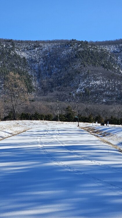
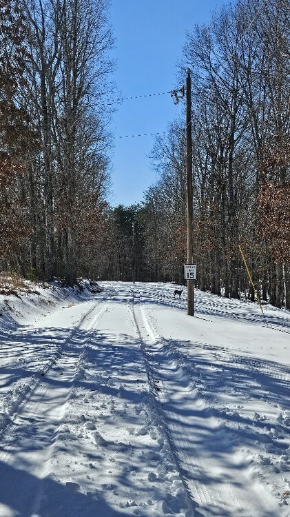
Of course I want the last 2 runs verbatim lol but it seems so unlikely.... Our land is on the east side of smith mtn at the base and our temporary home is at the base on the west side. I've wondered since we moved here what a true noreaster with CCB would look like on both sides. Smith is the first big rise in the western piedmont. About 1,200 vertical. That has to have some orograpic influence with strong E/NE flow. Sure likes to wring out drizzle during April easterlies lol
-
H5 was a near carbon copy which is crazy surprising. It would take so little from the last 2 runs to hit the 95 corridor. Low bombs and is basically vertically stacked before it pulls away. Like you, I totally didn't expect this run wtf gfs lol
-
Think of it like this, you're flying on a jet into 150mph headwinds and it's nice and smooth. Would never know it's windy up there. That's the wind map. Suddenly your drink is on the ceiling and people are puking. That's the vorticity map
-
No they don't. They show 2 very different things. Vorticity (or Positive Vorticity Advection/PVA for our purposes with storms) shows rotation and lift in the atmosphere. This is caused by upper level level winds so the plots bear resemblance but they are not the same things at all. Vorticity maps should be visualized 3 dimensionally while wind maps are basically 2 dimensional.
-
Vort maps are the best depiction of upper level energy and how it progresses. Vorticity is where all the good stuff is born.
-
CIPS analogs from the 12z gfs run are quite weenie'ish... lol https://www.eas.slu.edu/CIPS/ANALOG/DFHR.php?reg=SE&fhr=F108&rundt=2026012712&map=thbCOOP72
-
Iirc, gfs had a hot streak in JFM 2014. It did a good job picking up fast flow shortwaves in the mid range when Dr no was Dr no'ing
-
That's the middle ground I've been thinking about. That or the lead shortwave doesn't dig as far. There's plenty enough on the table to keep us interested in tracking some snow in the area. A big bomb has never been likely but some sort of accum event isn't off the table either
-
Euro AI is mostly a hold with a tick east... dangit
-
This is a touchy setup to put it lightly. Will be a bit of a gut punch if the euro brothers whiff/deteriorate.
-
Gefs trend.
-
This setup is much different. Far more boom bust potential and complex progression than the recent storm. Im not saying I think a boom is likely but the chance of significance shifts in any op/ens suite is FAR greater than the last storm. This is not a 2k mile moisture plume from a typical shortwave
-
12z Icon ensembles made a notable improvement with mean qpf.


