mnchaserguy
-
Posts
230 -
Joined
-
Last visited
Content Type
Profiles
Blogs
Forums
American Weather
Media Demo
Store
Gallery
Everything posted by mnchaserguy
-
Unfortunately this storm isn’t going to dump snow on everybody. That’s just the reality. The 18z hrrr would give the majority of the sub a nice storm. .
-
I wish we could just agree to take what the hrrr shows right now. Chicago gets its storm, Minneapolis gets a nice dumping, Michigan gets a nice storm, and a lot of snow in between. This is about a best case scenario run for this sub. .
-
18z hrrr coming in south from the 12z run, which was already on a southward trend. Maybe the GFS and Euro were right again all along. If that’s the case, why are the short and medium range models so bad? Almost useless. .
-
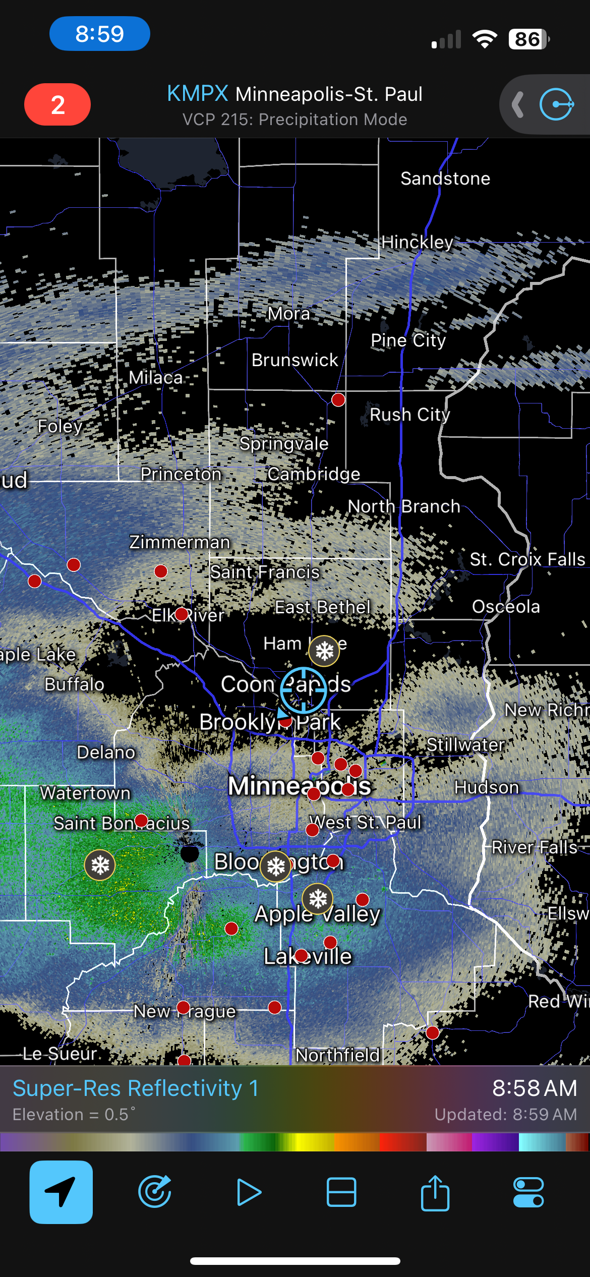
MPX bumped up their snow totals to 4-6” through tomorrow night for the winter storm watch for the Twin Cities. Doesn’t seem like they’re buying into the additional snow on Saturday yet. .
-
Gfs stays south on the 12z. Still gives Minneapolis some snow on Saturday. No matter what it looks like we’ll get some decent snow. Just depends on how much. .
-
Looks like pretty much all the CAMs have the nw track. Only the long range globals are holding on to the se track. A few years ago clinging to the euro might’ve made sense but it is not the king model it used to be. Having said that I probably just jinxed Minneapolis out of any snow. .
-
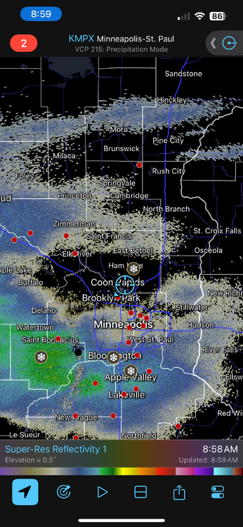
Little band of snow over the Twin Cities just blew up on reflectivity into a full on snow band. Must be some better forcing working its way towards us. Might end up with a little surprise if this holds up for a while. .
-
Even last year the north side got the short end of a lot of the storms. If the NWS got over 100”, the airport got 90”, I bet we got 80-85”. Still a lot, but it always amazes me how much of a difference those 10-20 miles across the metro can make for snowstorms. .
-
Stuck in a dry pocket on the north side. Sometimes I really hate that I care… .
-
I’d honestly be happy if we squeaked out a few inches from this after it looked like a complete miss for us. .
-
Yep, we had an inch or two on Halloween too. Not often we get a white Halloween and brown (or green) thanksgiving and Christmas. .
-
Looks like we’ll end up with more rain on Christmas than we did in May and June combined. .
-
Yup. It was fun while it lasted. .
-
Euro has picked up on it too, although not quite as drastic. .
-

April 2023 General Discussion
mnchaserguy replied to PositiveEPOEnjoyer's topic in Lakes/Ohio Valley
Tried posting a pic but it’s not working. It’s snowing again in MSP. It’s not much but it’s sticking in the grass in the yard. Officially over this crap. -
Severe Weather 4-19-23 through 4-21-23
mnchaserguy replied to cheese007's topic in Central/Western States
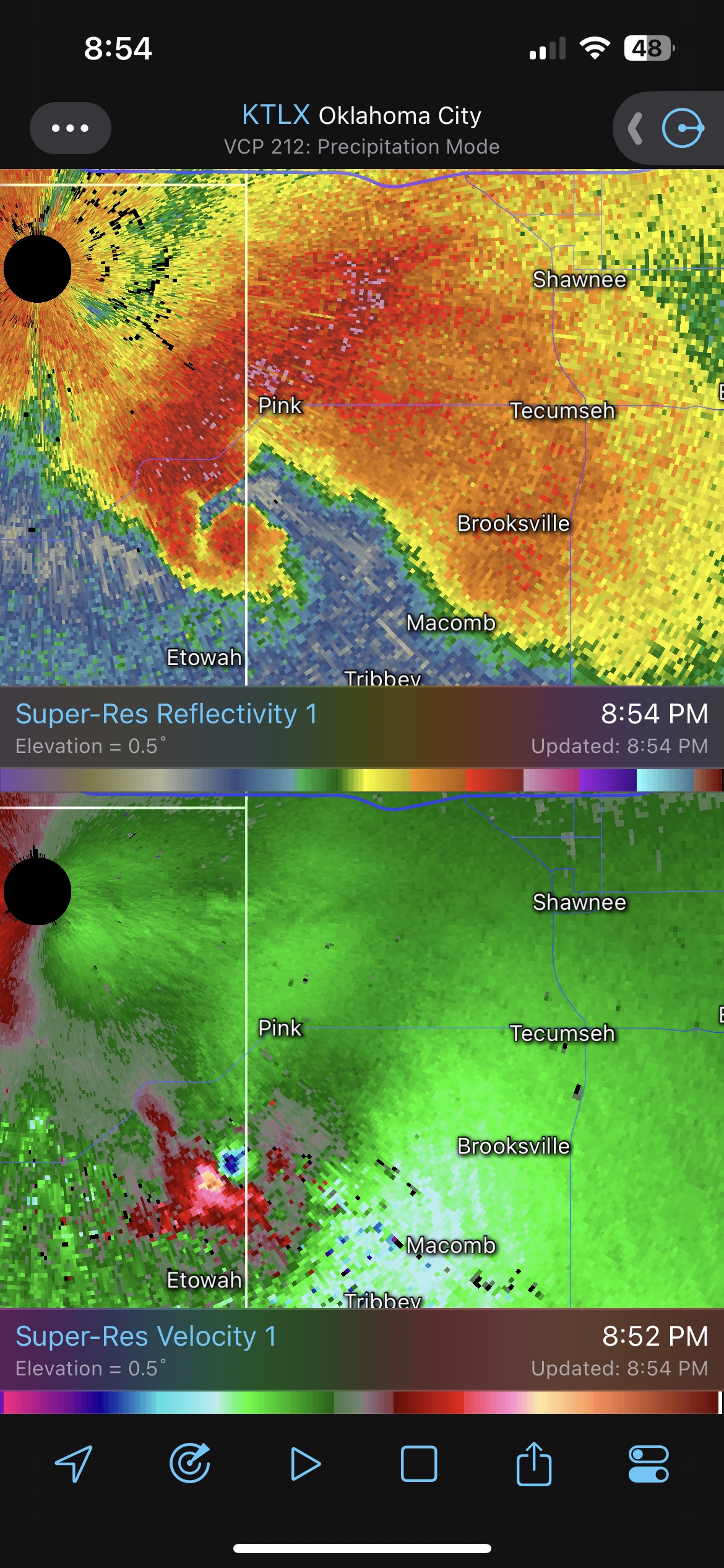
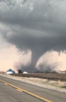
It doesn’t get much more classic than this earlier tonight. .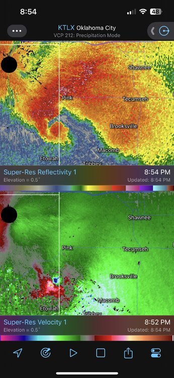
-
April 2023 General Discussion
mnchaserguy replied to PositiveEPOEnjoyer's topic in Lakes/Ohio Valley
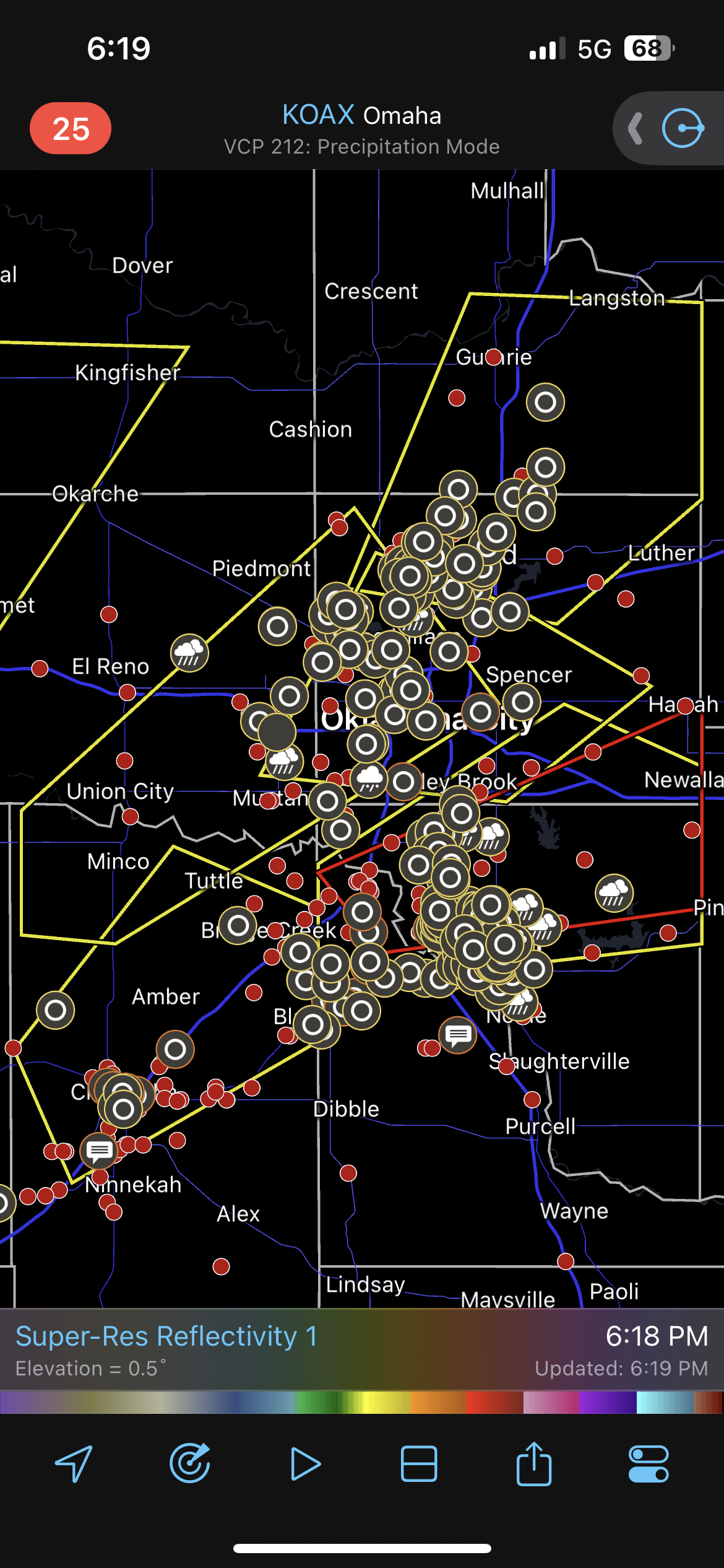
I guess it hailed a little bit in OKC tonight. .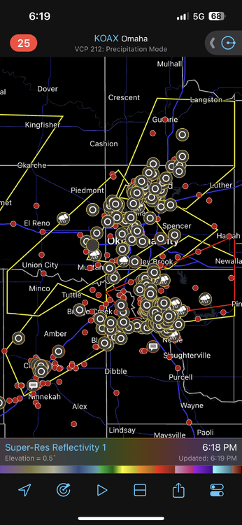
-
April 2023 General Discussion
mnchaserguy replied to PositiveEPOEnjoyer's topic in Lakes/Ohio Valley
It was almost 90 on Friday… .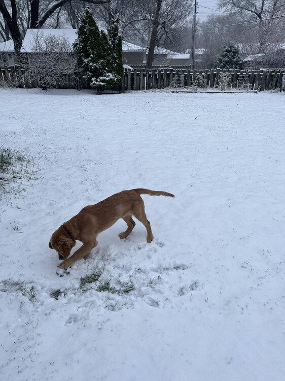
- 512 replies
-
- 10
-

-

-
April 2023 General Discussion
mnchaserguy replied to PositiveEPOEnjoyer's topic in Lakes/Ohio Valley
If that trend keeps happening maybe we’ll end up in that 25” bullseye by tomorrow. . -
April 2023 General Discussion
mnchaserguy replied to PositiveEPOEnjoyer's topic in Lakes/Ohio Valley
It’d be one thing if it was just one or two models but everything I’ve seen seems to be trending upwards. A lot still has to come together just right this time of year but it sure seems like we still have a shot at breaking the season record. . -
April 2023 General Discussion
mnchaserguy replied to PositiveEPOEnjoyer's topic in Lakes/Ohio Valley
Seems like models are trending towards more snow for us. Nam is especially bullish. . -
April 2023 General Discussion
mnchaserguy replied to PositiveEPOEnjoyer's topic in Lakes/Ohio Valley
Going from multiple days near 90 to models showing a foot of snow is rude. Going from 88 yesterday to 45 today is bad enough. Should be interesting to see if the snow pans out tomorrow. -
April 2023 General Discussion
mnchaserguy replied to PositiveEPOEnjoyer's topic in Lakes/Ohio Valley
It’s a bummer the higher snow totals here for MSP are still so questionable. Would have been great to have a WSW while we were in the mid to upper 80s today. . -
Spring 2023 Medium/Long Range Discussion
mnchaserguy replied to Chicago Storm's topic in Lakes/Ohio Valley
It’s going to be 80 on Wednesday. We may still have a shot at breaking our snow record a few days later. . -
April 2023 General Discussion
mnchaserguy replied to PositiveEPOEnjoyer's topic in Lakes/Ohio Valley
We had blizzard warnings last Friday here in MSP. Looks like we have a real shot at hitting 80 degrees next Wednesday. Gotta love spring in Minnesota. .