Hurricane Agnes
-
Posts
9,274 -
Joined
Content Type
Profiles
Blogs
Forums
American Weather
Media Demo
Store
Gallery
Everything posted by Hurricane Agnes
-
Norman pulled the trigger for the area -
-
Hit a high of 71 yesterday with a nice breeze and low humidity and bottomed out at 45 this morning after the winds went calm just around 3 am. Currently partly cloudy, with temp rebounding and up to 47 with dp 33. Last day for oven use for the next couple days (made some brownies yesterday and considering making a quiche today)!
-
And nothing measurable overnight... Temp has been steadily dropping early this morning from a high of 74 at midnight and is currently down to 68 at post time. Dews have dropped into the lower 60s vs the upper 60s/low 70s yesterday. The humidity should be gradually dropping through the day today per the forecast.
-
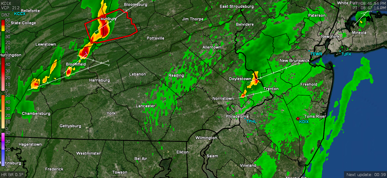
And a swing and a miss! That cut right north of me by a couple miles. Maybe I'll get what is way west of here in another round if that even survives the night (I think that line is with the actual front). Temp down to 72.
-
I'm finally getting swiped by some of that. Walks and streets are wet (nothing measurable yet). I'm about 5 miles SW of Jenkintown (had bought my last car there at one of the dealers on the Fairway). Edit - the bucket tipped for 0.01".
-
Not a drop here yet. The southern part of the line has been really dragging and fizzling (maybe due to the instability focusing further north with the higher temps there today). Seeing a lot of dark clouds rolling by overhead but nothing from them. If that blob in Chesco manages to hang together as it crawls east, I might get swiped by it. Temp is down to 75 here.
-
Looks like it fizzled out except for a small blob Chesco heading for Delco. The light returns showing over me aren't making it to the ground. Temp did drop down to 78.

-
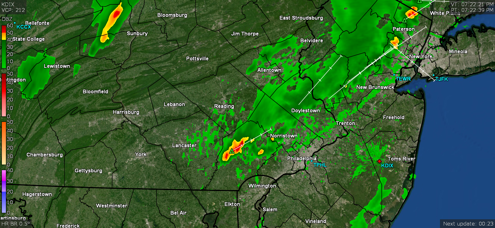
I figured your camera would get all excited about that line.
-
Yeah it's been training over that are for awhile now. I topped off at 85 (so far) but it's down to 84 now but with a dp of 69 and some ominous clouds off to the west.

-
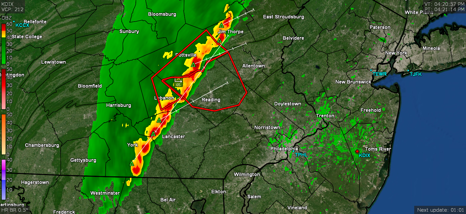
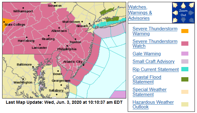
Norman, OK lofted a Severe Thunderstorm Watch for the Western Burbs

-
Ended up with a high of 83 Wednesday and of 78 yesterday (due to the overcast tropical-ey conditions), with 0.09" rain. Finally got chance to move the rest of my overwintering tropical/subtropical plants (including herb seedlings) outside. Some of that should have been out a month ago but the April showers and May frosts were precluding that. Currently 72 with dp 68 and overcast with mist.
-
Some more from the Washington Post Capital Gang - https://www.washingtonpost.com/weather/2019/11/05/category-super-typhoon-halong-among-strongest-storms-ever-observed-by-satellite/
-
Here is an article on the follow-up of that -
-
-
The issue of "threat" (and "risk") will always be "mush". And mainly because it becomes a damned if you do, damned if you don't scenario when you attempt to definitively characterize something and you end up being "wrong" because of an outcome that went to the other side of the "wiggle room" spectrum (probability range) from what was expected. It's akin to teasing out the degrees of difference between near-synonymous words like "shall", "should", "will", and "must". The hope is to be able develop tools to help reduce the probability range. There is a similar issue that goes on with the aftermath of an EFx tornado vs straight-line winds. There has been tremendous damage done to infrastructure from straight-line winds akin to tornado damage, but the mechanisms (and debris patterns) behind either phenomena are different and this often triggers public frustration on what to call the "cause" of the damage they might experience or have experienced. I.e., the public is more familiar with the term "tornado", whereas "straight-line winds" is a more nebulous term and is often automatically considered as "less than a tornado", yet the damage can be the same or even worse. This is not so much a scientific issue as it is a "perception" issue that happens with media reporting. The implementation of the "key" things to know - notably the potential "impact", is a good step in the right direction (knowing however that the average person is not visiting the point-and-click maps on the NWS site for their locations to read the actual warning text and are usually getting their weather news filtered by the media on TV, radio, or even from a smart-device weather app). I really don't think there is a good way to resolve this (at least off the top of my head and in a manner that doesn't introduce a dozen technical terms for damage-causing "storms" - not unlike differentiating hail from sleet... or snow from rimmed flakes or graupel... let alone explaining the ice caused by freezing rain when the air temperature is above freezing). One thing that I thought was pretty cool that NHC had done was the creation of an animation illustrating the type of damage a hurricane of "x" range of wind speed could generate. Unfortunately it is a flash animation (and really should be converted to something like an animated gif or perhaps a HTML5 animation), but can be found here as a standalone - https://www.nhc.noaa.gov/animations/images/hurricane_winddamage.swf (and is also embedded here - https://www.nhc.noaa.gov/aboutsshws.php) This type of illustration could actually apply to any type of system that produces extreme winds (whether hurricane or tornado or straight-line winds, etc). The visualization pretty dramatically illustrates wind force and its potential impact (assuming the infrastructure wasn't already compromised by age or other factors). But it would also behoove the media to pass this type of thing along as well, perhaps as a public-private partnership/collaboration. As it is, there is quite a bit of rancor that goes on between the private forecasters and the public ones and this sadly tends to cloud (pun intended) the issue of communicating hazards as well.
-
I think realistically, there isn't much if any difference between a high-end CAT 4 and a low-end CAT 5, as these terms are nothing more than artificial constructs for data categorizing purposes, where in either case, the potential damage impact is the same - catastrophic. Since "CAT 5" is the highest designation for the scale, it behooves balancing the "drama" of the term with the confirmation that it is truly sustained at that level, as there is no other category "officially" above that level. And when conditions are at the threshold of either designation and one is trying to communicate that to the public, it requires extra care to assess the risk of what might be confusing frequent category changes, while working around the media's propensity to exaggerate (for ratings). So there is a need to confirm, without doubt, that the category has truly been achieved and sustained, again with the knowledge that whether it is a high-end CAT 4 or a low-end CAT 5, the damage is the same. I do expect like what was done with the "S word" storm in 2012, there will be a "Lessons Learned" activity as part of the full reanalysis of this storm. NHC took a big hit because the existing criteria was correctly followed when that storm became post-tropical and was no longer considered a "hurricane" ("hurricane" being a term very recognizable by the lay public). However public outrage ensued because anything less than the use of that term for a storm with equivalent winds/rain/surge and damage impact, became unnecessarily confusing to the public due to the focus on the technicality of "tropical" vs "post-tropical". I.e., to the scientific met community, that storm's technical makeup and dynamics had changed ("quantitative"), but to the public, the "look" and "feel" and "impact" had not ("qualitative"). And now with climate change altering storm behavior, we are seeing storms maintain tropical characteristics further north in latitude than in the past, often due to a warmer ocean further north. So in a similar fashion, they may look at ways to more quickly but definitively declare a storm as having achieved that highest category (outside of reported wind speed at the surface through dropsondes) without compromising the science behind the confirmation. I think this would really be a good idea to do given the sudden increased frequency of such storms (and as we know here, this was the 5th one in 4 years, where in the past, this level of storm was more rare). You might recall the same issue with Hurricane Michael and a decision, after a post-storm reanalysis, to upgrade it to a CAT 5 at landfall.
-
Here is a heartening response from the NOAA Oceanic and Atmospheric Research (OAR) group - https://www.research.noaa.gov/article/ArtMID/587/ArticleID/2489/A-Message-from-Craig-McLean-Hurricane-Dorian-and-Exceptional-Service
-
I agree we probably should but it will be doubtful that it would be done. If anything, they might consider going as far as making it a "standalone" (like EPA) or even like FEMA, particularly after the fiasco of FEMA when it was neutered after being shoved under DHS, later prompting Congress to make them a standalone agency again. In fact, since I mention EPA, they should probably be included in some standalone grouping with NOAA and USGS as you suggest.
-
Most likely because what they do involves monitoring conditions that might impact movement of goods - i.e., shipping (whether over land, in the air, or at sea).
-
In reference to the NWAS meeting going on - some tweets of note - The above in reference to NWS head Dr. Uccellini's remarks this morning regarding his public support of the Birmingham FO (video of those remarks in the tweet below and he got a standing ovation near the end of his speech when he explicitly praised the staff for doing the right thing) -
-
The agenda for Tuesday is here - https://nwas.org/annual-meeting-events/annual-meeting/meeting-agenda/#tuesday-glance And it looks like a pretty tight schedule. Dr. Jacobs has a 30 minute slot and then someone else is on at 8:30 am (someone presenting a research paper), so I doubt there will be any Q&A associated with his remarks. Usually keynotes at professional meetings don't have Q&As and tend to run 45 minutes or more (and often occur in a "prime time" morning slot or as part of a dinner), so this seems pretty "short" to be considered "keynote" outside of them calling it that due to his position in public service... and they have other folks scheduled to give "keynotes" after him.
-
-
-
Josh started a first-person account of his Dorian experience via a twitter thread. Here is a link to the unrolled version (with 5 tweets so far) - https://threadreaderapp.com/thread/1170675844815216640.html
-
Don't mess with Amidala.