-
Posts
9,273 -
Joined
Content Type
Profiles
Blogs
Forums
American Weather
Media Demo
Store
Gallery
Everything posted by Hurricane Agnes
-
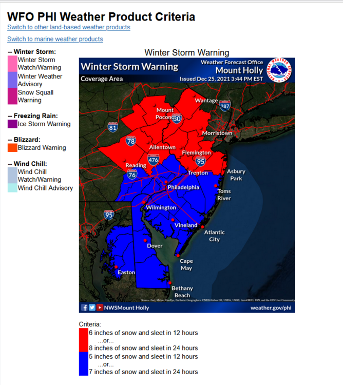
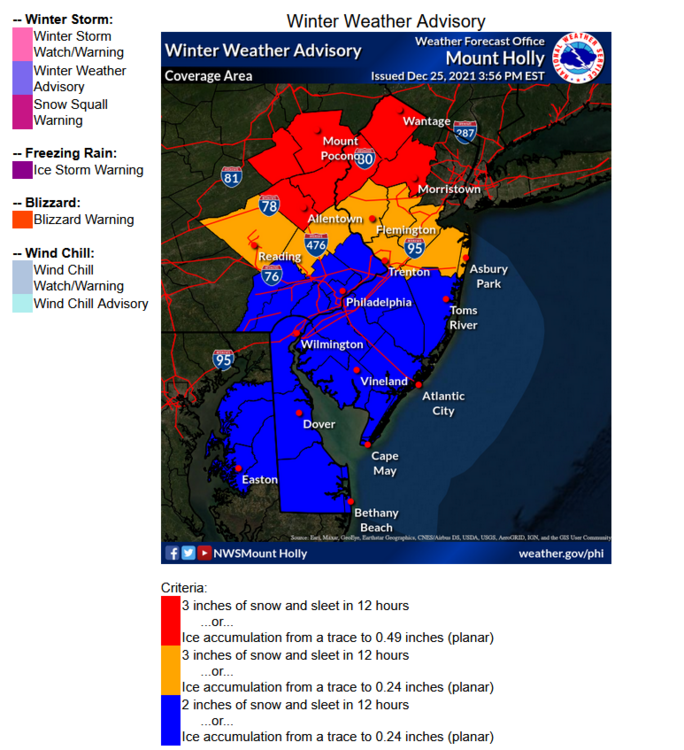
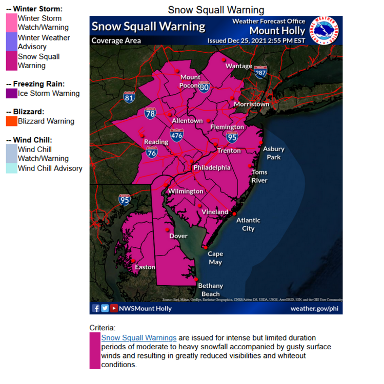
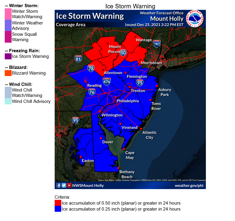
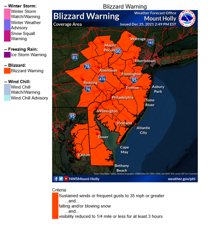
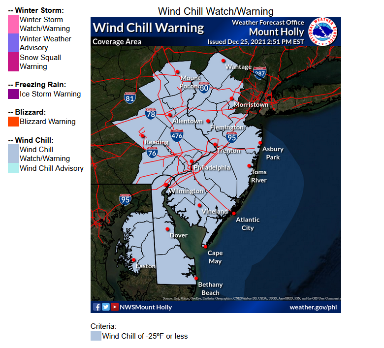
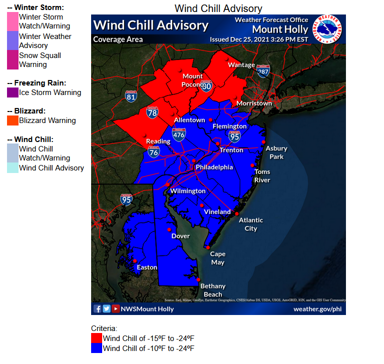
Here is a link to Mt. Holly's Winter Weather Criteria for Warnings/Advisories (the page uses a mouse-over feature to show the regions and it will display the criteria legends at the bottom but I snap-shotted them to make it easier) - https://www.weather.gov/phi/criteria-winter Each region within the CWA has different criteria for what triggers use of each product.
-

E PA/NJ/ DE Winter 2021-22 OBS Thread
Hurricane Agnes replied to JTA66's topic in Philadelphia Region
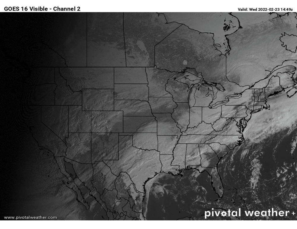
Had an earlier "low" (because that won't end up being today's "low") of 57 and am currently overcast and 61 w/dp 56. You can sortof see the front on the move on satellite! -
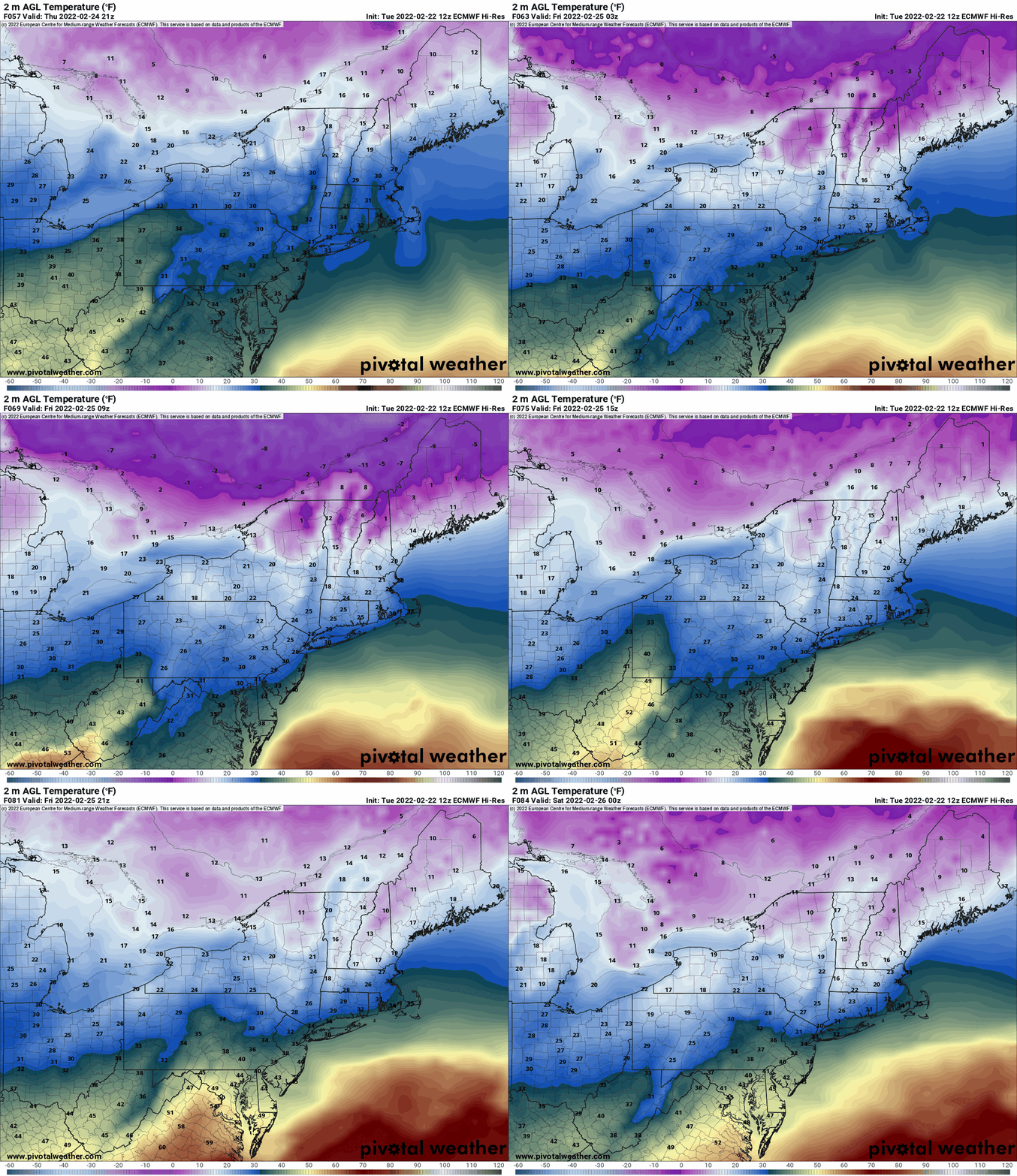
Generally we do switch from a mix to rain down this way but we have a number of members who are from up there and even the closer-in NW 'burbs, so I definitely wouldn't dismiss this. I don't think it will get to be 70 outside of maybe the most southern parts of the CWA (e.g., Delmarva, etc) and that warmth is ahead of the down-sloping caused by an incoming cold front with some serious (but modified as it moves east) cold from the upper MW. Right now, the cold air has just moved across the western PA border from OH (image from NCEP's 9:30 am surface temp obs) and the front is supposed to come through later this afternoon. The high tomorrow is going to be in the low to mid 30s before the event actually starts (which is supposed to be in the afternoon and go overnight). It will be a thread the needle thing depending on where the freezing line sets up.
-
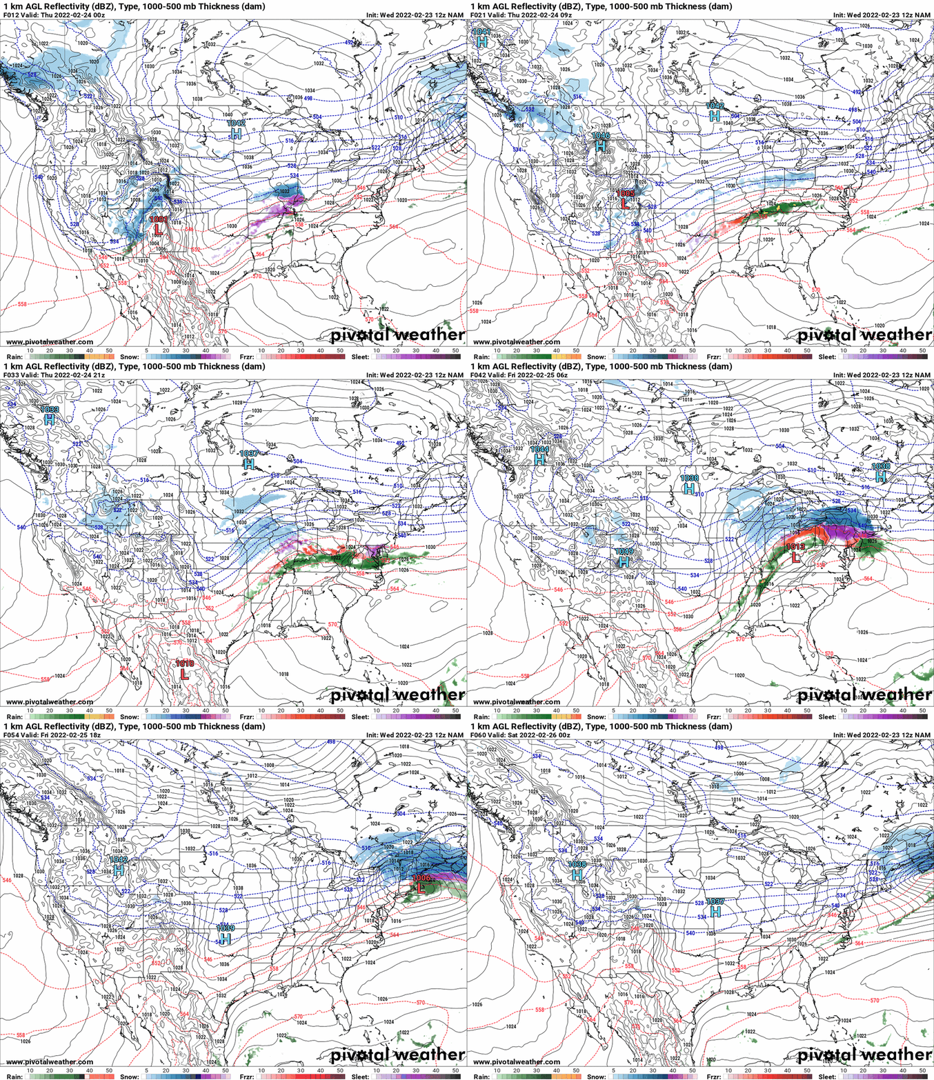
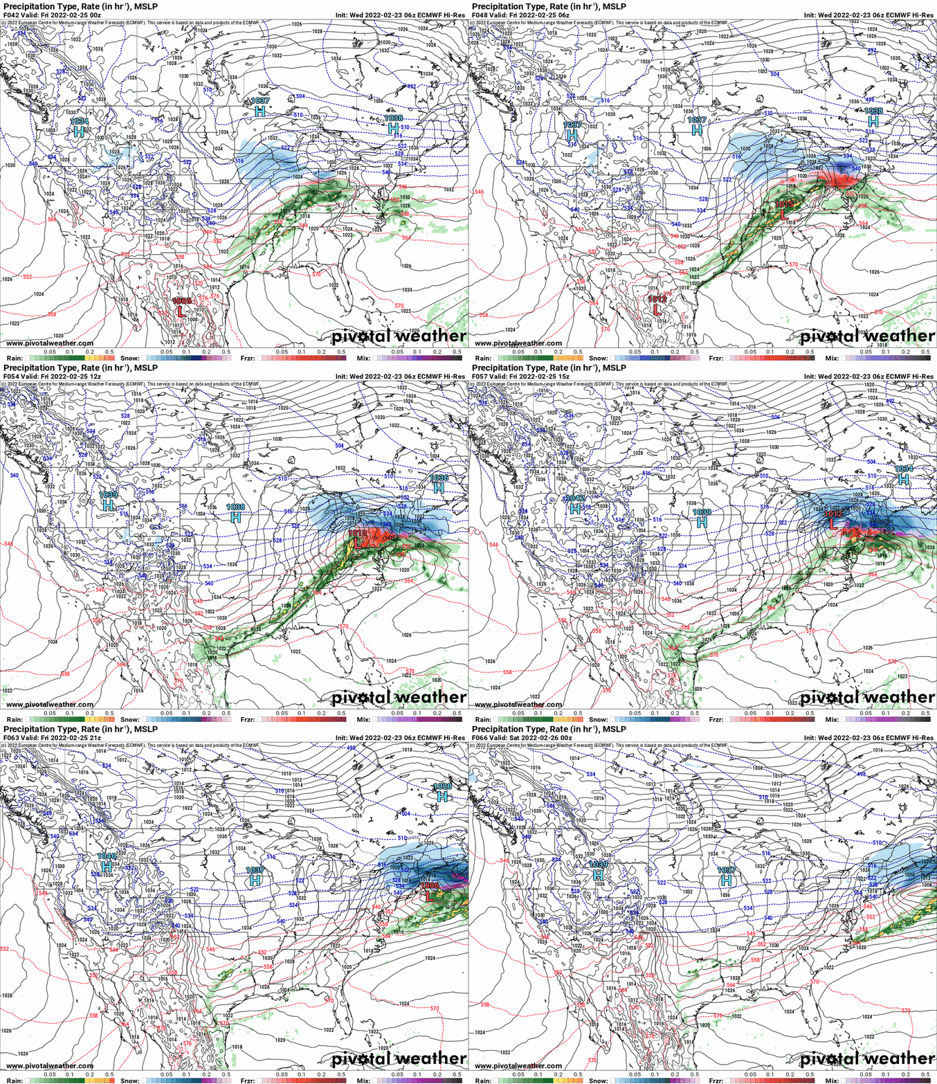
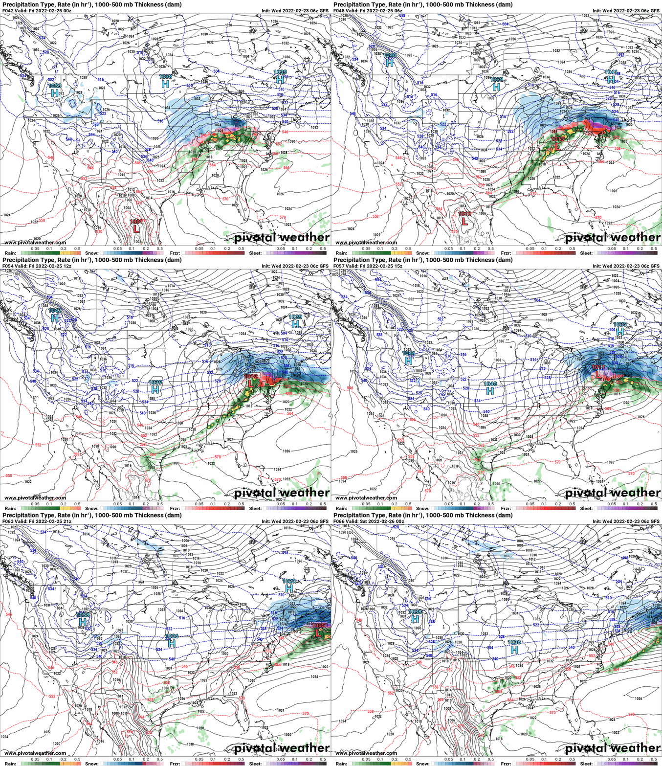
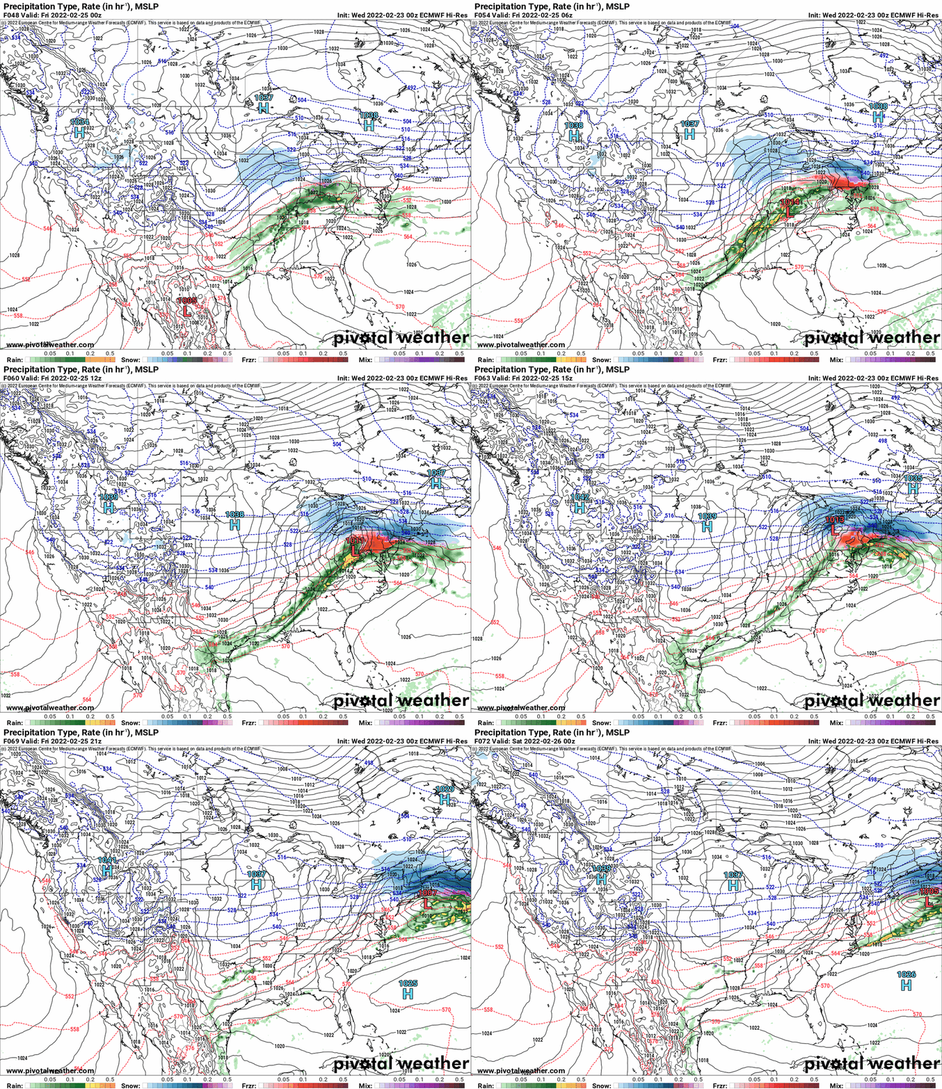
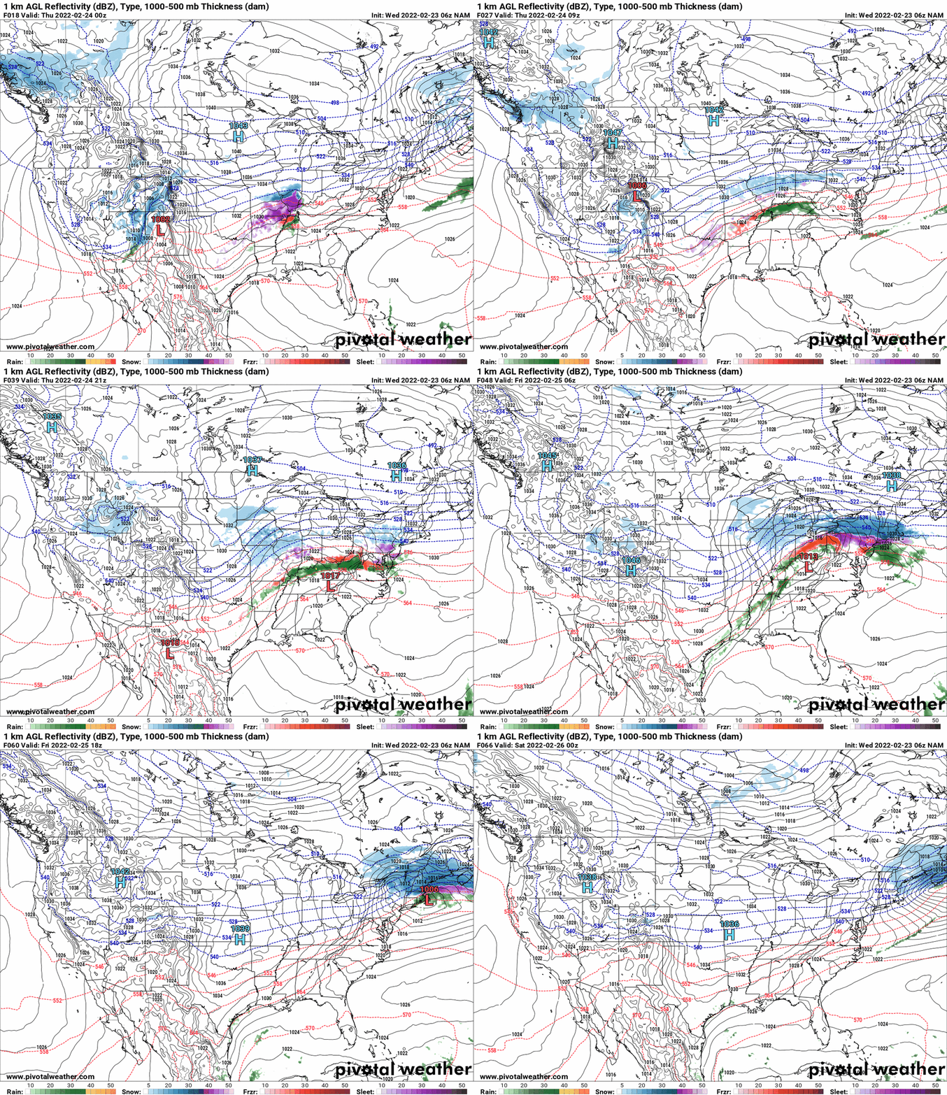
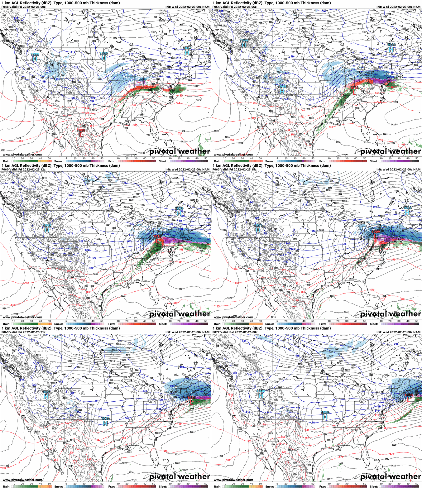
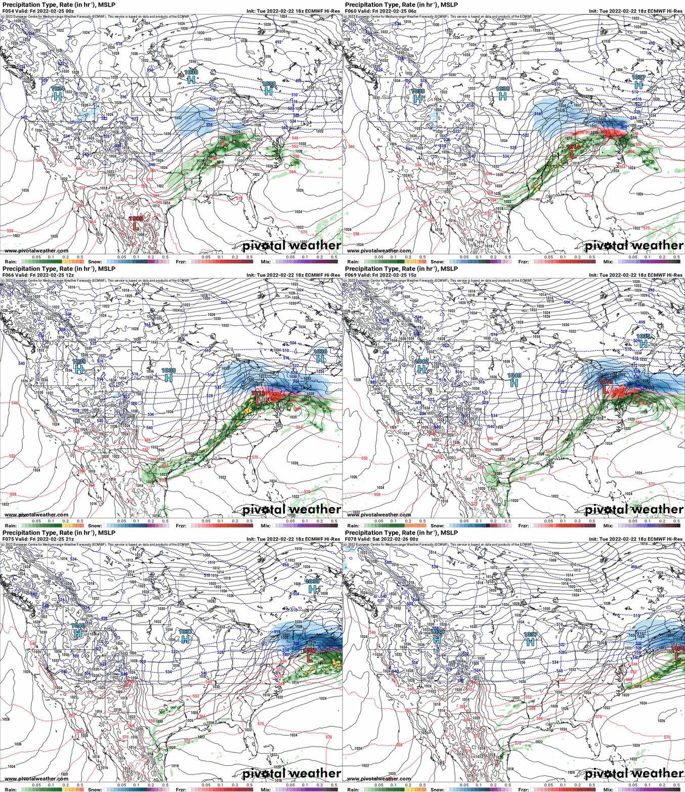
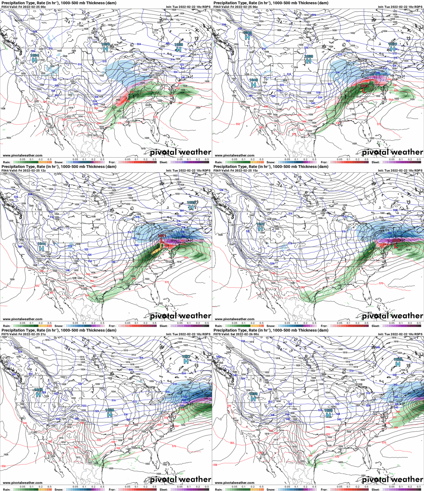
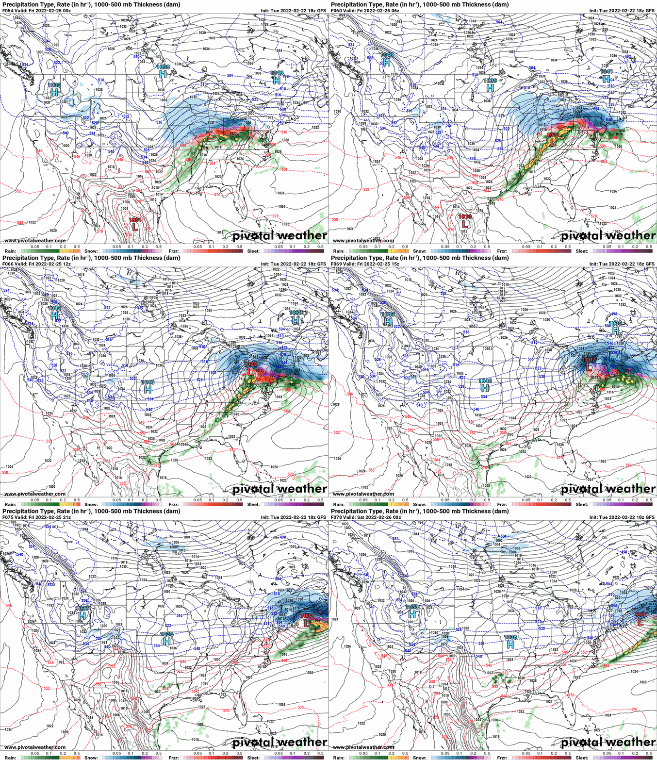
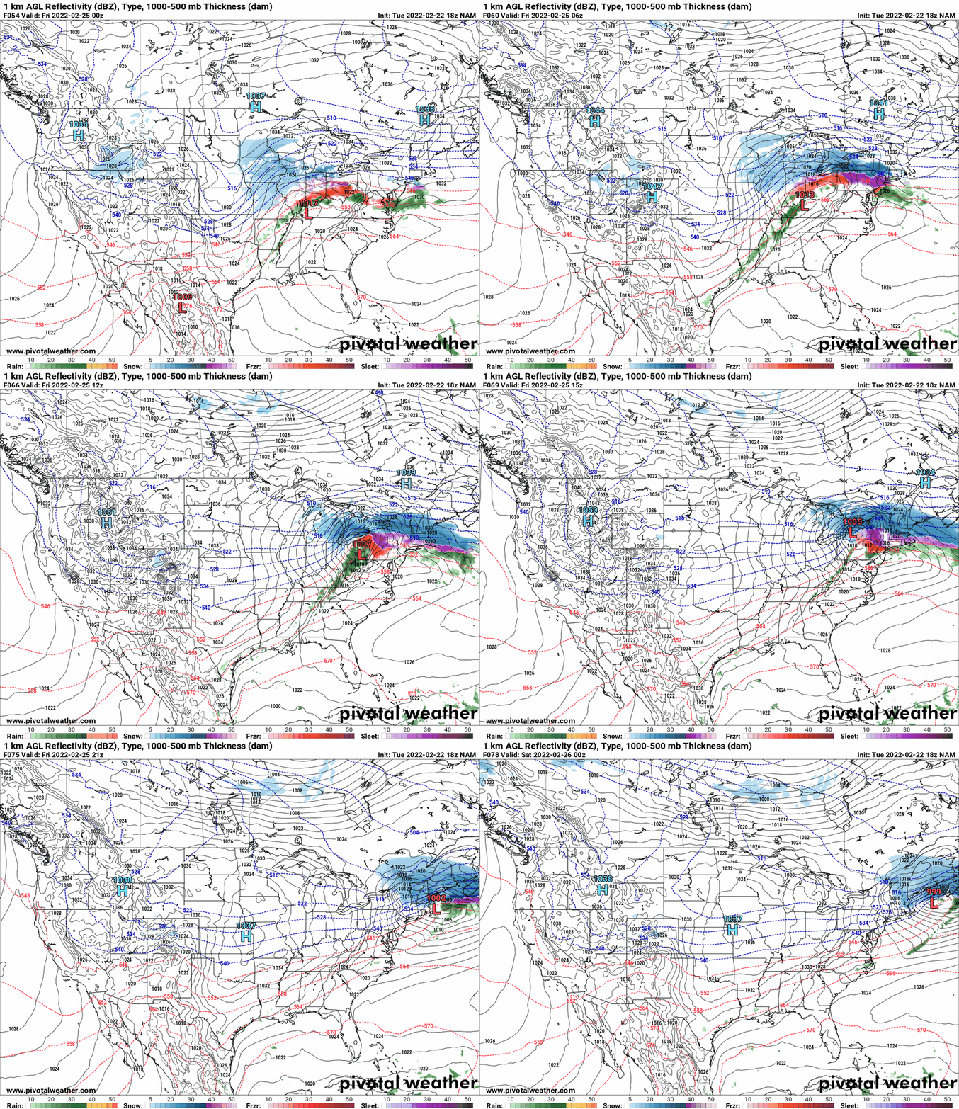
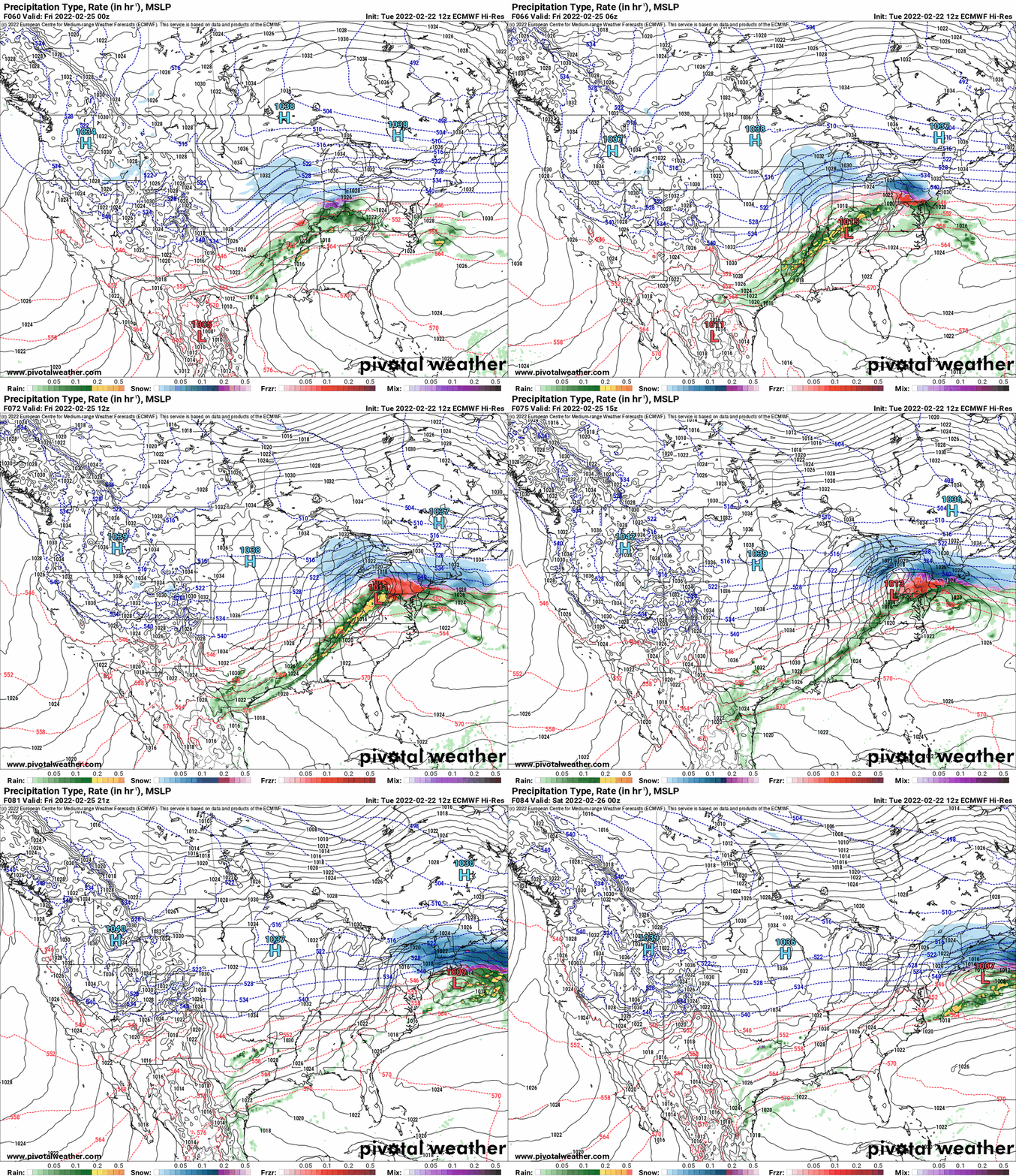
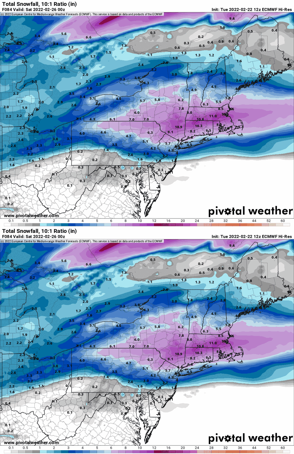
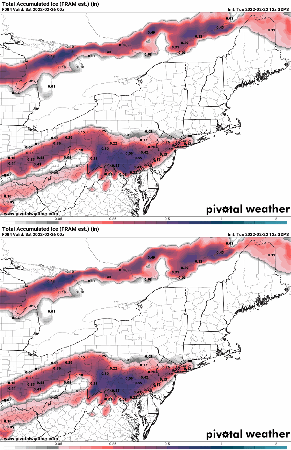
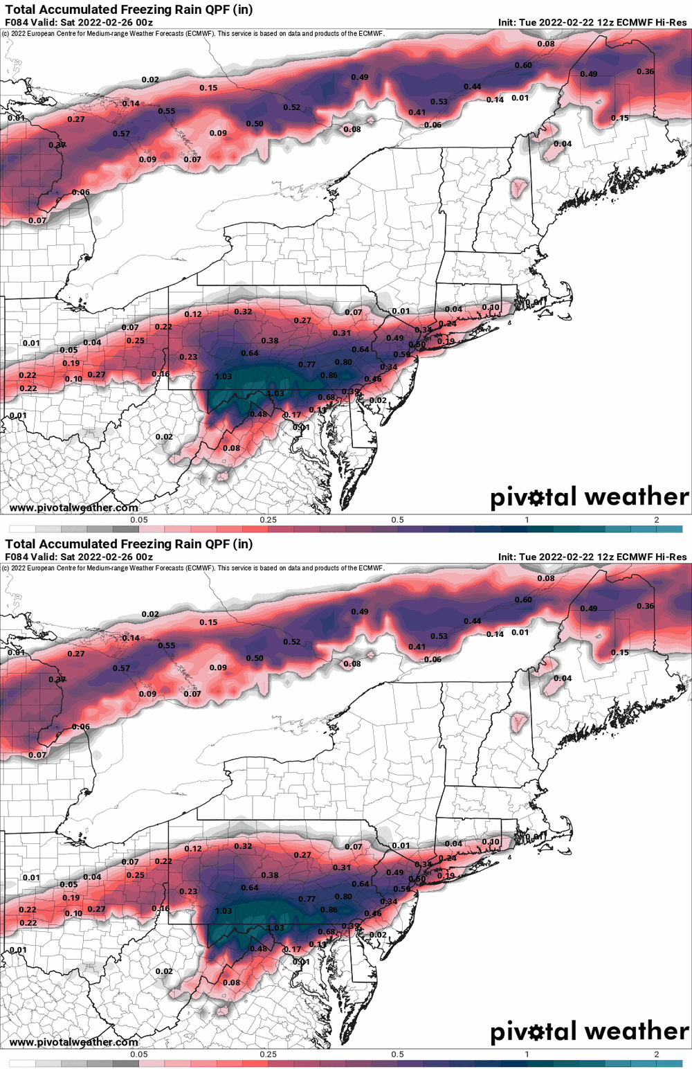
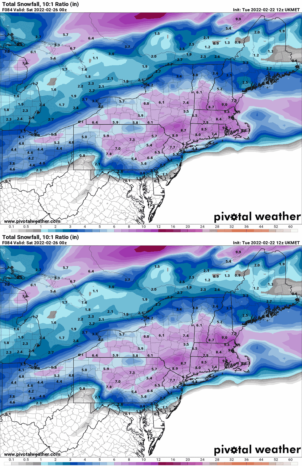
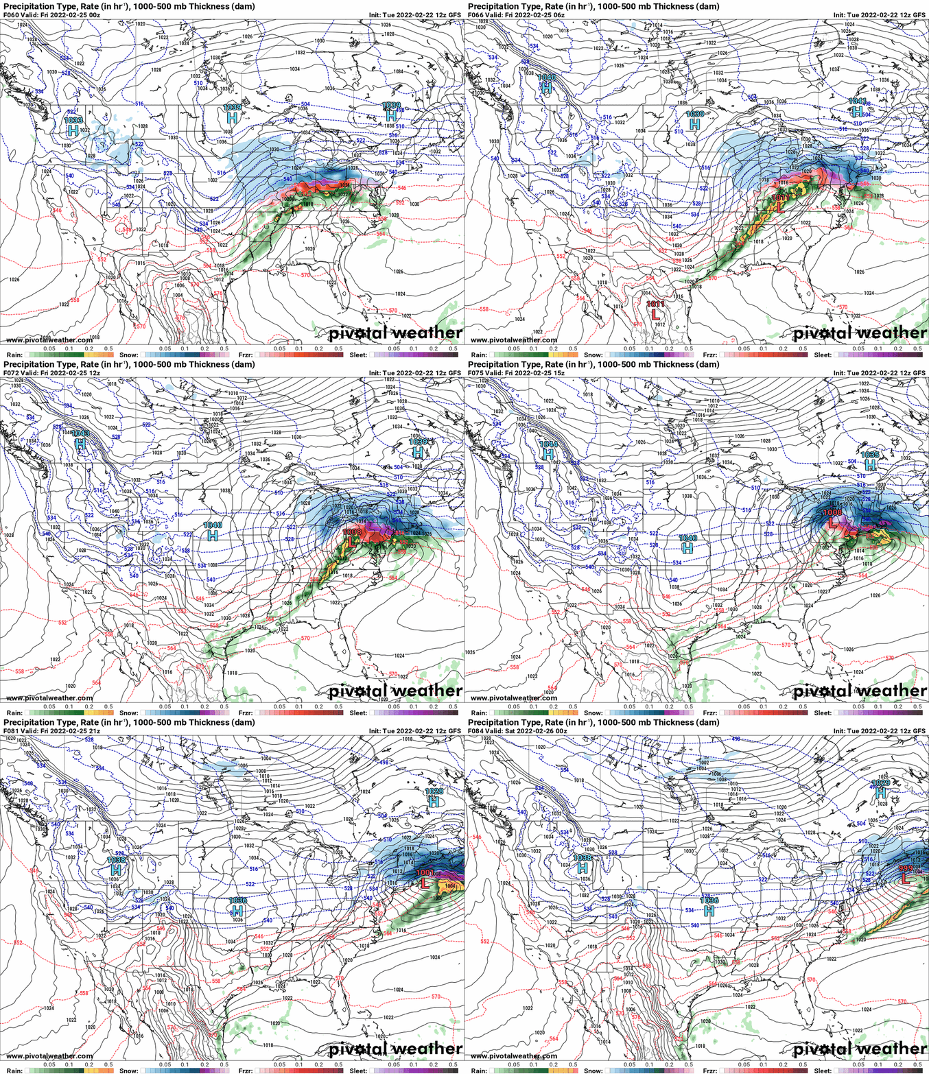
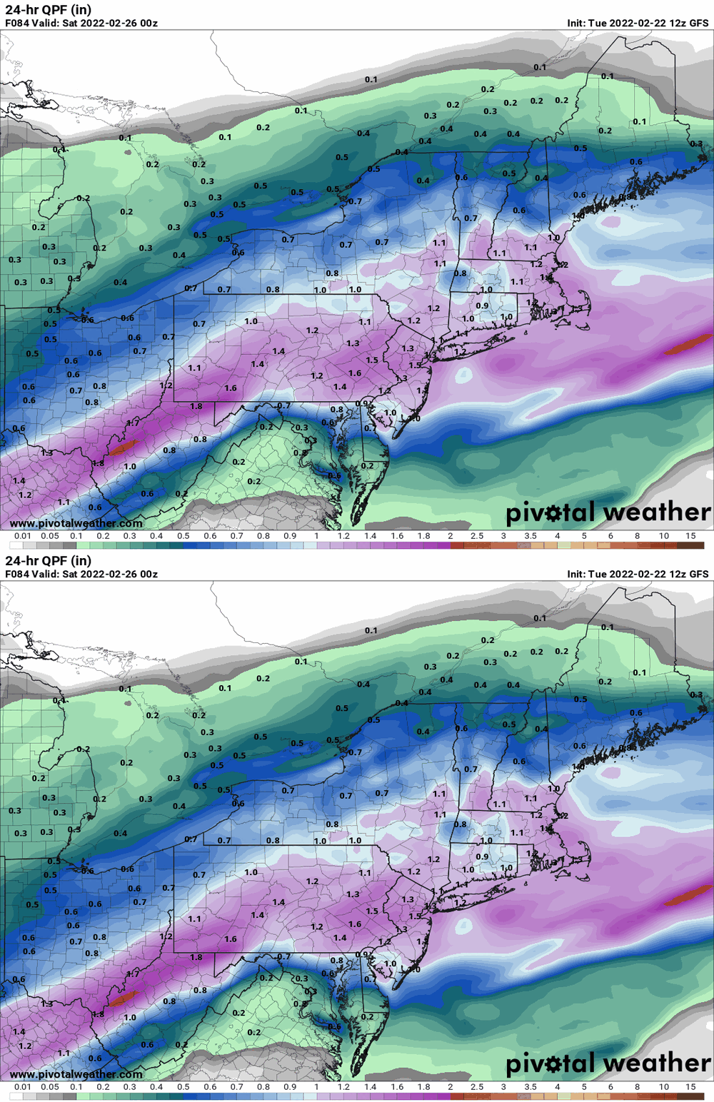
Looks like each side remains in their corners. GFS/EC with some kind of precip through the storm and NAM doing the dryslotting (although the NAM has some kind of antecedent brushes with some precip before the main low comes into play). I think the message is that there will be some kind of overrunning event that will be impacted by whereever the freezing line sets up.
-

E PA/NJ/ DE Winter 2021-22 OBS Thread
Hurricane Agnes replied to JTA66's topic in Philadelphia Region
Hit 59 as a high today (so far as the temps have been up and down with the rain). The low was 38 and it's currently 56 with light rain, 0.16" in the bucket, and dp 55. -

E PA/NJ/ DE Winter 2021-22 OBS Thread
Hurricane Agnes replied to JTA66's topic in Philadelphia Region
LOL -

E PA/NJ/ DE Winter 2021-22 OBS Thread
Hurricane Agnes replied to JTA66's topic in Philadelphia Region
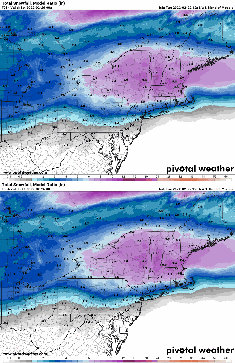
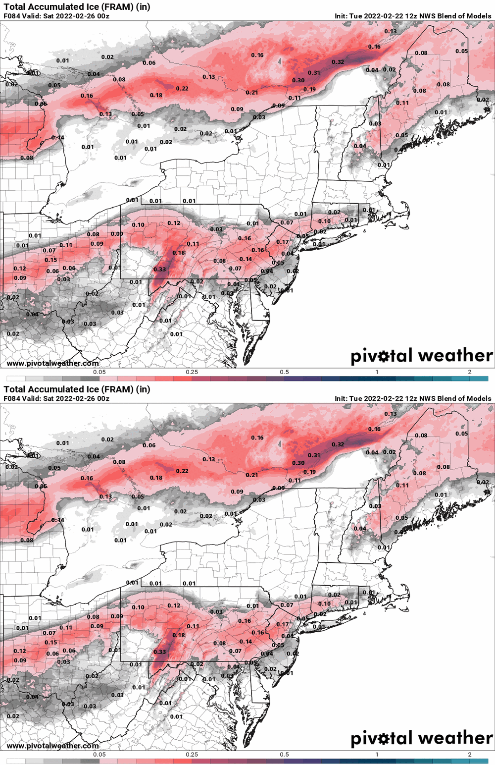
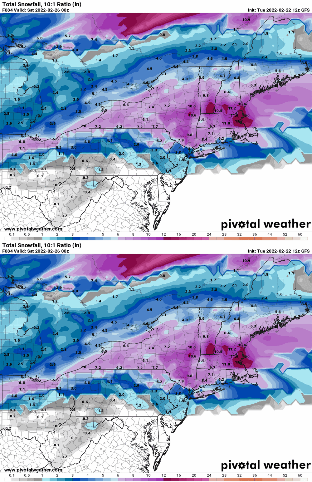
NBM trying to keep it real with the ice and throws some snow up north (might be weighted more to the NAM solution). -

E PA/NJ/ DE Winter 2021-22 OBS Thread
Hurricane Agnes replied to JTA66's topic in Philadelphia Region
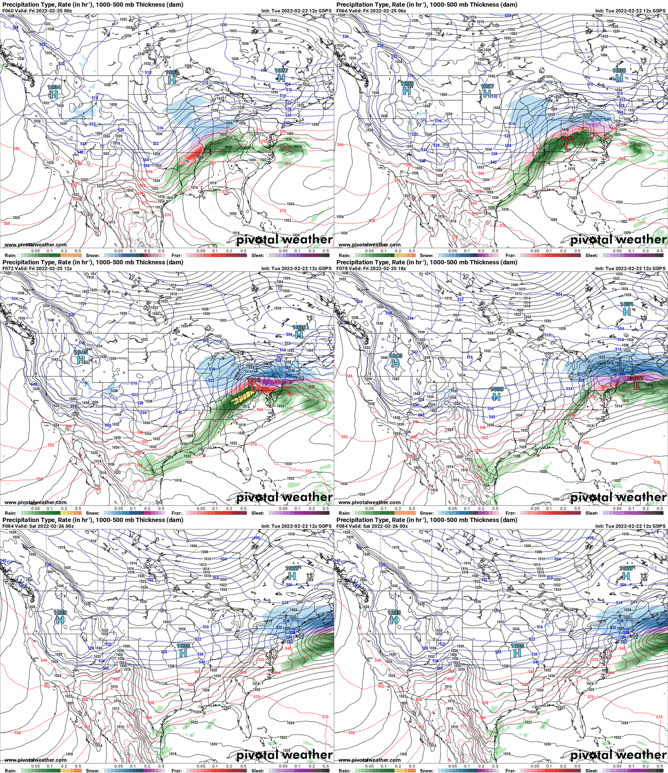
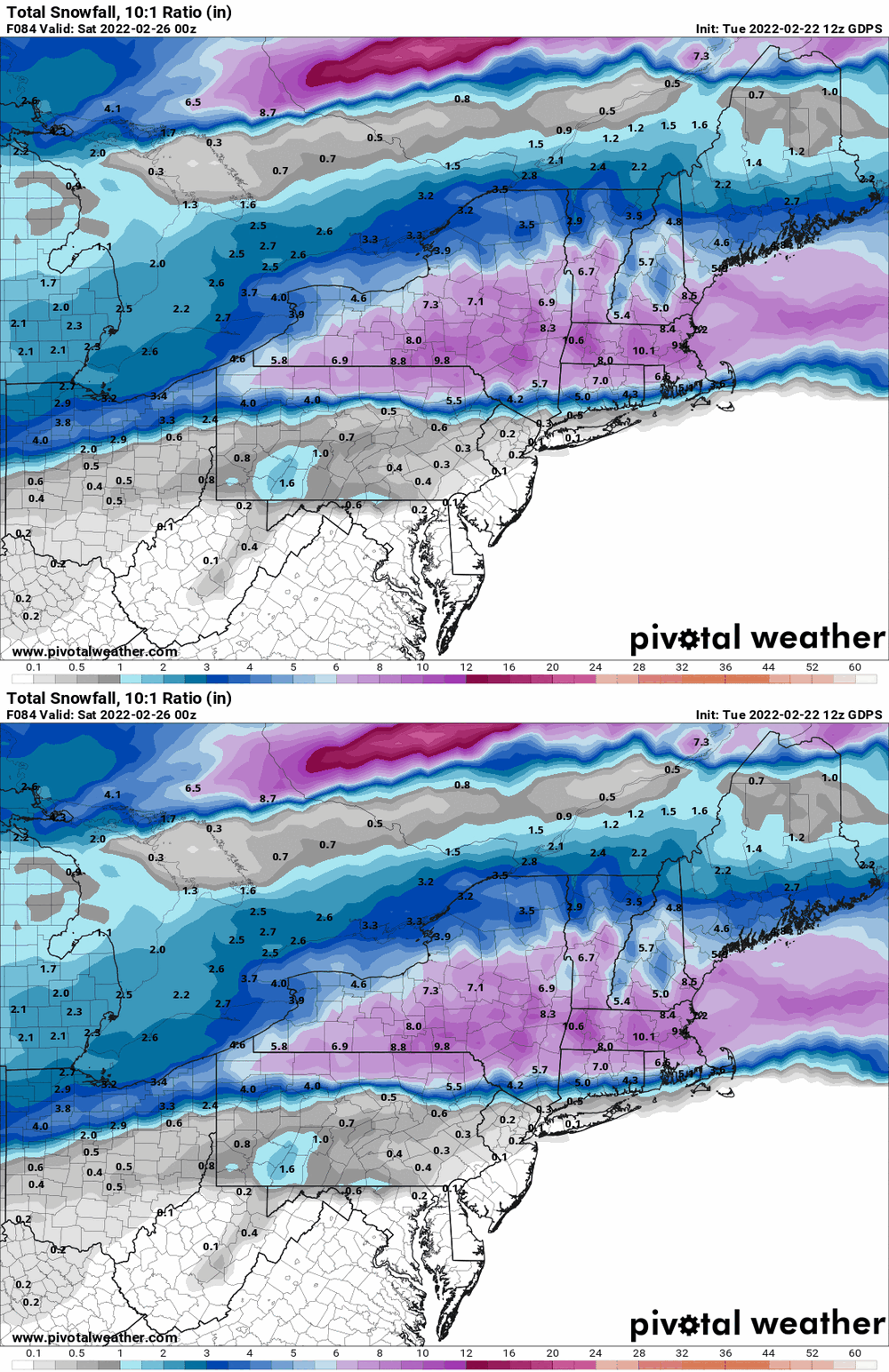
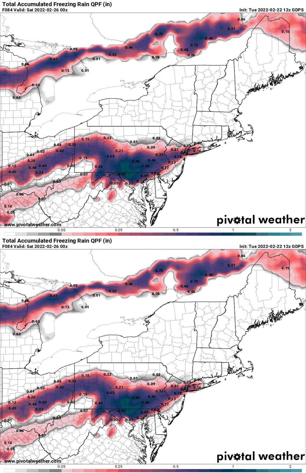
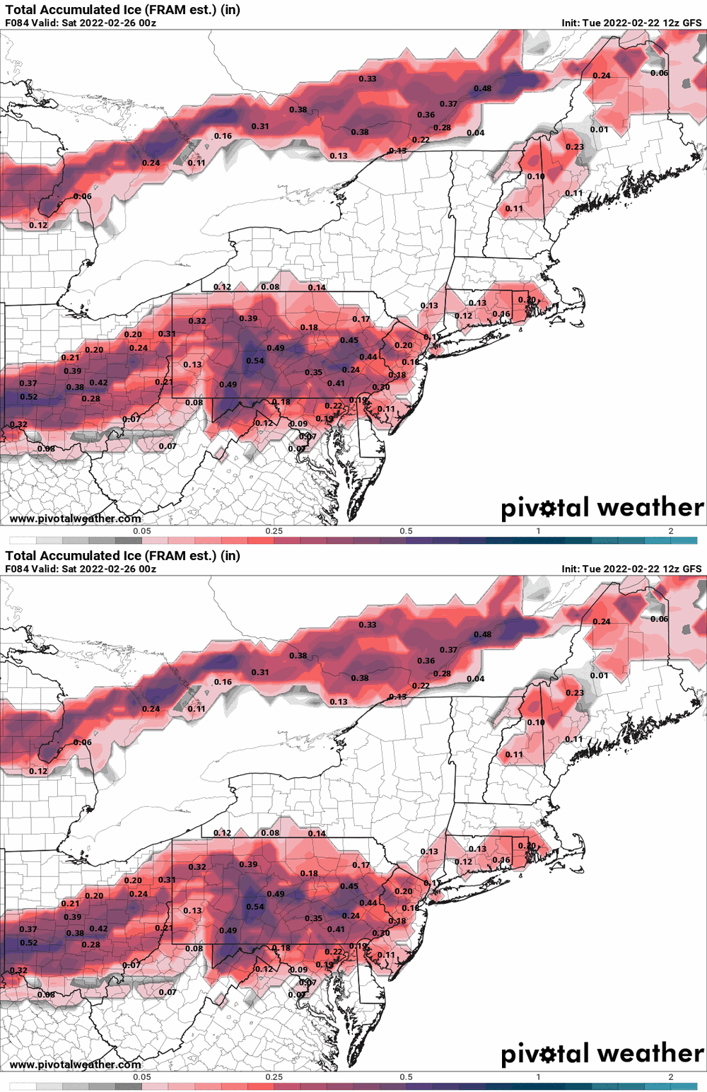
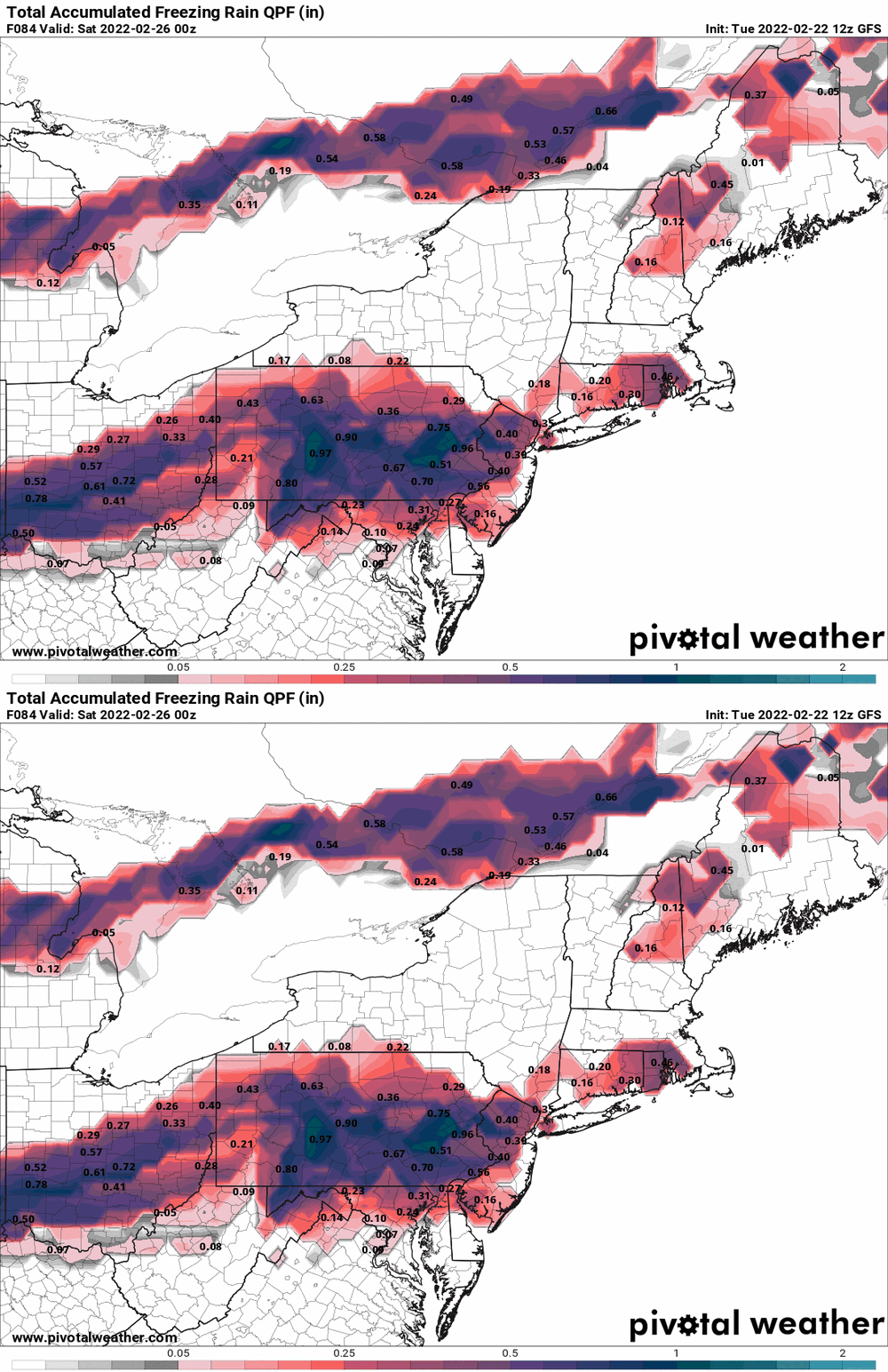
Seems the NAM's "dry" forecast is standing alone. GFS & GEM are not having it (although the GEM sortof spares I95). -

E PA/NJ/ DE Winter 2021-22 OBS Thread
Hurricane Agnes replied to JTA66's topic in Philadelphia Region
-

E PA/NJ/ DE Winter 2021-22 OBS Thread
Hurricane Agnes replied to JTA66's topic in Philadelphia Region


