Iceresistance
-
Posts
4,190 -
Joined
-
Last visited
Content Type
Profiles
Blogs
Forums
American Weather
Media Demo
Store
Gallery
Everything posted by Iceresistance
-

Southern Plains Winter 2021-2022
Iceresistance replied to Iceresistance's topic in Central/Western States
Not for me, KFOR & the Euro are showing Snow for basically all of Oklahoma on Thanksgiving Day & Black Friday -
Southern Plains Winter 2021-2022
Iceresistance replied to Iceresistance's topic in Central/Western States
Need to really keep an eye on Thanksgiving Week, the models are in general agreement (Now with the 18z GFS) with a chilly blast of cold air, the 12z Euro has a 9-12 inch snowstorm along I-44 from Chickasha to Missouri -
Southern Plains Winter 2021-2022
Iceresistance replied to Iceresistance's topic in Central/Western States
12z Euro model showing this at the end of the model run . . . -
Southern Plains Winter 2021-2022
Iceresistance replied to Iceresistance's topic in Central/Western States
18z GFS has 2 Major Winter Storms for Thanksgiving week. -
Here's some things to know about the Winter Teleconnections as we head into Winter: Positive AO: No Cold air present or primed to dive southward, warmer mid-latitudes as well. Neutral AO: Cold Air North, Warmer to the south, no changes soon. Negative AO: This is where the fun begins, the Warmer Air surges north, displacing the cold air & causing the Polar Jet to dive down into the Mid-Latitudes, bringing cold & snow with it. Positive NAO (North Atlantic Oscillation): No features that could cause a block in the Jet Stream Negative NAO: Features a blocking pattern, forcing the Jet Stream to dive down into the CONUS, bringing cold & snowy weather with it as well. Positive PNA: Alaska Low & Ridging in the Western USA, any cold air that comes will be dislodged towards the East Coast Neutral PNA: Weaker features, allows the cold to spill into the Central & Southern Plains Negative PNA: Alaska Ridge & West Pacific Trough, any cold air will be shoved into the Western USA
-
Southern Plains Winter 2021-2022
Iceresistance replied to Iceresistance's topic in Central/Western States
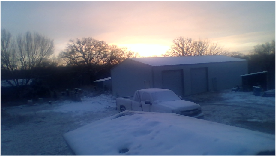
First Freeze of the season, 30°F -
Gone
-
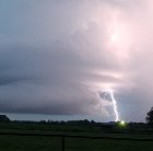
TORNADO ON THE GROUND NE OF DUNCAN, OK!
-
Possible Couplet picking up on radar near Piedmont, Velocity is weak right now but it could ramp up since it's in a favorable environment for supercells.
-
I know! October was basically May except 5 months late! It appears that there is a solid tornado threat for Oklahoma, especially the squall line tornado threat.
-
Very strong concern for my area (Central Oklahoma), SE Oklahoma, & Southern Oklahoma tonight. the SPC is calling for a higher chance of Tornadoes, up to Tennis Ball sized hail & 70 mph wind gusts. It appears that the area of Highest Instability is along & east of I-35, along & south of I-40, along & west of US-75 or US-69, & along & north of US-70.
-
Well, that got interesting.
-
It's the Hurricane-force low ~500 Miles ENE of Bermuda, would it be crazy if it became a SS Hurricane?
-
Some Thoughts on the Winter 2021-22 Outlook
Iceresistance replied to OHweather's topic in Weather Forecasting and Discussion
Can someone please put out the Analogs for the back-to-back February Cold Waves? (1977 & 1978 for example) I saw it on an another forum, but I've since lost it. -
Some Thoughts on the Winter 2021-22 Outlook
Iceresistance replied to OHweather's topic in Weather Forecasting and Discussion
More like, later this winter. -
Some Thoughts on the Winter 2021-22 Outlook
Iceresistance replied to OHweather's topic in Weather Forecasting and Discussion
I can also confirm that this La Nina may have caused the PV to become more unstable & will dive down somewhere in the Northern Hemisphere. -
Southern Plains Winter 2021-2022
Iceresistance replied to Iceresistance's topic in Central/Western States
The GFS is consistently showing an active winter pattern across the Central & Southern Plains, but the timing & storms strength is not in full agreement yet. -
Yeah, I can confirm that this also happened when the GFS-Para existed as well.
-
Or if it develops consistency, like what it did in February 2021
-
The 12z GFS is getting me very strongly concerned for the Northern Plains, very high impact storm next weekend for the area with Blizzard conditions. Parts of Western Nebraska will get up to 40 inches of snow with 9 to 12 Feet snowdrifts, the Dakotas & parts of Minnesota will have 2-3 Feet of snow with 5-8 Feet Snowdrifts.
-
Wanda has become Post-Tropical
-
Southern Plains Winter 2021-2022
Iceresistance replied to Iceresistance's topic in Central/Western States
I do want to mention that the CFS is having unusual consistency on possible winter weather in the Central/Southern Plains in early December. -
The GFS model does have some consistency on this, but the timing & how cold it would get is not consistent.
-
Southern Plains Winter 2021-2022
Iceresistance replied to Iceresistance's topic in Central/Western States