SnowenOutThere
-
Posts
5,629 -
Joined
-
Last visited
Content Type
Profiles
Blogs
Forums
American Weather
Media Demo
Store
Gallery
Everything posted by SnowenOutThere
-
GFS looks to have a bit more confluence so may be a bit cooler
-
No matter what it was a fun 24 hours of serious tracking. That said, the confluence is just not timed with the storm anymore so it’s probably over.
-
Well the euro Ai is pretty much ots again
-
Wonder if the seasonal deamp trend will kick in soon or if this will be the storm to break it
-
Looks a tad bit deamped with maybe a bit more confluence which honestly may give us more breathing room
-
Yeah I think it just doesn’t show freezing rain for some reason
-
Oh Im at hour 144 and thought it might be a bit better
-
Damn I thought we were canceling December and winter as a whole 3 days ago
-
How much did uva get for that storm? Besides it’s not finals yet so who knows.
-
Would get me out of my chem exam the 3rd so I’m happy with it
-
Looks like 18z GFS while giving us a bit of ice with the system before the 3rd might shear out the 3rd system
-
Would start right before daylight with temps in the upper 20s so pretty legit
-
Lots of good confluence in the northeast too
-
Can’t believe it’s only a week out! Definitely our first realistic window with pattern support (and ofc the cmc is delayed)
-
Wonder if 18z gfs can do something. It’s a more progressive look out west so I doubt we get enough cold air push
-
Hell the 6Z GFS even has a December 5th reprise!
-
Seriously what the hell is wrong with everyone in this thread. It is November, we are tracking a pattern for a month from now, things will change, and either way it is for December.
-
Diabolical 1-95 map and I love that for them
-
Is there any meteorological reason for this as opposed to the typical warming trend? Is the pattern different or upper levels atypical to the past?
-
Side note don’t ride a bike in the rain, it won’t end well for your backside
-
Don’t worry guys the high reflectivity over Cville is not mixed snow but instead just melting snow aloft and heavy rain at the ground.
-
2009 being in there is pretty hype
-
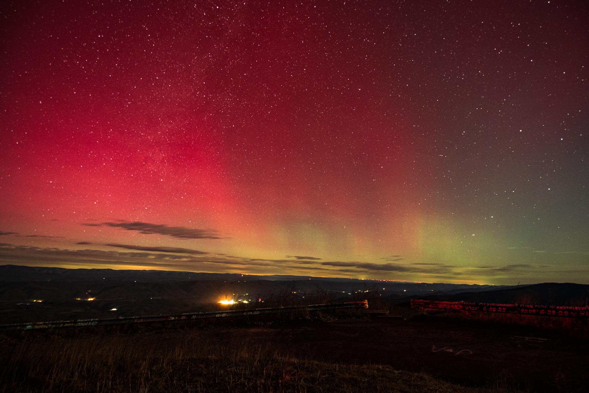
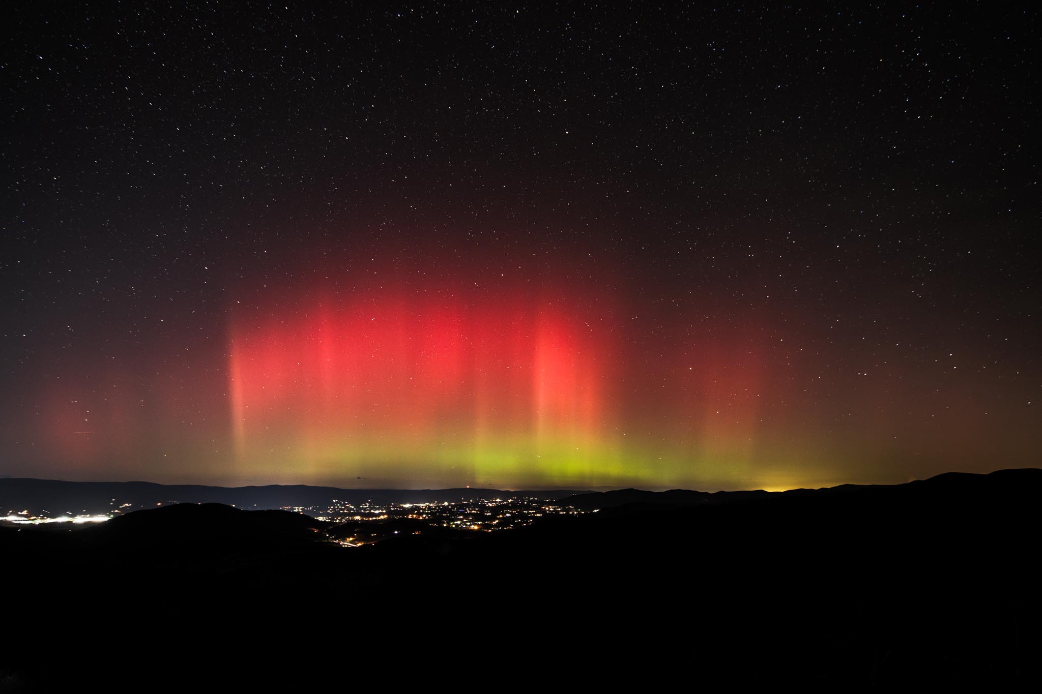
Cross posting to banter since I doubt many people are still looking at the aurora thread (till next storm at least). That said, next storm if anyone would want to meetup at Reddish Knob, Sandy Bottom overlook (Shenandoah) or Spruce Knob Dm me when the time comes.


-
Edited results of the past two days!
-
Worth it though