.jpg.7212c88cd7a6ee918250d4a9d2a8d183.jpg)

Chicago916
-
Posts
315 -
Joined
-
Last visited
About Chicago916

- Currently Viewing Forum: Lakes/Ohio Valley
- Birthday September 16
Recent Profile Visitors
4,616 profile views


-
I was just hoping for more thunderstorms, but looks like between snow and thunderstorms, we've landed in the middle so we'll get neither lol
-
Never been so confused catching up on a thread. Models haven't really changed all too much (kinda wild given the many pieces of energy)? Are we rooting for a miss north? Are we vague posting?
-
Glancing at the EPS mean qpf and I'm gonna need some see some ensemble members... Lol
-
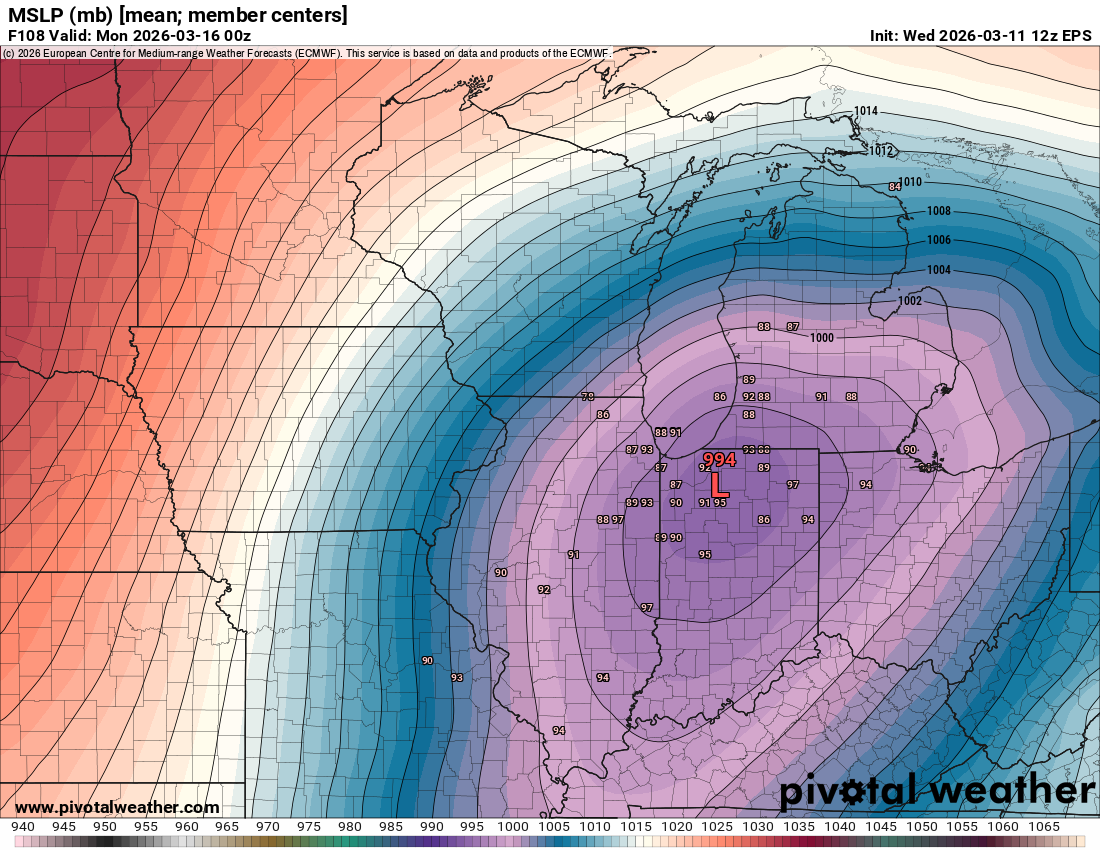
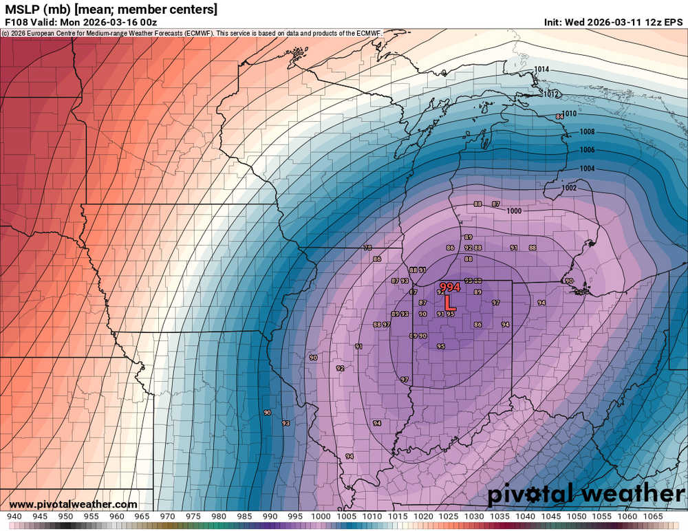
EPS big shift South?
-
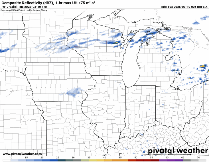
The 0z RRFS was actually fairly accurate after all. Single tornadic storm south then elevated cluster of hailers behind it (ducks)
-
Very cool satellite right now. Lake breeze continuing to move south, but also erosion of the cloud deck moving north. If anyone wants a great resource, I use Victor Gensini's site to have many resources available at once https://atlas.niu.edu/mapwall/
-
Idk if I buy the more northward trend of the front in IL to continue anymore then it has already, but the more north it trends, the higher the population threatened by a potential strong tornado (no guarantee obviously!)
-
Those north of the front may still not want to not park their cars outside with the higher risk for large hail with elevated storms.
-
Tuesday looks yikes on CAMS so far. If a storm latches onto the WF...thread worthy?
-
Tuesday might be interesting around here. Will higher dews make it north is the question though.
-
Morning large complex of decaying storms/rain likely ruining a later severe threat? It really is Summer.
-
Haha I wasn't even complaining but just giving my take. I know climo, but this season in its entirety for me was eh. Not the most enjoyable despite a couple events. I think the lack of even modeled storms ruined the season too for me because that at least gives hope and opportunity. Too many mid/long range storms went poof and never came back vs. allowing for longer tracking of trends that actually became reality.
-
Not understanding the copium about this winter. It sucked. Quantitatively sure it will still be near average. But taking it all in this Winter was terrible from a snow enthusiast perspective. Most snow came early, frequent CAD, and not many opportunities for meaningful storms. Cherry on top too was the South getting impactful snow again and the Northeast getting hit hard late season. Seasonal and long range forecasts all indicate some warm air moving in and after that sure there's opportunities for cool weather, but too little too late and that opportunity will likely disappear at shorter range. C- winter.
-
Winter 2025-26 Medium/Long Range Discussion
Chicago916 replied to michsnowfreak's topic in Lakes/Ohio Valley
I thought this is an every year thing when it's late season? Like a modeled SSW that leads to the polar vortex shrinking and going poof because of the season. -
In true GFS fashion, it's ensembles improved lol I still think this is a turd storm though.