Northof78
-
Posts
574 -
Joined
-
Last visited
Content Type
Profiles
Blogs
Forums
American Weather
Media Demo
Store
Gallery
Everything posted by Northof78
-

2-7-21 Sunday 8-12 hour nor'easter snowstorm roughly 5A-5P
Northof78 replied to wdrag's topic in New York City Metro
Gives me another 13"... I take to the Bank. -
2-7-21 Sunday 8-12 hour nor'easter snowstorm roughly 5A-5P
Northof78 replied to wdrag's topic in New York City Metro
Winter Storm Watch up for PHL zones Hunterdon, Somerset, Middlesex and south for 5"+ -
2-7-21 Sunday 8-12 hour nor'easter snowstorm roughly 5A-5P
Northof78 replied to wdrag's topic in New York City Metro
NAM looks good @ 84, but still too early to fully extend out -
Gfs prob similar...
-
-
2-7-21 Sunday 8-12 hour nor'easter snowstorm roughly 5A-5P
Northof78 replied to wdrag's topic in New York City Metro
Topic started for 2/5 more minor event, could be 1-3/2-4" for some in the forum... -
Topic started for the Friday (2/5) more minor (but higher confidence) event for some in the region.
-
NAM has around 0.3" to 0.4" QPF with 850s below 0C for most through event.
-
2-7-21 Sunday 8-12 hour nor'easter snowstorm roughly 5A-5P
Northof78 replied to wdrag's topic in New York City Metro
Is there a snow map for this run? -
So if I was 2.3" ish QPF, 100% snow, and lost no accumulation to melting, is the best estimate of 'true' snowfall is around 23" even though I would say max depth is around 15-18" or so
-
Moderate snow once again here....
-
TTN and PHL both reporting mod/heavy snow with 0.25 vis
-
Light snow continues...
-
You can shave 2-4" off of that total as some has already fallen within that, but still good accums should come in...
-
New NAM has around 1"/hr. average snows for the entire forum through about 8pm, than lower rates thereafter...
- 1,932 replies
-
- 2
-

-
- heavy snow
- wind damage
- (and 1 more)
-
Agreed, winds really whipping up now...lots of blowing and drfiting
-
Seems like any 'rogue' sleet is diminishing with mostly snow taking over, should be accumulating snow for quite a while for most...with bands (albeit weaker) than initial coming in off the ocean...
-
Official Obs: (2pm) TTN: Light Snow (1.75) SMQ: Light Snow (?) EWR: Heavy Snow (0.25) CPK: Mod/Heavy Snow (0.25)
-
Very heavy snow continues...large flakes, around 1.5"/hr.
-
Heavy snow holding on here...no pings yet, about 1.5"/hr. within this intense band
-
Mod/Heavy snow continues on the W Essex/Union county line...
-
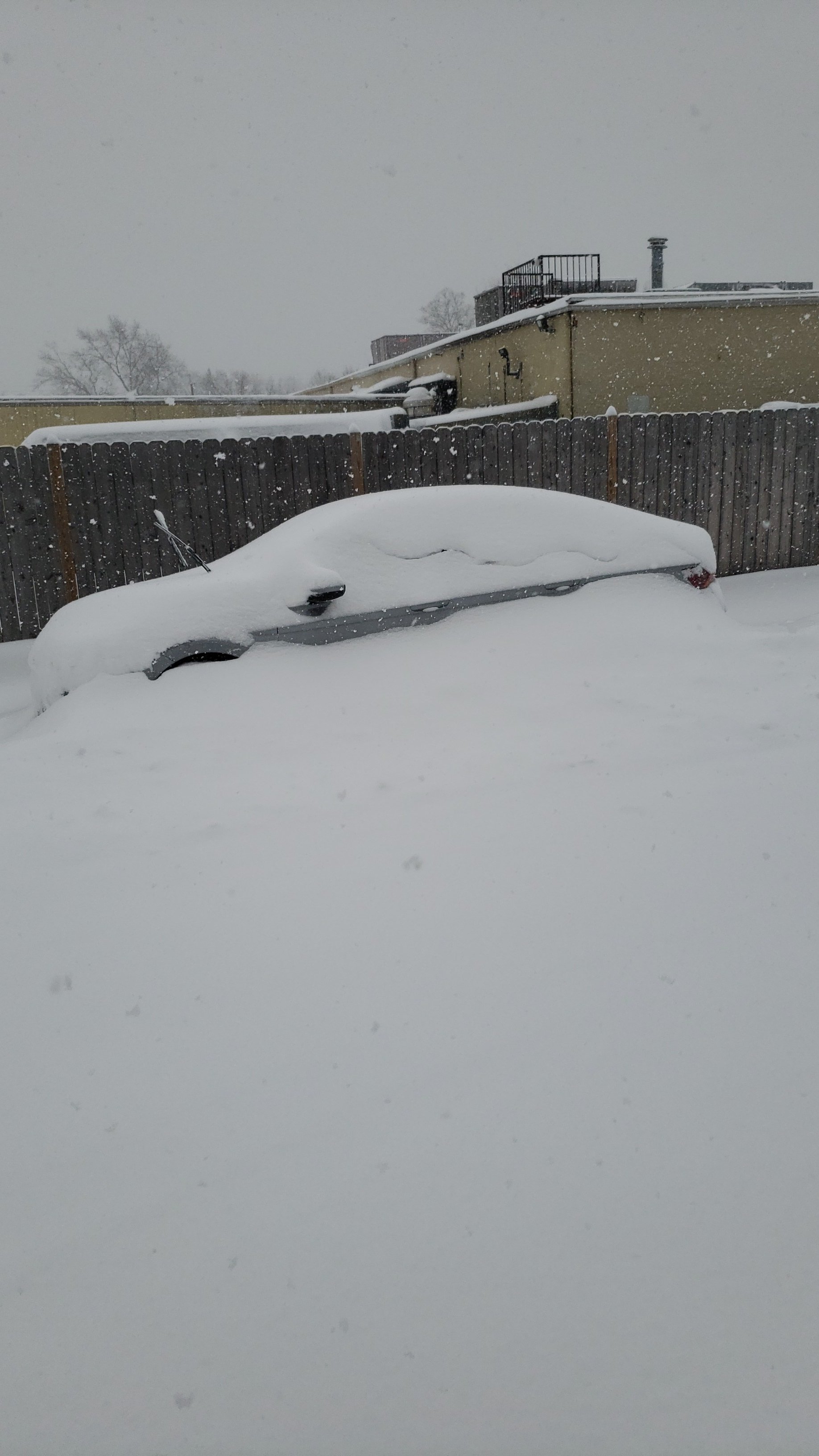
Heavy Snow (around 1.5" - 2"/hr. or so); with approximately 11" - 12" OTG, will measure later.
-
CPK (and most area airports) reporting HVY SNOW, CPK down to 0.15 vis
- 1,932 replies
-
- 1
-
-
- heavy snow
- wind damage
- (and 1 more)
-
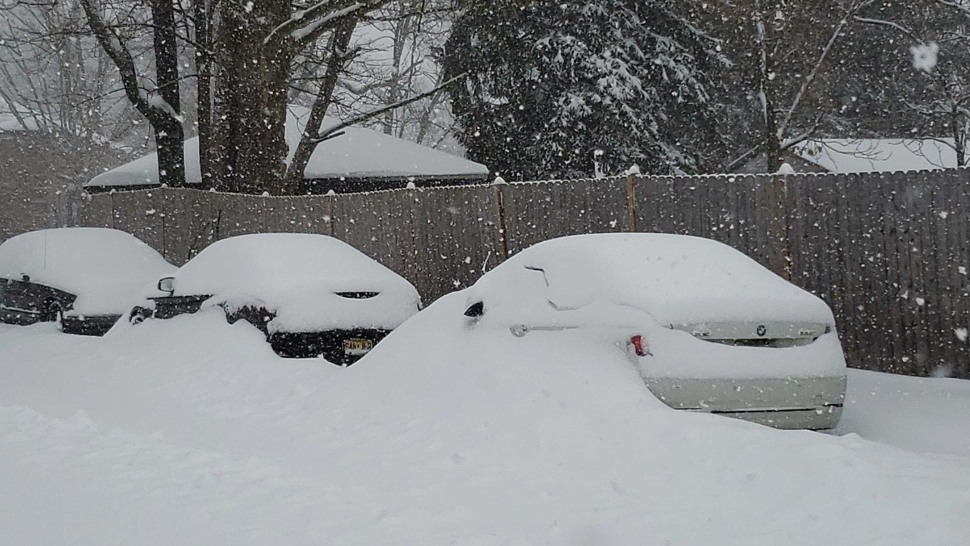
Heavy snow (around 1.0- 1.5"/hr.) and with about 8.5" -9.0" OTG, ratios looks to be at or above 12:1