patrick05
-
Posts
1,312 -
Joined
-
Last visited
Content Type
Profiles
Blogs
Forums
American Weather
Media Demo
Store
Gallery
Everything posted by patrick05
-
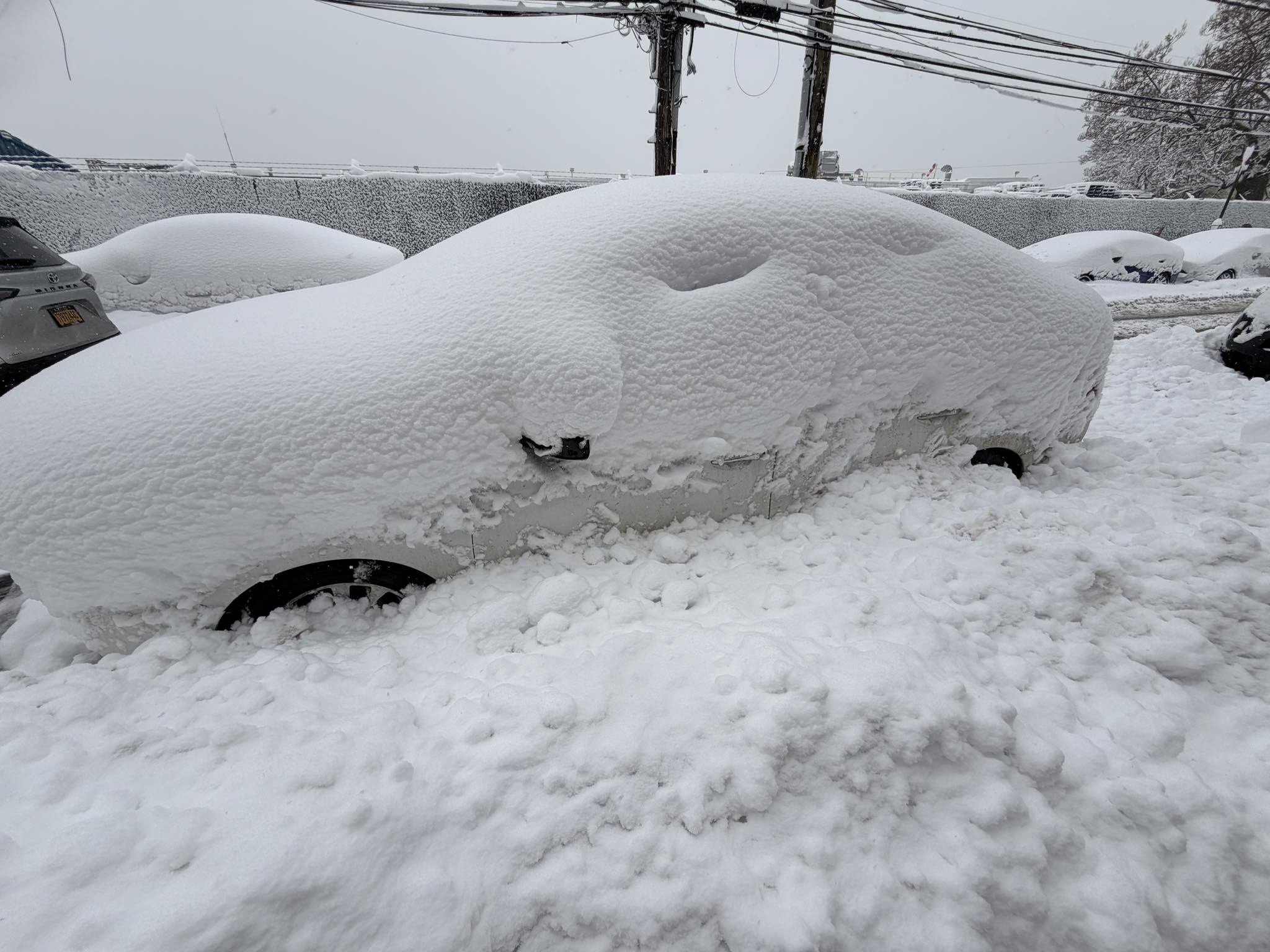
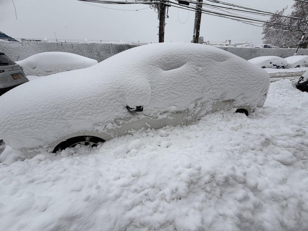
This is from my brother in College Point, couple miles from LGA. Roads are getting plowed but the side street parking is a mess with how deep the snow has gotten.
-
METAR KEWR 230851Z 35026G39KT 1/2SM R04R/4500VP6000FT -SN BLSN BR FEW006 OVC013 M01/M02 A2951 RMK AO2 PK WND 36047/0807 SFC VIS 3/4 SLP992 SNINCR 1/14 P0000 60004 T10111022 55030 $ METAR KJFK 230851Z 36031G41KT 1/2SM R04R/2400V3000FT SN BLSN FZFG VV007 M01/M02 A2944 RMK AO2 PK WND 35043/0814 SLP967 SNINCR 1/12 P0002 60004 T10111017 56038 $
-
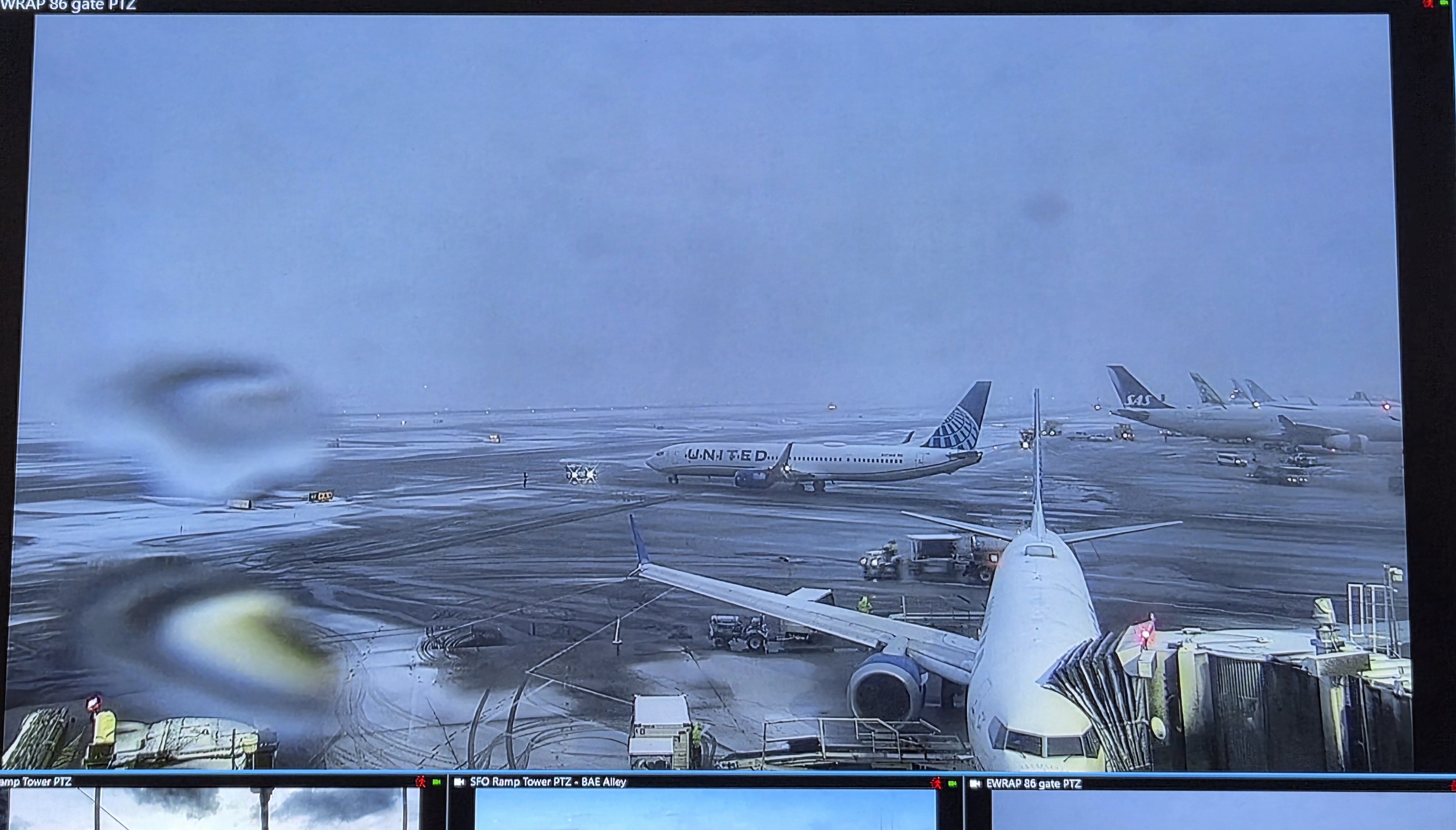
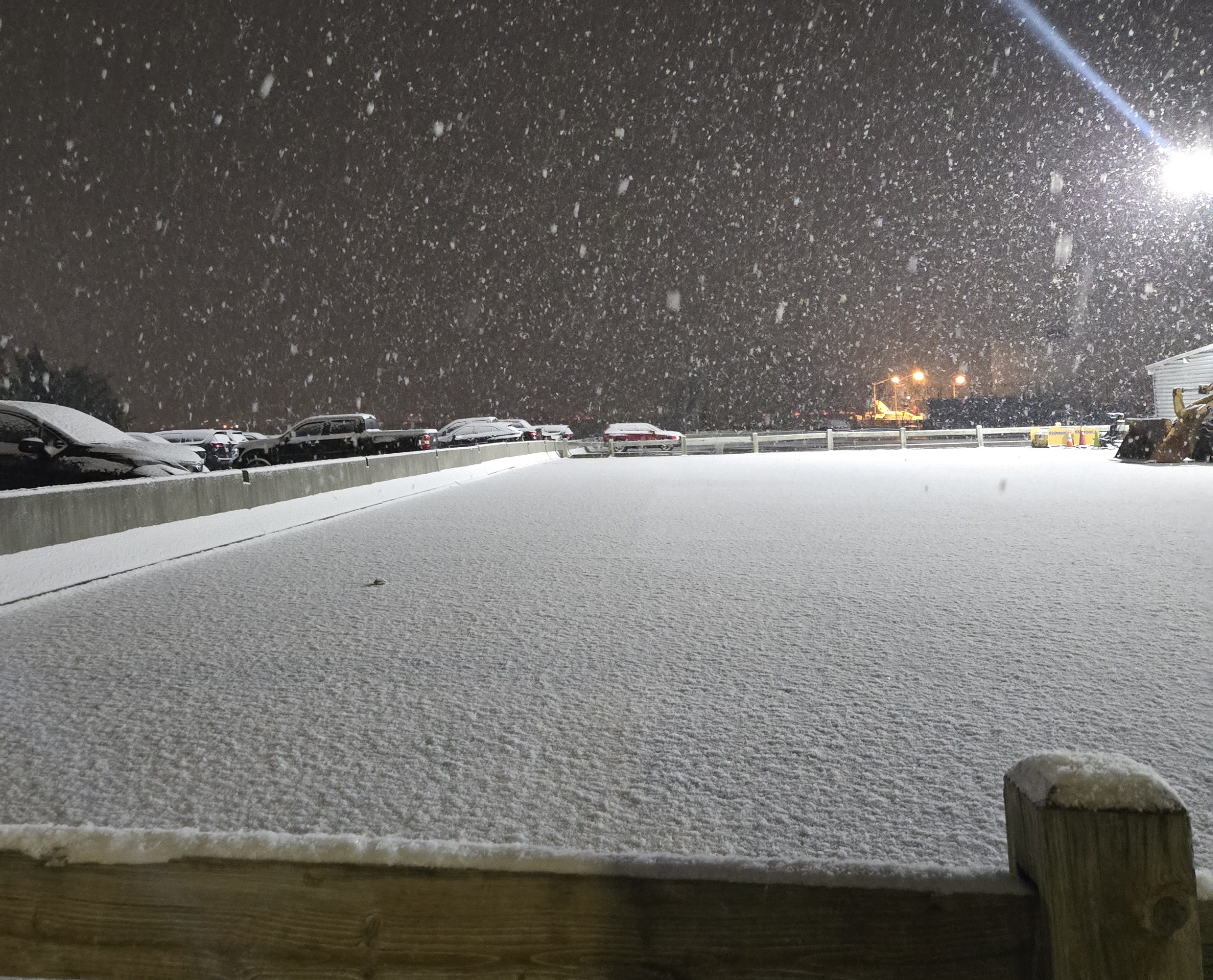
Been watching the work webcam at our EWR ramp slowly get covered

-
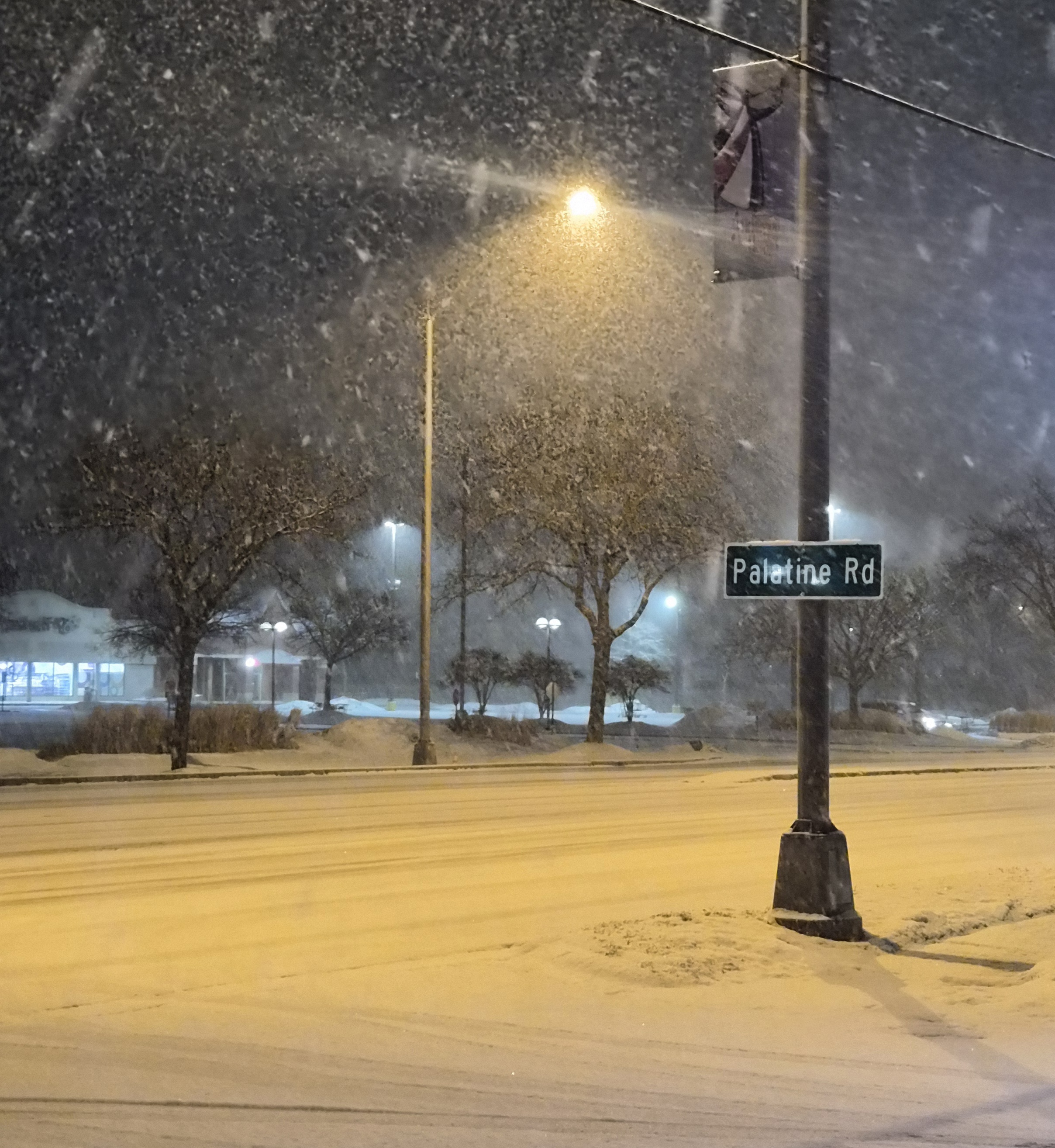
Arlington Heights

-
Interestingly enough it is now shown as -SNPL instead of the PLSN they were reporting 1.5 hours ago so for some reason, they're showing it as Snow is now the more dominant precip out there
-
Nov 28-30th Post Turkey Day Winter Storm
patrick05 replied to Chicago Storm's topic in Lakes/Ohio Valley
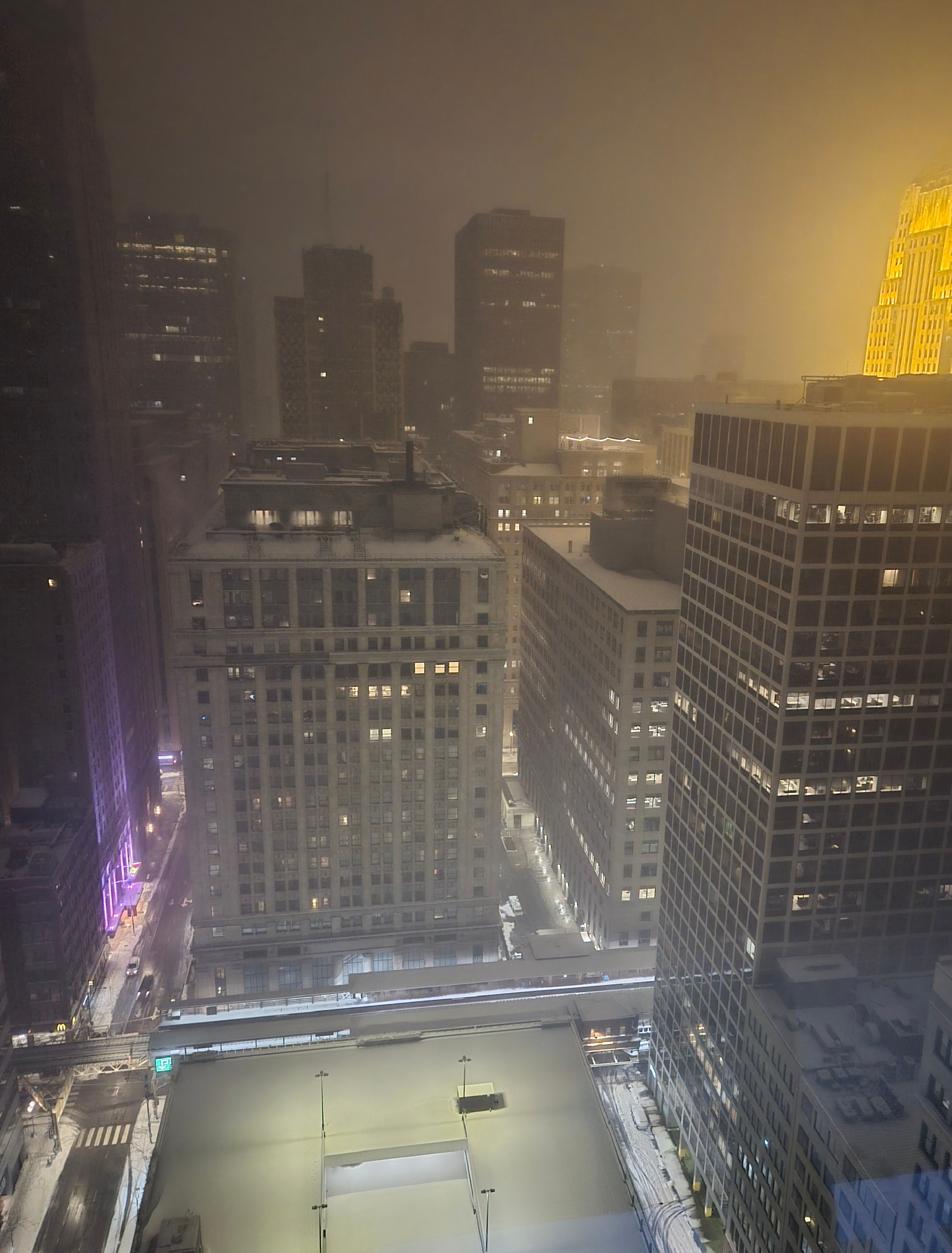
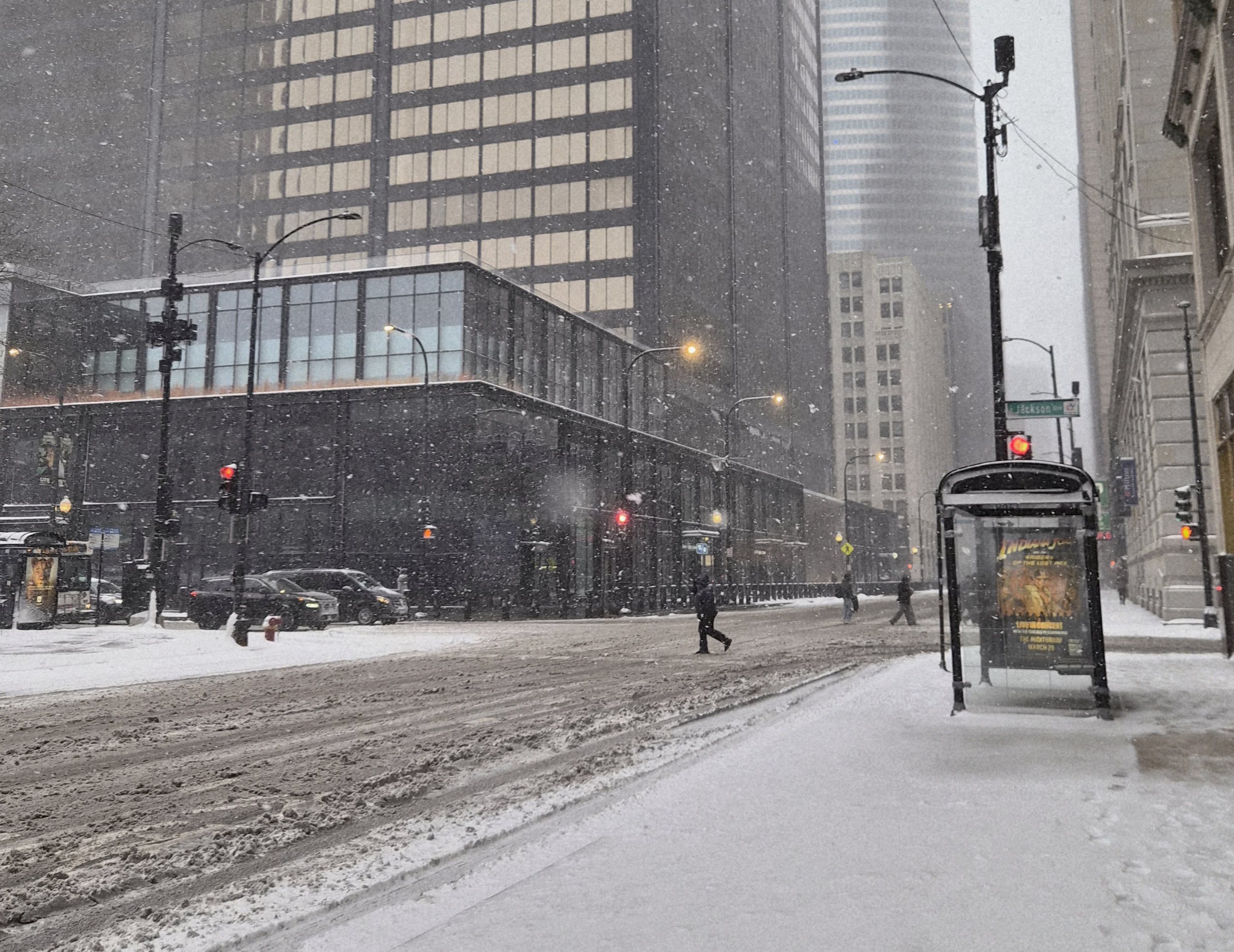
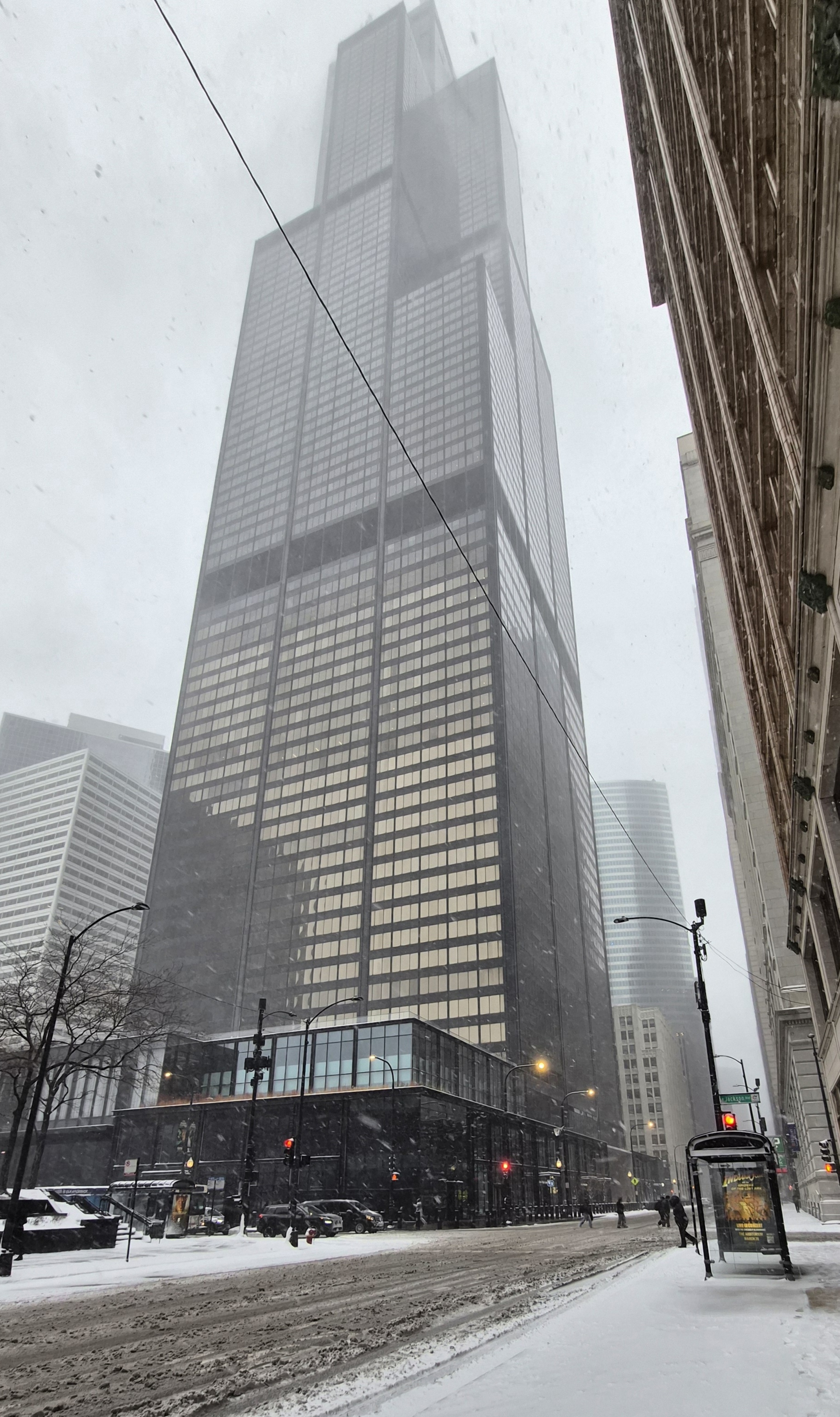
Cool little storm! East view from Willis
-
Nov 28-30th Post Turkey Day Winter Storm
patrick05 replied to Chicago Storm's topic in Lakes/Ohio Valley
Just eyeballing but I'd say close to around 4" maybe 5-ish around the Loop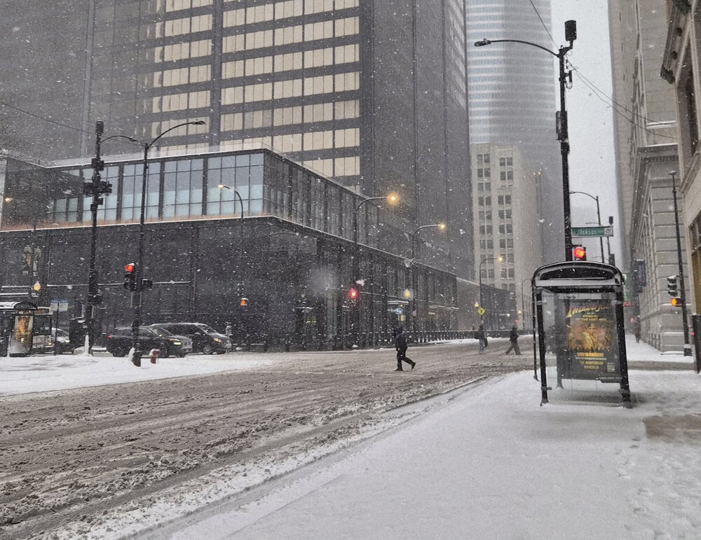
-
Nov 28-30th Post Turkey Day Winter Storm
patrick05 replied to Chicago Storm's topic in Lakes/Ohio Valley
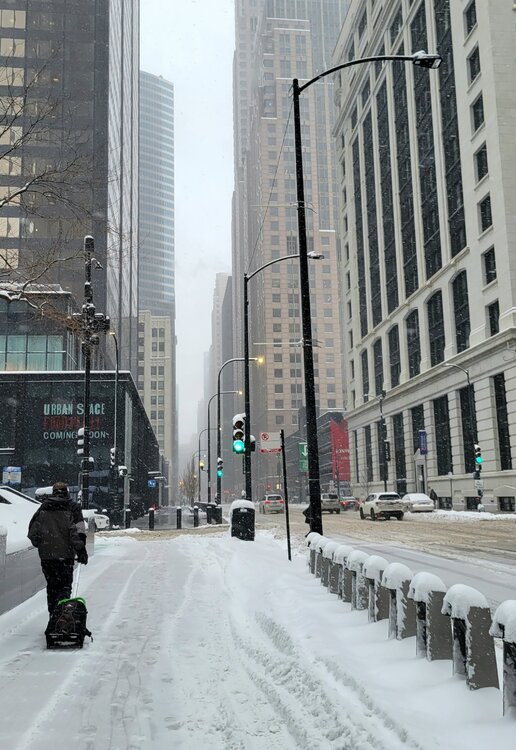
Scenes from near Sears Tower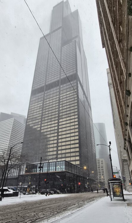
-
928mb over Haikou (ZJHK) ZJHK 061100Z 01003MPS 3000 R09///// R10/P2000 SHRA SCT010 SCT026CB SCT026 25/25 Q0928 BECMG TL1200 25020G35MPS 1000 +SHRA
-
Pic from a couple hours ago, South Loop area
-
Thank you! Haha, yes I've had my fair share of disappointments with the coastal storms there. Have gotten numb to it at this point
-
snow in the loop.. can't wait how much we get also, just moved to Chicago from the northeast
-
damn Central LI is getting rocked with more to come from the south too
-
Just FYI, LIRR suspending operations tomorrow. Last trains leave before 630am
-
I'm not sure any of the models were running 4DVAR back in 1888 but I could see the 00z suite back then showing 40inch totals.. jk jk jk
-
Damnnnnn.. I'm so sad I'm gonna miss this... but I already told my parents it could be yuge there.. enjoy the Holbrook snow for me!
-
I read something about the recon sampling over the Pacific.. has that been ingested into tonight's 00z suite??
-
Is it just me or is the shafted region across NJ/Philly area looking very phallic
-
Seeing some flakes flying on the East Hampton Beach Cam https://www.youtube.com/watch?v=a2cb86biAsk
-
OBS and nowcast Thursday morning 2/18 - 11PM Friday 2/19/21
patrick05 replied to wdrag's topic in New York City Metro
Didn't bother measuring either.. only interested in +6-inches this year it has been drizzling the past hour and a half so I'm sure that has compacted the amounts too by now wasn't expecting much out here anyway but that burst of heavy snow with huge flakes was nice while it lasted and good to have the snowpack freshen up again.. -
OBS and nowcast Thursday morning 2/18 - 11PM Friday 2/19/21
patrick05 replied to wdrag's topic in New York City Metro
Yea this is easily the heaviest so far this storm.. huge flakes -
Tale of two cities out west tonight with Chicago getting buried with LES while Cincinnati, forecast to have 8-12", got mostly sleet this afternoon and just recently switched to snow. The Chicago vids on twitter are just insane, so jealous of those LES
-
OBS and nowcast mainly midnight - Noon Thursday Feb 11
patrick05 replied to wdrag's topic in New York City Metro
CPK: 1.3" EWR: 2.4" JFK: 2.2" LGA: 1.2" ISP: 1.8" -
Laughable differences with the GFS from 06z to 12z today lol Now showing potential ice storm for NYC east.. it's much better than what it was showing at 06z tho