MN Transplant
-
Posts
17,189 -
Joined
-
Last visited
Content Type
Profiles
Blogs
Forums
American Weather
Media Demo
Store
Gallery
Everything posted by MN Transplant
-
Some upper 70s pixels on the Sterling velocity scan as it crosses 50 between Middleburg and Aldie.
-
Yeah, that one has some nasty velocities on radar.
-
2.45" summer-to-date
-
3” would double my entire summer
-
12z GFS has this hang around and not clear the East coast until a week from Sunday
-
Trace
-
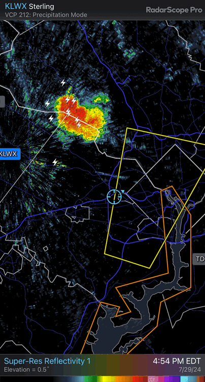
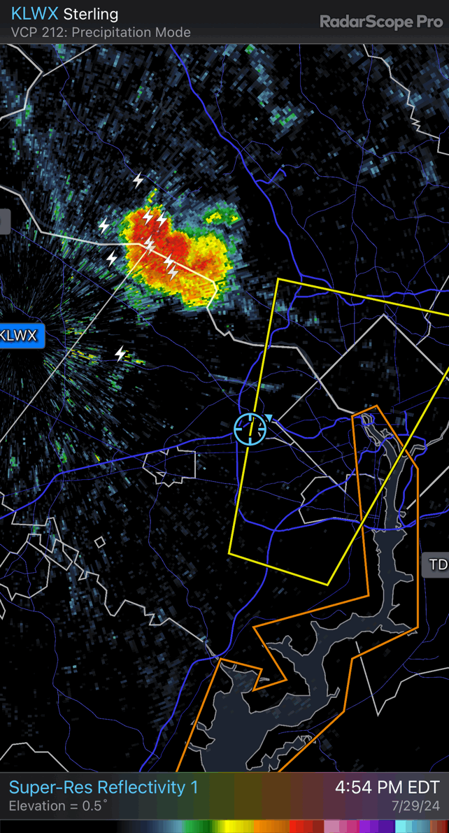
Not sure why I even bother opening RadarScope
-
Official highs DCA: 99 IAD: 101 (record) BWI: 100 (record)
-
And there’s your record-breaking 100 at BWI.
-
A clean 100 on the hourly at IAD. I’ve been bouncing between 98/99 depending on the sun ducking in and out of the clouds.
-
No 5-minute obs of 100 yet. DCA got a little westerly component to the wind and went immediately to 98.
-
Trough misses it. Interesting solution in that the front that comes down with the trough to us on Wednesday just kind of hangs out, with an onshore flow for the rest of the week. Certainly would help with temps.
-
Highs as of 2pm: DCA: 95 on a stiff river wind IAD: 99 BWI: 98 Heat indices as high as 107/108
-
Rack it up. Another 100 at home.
-
98.1 so far at home. Miserable.
-
The new lawn chair picture. Another 80+ morning low at DCA.
-
101 for a record at BWI and nobody cares. 99 at IAD, 97 at DCA.
-
BWI 100 DCA 96/97 IAD 98/99
-
BWI 98 or 99 so far
-
I got 96.6 today and IAD looks like it got 96 or 97. Did get a shower just now. Too quick, but at least it poured. 0.14” new.
-
Robust line of storms for Friday evening on the 12z NAM Nest. Better in MD, but there's plenty of time (for it to go to PA).
-
Got a quick shower after midnight for 0.12”.
-
Confirm. Not a drop.
-
This kind