-
Posts
13,228 -
Joined
-
Last visited
Content Type
Profiles
Blogs
Forums
American Weather
Media Demo
Store
Gallery
Everything posted by Kmlwx
-
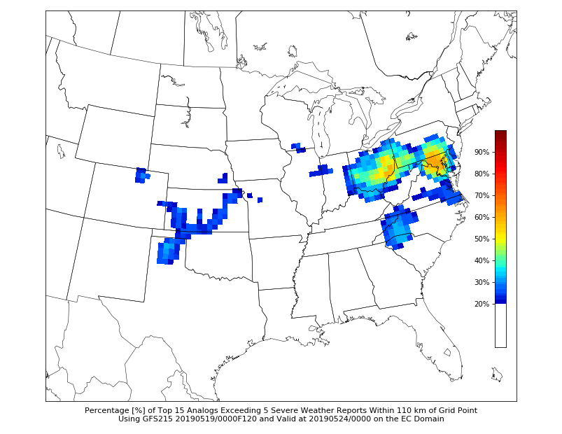
Thursday continues to look interesting on CIPS and GFS.
- 2,802 replies
-
- severe
- thunderstorms
- (and 4 more)
-
- 2,802 replies
-
- severe
- thunderstorms
- (and 4 more)
-
I was in Calverton earlier and the lightning off in the distance looked spectacular.
- 2,802 replies
-
- severe
- thunderstorms
- (and 4 more)
-
Sunday doesn't look that impressive anymore locally. But we are close to a slight from SPC. We'll see. Meanwhile - looks like Ian and our guys are in for a nice chasecation!
- 2,802 replies
-
- severe
- thunderstorms
- (and 4 more)
-
We need to change that lol into a woo
- 2,802 replies
-
- 1
-

-
- severe
- thunderstorms
- (and 4 more)
-
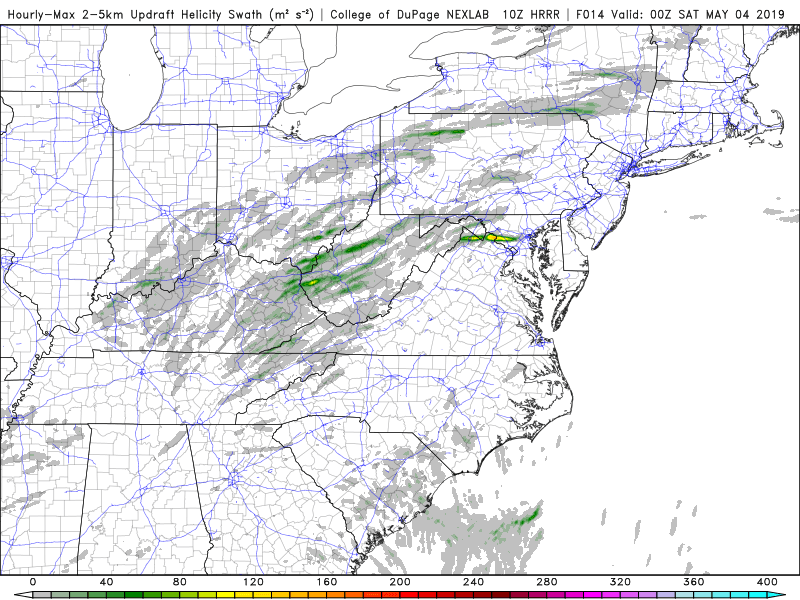
I'm punting today. Looks ho hum around here...and for most of the area. Sunday on the NAM really looks interesting. We'll see if it holds as we get closer. Nice instability of over 3000 on some of the soundings nearby. Good helicity too. And the LOL UD helicity maps on the end of the 3km run are nice looking.
- 2,802 replies
-
- severe
- thunderstorms
- (and 4 more)
-
Sunday afternoon/evening looks like it has potential on the 3km NAM.
- 2,802 replies
-
- severe
- thunderstorms
- (and 4 more)
-
Slight risk for today.
- 2,802 replies
-
- severe
- thunderstorms
- (and 4 more)
-
Looking at LWX velocity scans I'm not sure i see much other than the abrupt windshift.
- 2,802 replies
-
- severe
- thunderstorms
- (and 4 more)
-
That storm is going bonkers right now...
- 2,802 replies
-
- severe
- thunderstorms
- (and 4 more)
-
50kft tops with it too! Impressive!
- 2,802 replies
-
- severe
- thunderstorms
- (and 4 more)
-
Question will become whether it will maintain strength as it crosses the boundary into the more stable airmass north of the front.
- 2,802 replies
-
- severe
- thunderstorms
- (and 4 more)
-
This is extremely lame so far.
- 2,802 replies
-
- severe
- thunderstorms
- (and 4 more)
-
Tstm watch for areas west of the metro area.
- 2,802 replies
-
- severe
- thunderstorms
- (and 4 more)
-
The warned cell is exhibiting some supcellular qualities
- 2,802 replies
-
- severe
- thunderstorms
- (and 4 more)
-
Appears to be a boundary just south of the Potomac running across DC and then into Maryland. Visible nicely on satellite and even a bit on radar too.
- 2,802 replies
-
- severe
- thunderstorms
- (and 4 more)
-
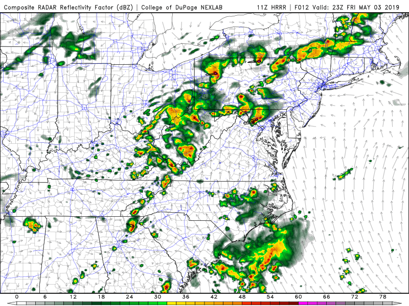
15z HRRR keeps everything north and west of the cities. Doesn't get much at all into the metro corridor.
- 2,802 replies
-
- severe
- thunderstorms
- (and 4 more)
-
Definitely looks like a little "tongue" of clearing is working it's way into central MoCo.
- 2,802 replies
-
- severe
- thunderstorms
- (and 4 more)
-
Delmarva starting to erode the wedge but no such luck in the DC/Balt area.
- 2,802 replies
-
- severe
- thunderstorms
- (and 4 more)
-
Making a little progress - looks like DCA is out of the wedge and maybe even the southern parts of MoCo.
- 2,802 replies
-
- severe
- thunderstorms
- (and 4 more)
-
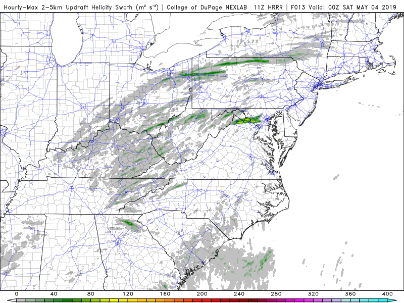
I tend to just use them to get an idea of where the "best" activity might be - and also to look for consistency. Other than that I don't really think they have much use. I've seen days where they look crazy and we get nothing as well as days where just a little green shows up and we get multiple TORs
- 2,802 replies
-
- 1
-

-
- severe
- thunderstorms
- (and 4 more)
-
- 2,802 replies
-
- severe
- thunderstorms
- (and 4 more)
-
- 2,802 replies
-
- severe
- thunderstorms
- (and 4 more)
-
- 2,802 replies
-
- 1
-

-
- severe
- thunderstorms
- (and 4 more)
-
Consistency at least - of course it could be consistently wrong... But 11z HRRR has almost the same thing.
- 2,802 replies
-
- severe
- thunderstorms
- (and 4 more)


