

ORH_wxman
-
Posts
93,099 -
Joined
-
Last visited
Content Type
Profiles
Blogs
Forums
American Weather
Media Demo
Store
Gallery
Everything posted by ORH_wxman
-
EPS is pretty decent looking for the 2/9 threat
-
Epic ice storm in MS/AL too leading into it.
-
Nice bump W on the EPS too.
-
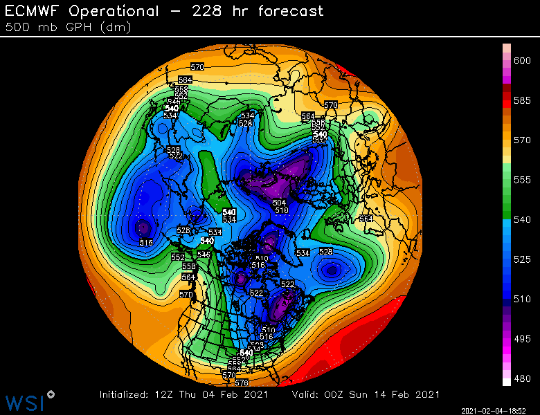
Look at that meridional pattern near the end of the run
-
Euro has kind of a typical SWFE for 2/9. Like 3-6 pike northward (and 6+ for CNE area in C NH to S ME) with 1-3 south and some ytransition to sleet/ZR (and RA on coast). At least that one has a really nice antecedent airmass so it wouldn't take too much gymnastics in the flow to keep it all snow.
-
Yeah where you see those isotherms packed, you'd prob get a weenie band displaced NW of that...esp in a very tilted system like this one. The key is getting it close enough so the realy good band gets over land. It might get the Cape on this run (even though it doesn't directly show it on QPF)
-
18 year anniversary...lets get a band that produces similarly.
-
That has a sweet fronto-banding look on the NW side....get that just a tick west.
-
Scraper this run...maybe 1-2 inches for a chunk of SNE....maybe low end advisory for far SE areas.
-
Yeah it kind of slingshots around the northern stream in the lakes....it just needs enough room to do it.
-
Euro is def west of the 06z run so far....we'll see if it is enough to get decent snows into SNE this run or if it is a scraper.
-
It's the same system. Euro originally had it for Sunday night maybe into very early Monday morning. It is basically just sped up 8-12 hours on the current reincarnation.
-
Yeah sell that...its def cold enough in SE MA, but I'm not sure I buy ACK over to George's bank getting smoked like that yet.
-
It did last storm for sure.
-
Nice bump on V16...that's prob high end avisory or low end warning snows for the SE folks in the PYM to UUU belt.
-
Better than 06z GFS but not at NAM levels....the GFS gets SE MA/RI pretty good though on this run.
-
GFS looks like it is going to be west of 06z just looking at 36 hours out west for 2/7.
-
Lol....you are technically correct. It didn't help us at 12z. Didn't hurt us either though....at least not yet.
-
So that means it trended well SE since it was a big hit at 06z. At least the other guidance was trending NW....even if incrementally.
-
It definitely is "The Ukie of shorter term models". It loves to have some weird solutions and isn't afraid to make big swings. I do like it inside of about 24-36 hours though....it actually did a half-decent job identifying that Maine/NH resurgence in the snow in the last event. It was a little bonkers otu at 48 hours, but more reasonable inside of 30h. But I'm definitely not too worried about what it is doing at 78 or 84 hours.
-
Yeah just a small improvement from 06z....not much help.
-
Normally I'd toss the NAM if it was the only thing zonked like that, but there is other guidance supporting it. GEFS were quite robust and plenty of 06z EPS members were on board even if the OP wasn't quite there yet.
-
You can tell 12z NAM will be significantly more amped than 06z just looking out west already at 36 hours.
-
Yes they have, but still not great...our northern arctic vortmax has come onshore in AK from the Chukchi sea and the "southern stream" (which is really the PJ piece) is still south of the eastern Aleutians, but that's a better area than it was before. However, there's many more variables in here that may not be figured out until closer....the blocking to the north of the PV is one....the handling of the PV itself is another with all those spokes of energy rotating around it and stretching it in various directions. A lot of that stuff is in relatively poor data regions and will stay like that. In my experience, I've found that models tend to handle winter threats a lot worse when we're in this sort of fast flow Nina pattern but with blocking up north causing a meridional flow.
-
One of these ARW control runs that come out on ewall will probably give me 18" in the next few cycles.

